Staindale Lake

Lake, Pool, Pond, Freshwater Marsh in Yorkshire Ryedale

England

Staindale Lake

Path in Staindale Forest
Path in Staindale Forest Credit: Mark Anderson

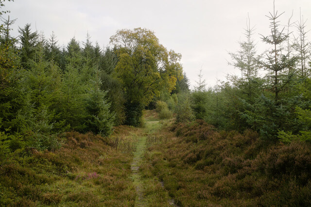
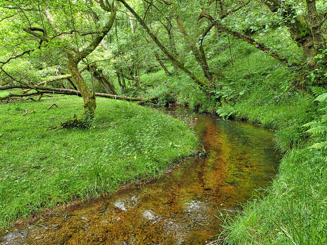
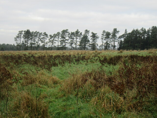
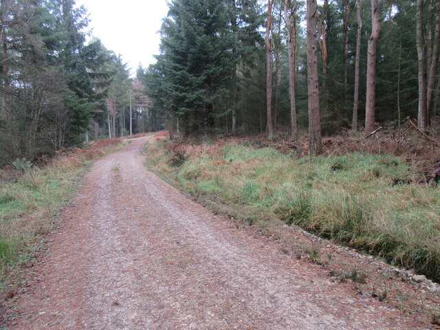
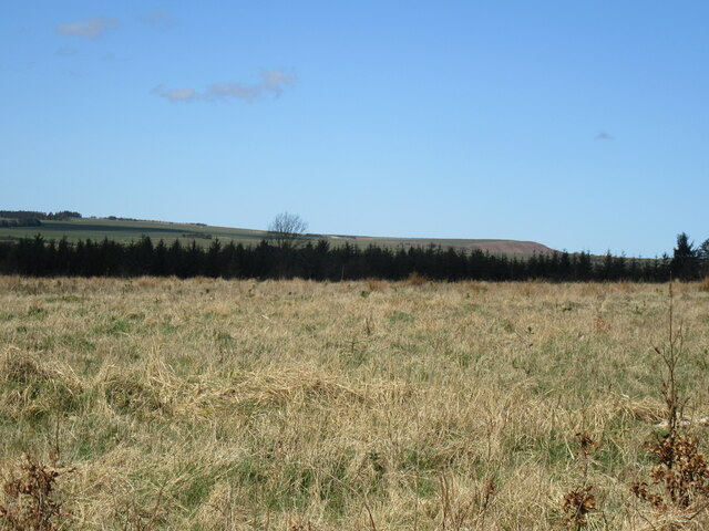
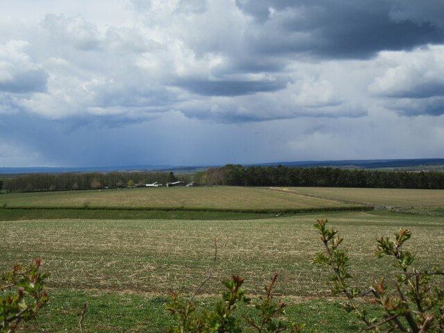
Staindale Lake is a picturesque freshwater marsh located in the scenic region of Yorkshire, England. With its serene surroundings and abundant wildlife, it is a popular destination for nature enthusiasts and photographers alike. Spanning an area of approximately 10 acres, the lake is nestled within the enchanting Staindale Forest, adding to its charm and tranquility.

The lake is characterized by its calm, still waters, which reflect the surrounding lush greenery and create a stunning visual spectacle. Its crystal-clear waters support a diverse ecosystem, making it an ideal habitat for various species of fish, waterfowl, and aquatic plants. Visitors can often spot a variety of bird species, including ducks, geese, and herons, gracefully gliding across the lake's surface or nesting in the nearby trees.

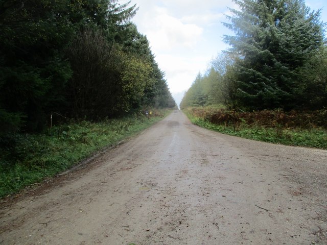
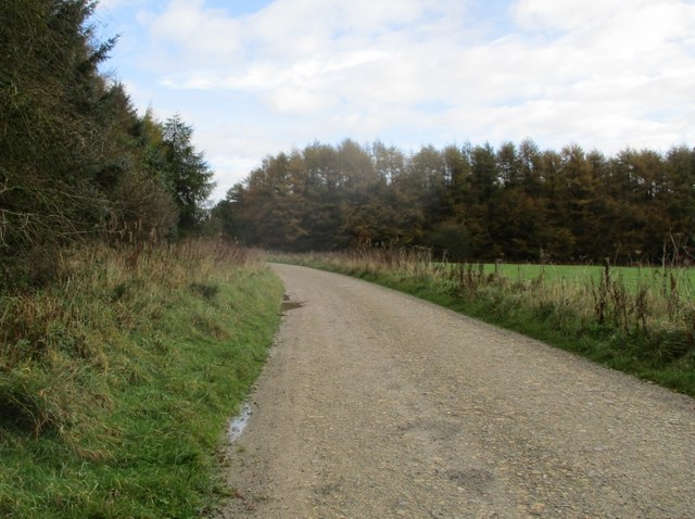
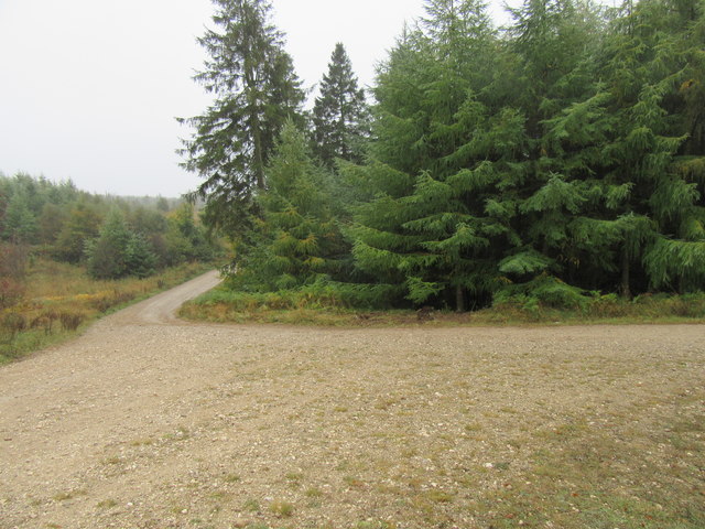
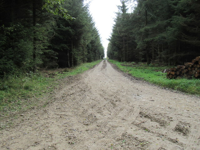
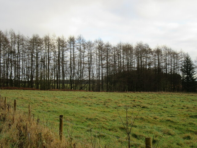
Surrounded by rolling hills and dense woodland, Staindale Lake offers a peaceful escape from the hustle and bustle of everyday life. A network of walking trails winds its way around the lake, providing visitors with the opportunity to explore the area and soak in its natural beauty. The trails also offer breathtaking views of the surrounding countryside, making it a perfect spot for photography enthusiasts.

Whether you are seeking a tranquil spot for relaxation, a chance to observe wildlife, or simply a place to enjoy a leisurely stroll, Staindale Lake is a must-visit destination in Yorkshire. Its idyllic setting, diverse ecosystem, and stunning views make it a haven for nature lovers and a true gem in the region's natural landscape.

If you have any feedback on the listing, please let us know in the comments section below.

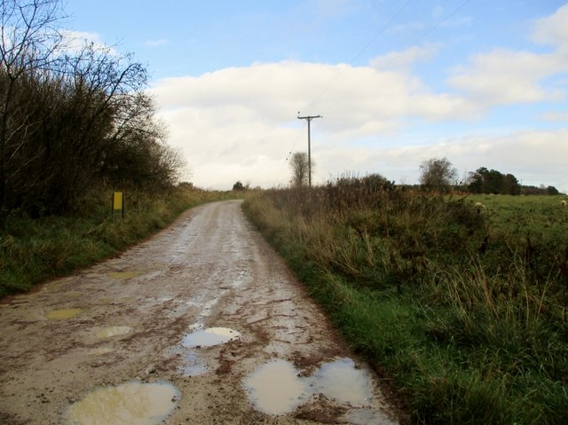
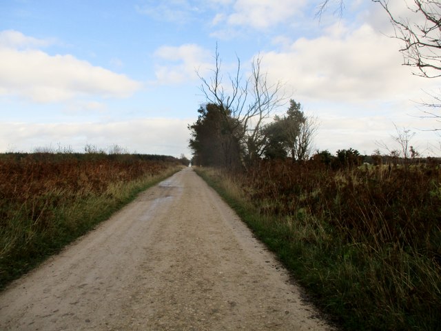
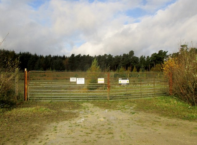
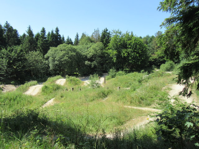
Staindale Lake Images

Images are sourced within 2km of 54.300844/-0.64730152 or Grid Reference SE8890. Thanks to Geograph Open Source API. All images are credited.

Path in Staindale Forest
Staindale Beck A quiet dale just outside the eastern edge of Dalby Forest Park with a wooded beck of crystal clear waters with small trout on one of the National Trust's working farms.

The name Stain Dale comes from the Norse and means a 'stony valley' probably because of the rock formations higher up the valley at the Bridestones.
Staindale Beck
A quiet dale just outside the eastern edge of Dalby Forest Park with a wooded beck of crystal clear waters with small trout on one of the National Trust's working farms. The name Stain Dale comes from the Norse and means a 'stony valley' probably because of the rock formations higher up the valley at the Bridestones.
Forest  track  toward  Jingleby  Tower Walking in Dalby Forest, we are going right here.
Forest track toward Jingleby Tower
Walking in Dalby Forest, we are going right here.
A  small  grass  area  to  the  right  in  Dalby  Forest
A small grass area to the right in Dalby Forest
Track  toward  Ebberston  Low  Moor Not part of the forest drive,rough grazing fields to the right
Track toward Ebberston Low Moor
Not part of the forest drive,rough grazing fields to the right
Track  over  Ebberston  Low  Moor Sheep on rough grazing to the right, trees cropped and replanted to the left
Track over Ebberston Low Moor
Sheep on rough grazing to the right, trees cropped and replanted to the left
Area  used  for  test  drilling  gas  now  mothballed The usual, Private, Danger, you are being watched etc. This is the site of Third Energy. Ebberston Moor A.Gas was discovered here in 1966 and produced gas between May 1971 and 1974.
Area used for test drilling gas now mothballed
The usual, Private, Danger, you are being watched etc. This is the site of Third Energy. Ebberston Moor A.Gas was discovered here in 1966 and produced gas between May 1971 and 1974.
Dixon's Hollow Mountain bike course in Dalby Forest.
Dixon's Hollow
Mountain bike course in Dalby Forest.
Newclose Rigg junction The ditch to the centre of the photo claimed two cars on the night stage of the Trackrod Rally a week earlier, although they did manage to continue.
Newclose Rigg junction
The ditch to the centre of the photo claimed two cars on the night stage of the Trackrod Rally a week earlier, although they did manage to continue.
Red Dyke Trig Pillar
Track in Dalby Forest Looking SE.
Track in Dalby Forest
Looking SE.
Larch trees in Dalby Forest The last week in November and all the needles have fallen.
Larch trees in Dalby Forest
The last week in November and all the needles have fallen.
Peathead Rigg Looking north.
Peathead Rigg
Looking north.
Newclose Rigg Looking east.
Newclose Rigg
Looking east.
Log pile in Dalby Forest Four loaded timber trucks were seen in Dalby Forest today.
Log pile in Dalby Forest
Four loaded timber trucks were seen in Dalby Forest today.
Newclose Rigg view Looking north from Newclose Rigg towards Whinny Nab.
Newclose Rigg view
Looking north from Newclose Rigg towards Whinny Nab.
Stoneclose Rigg Looking west along Stoneclose Rigg, soon there was a light snow shower.
Stoneclose Rigg
Looking west along Stoneclose Rigg, soon there was a light snow shower.
One of the High Bride Stones One of the High Bride Stones on Grime Moor.
One of the High Bride Stones
One of the High Bride Stones on Grime Moor.
Show me another place!

Staindale Lake is located at Grid Ref: SE8890 (Lat: 54.300844, Lng: -0.64730152)

Division: North Riding

Administrative County: North Yorkshire

District: Ryedale

Police Authority: North Yorkshire

What 3 Words

///excavate.exacted.gossip. Near Thornton Dale, North Yorkshire

Nearby Locations

Staindale Lake Grain Slack

Related Wikis

Dalby Forest

Dalby Forest is a forest located on the southern slopes of the North York Moors National Park in North Yorkshire, England. It is maintained by Forestry...

Blakey Topping standing stones

Blakey Topping standing stones is a small group of standing stones near the Hole of Horcum in the North York Moors. It sits at the foot of Blakey Topping...

14–18 NOW

14–18 NOW was the UK's arts programme for the First World War centenary. Working with arts and heritage partners all across the UK, the programme commissioned...

Lockton

Lockton is a small village and civil parish in North Yorkshire, England. It is situated in the North York Moors about 4 miles (6.4 km) north-east of Pickering...

Levisham

Levisham is a small village and civil parish in North Yorkshire, England, located within the North York Moors National Park about 5 miles (8 km) north...

Hole of Horcum

The Hole of Horcum is a section of the valley of the Levisham Beck, upstream of Levisham and Lockton, in the Tabular Hills of the North York Moors National...

Darncombe-cum-Langdale End

Darncombe-cum-Langdale End is a civil parish in the Scarborough district of North Yorkshire, England. According to the 2001 UK census, Darncombe-cum-Langdale...

Pexton Moor

Pexton Moor is an archaeological site in North Yorkshire containing a prehistoric cemetery. It is located at the western edge of Dalby Forest, north of...

Nearby Amenities

Located within 500m of 54.300844,-0.64730152
Toilets
Lat/Long: 54.302195/-0.6515729
Adderstone
Place: locality
Lat/Long: 54.2994531/-0.6525556
Information: route_marker
Tourism: information
Lat/Long: 54.300925/-0.6410075
Information: route_marker
Tourism: information
Lat/Long: 54.3014163/-0.6411489
Bench
Lat/Long: 54.3025487/-0.6502194
Parking
Lat/Long: 54.2970519/-0.6472135
The data included in this document is from www.openstreetmap.org. The data is made available under ODbL.

Have you been to Staindale Lake?

Leave your review of Staindale Lake below (or comments, questions and feedback).