Joyce's Broad
Lake, Pool, Pond, Freshwater Marsh in Lincolnshire North Kesteven
England
Joyce's Broad
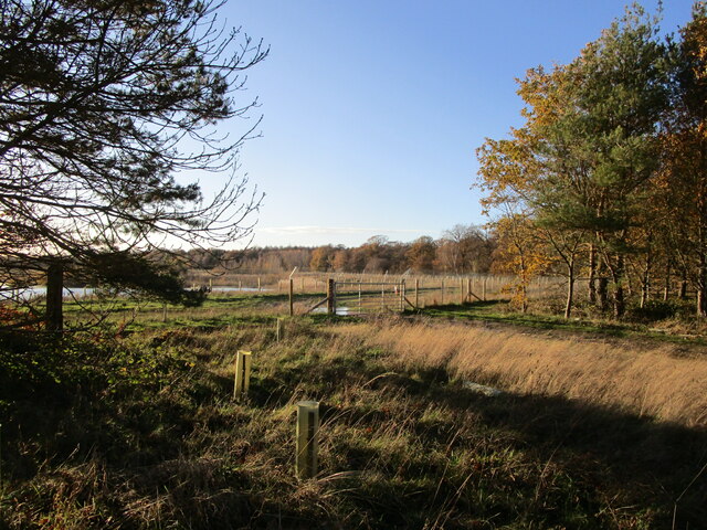
Joyce's Broad is a picturesque freshwater marsh located in the county of Lincolnshire, England. It is a natural water body that can be classified as a lake, pool, pond, or marsh, depending on the season and water levels. The broad is situated in the heart of the Lincolnshire countryside, surrounded by lush greenery and diverse wildlife.
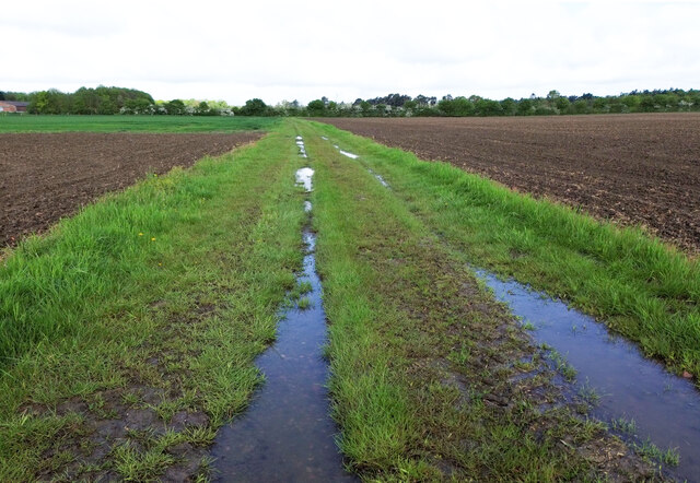
Covering an area of approximately 10 hectares, Joyce's Broad is a haven for both plant and animal species. The marshland is characterized by its shallow waters, abundant vegetation, and rich organic soil. It supports a variety of aquatic plants such as reeds, rushes, and water lilies, providing a vital habitat for numerous species of birds, insects, and amphibians.
The broad is particularly renowned for its birdlife, attracting birdwatchers and nature enthusiasts from near and far. Visitors may spot a range of bird species, including herons, bitterns, grebes, and various waterfowl, both resident and migratory. The tranquil surroundings and diverse ecosystem make it an ideal spot for bird nesting and breeding during the spring and summer months.
The broad also offers opportunities for recreational activities such as fishing and boating. Anglers can enjoy the challenge of catching fish species like perch, roach, and tench that inhabit the waters of Joyce's Broad. Boaters, on the other hand, can navigate through the calm waters, taking in the serene beauty of the marshland.
Joyce's Broad is a cherished natural gem in the Lincolnshire landscape, offering visitors a chance to immerse themselves in the wonders of freshwater ecology and observe the beauty of wildlife in its natural habitat. Whether one seeks tranquility, birdwatching, or leisurely angling, this broad provides an idyllic setting for nature enthusiasts to explore and appreciate the natural world.
If you have any feedback on the listing, please let us know in the comments section below.
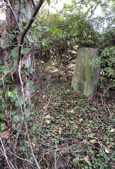
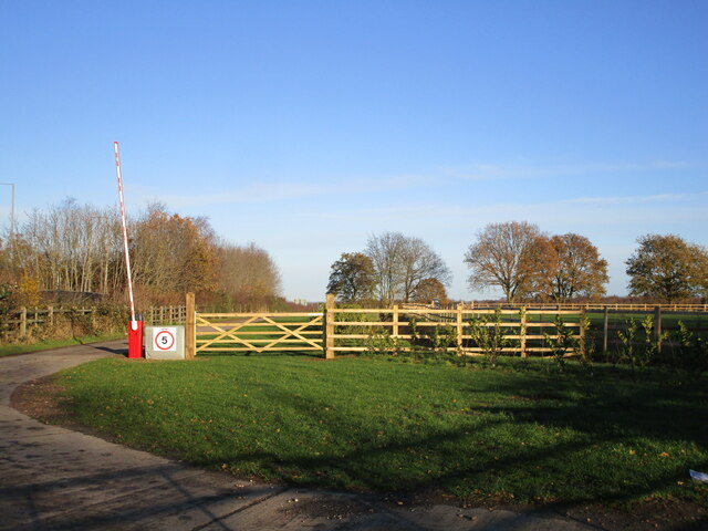
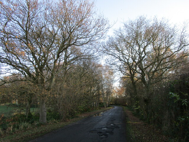
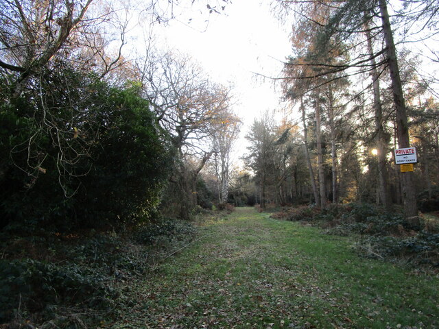
Joyce's Broad Images
Images are sourced within 2km of 53.13779/-0.68432228 or Grid Reference SK8860. Thanks to Geograph Open Source API. All images are credited.


Joyce's Broad is located at Grid Ref: SK8860 (Lat: 53.13779, Lng: -0.68432228)
Administrative County: Lincolnshire
District: North Kesteven
Police Authority: Lincolnshire
What 3 Words
///cherished.quits.tempting. Near Bassingham, Lincolnshire
Nearby Locations
Related Wikis

RAF Swinderby
Royal Air Force Swinderby or more simply RAF Swinderby is a former Royal Air Force station airfield opened in 1940, one of the last of the stations completed...
Witham St Hughs
Witham St Hughs is a village in the Parish of Thurlby in the North Kesteven district of Lincolnshire, England. The population of the civil parish (including...

Norton Disney
Norton Disney is a small village and civil parish on the western boundary of the North Kesteven district of Lincolnshire, England. It is situated on the...

Swinderby
Swinderby is a village and civil parish in the North Kesteven district of Lincolnshire, England. The village is situated just north of the A46 road, 8...

Thurlby, North Kesteven
Thurlby is a village and civil parish in the North Kesteven district of Lincolnshire, England, about 9 miles (14 km) south-west of the city of Lincoln...
Bassingham
Bassingham is a village and civil parish in the North Kesteven district of Lincolnshire, England. The population of the civil parish at the 2011 census...
Stapleford, Lincolnshire
Stapleford is a village and civil parish in North Kesteven district of Lincolnshire, England, and about 6 miles (10 km) north-east from the town of Newark...

Carlton-le-Moorland
Carlton-le-Moorland, is a village and civil parish in the North Kesteven district of Lincolnshire, England, between Newark-on-Trent and Lincoln. The parish...
Nearby Amenities
Located within 500m of 53.13779,-0.68432228Have you been to Joyce's Broad?
Leave your review of Joyce's Broad below (or comments, questions and feedback).