Stacks of Rumblie Geo

Island in Shetland

Scotland

Stacks of Rumblie Geo

Virda Field from Hill of Colvadale
Virda Field from Hill of Colvadale Credit: Mike Pennington

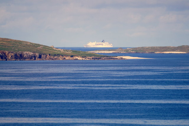
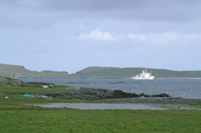
Stacks of Rumblie Geo is a prominent geological feature located on the island of Shetland, which is part of the United Kingdom. Situated off the north coast of Scotland, Shetland is known for its rugged and diverse landscape, and Stacks of Rumblie Geo is one of its notable attractions.

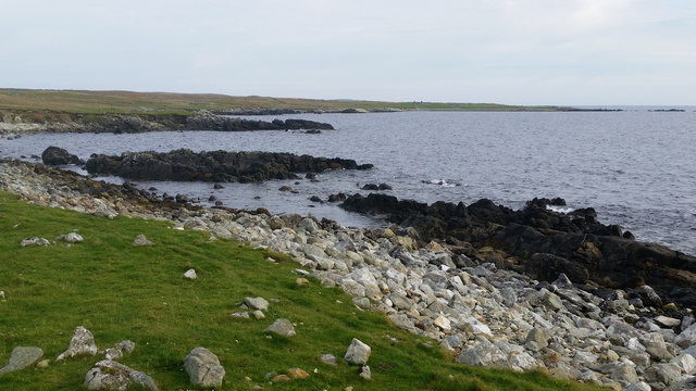
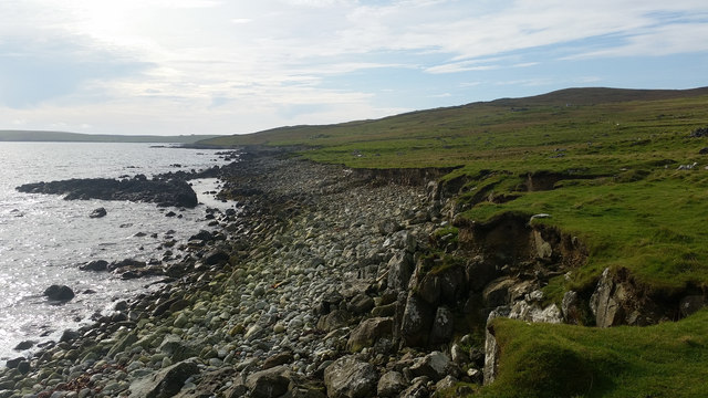
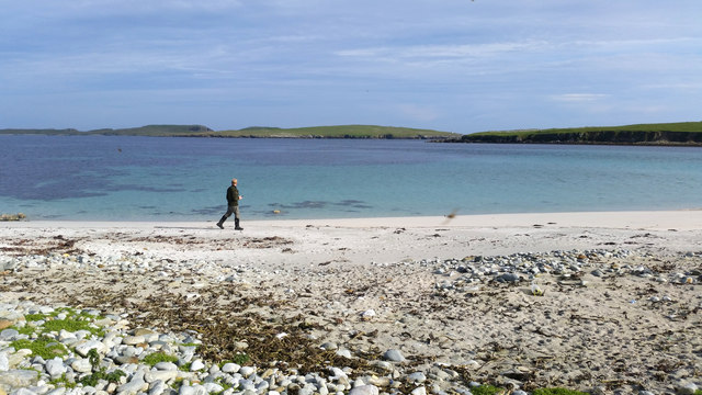
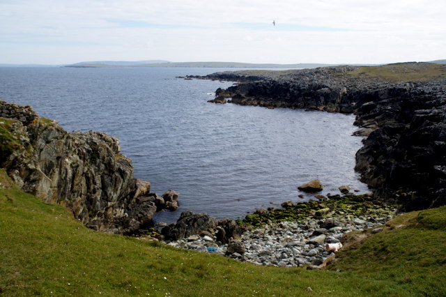
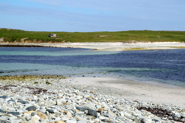
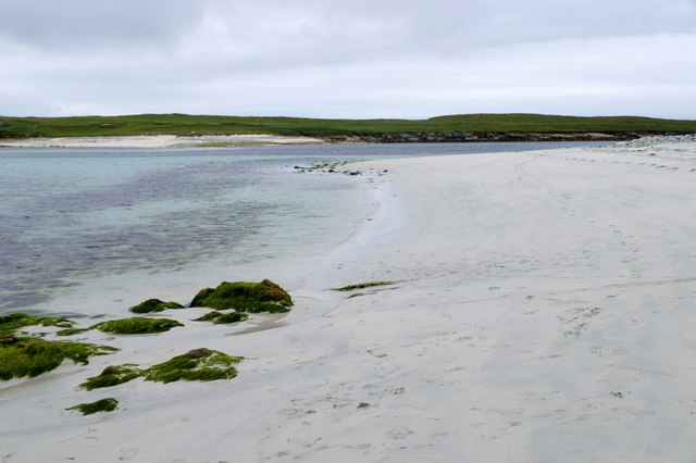
These stacks are towering rock formations that rise dramatically from the North Sea, displaying breathtaking natural beauty. The stacks are composed of layers of sedimentary rock, primarily sandstone and shale, which have been shaped by millions of years of geological processes. The erosion caused by wind, rain, and the relentless waves of the sea has sculpted the rocks into their current distinctive forms.

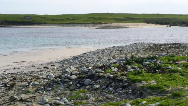
The stacks are easily visible from the coastline, and their impressive height and unique shapes create a striking contrast against the surrounding landscape. Visitors to Stacks of Rumblie Geo can witness the power of nature as the waves crash against the rocks, sometimes causing white foam to spray into the air.

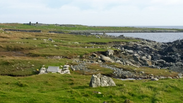
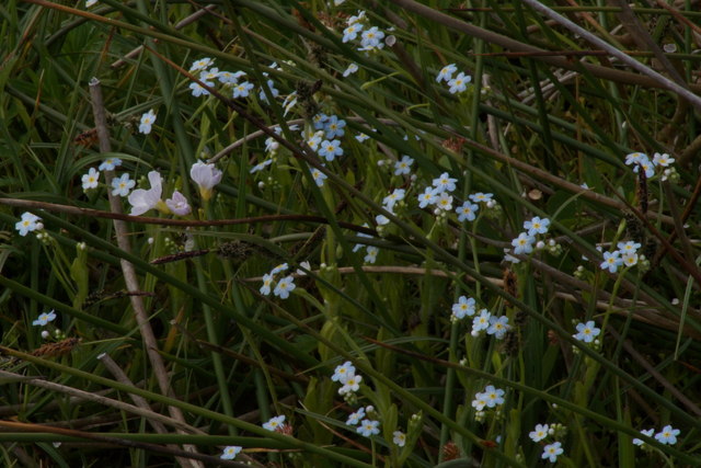
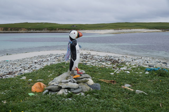
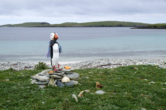
The area surrounding the stacks is also home to a rich variety of wildlife. Seabirds such as puffins, guillemots, and razorbills can be spotted nesting on the cliffs, while seals can often be seen basking on nearby rocks. The Stacks of Rumblie Geo thus offer not only a geological spectacle but also an opportunity for nature enthusiasts to observe and appreciate the diverse ecosystems of the area.

Overall, Stacks of Rumblie Geo on the island of Shetland provides an awe-inspiring glimpse into the power of natural forces, as well as a chance to immerse oneself in the beauty of the Scottish coastline.

If you have any feedback on the listing, please let us know in the comments section below.

Stacks of Rumblie Geo Images

Images are sourced within 2km of 60.723619/-0.83895593 or Grid Reference HP6305. Thanks to Geograph Open Source API. All images are credited.

Virda Field from Hill of Colvadale
Coastline at Colvadale Looking across the bay which appears to be named Houll Tafts towards the headland of Whale Back.
Coastline at Colvadale
Looking across the bay which appears to be named Houll Tafts towards the headland of Whale Back.
Coastline at Colvadale Looking south past Murra Skerry.
Coastline at Colvadale
Looking south past Murra Skerry.
Small bridge beside Ter Wick, Colvadale
The Yei, beside Huney The narrow strait separating Unst from Huney is the Yei, here at high tide.
The Yei, beside Huney
The narrow strait separating Unst from Huney is the Yei, here at high tide.
Beach at the Yei, beside Huney Looking out towards Balta.
Beach at the Yei, beside Huney
Looking out towards Balta.
Spring Squill (Scilla verna), Colvadale A common plant in coastal grassland in Shetland.
Spring Squill (Scilla verna), Colvadale
A common plant in coastal grassland in Shetland.
Water Forgetmenot (Myosotis scorpioides), Colvadale Growing with Cuckoo Flower (Cardamine pratensis).
Water Forgetmenot (Myosotis scorpioides), Colvadale
Growing with Cuckoo Flower (Cardamine pratensis).
Wall and old croft house at Colvadale
Grey Seal (Halichoreus grypus), Colvadale
Geo of Heuken, north of Colvadale
The Yei and Huney
The Yei and Huney
Unstfest Puffin beside the Yei, Huney The Unstfest Puffins made an appearance for the second successive year, encouraging people to visit various corners of Unst. This year, the Puffins were named after various islanders who appeared in the BBC series 'An Island Parish'. This is Desley.
Unstfest Puffin beside the Yei, Huney
The Unstfest Puffins made an appearance for the second successive year, encouraging people to visit various corners of Unst. This year, the Puffins were named after various islanders who appeared in the BBC series 'An Island Parish'. This is Desley.
Beach west of the Yei, Huney
Unstfest Puffin beside the Yei, Huney The Unstfest Puffins made an appearance for the second successive year, encouraging people to visit various corners of Unst. This year, the Puffins were named after various islanders who appeared in the BBC series 'An Island Parish'. This is Desley.
Unstfest Puffin beside the Yei, Huney
The Unstfest Puffins made an appearance for the second successive year, encouraging people to visit various corners of Unst. This year, the Puffins were named after various islanders who appeared in the BBC series 'An Island Parish'. This is Desley.
Clugan, Balta and the passing Norrona from Hannigarth Clugan is opposite the island of Huney. The Norrona is the Faroese ferry. With sharp eyes you can just make out Desley the Puffin at the Yei <a href="https://www.geograph.org.uk/photo/5040033">HP6406 : Unstfest Puffin beside the Yei, Huney</a>
Clugan, Balta and the passing Norrona from Hannigarth
Clugan is opposite the island of Huney. The Norrona is the Faroese ferry. With sharp eyes you can just make out Desley the Puffin at the Yei HP6406 : Unstfest Puffin beside the Yei, Huney
Small boat off Colvadale The people on board are watching Killer Whales. In the background is Colvadale, Muckle Heog and Saxa Vord.
Small boat off Colvadale
The people on board are watching Killer Whales. In the background is Colvadale, Muckle Heog and Saxa Vord.
Show me another place!

Stacks of Rumblie Geo is located at Grid Ref: HP6305 (Lat: 60.723619, Lng: -0.83895593)

Unitary Authority: Shetland Islands

Police Authority: Highlands and Islands

What 3 Words

///essays.record.squabbles. Near Baltasound, Shetland Islands

Related Wikis

Huney

Huney is an uninhabited island due east of the island of Unst in the Shetland Islands, Scotland. The island is located approximately 1 kilometre south...

Unst Airport

Unst Airport also called Baltasound Airport is an unlicensed airfield near Baltasound, on the island of Unst, Shetland Islands, Scotland. The airfield...

Balta Sound

Balta Sound is a sound (inlet) on the east coast of the island of Unst in the Shetland Islands, Scotland. The sound is sheltered from the North Sea to...

Muness Castle

Muness Castle is located on Unst, which is one of the Shetland Islands of Scotland. The castle is 3 kilometres (1.9 mi) east of the village of Uyeasound...

Unst

Unst (; Scots: Unst; Norn: Ønst) is one of the North Isles of the Shetland Islands, Scotland. It is the northernmost of the inhabited British Isles and...

1992 New Year's Day Storm

The New Year's Day Storm (Norwegian: Nyttårsorkanen), known in Scotland as the 'Hogmanay Hurricane', was an intense European windstorm that affected much...

Baltasound

Baltasound (or Baltasund) is the largest settlement on the island of Unst in Shetland, Scotland. It comes from the Old Norse man's name Balti (Baltisund...

Balta, Shetland

Balta (Scots: Balta; Old Norse: "Baltey") is an uninhabited island in Shetland, Scotland. == Geography == Balta lies off the east coast of Unst and Balta...

Have you been to Stacks of Rumblie Geo?

Leave your review of Stacks of Rumblie Geo below (or comments, questions and feedback).