Rumblie Geo
Coastal Feature, Headland, Point in Shetland
Scotland
Rumblie Geo

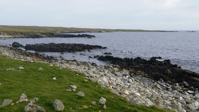
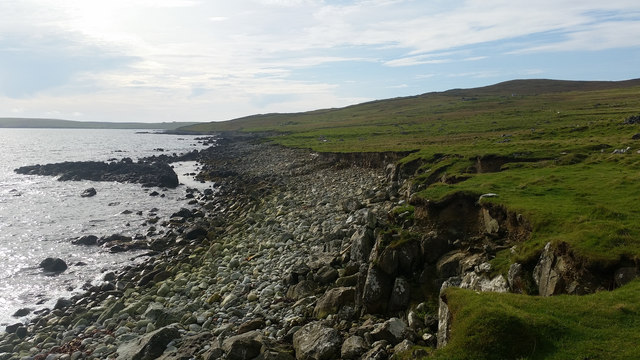
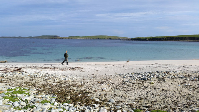
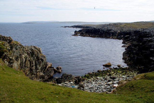
Rumblie Geo is a prominent coastal feature located on the Shetland Islands, which are part of Scotland. It is classified as a headland, also commonly referred to as a point. This coastal formation is characterized by its steep cliffs that abruptly meet the sea, creating a dramatic and rugged landscape.
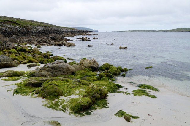
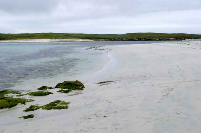
Situated on the eastern coast of Shetland, Rumblie Geo is known for its stunning natural beauty and geological significance. The headland is composed of layers of sedimentary rocks, primarily sandstone and shale, which have been shaped and sculpted by the relentless force of the ocean waves over thousands of years.
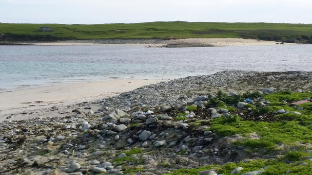
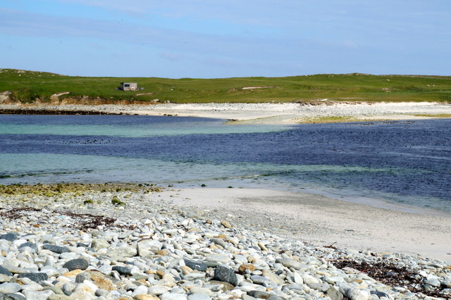
The cliffs at Rumblie Geo rise to considerable heights, offering breathtaking panoramic views of the surrounding coastline and the North Sea. The headland also features a small rocky beach at its base, which is only accessible during low tide.
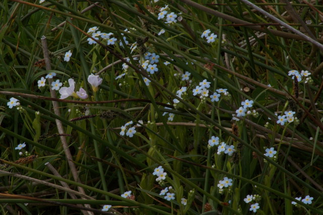
Rumblie Geo is home to a diverse range of flora and fauna, with various seabirds nesting on the cliffs, including puffins, guillemots, and fulmars. The surrounding waters are also teeming with marine life, including seals, dolphins, and occasional sightings of whales.
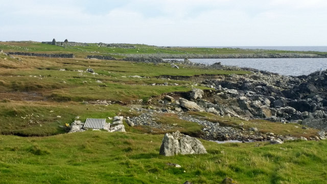
Due to its striking natural beauty and ecological importance, Rumblie Geo is a popular destination for nature enthusiasts and photographers. Visitors can explore the area by following the coastal footpath that winds along the edge of the cliffs, offering spectacular views and opportunities for wildlife spotting.
Overall, Rumblie Geo is a remarkable coastal feature that showcases the raw power of nature and provides a haven for diverse plant and animal species, making it a must-visit location for those intrigued by the wonders of the natural world.
If you have any feedback on the listing, please let us know in the comments section below.
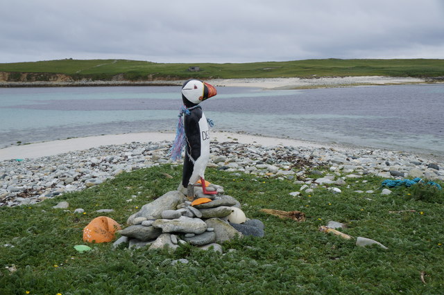
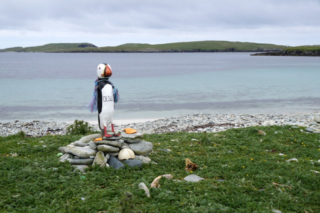
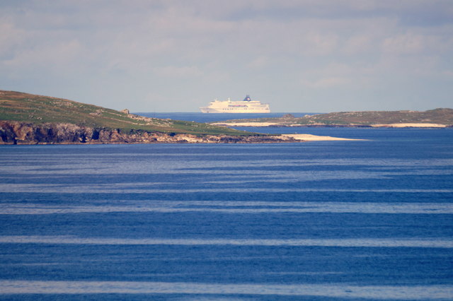
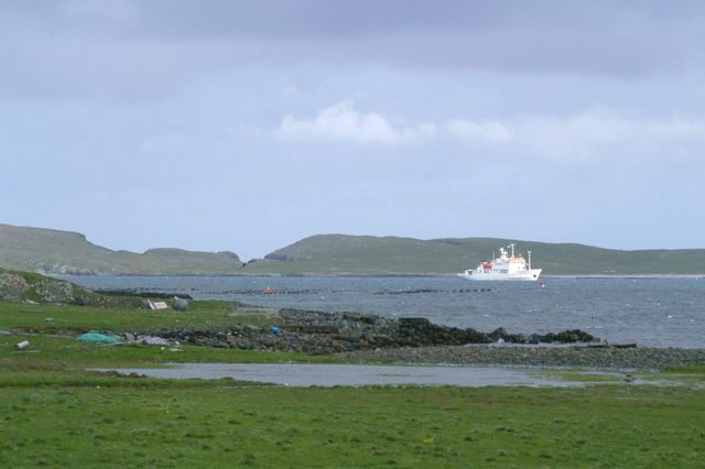
Rumblie Geo Images
Images are sourced within 2km of 60.723955/-0.83938377 or Grid Reference HP6305. Thanks to Geograph Open Source API. All images are credited.


Rumblie Geo is located at Grid Ref: HP6305 (Lat: 60.723955, Lng: -0.83938377)
Unitary Authority: Shetland Islands
Police Authority: Highlands and Islands
What 3 Words
///purses.bookmark.sniff. Near Baltasound, Shetland Islands
Related Wikis

Huney
Huney is an uninhabited island due east of the island of Unst in the Shetland Islands, Scotland. The island is located approximately 1 kilometre south...

Unst Airport
Unst Airport also called Baltasound Airport is an unlicensed airfield near Baltasound, on the island of Unst, Shetland Islands, Scotland. The airfield...
Balta Sound
Balta Sound is a sound (inlet) on the east coast of the island of Unst in the Shetland Islands, Scotland. The sound is sheltered from the North Sea to...

Muness Castle
Muness Castle is located on Unst, which is one of the Shetland Islands of Scotland. The castle is 3 kilometres (1.9 mi) east of the village of Uyeasound...

Unst
Unst (; Scots: Unst; Norn: Ønst) is one of the North Isles of the Shetland Islands, Scotland. It is the northernmost of the inhabited British Isles and...

1992 New Year's Day Storm
The New Year's Day Storm (Norwegian: Nyttårsorkanen), known in Scotland as the 'Hogmanay Hurricane', was an intense European windstorm that affected much...

Baltasound
Baltasound (or Baltasund) is the largest settlement on the island of Unst in Shetland, Scotland. It comes from the Old Norse man's name Balti (Baltisund...

Balta, Shetland
Balta (Scots: Balta; Old Norse: "Baltey") is an uninhabited island in Shetland, Scotland. == Geography == Balta lies off the east coast of Unst and Balta...
Have you been to Rumblie Geo?
Leave your review of Rumblie Geo below (or comments, questions and feedback).