Aith Skerry
Island in Shetland
Scotland
Aith Skerry
Aith Skerry is a small, uninhabited island located in the Shetland archipelago, off the northern coast of Scotland. It is situated approximately 20 kilometers west of the main island of Shetland. With an area of just 10 hectares, Aith Skerry is one of the smallest islands in Shetland.
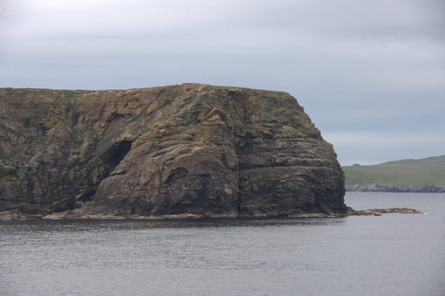
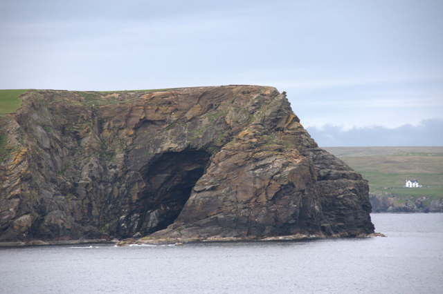
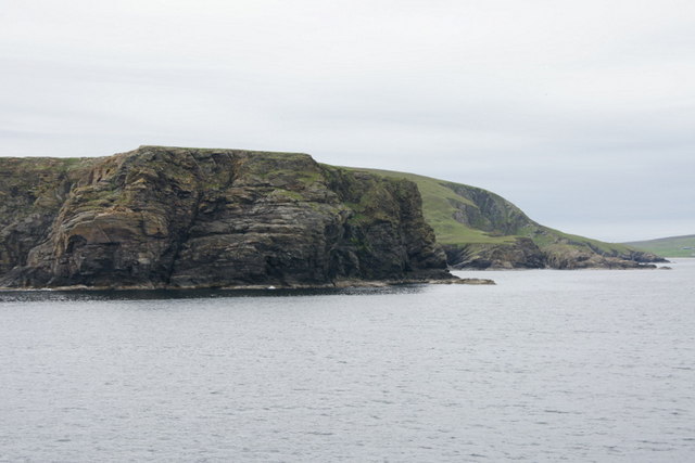
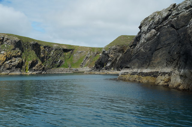
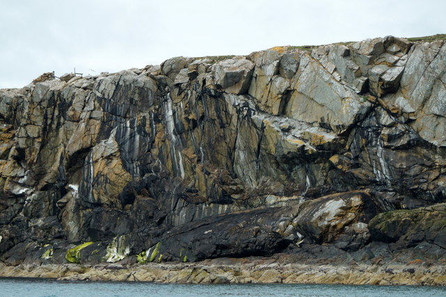
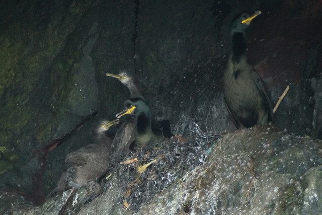
The island is mostly rocky and barren, characterized by its steep cliffs and jagged coastline. It is known for its rich birdlife, particularly the large colonies of seabirds that nest on its cliffs, including puffins, guillemots, and razorbills. These birds make Aith Skerry an important breeding ground and a popular destination for birdwatchers.
The island's name, Aith Skerry, is derived from the Old Norse words for "oyster" and "rock," reflecting the abundant oyster beds that once surrounded the area.
Due to its remote location and lack of amenities, Aith Skerry is not accessible to the public. However, it can be admired from a distance by boat or from nearby islands. Its pristine natural environment and untouched landscapes make it a picturesque sight for nature enthusiasts.
Aith Skerry, like many islands in the Shetland archipelago, has a rich history of human settlement. Archaeological evidence suggests that the island was inhabited during the Neolithic and Iron Age periods. Today, it serves as an important wildlife sanctuary and a testament to the rugged beauty of the Shetland Islands.
If you have any feedback on the listing, please let us know in the comments section below.
Aith Skerry Images
Images are sourced within 2km of 60.583578/-0.84476862 or Grid Reference HU6389. Thanks to Geograph Open Source API. All images are credited.


Aith Skerry is located at Grid Ref: HU6389 (Lat: 60.583578, Lng: -0.84476862)
Unitary Authority: Shetland Islands
Police Authority: Highlands and Islands
What 3 Words
///ruins.months.bearable. Near Houbie, Shetland Islands
Nearby Locations
Related Wikis

Fetlar
Fetlar (Scots: Fetlar) is one of the North Isles of Shetland, Scotland, with a usually resident population of 61 at the time of the 2011 census. Its main...

Haltadans
Haltadans, also known as Fairy Ring or Haltadans stone circle, is a stone circle on the island of Fetlar in Shetland, Scotland. This site is a ring of...

Funzie Girt
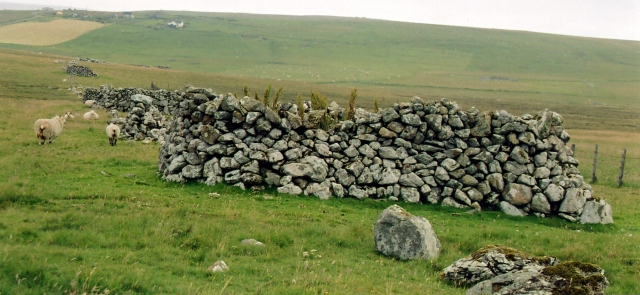
Funzie Girt (; Scots: Funyie Girt "Finns' dyke") is an ancient dividing wall that was erected from north to south across the island of Fetlar in Shetland...

Brough Lodge
Brough Lodge is a 19th-century Gothic mansion on Fetlar, one of the Shetland Islands, in northern Scotland. Built by the Nicolson family, who were responsible...

Urie Lingey
For other islands with similar names, see Linga (disambiguation) Urie Lingey is one of the Shetland Islands. It is between Fetlar and Unst, and Yell is...

Hamars Ness
Hamars Ness is a headland on the island of Fetlar in Shetland, Scotland. The name is from the Old Norse Hamarsnes meaning "craggy headland". A ro-ro ferry...

Hascosay
Hascosay (Scots: Hascosay; Old Norse "Hafskotsey") is a small island lying between Yell and Fetlar in the Shetland Islands, Scotland. == Geography and... ==

Sound Gruney
For other islands with similar names, see Gruney (disambiguation) Sound Gruney is one of the Shetland islands. It lies about 1.5 kilometres (0.93 mi)...
Nearby Amenities
Located within 500m of 60.583578,-0.84476862Have you been to Aith Skerry?
Leave your review of Aith Skerry below (or comments, questions and feedback).