Crow Geo
Coastal Feature, Headland, Point in Shetland
Scotland
Crow Geo
Crow Geo is a prominent coastal feature located in the Shetland Islands, an archipelago in Scotland. It is classified as a headland and point due to its unique geographical characteristics. The geo is situated on the mainland of Shetland, specifically on the western coast, overlooking the North Atlantic Ocean.
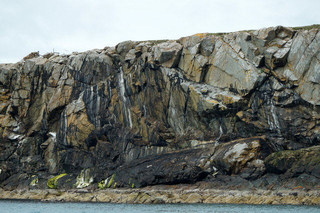
At Crow Geo, the land juts out into the sea, forming a distinct headland that provides stunning panoramic views of the surrounding coastline. The rugged cliffs that line the headland rise steeply from the ocean, reaching impressive heights. These cliffs are composed mainly of basalt, a volcanic rock that is common throughout the Shetland Islands.
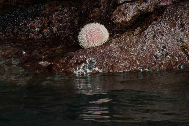
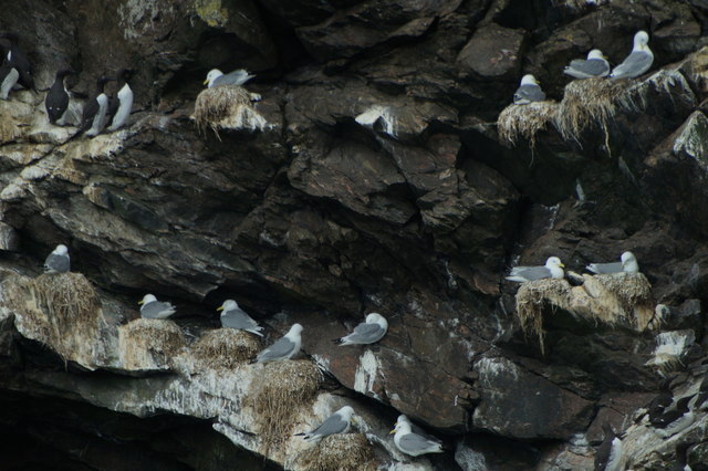
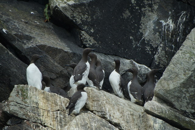
The headland is a popular spot for birdwatching, as it provides a vantage point for observing various seabird species that nest and forage in the area. The coastal waters surrounding Crow Geo are also known for their rich marine life, making it an ideal location for fishing and diving enthusiasts.
The name "Crow Geo" originates from the Old Norse word "geirr," meaning "narrow inlet." This name accurately describes the narrow cove that is formed between the headland and the adjacent landmass. The inlet is often calm, sheltered from the strong ocean currents, providing a safe haven for small boats and kayakers.
Access to Crow Geo is relatively easy, with a footpath leading from the nearest road to the headland. Visitors can enjoy leisurely walks along the cliff tops, taking in the breathtaking scenery and enjoying the peaceful ambiance of this coastal gem.
If you have any feedback on the listing, please let us know in the comments section below.
Crow Geo Images
Images are sourced within 2km of 60.586337/-0.85034697 or Grid Reference HU6389. Thanks to Geograph Open Source API. All images are credited.


Crow Geo is located at Grid Ref: HU6389 (Lat: 60.586337, Lng: -0.85034697)
Unitary Authority: Shetland Islands
Police Authority: Highlands and Islands
What 3 Words
///crumples.loans.tins. Near Houbie, Shetland Islands
Nearby Locations
Related Wikis

Fetlar
Fetlar (Scots: Fetlar) is one of the North Isles of Shetland, Scotland, with a usually resident population of 61 at the time of the 2011 census. Its main...

Haltadans
Haltadans, also known as Fairy Ring or Haltadans stone circle, is a stone circle on the island of Fetlar in Shetland, Scotland. This site is a ring of...

Funzie Girt
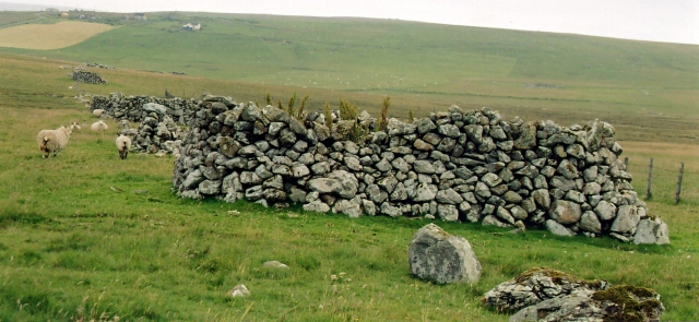
Funzie Girt (; Scots: Funyie Girt "Finns' dyke") is an ancient dividing wall that was erected from north to south across the island of Fetlar in Shetland...

Brough Lodge
Brough Lodge is a 19th-century Gothic mansion on Fetlar, one of the Shetland Islands, in northern Scotland. Built by the Nicolson family, who were responsible...

Urie Lingey
For other islands with similar names, see Linga (disambiguation) Urie Lingey is one of the Shetland Islands. It is between Fetlar and Unst, and Yell is...

Hamars Ness
Hamars Ness is a headland on the island of Fetlar in Shetland, Scotland. The name is from the Old Norse Hamarsnes meaning "craggy headland". A ro-ro ferry...

Hascosay
Hascosay (Scots: Hascosay; Old Norse "Hafskotsey") is a small island lying between Yell and Fetlar in the Shetland Islands, Scotland. == Geography and... ==

Sound Gruney
For other islands with similar names, see Gruney (disambiguation) Sound Gruney is one of the Shetland islands. It lies about 1.5 kilometres (0.93 mi)...
Nearby Amenities
Located within 500m of 60.586337,-0.85034697Have you been to Crow Geo?
Leave your review of Crow Geo below (or comments, questions and feedback).