Keen
Island in Shetland
Scotland
Keen

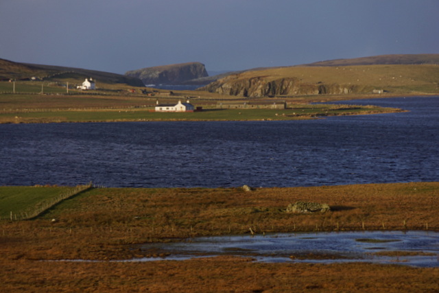
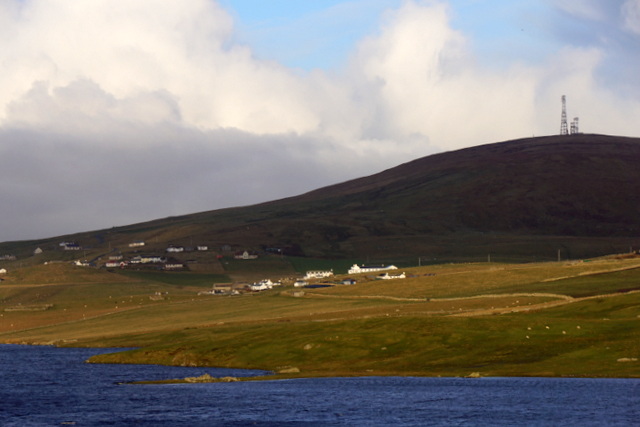
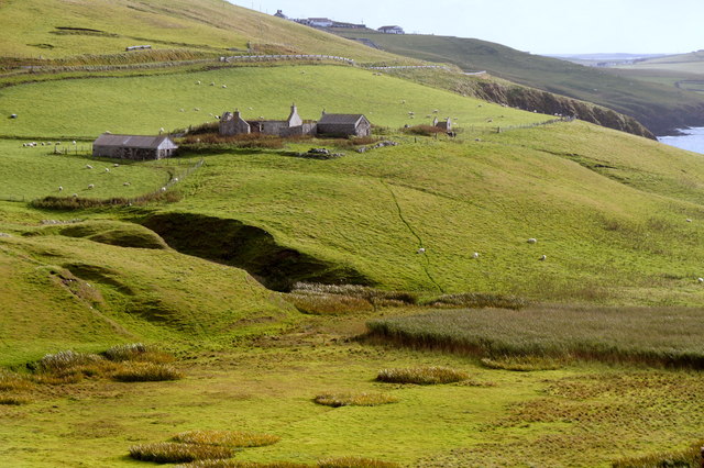
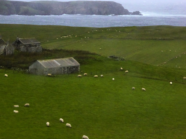
Keen is a small settlement located on the island of Shetland, an archipelago off the northeastern coast of Scotland. Situated on the south side of the island, Keen is surrounded by picturesque landscapes and stunning coastal views. With a population of around 100 people, it is a close-knit community that reflects the peaceful and tranquil atmosphere of the area.
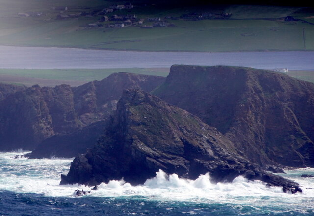
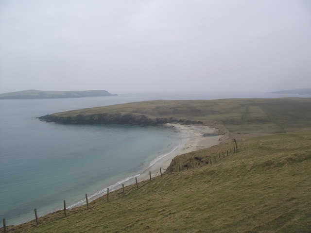
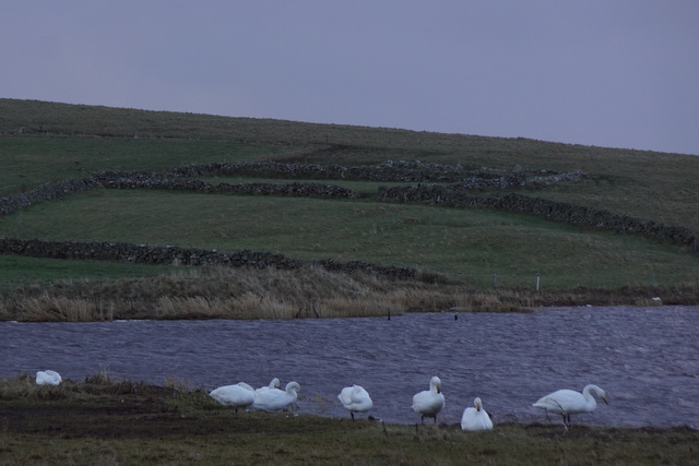
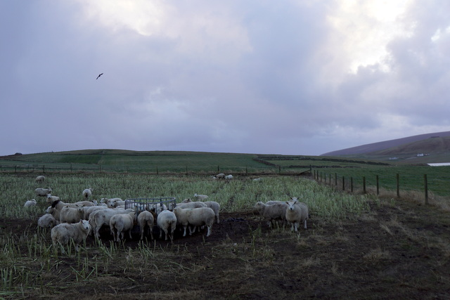
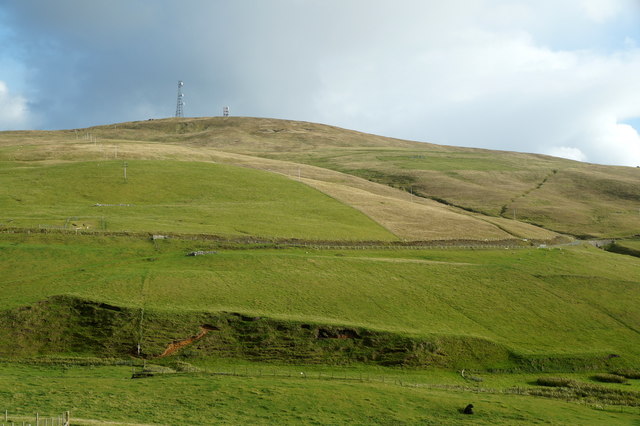
The settlement of Keen offers visitors a glimpse into the natural beauty of Shetland. The area is known for its rugged cliffs, sandy beaches, and clear blue waters. Nature enthusiasts can enjoy a variety of outdoor activities, including birdwatching, hiking, and fishing. The surrounding waters are also ideal for kayaking and sailing.
Keen is home to a few traditional, charming houses, which are perfect for those looking for a quiet getaway. The island's slower pace of life and friendly locals make it an inviting place to unwind and reconnect with nature. The settlement has a small shop that provides basic amenities for both locals and visitors.
One of the main attractions near Keen is the Keen of Hamar National Nature Reserve, located just a short distance away. This unique reserve features a stunning landscape of rocky outcrops and wildflowers, providing a habitat for a variety of plant and bird species. The reserve is popular among nature enthusiasts and offers breathtaking views of the surrounding area.
In summary, Keen on the island of Shetland is a charming and peaceful settlement that offers visitors an opportunity to experience the natural beauty and tranquility of the area. With its stunning landscapes, outdoor activities, and friendly community, Keen is a hidden gem waiting to be discovered.
If you have any feedback on the listing, please let us know in the comments section below.
Keen Images
Images are sourced within 2km of 59.943854/-1.3483131 or Grid Reference HU3617. Thanks to Geograph Open Source API. All images are credited.


Keen is located at Grid Ref: HU3617 (Lat: 59.943854, Lng: -1.3483131)
Unitary Authority: Shetland Islands
Police Authority: Highlands and Islands
What 3 Words
///amid.maple.dignify. Near Sandwick, Shetland Islands
Nearby Locations
Related Wikis

Colsay
Colsay is an uninhabited island off the South West coast of Mainland, Shetland. Fora Ness lies to the south, across the Muckle Sound. The highest elevation...

Scousburgh
Scousburgh is a small community in the parish of Dunrossness, in the South Mainland of Shetland, Scotland, overlooking the picturesque Scousburgh Sand...

Lochs of Spiggie and Brow
The Lochs of Spiggie and Brow are located west of Boddam in the parish of Dunrossness, in the South Mainland of Shetland, Scotland, about 6 km north of...

Dunrossness
Dunrossness, (Old Norse: Dynrastarnes meaning "headland of the loud tide-race", referring to the noise of Sumburgh Roost) is the southernmost parish of...
Nearby Amenities
Located within 500m of 59.943854,-1.3483131Have you been to Keen?
Leave your review of Keen below (or comments, questions and feedback).