Stack of Barefield
Island in Shetland
Scotland
Stack of Barefield
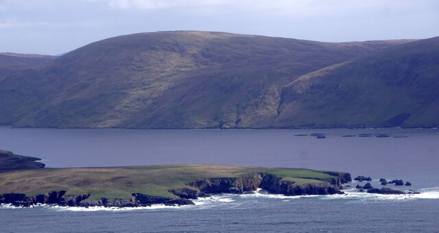
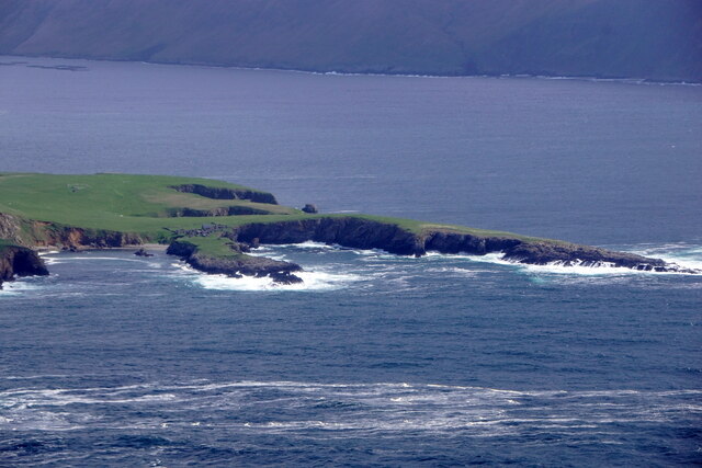
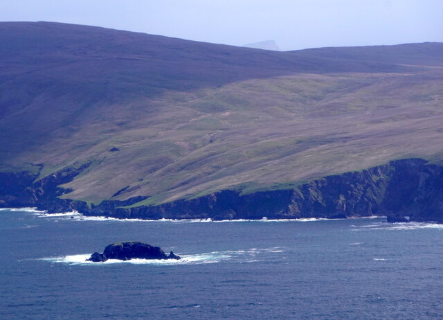
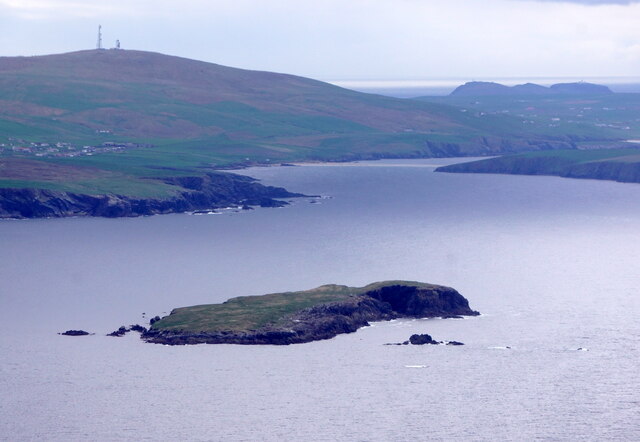
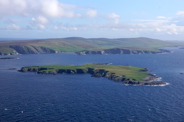
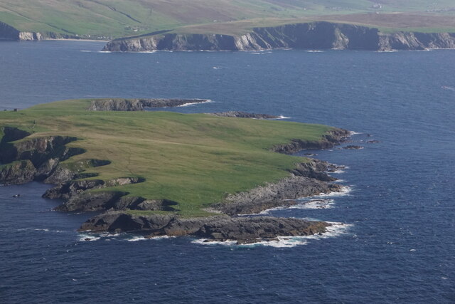
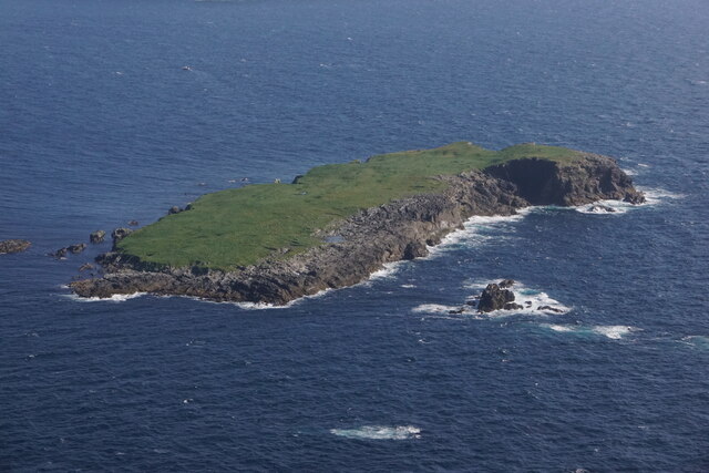
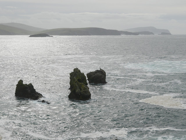
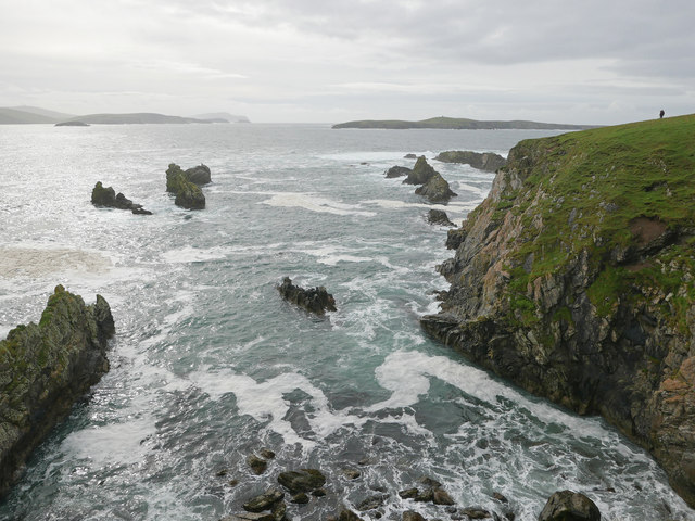
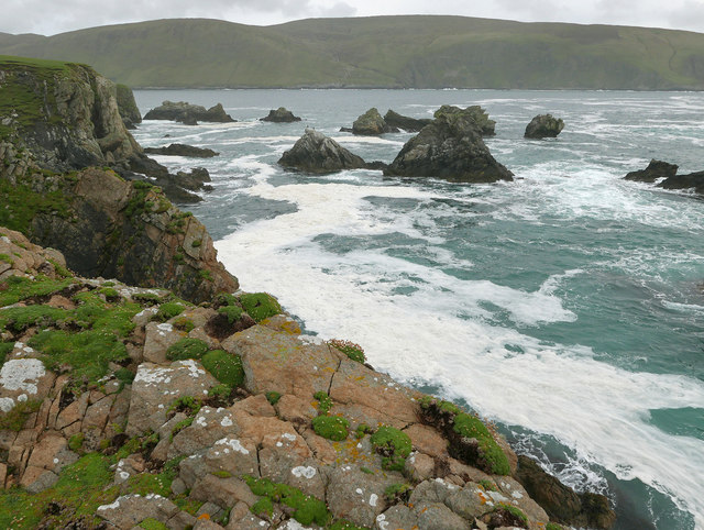
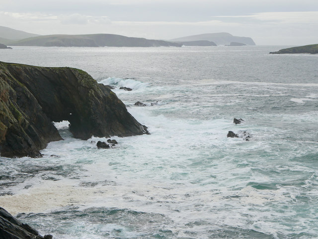
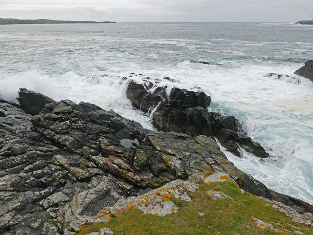
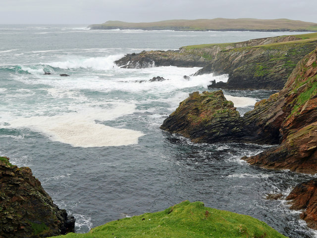
Stack of Barefield is a prominent and picturesque sea stack located in the Shetland Islands, situated off the northeast coast of Scotland. Rising dramatically out of the North Sea, this natural wonder is a breathtaking sight to behold.
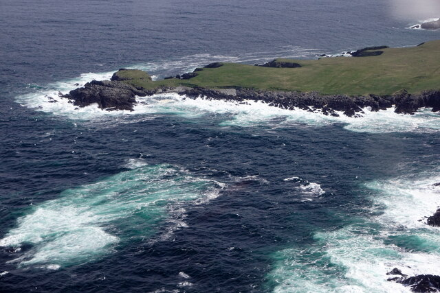
Measuring approximately 60 meters in height, the stack is composed of rugged and weather-beaten rock formations. Its distinct shape, with steep and sheer sides, has been sculpted over centuries by the relentless forces of wind and water. The stack is surrounded by turbulent waters, further adding to its dramatic allure.
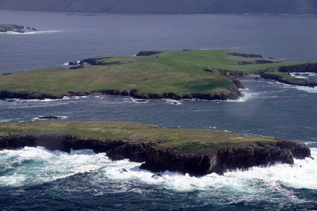
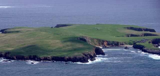
Stack of Barefield is a popular destination for nature enthusiasts, rock climbers, and photographers alike. Its remote location and challenging terrain make it a thrilling adventure for those seeking a unique experience. The views from the top of the stack are nothing short of spectacular, offering panoramic vistas of the surrounding coastline and the vast expanse of the North Sea.
The stack is also a haven for various seabird species, including puffins, razorbills, and guillemots. These birds nest on the steep cliffs and provide a captivating spectacle during the breeding season. Visitors can observe these magnificent creatures in their natural habitat, making Stack of Barefield a significant site for ornithological studies and birdwatching enthusiasts.
While the stack is an awe-inspiring natural landmark, it is important to note that access can be challenging and potentially dangerous. The rough seas and strong currents make it necessary for visitors to exercise caution and adhere to safety guidelines. Additionally, the stack is located within a protected nature reserve, ensuring the preservation of its unique ecosystem for generations to come.
If you have any feedback on the listing, please let us know in the comments section below.
Stack of Barefield Images
Images are sourced within 2km of 60.024673/-1.3474409 or Grid Reference HU3626. Thanks to Geograph Open Source API. All images are credited.


Stack of Barefield is located at Grid Ref: HU3626 (Lat: 60.024673, Lng: -1.3474409)
Unitary Authority: Shetland Islands
Police Authority: Highlands and Islands
What 3 Words
///comedy.disengage.fries. Near Sandwick, Shetland Islands
Nearby Locations
Related Wikis

South Havra
South Havra (Scots: Sooth Haevra; Old Norse: Hafrey), formerly Hevera, is an uninhabited island in the Scalloway Islands, Shetland, Scotland. == Geography... ==

Little Havra
Little Havra is a small island off the west of South Mainland in Shetland. It is 35 metres (115 ft) at its highest point, upon which there is a cairn....

West Burra
West Burra is one of the Scalloway Islands, a subgroup of the Shetland Islands in Scotland. It is connected by bridge to East Burra. With an area of 743...

Burra, Shetland
Burra (Old Norse: Barrey ) is the collective name for two of the Shetland Islands, West (pop. 753) and East Burra (pop. 66), which are connected by bridge...

Bigton
Bigton is a small settlement on South Mainland, Shetland, UK. Bigton is within the civil parish of Dunrossness.Bigton lies on the Atlantic coast of the...
St Ninian's Isle
St Ninian's Isle is a small tied island connected by the largest tombolo in the UK to the south-western coast of the Mainland, Shetland, in Scotland. It...

Hoswick
Hoswick is a settlement in Sandwick in the south mainland of Shetland, Scotland, on the eastern part of the Dunrossness civil parish. It is separated from...

Catpund
Catpund is a quarry site in Shetland, Scotland, where steatite vessels were cut from the rock from prehistory onwards. The quarrying marks are still visible...
Nearby Amenities
Located within 500m of 60.024673,-1.3474409Have you been to Stack of Barefield?
Leave your review of Stack of Barefield below (or comments, questions and feedback).