Beach of Spiggie
Beach in Shetland
Scotland
Beach of Spiggie

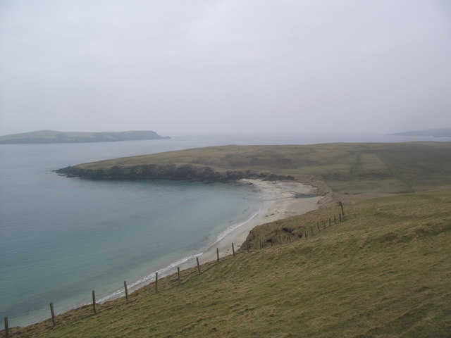
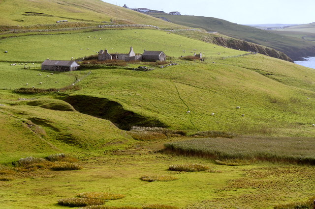
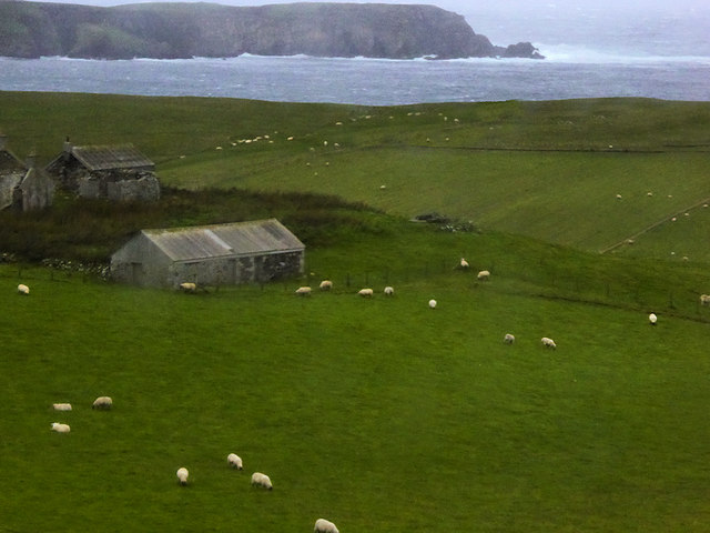
The Beach of Spiggie is a picturesque coastal gem located in the Shetland Islands, Scotland. This stunning beach is situated on the east coast of the South Mainland, approximately 15 miles south of Lerwick, the capital of Shetland.
With its sweeping sandy shores and crystal-clear turquoise waters, the Beach of Spiggie offers a peaceful and idyllic setting for visitors. The beach stretches for about a mile, providing ample space for beachgoers to relax, take leisurely walks, or engage in various water activities.
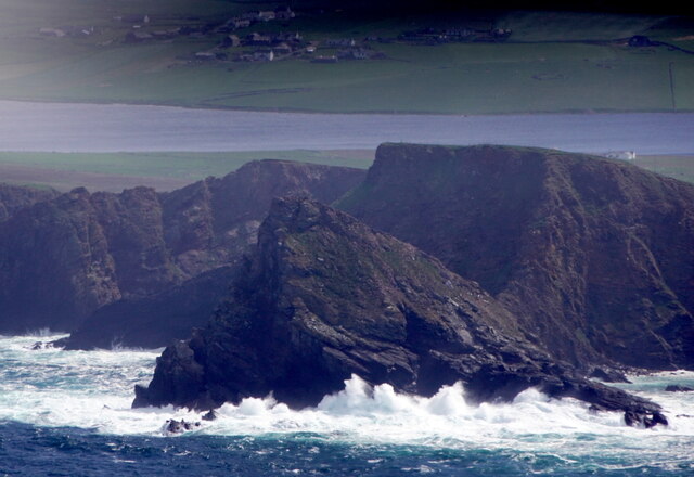
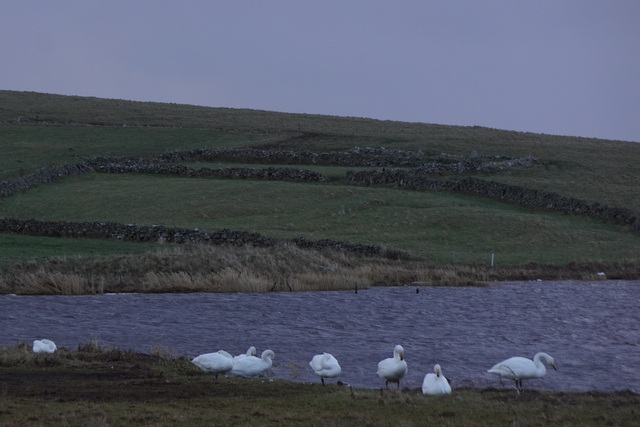
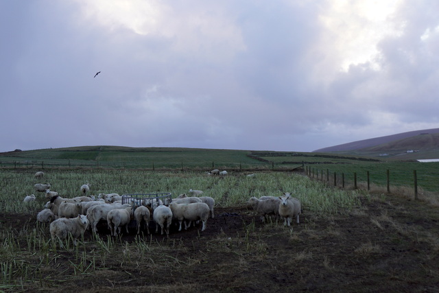
The beach is backed by rolling sand dunes, which not only enhance its natural beauty but also provide a habitat for a diverse range of flora and fauna. Nature enthusiasts can spot various bird species, including terns and oystercatchers, along the shoreline. Seals can sometimes be seen basking on the nearby rocks, adding to the wildlife spectacle.
The Beach of Spiggie is a popular spot for water sports enthusiasts, offering opportunities for kayaking, windsurfing, and paddleboarding. The calm and sheltered bay provides a safe environment for both beginners and experienced water sports enthusiasts.
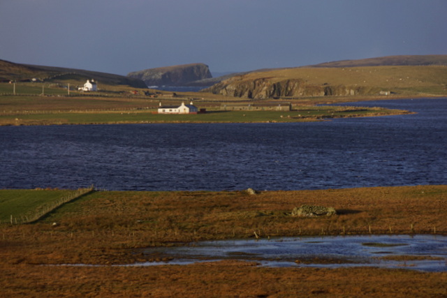
Facilities at the beach include a car park, toilet facilities, and picnic areas, making it a convenient destination for a day trip. Visitors can also explore the nearby Spiggie Loch, a freshwater loch known for its abundant birdlife and fishing opportunities.
Overall, the Beach of Spiggie is a tranquil and scenic destination, perfect for those seeking a peaceful escape amidst nature's beauty.
If you have any feedback on the listing, please let us know in the comments section below.
Beach of Spiggie Images
Images are sourced within 2km of 59.942857/-1.3445563 or Grid Reference HU3617. Thanks to Geograph Open Source API. All images are credited.


Beach of Spiggie is located at Grid Ref: HU3617 (Lat: 59.942857, Lng: -1.3445563)
Unitary Authority: Shetland Islands
Police Authority: Highlands and Islands
What 3 Words
///shaky.panicking.gobbles. Near Sandwick, Shetland Islands
Related Wikis

Scousburgh
Scousburgh is a small community in the parish of Dunrossness, in the South Mainland of Shetland, Scotland, overlooking the picturesque Scousburgh Sand...

Colsay
Colsay is an uninhabited island off the South West coast of Mainland, Shetland. Fora Ness lies to the south, across the Muckle Sound. The highest elevation...

Lochs of Spiggie and Brow
The Lochs of Spiggie and Brow are located west of Boddam in the parish of Dunrossness, in the South Mainland of Shetland, Scotland, about 6 km north of...

Dunrossness
Dunrossness, (Old Norse: Dynrastarnes meaning "headland of the loud tide-race", referring to the noise of Sumburgh Roost) is the southernmost parish of...

St Ninian's Isle
St Ninian's Isle is a small tied island connected by the largest tombolo in the UK to the south-western coast of the Mainland, Shetland, in Scotland. It...

Boddam, Shetland
Boddam is a village on the island of Mainland, in Shetland, Scotland. Boddam is an area of Dunrossness in the South Mainland of Shetland. Although Boddam...

Bigton
Bigton is a small settlement on South Mainland, Shetland, UK. Bigton is within the civil parish of Dunrossness.Bigton lies on the Atlantic coast of the...

Clumlie Broch
Clumlie Broch is an Iron Age broch located on Mainland, Shetland, in Scotland (grid reference HU40451811). == Location == Clumlie Broch is located in Dunrossness...
Nearby Amenities
Located within 500m of 59.942857,-1.3445563Have you been to Beach of Spiggie?
Leave your review of Beach of Spiggie below (or comments, questions and feedback).