Val Ayre

Beach in Shetland

Scotland

Val Ayre

Brae in the snow
Brae in the snow Credit: Mike Pennington

Val Ayre is a picturesque beach located on the island of Shetland, off the northeastern coast of Scotland. With its stunning natural beauty and tranquil atmosphere, this beach is a popular destination for both locals and tourists.

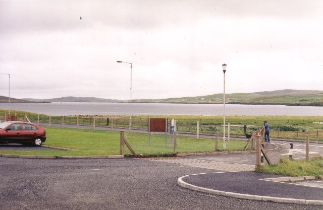
Stretching over a kilometer in length, Val Ayre offers visitors a vast expanse of golden sand bordered by crystal-clear waters. The beach is nestled within a sheltered bay, providing a calm and inviting environment for swimming, sunbathing, and various water activities.

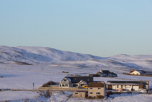
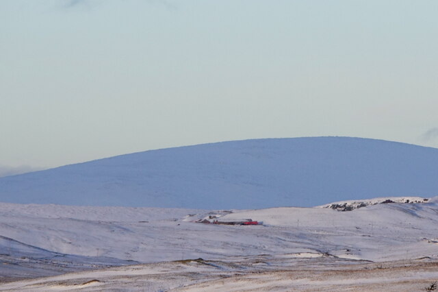
The beach is surrounded by rolling sand dunes and grassy hills, creating a unique and visually striking landscape. These dunes also serve as a natural barrier, protecting the beach from strong winds and providing a sense of seclusion and privacy.

Val Ayre is known for its abundant wildlife and rich biodiversity. Birdwatchers flock to the area to catch a glimpse of various species, including puffins, guillemots, and Arctic terns. Seals are also a common sight, often seen basking on the nearby rocks.

Facilities at Val Ayre include ample parking, public toilets, and picnic areas, making it an ideal spot for a day trip or a family outing. The beach is easily accessible by car or public transport, with regular bus services running from nearby towns.

Whether you are seeking a peaceful retreat or an opportunity to explore the Shetland Islands' natural wonders, Val Ayre is a must-visit destination. Its pristine sands, breathtaking scenery, and abundant wildlife make it an unforgettable beach experience.

If you have any feedback on the listing, please let us know in the comments section below.
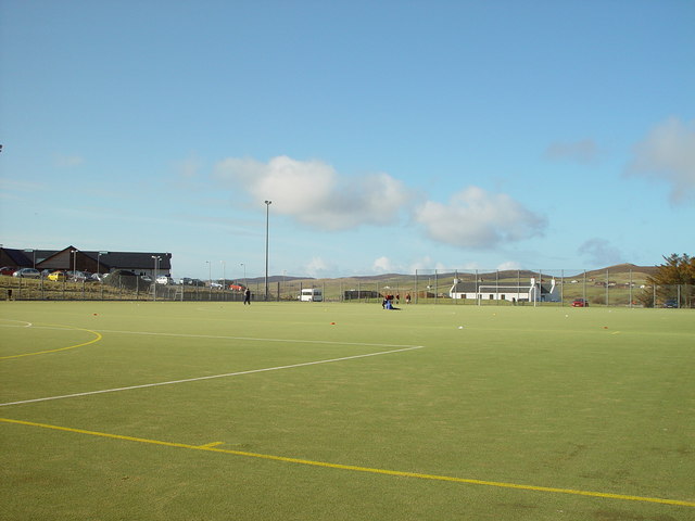
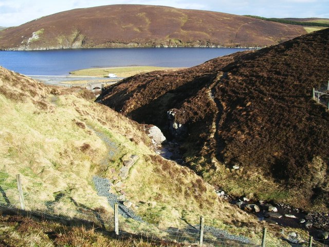
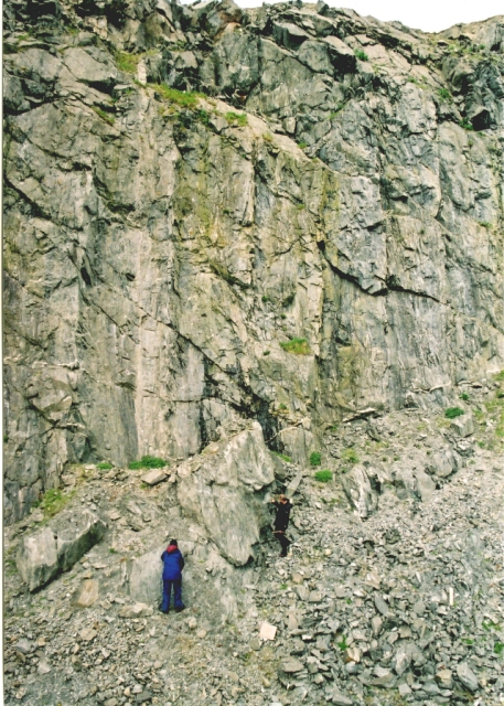
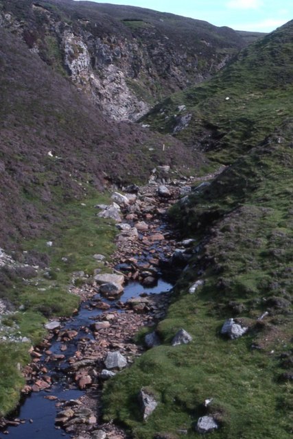
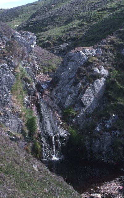
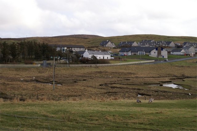
Val Ayre Images

Images are sourced within 2km of 60.409181/-1.3348944 or Grid Reference HU3669. Thanks to Geograph Open Source API. All images are credited.

Brae in the snow
Brae in the snow
Brae in the snow
Brae in the snow
View to Ronas Hill in the snow from Brae
Brae Community Woodland
Loch of Trondavoe, early evening late autumn light
Bus Stop at Trondavoe The B9076 is a link road towards the northern end of Shetland Mainland. It links the A970 at Brae with the A968 near Mossbank. The primarily serves the Sullom Voe oil terminal and also passes the Scatsta Airfield. It is a good quality road which has benefited from the “oil boom” in the 1970s and 80s, being upgraded to serve the oil terminal (which was built between 1975 and 1981) and former alignments can often be seen alongside the current road.
Bus Stop at Trondavoe
The B9076 is a link road towards the northern end of Shetland Mainland. It links the A970 at Brae with the A968 near Mossbank. The primarily serves the Sullom Voe oil terminal and also passes the Scatsta Airfield. It is a good quality road which has benefited from the “oil boom” in the 1970s and 80s, being upgraded to serve the oil terminal (which was built between 1975 and 1981) and former alignments can often be seen alongside the current road.
Farm near Trondavoe
Farm near Trondavoe
B9076 near Trondavoe The B9076 is a link road towards the northern end of Shetland Mainland. It links the A970 at Brae with the A968 near Mossbank. The primarily serves the Sullom Voe oil terminal and also passes the Scatsta Airfield. It is a good quality road which has benefited from the “oil boom” in the 1970s and 80s, being upgraded to serve the oil terminal (which was built between 1975 and 1981) and former alignments can often be seen alongside the current road.
B9076 near Trondavoe
The B9076 is a link road towards the northern end of Shetland Mainland. It links the A970 at Brae with the A968 near Mossbank. The primarily serves the Sullom Voe oil terminal and also passes the Scatsta Airfield. It is a good quality road which has benefited from the “oil boom” in the 1970s and 80s, being upgraded to serve the oil terminal (which was built between 1975 and 1981) and former alignments can often be seen alongside the current road.
Loch of Trondavoe
Loch of Trondavoe
Access Gate near Scatsta The B9076 is a link road towards the northern end of Shetland Mainland. It links the A970 at Brae with the A968 near Mossbank. The primarily serves the Sullom Voe oil terminal and also passes the Scatsta Airfield. It is a good quality road which has benefited from the “oil boom” in the 1970s and 80s, being upgraded to serve the oil terminal (which was built between 1975 and 1981) and former alignments can often be seen alongside the current road.
Access Gate near Scatsta
The B9076 is a link road towards the northern end of Shetland Mainland. It links the A970 at Brae with the A968 near Mossbank. The primarily serves the Sullom Voe oil terminal and also passes the Scatsta Airfield. It is a good quality road which has benefited from the “oil boom” in the 1970s and 80s, being upgraded to serve the oil terminal (which was built between 1975 and 1981) and former alignments can often be seen alongside the current road.
View from Brae Junior High school across Busta Voe View from Brae Junior High school car park across Busta Voe to the Ward of Runafirth and Muckle Roe on the right with the tip of Hevden Ness on the left above the red car.
View from Brae Junior High school across Busta Voe
View from Brae Junior High school car park across Busta Voe to the Ward of Runafirth and Muckle Roe on the right with the tip of Hevden Ness on the left above the red car.
Astroturf Sports Pitch, Brae, Shetland At Midway, Brae, the first synthetic all weather pitch constructed in Shetland. in the background on the left is the Brae Health Centre with the Mid Brae Inn just right of centre in the background.
Astroturf Sports Pitch, Brae, Shetland
At Midway, Brae, the first synthetic all weather pitch constructed in Shetland. in the background on the left is the Brae Health Centre with the Mid Brae Inn just right of centre in the background.
Burn of Valayre, Shetland Photo taken looking northwest down the gorge towards the waters of Voxter Voe
Burn of Valayre, Shetland
Photo taken looking northwest down the gorge towards the waters of Voxter Voe
Valayre Quarry The quarry takes its name from the adjacent burn, and contains an outcrop of the Valayre gneiss. This curious rock can be traced intermittently for 75 km through Mainland and the island of Yell. See also <a href="https://www.geograph.org.uk/gridref/HU5070">HU5070</a>.
Valayre Quarry
The quarry takes its name from the adjacent burn, and contains an outcrop of the Valayre gneiss. This curious rock can be traced intermittently for 75 km through Mainland and the island of Yell. See also HU5070.
Burn of Valayre
Burn of Valayre
Burn of Valayre Not the most impressive waterfall ever!
Burn of Valayre
Not the most impressive waterfall ever!
Brae The small area of saltmarsh at the head of Busta Voe, with the Mid Brae Inn behind.
Brae
The small area of saltmarsh at the head of Busta Voe, with the Mid Brae Inn behind.
Brae Astroturf Pitch
Show me another place!

Val Ayre is located at Grid Ref: HU3669 (Lat: 60.409181, Lng: -1.3348944)

Unitary Authority: Shetland Islands

Police Authority: Highlands and Islands

What 3 Words

///finger.imprinted.drives. Near Brae, Shetland Islands

Nearby Locations

Val Ayre Voxter Voe

Related Wikis

Brae

"Brae" is also the Lowland Scots language word for the slope or brow of a hill.Brae (Old Norse: Breiðeið, meaning "the wide isthmus") is a village on the...

Delting

Delting is a civil parish and community council area on Mainland, Shetland, Scotland. It includes the Sullom Voe oil terminal and its main settlements...

Busta Voe

Busta Voe, (HU665350), in the north central Mainland, Shetland, is a sea inlet lying between the village of Brae and the island of Muckle Roe. At the head...

Mavis Grind

Mavis Grind (Old Norse: Mæfeiðs grind or Mæveiðs grind, meaning "gate of the narrow isthmus") is a narrow isthmus joining the Northmavine peninsula to...
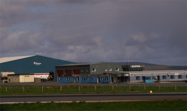
Scatsta Airport

Scatsta Airport (IATA: SCS, ICAO: EGPM), was a commercial airport on the island of Mainland, Shetland in Scotland located 17 nautical miles (31 km; 20...

Sullom

Sullom is a village on the Shetland peninsula of Northmavine, between Haggrister and Bardister. It lies on the northwest side of Sullom Voe, to which it...

North Mainland

The North Mainland of the Shetland Islands, Scotland is the part of the Mainland lying north of Voe (60° 21′N). == Geography == Notable places in North...

Sullom Voe

Sullom Voe is an inlet of the North Sea between the parishes of Delting and Northmavine in Shetland, Scotland. It is a location of the Sullom Voe oil terminal...

Nearby Amenities

Located within 500m of 60.409181,-1.3348944
Barrier: stile
Lat/Long: 60.4111356/-1.3267998
Power: pole
Lat/Long: 60.4080938/-1.3276774
Power: pole
Lat/Long: 60.4078634/-1.3288093
Power: pole
Lat/Long: 60.4076011/-1.3303542
Power: pole
Lat/Long: 60.4073653/-1.3316202
Power: pole
Lat/Long: 60.4071507/-1.3328058
Power: pole
Lat/Long: 60.4068302/-1.3345224
Power: pole
Lat/Long: 60.4066077/-1.3358635
Power: pole
Lat/Long: 60.4063613/-1.3371778
Power: pole
Lat/Long: 60.4060911/-1.3387388
Power: pole
Lat/Long: 60.4058897/-1.3398868
Power: pole
Lat/Long: 60.4093248/-1.327673
Power: pole
Lat/Long: 60.4094735/-1.3273743
Power: pole
Lat/Long: 60.4096259/-1.3270512
Power: pole
Lat/Long: 60.4099849/-1.328099
The data included in this document is from www.openstreetmap.org. The data is made available under ODbL.

Have you been to Val Ayre?

Leave your review of Val Ayre below (or comments, questions and feedback).