Lauries Steps
Coastal Feature, Headland, Point in Shetland
Scotland
Lauries Steps

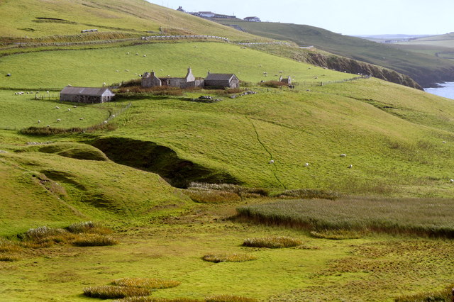
Lauries Steps is a prominent coastal feature located on the Shetland Islands, situated off the north-east coast of Scotland. It is specifically found on the eastern side of the island of Mainland, near the village of Cunningsburgh.
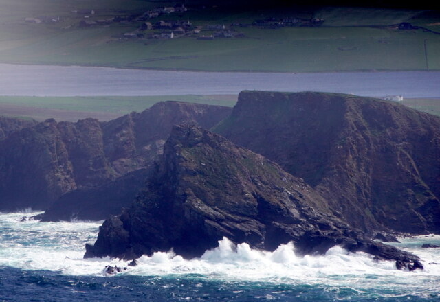
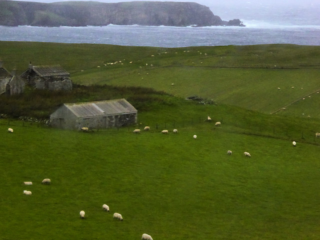
Lauries Steps is a headland that extends into the North Sea, forming a distinctive point along the rugged coastline of Shetland. The name "Lauries Steps" is derived from the presence of a series of natural stone steps that descend from the top of the headland to the water's edge. These steps are believed to have been carved by the erosive forces of the sea over thousands of years.
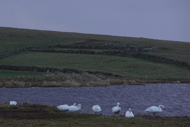
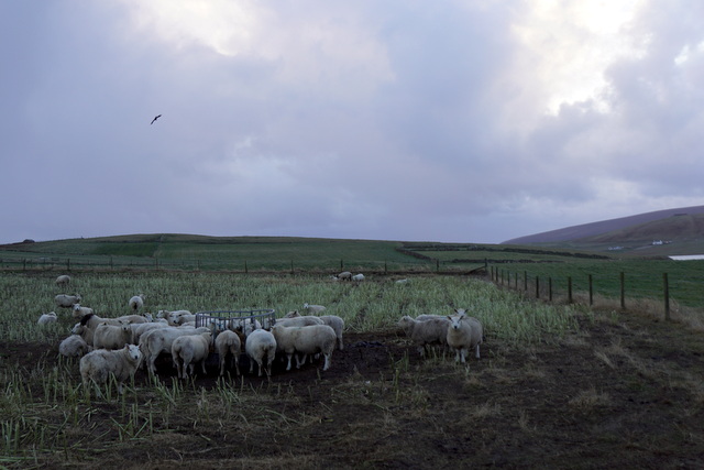
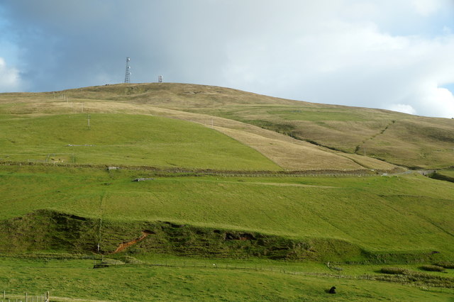
The headland itself is characterized by its steep cliffs, which provide a stunning panoramic view of the surrounding seascape. The rugged landscape and dramatic cliffs make it a popular spot for photographers, hikers, and nature enthusiasts. From the top of Lauries Steps, visitors can often catch sight of various seabirds, such as puffins, fulmars, and guillemots, as well as seals and occasionally whales.
Access to Lauries Steps is relatively easy, with a small parking area located nearby for visitors. From there, a well-defined path leads to the headland, where the stone steps can be descended. However, caution is advised when navigating the steps, as they can be slippery, especially during wet weather.
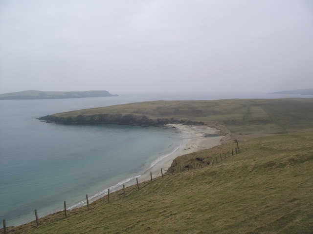
Lauries Steps is a captivating coastal feature on the Shetland Islands, offering visitors a chance to experience the raw beauty and power of the North Sea while immersing themselves in the unique natural environment of this remote and picturesque region.
If you have any feedback on the listing, please let us know in the comments section below.
Lauries Steps Images
Images are sourced within 2km of 59.943537/-1.3476392 or Grid Reference HU3617. Thanks to Geograph Open Source API. All images are credited.


Lauries Steps is located at Grid Ref: HU3617 (Lat: 59.943537, Lng: -1.3476392)
Unitary Authority: Shetland Islands
Police Authority: Highlands and Islands
What 3 Words
///swelling.household.feelers. Near Sandwick, Shetland Islands
Nearby Locations
Related Wikis

Colsay
Colsay is an uninhabited island off the South West coast of Mainland, Shetland. Fora Ness lies to the south, across the Muckle Sound. The highest elevation...

Scousburgh
Scousburgh is a small community in the parish of Dunrossness, in the South Mainland of Shetland, Scotland, overlooking the picturesque Scousburgh Sand...

Lochs of Spiggie and Brow
The Lochs of Spiggie and Brow are located west of Boddam in the parish of Dunrossness, in the South Mainland of Shetland, Scotland, about 6 km north of...

Dunrossness
Dunrossness, (Old Norse: Dynrastarnes meaning "headland of the loud tide-race", referring to the noise of Sumburgh Roost) is the southernmost parish of...
Nearby Amenities
Located within 500m of 59.943537,-1.3476392Have you been to Lauries Steps?
Leave your review of Lauries Steps below (or comments, questions and feedback).