Ignet Castle
Island in Banffshire
Scotland
Ignet Castle
Ignet Castle is a historic landmark located on the island of Banffshire, situated off the northeastern coast of Scotland. Perched on a rocky outcrop, the castle offers breathtaking panoramic views of the surrounding North Sea. This picturesque fortress dates back to the 12th century and is renowned for its architectural grandeur and historical significance.
The castle's imposing structure consists of a central keep with multiple towers and defensive walls, showcasing a blend of medieval and Renaissance architectural styles. The interior boasts well-preserved chambers, including a great hall adorned with intricate tapestries and ornate woodwork. Visitors can explore the castle's various rooms, including the bedrooms, kitchens, and even a small chapel.
As one wanders through Ignet Castle, they can catch glimpses of its rich history. Originally built as a defensive stronghold, the castle has witnessed numerous conflicts and sieges over the centuries. It played a crucial role in the region's history, serving as a base for various noble families and even acting as a temporary residence for Scottish royalty.
Today, Ignet Castle is a popular tourist destination, attracting history enthusiasts, architecture aficionados, and nature lovers alike. The surrounding grounds offer scenic walks, with well-manicured gardens and a picturesque coastal path. Guided tours are available, providing visitors with detailed insights into the castle's past, highlighting its architectural features, and sharing captivating tales of its former residents.
Ignet Castle stands as a testament to Scotland's rich heritage, offering visitors a memorable experience filled with history, beauty, and a glimpse into the lives of those who once called this magnificent castle home.
If you have any feedback on the listing, please let us know in the comments section below.
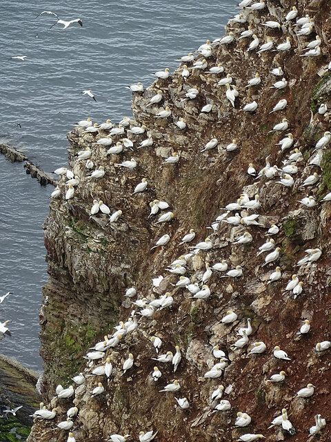
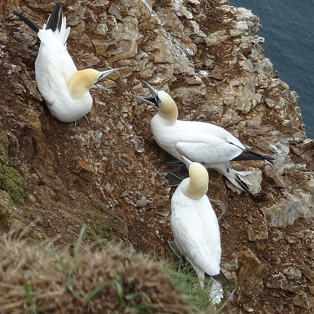
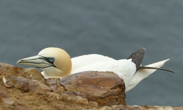
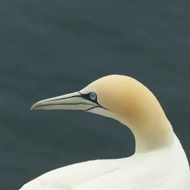
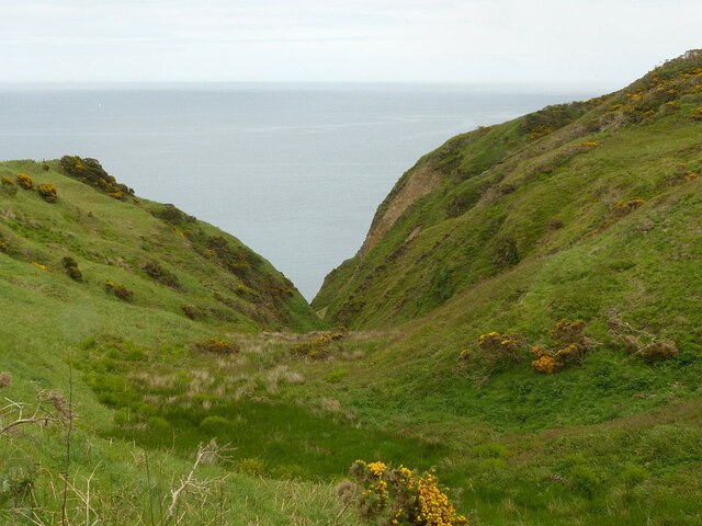
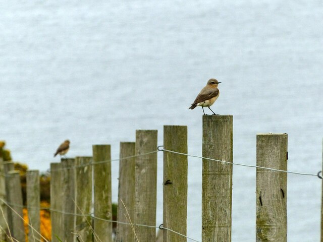
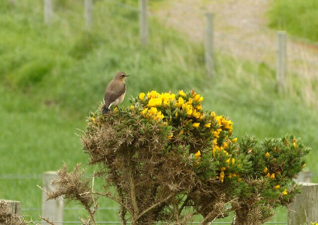
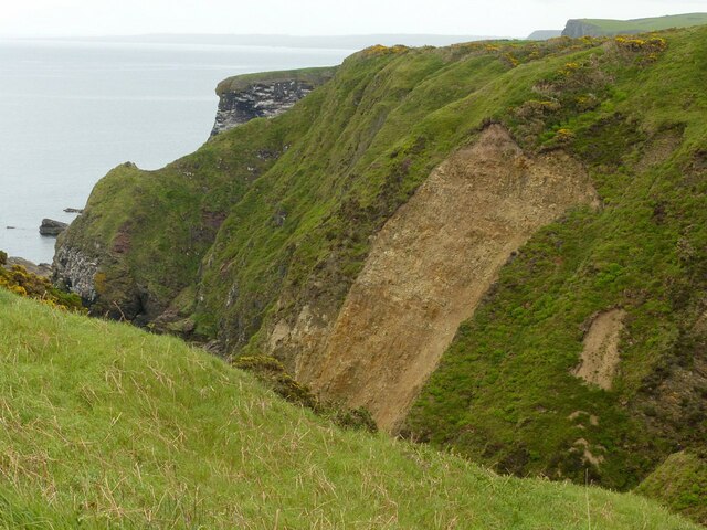
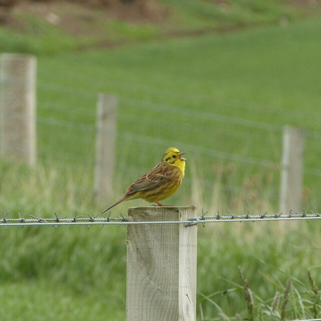
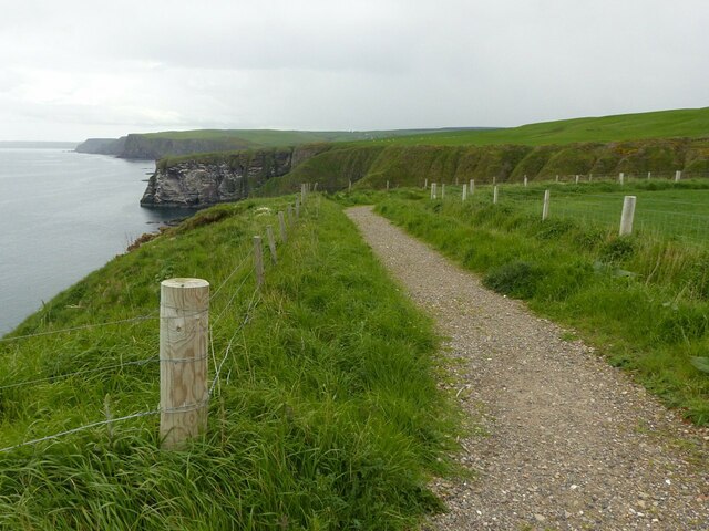
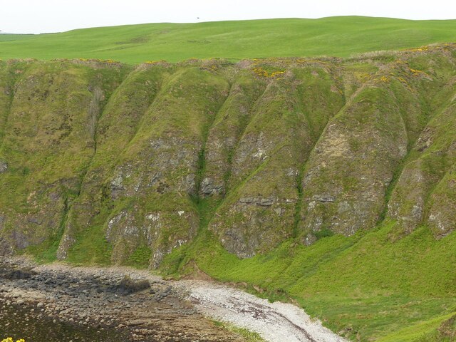
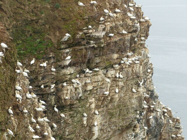
Ignet Castle Images
Images are sourced within 2km of 57.693568/-2.3048932 or Grid Reference NJ8167. Thanks to Geograph Open Source API. All images are credited.

Ignet Castle is located at Grid Ref: NJ8167 (Lat: 57.693568, Lng: -2.3048932)
Unitary Authority: Aberdeenshire
Police Authority: North East
What 3 Words
///rescue.motivates.scoop. Near Rosehearty, Aberdeenshire
Nearby Locations
Related Wikis
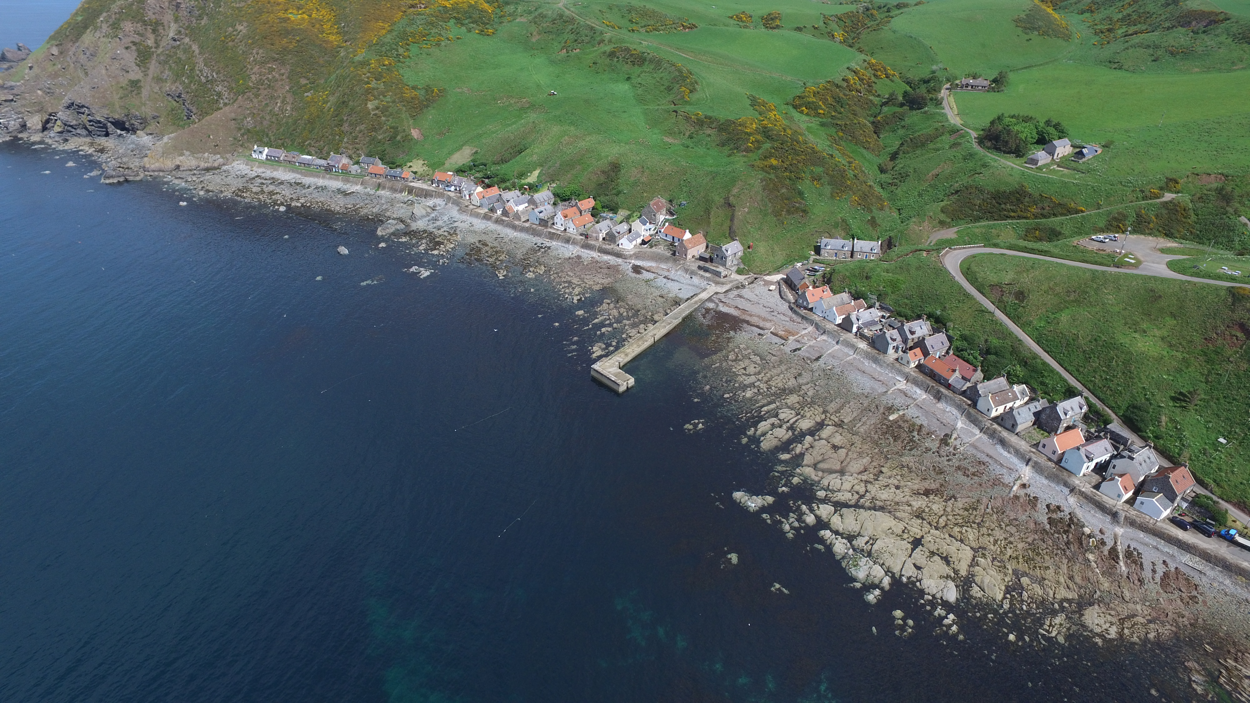
Crovie
Crovie is a small village in Aberdeenshire, Scotland, dating from the 18th century, a time when the sea was the only mode of transport to and from Scotland...

Gamrie Bay
Gamrie Bay is a bay in Aberdeenshire, Scotland. The bay is between Crovie Head and More Head. The villages of Gardenstown and Crovie are located within...

Pennan
Pennan (Scots: Peenan) is a small village in Aberdeenshire, Scotland, consisting of a small harbour and a single row of homes, including a hotel. It is...

Gardenstown
Gardenstown (Scots: Gamrie) is a small coastal village, 8.7 miles (14.0 km) by road east of Banff in Aberdeenshire, northeastern Scotland. The village...
Nearby Amenities
Located within 500m of 57.693568,-2.3048932Have you been to Ignet Castle?
Leave your review of Ignet Castle below (or comments, questions and feedback).