Bowman's Hole
Coastal Feature, Headland, Point in Banffshire
Scotland
Bowman's Hole
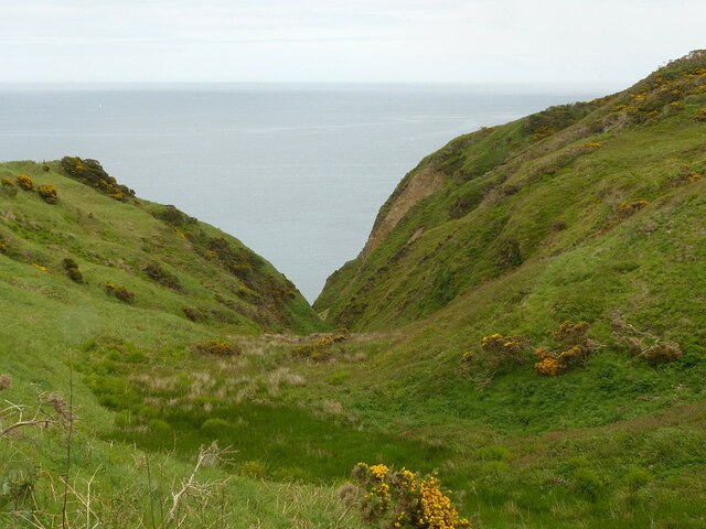
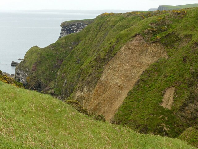
Bowman's Hole is a prominent coastal feature located in Banffshire, Scotland. It is a headland or point that juts out into the North Sea, offering breathtaking views of the surrounding landscape. This geographical formation is known for its rugged cliffs, rocky beaches, and stunning natural beauty.
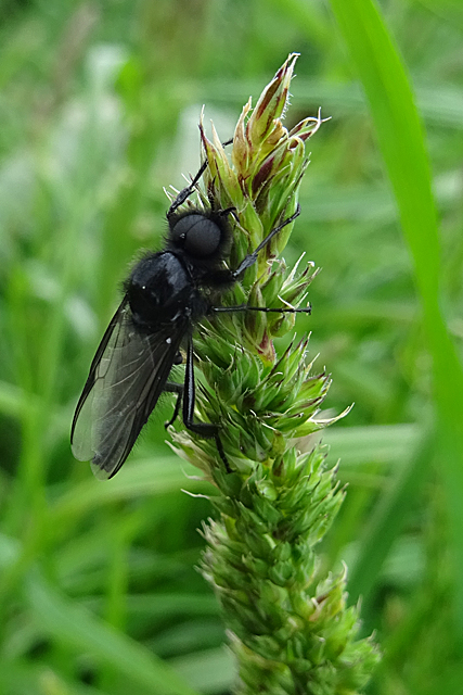
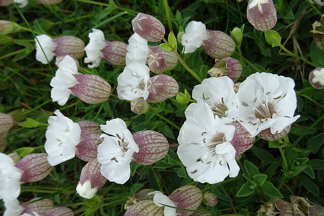
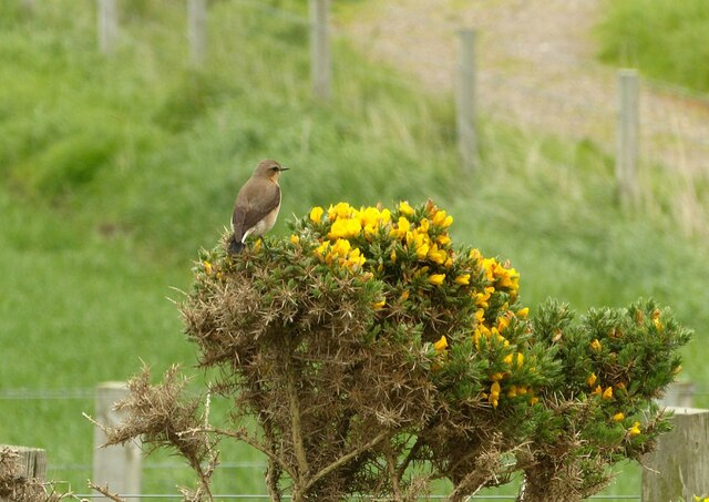
Situated near the village of Portsoy, Bowman's Hole is a popular destination for nature enthusiasts, hikers, and photographers. The headland provides an excellent vantage point to observe the dramatic coastline and the vast expanse of the North Sea. It is also home to a diverse range of flora and fauna, making it an important ecological site.
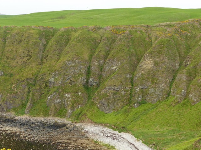
The cliffs at Bowman's Hole are composed of layers of sedimentary rock, showcasing the area's geological history. Visitors can see the unique rock formations and fossilized remains that have been exposed over millions of years due to erosion by the sea.
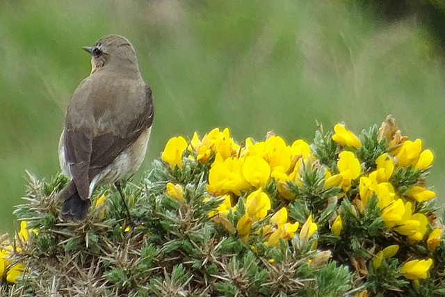
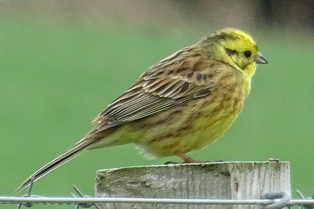
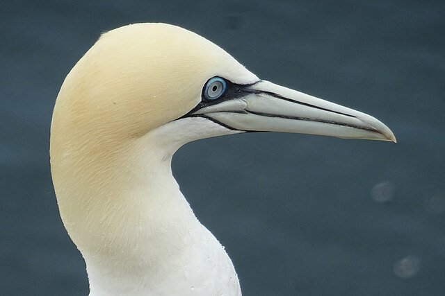
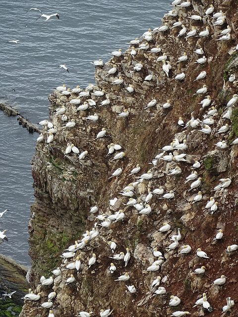
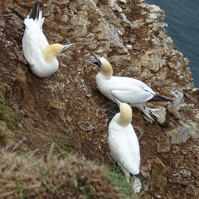
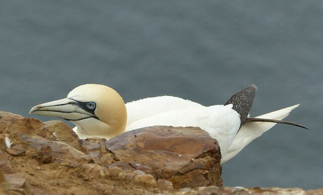
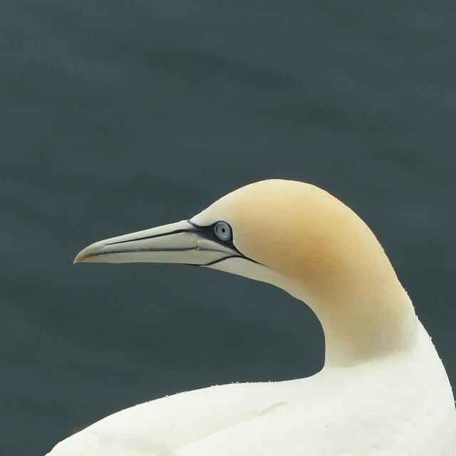
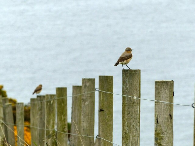
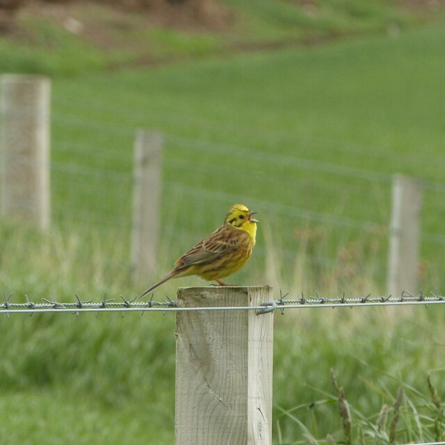
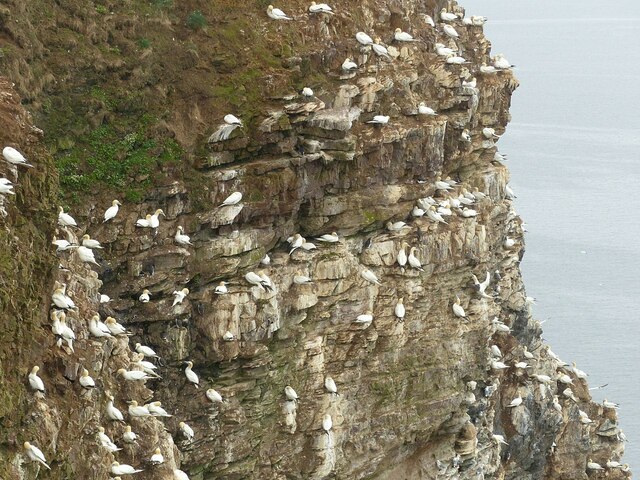
The rocky beaches around Bowman's Hole are a haven for marine life, and low tide reveals an array of tidal pools teeming with fascinating creatures. The area is particularly known for its rich birdlife, with various seabirds nesting along the cliffs and offshore islands.
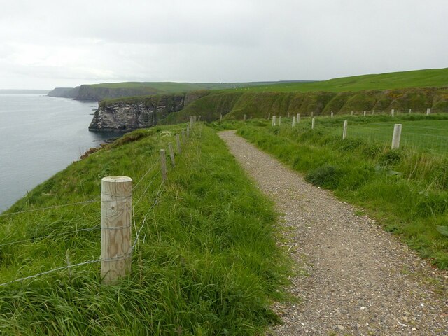
Bowman's Hole is easily accessible by foot, and there are several walking trails that lead to the headland. These trails offer stunning views of the coastline and the opportunity to spot wildlife along the way.
In summary, Bowman's Hole in Banffshire is a breathtaking coastal feature that showcases the natural beauty and geological significance of the area. Its rugged cliffs, rocky beaches, and diverse wildlife make it a must-visit destination for nature lovers and outdoor enthusiasts.
If you have any feedback on the listing, please let us know in the comments section below.
Bowman's Hole Images
Images are sourced within 2km of 57.692636/-2.311444 or Grid Reference NJ8167. Thanks to Geograph Open Source API. All images are credited.

Bowman's Hole is located at Grid Ref: NJ8167 (Lat: 57.692636, Lng: -2.311444)
Unitary Authority: Aberdeenshire
Police Authority: North East
What 3 Words
///decimals.adventure.staring. Near Macduff, Aberdeenshire
Nearby Locations
Related Wikis
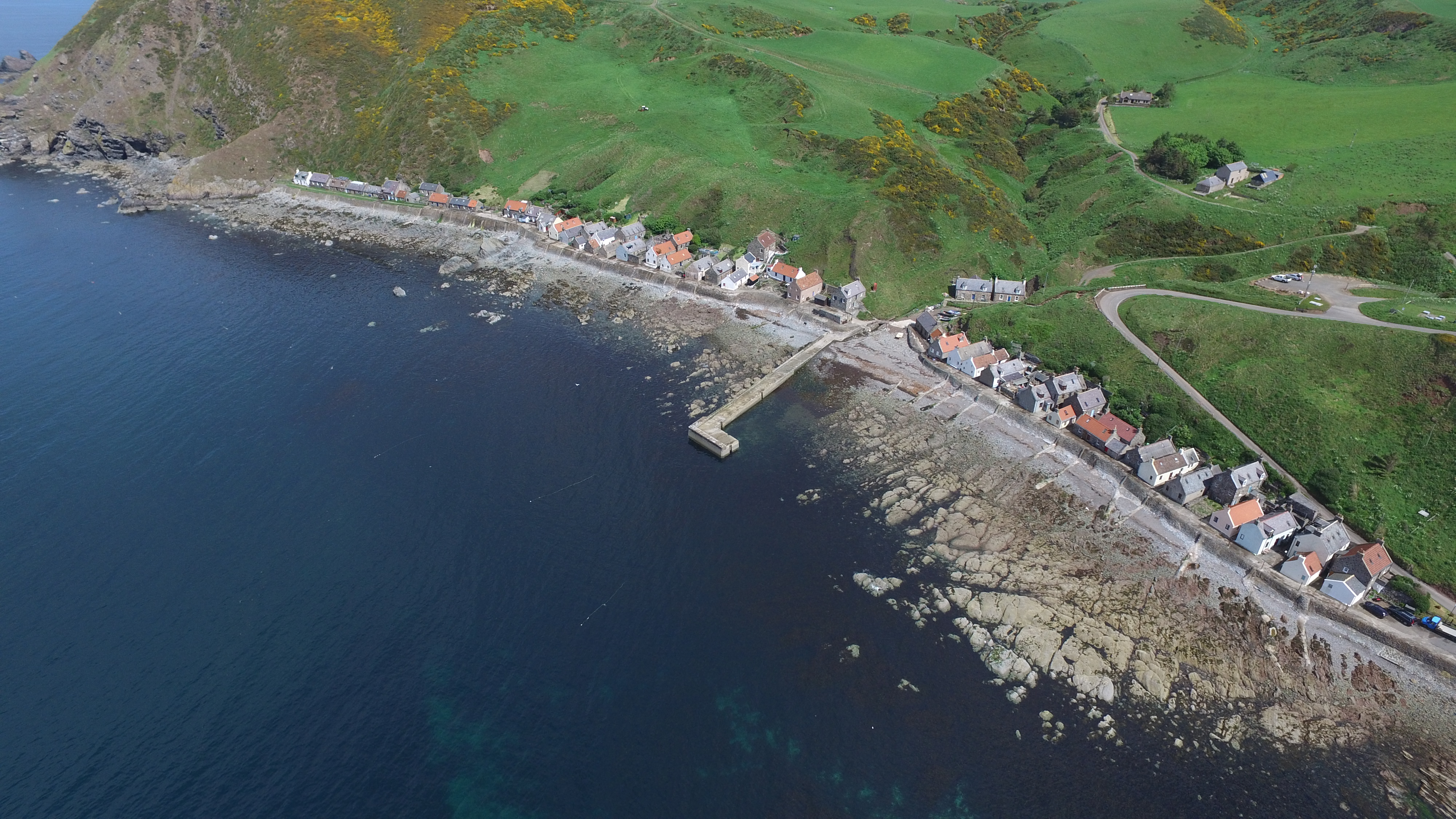
Crovie
Crovie is a small village in Aberdeenshire, Scotland, dating from the 18th century, a time when the sea was the only mode of transport to and from Scotland...

Gamrie Bay
Gamrie Bay is a bay in Aberdeenshire, Scotland. The bay is between Crovie Head and More Head. The villages of Gardenstown and Crovie are located within...

Gardenstown
Gardenstown (Scots: Gamrie) is a small coastal village, 8.7 miles (14.0 km) by road east of Banff in Aberdeenshire, northeastern Scotland. The village...

Pennan
Pennan (Scots: Peenan) is a small village in Aberdeenshire, Scotland, consisting of a small harbour and a single row of homes, including a hotel. It is...

St John's Church, Gamrie
St John's Church is a ruined church and kirkyard in the parish of Gamrie, Aberdeenshire, Scotland. The church, dedicated to St John the Evangelist, was...

Dubford
Dubford is a small village in northern coastal Aberdeenshire, Scotland. Dubford is situated along the B9031 road approximately 6 kilometres (3.7 mi) east...

Auchmeddan Castle
Auchmeddan Castle was a castle, most likely dating from the 16th century, now demolished, located 9 miles (14 km) west of Fraserburgh, at Mains of Auchmeddan...
Cairn Lee
Cairn Lee is a prehistoric monument in Aberdeenshire, Scotland. Cairn Lee and proximate Longman Hill are the oldest prehistoric features in the local area...
Nearby Amenities
Located within 500m of 57.692636,-2.311444Have you been to Bowman's Hole?
Leave your review of Bowman's Hole below (or comments, questions and feedback).