Ball Stone

Island in Dorset

England

Ball Stone

South West Coast Path, Lulworth Cove The South West Coast Path at Lulworth Cove, on Dorset's Jurassic coastline.
South West Coast Path, Lulworth Cove Credit: Malc McDonald

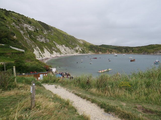
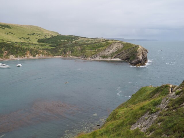
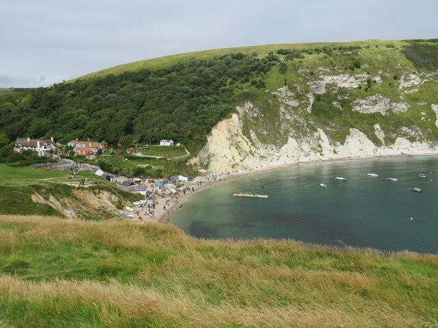
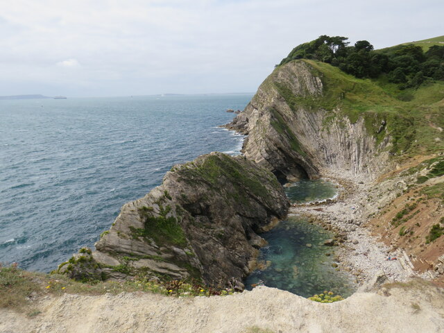
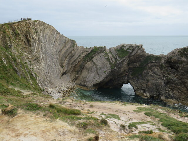
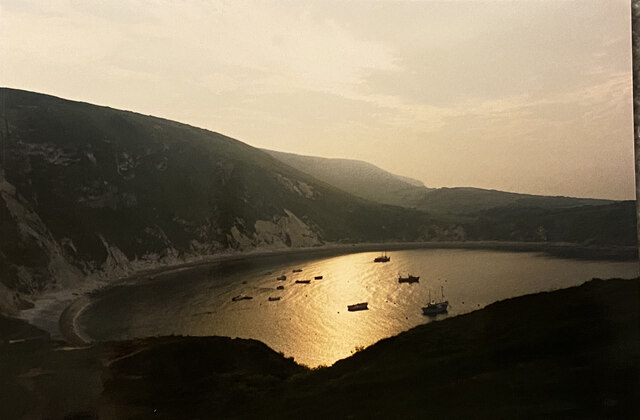
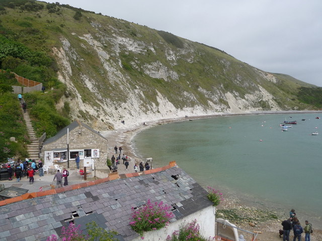
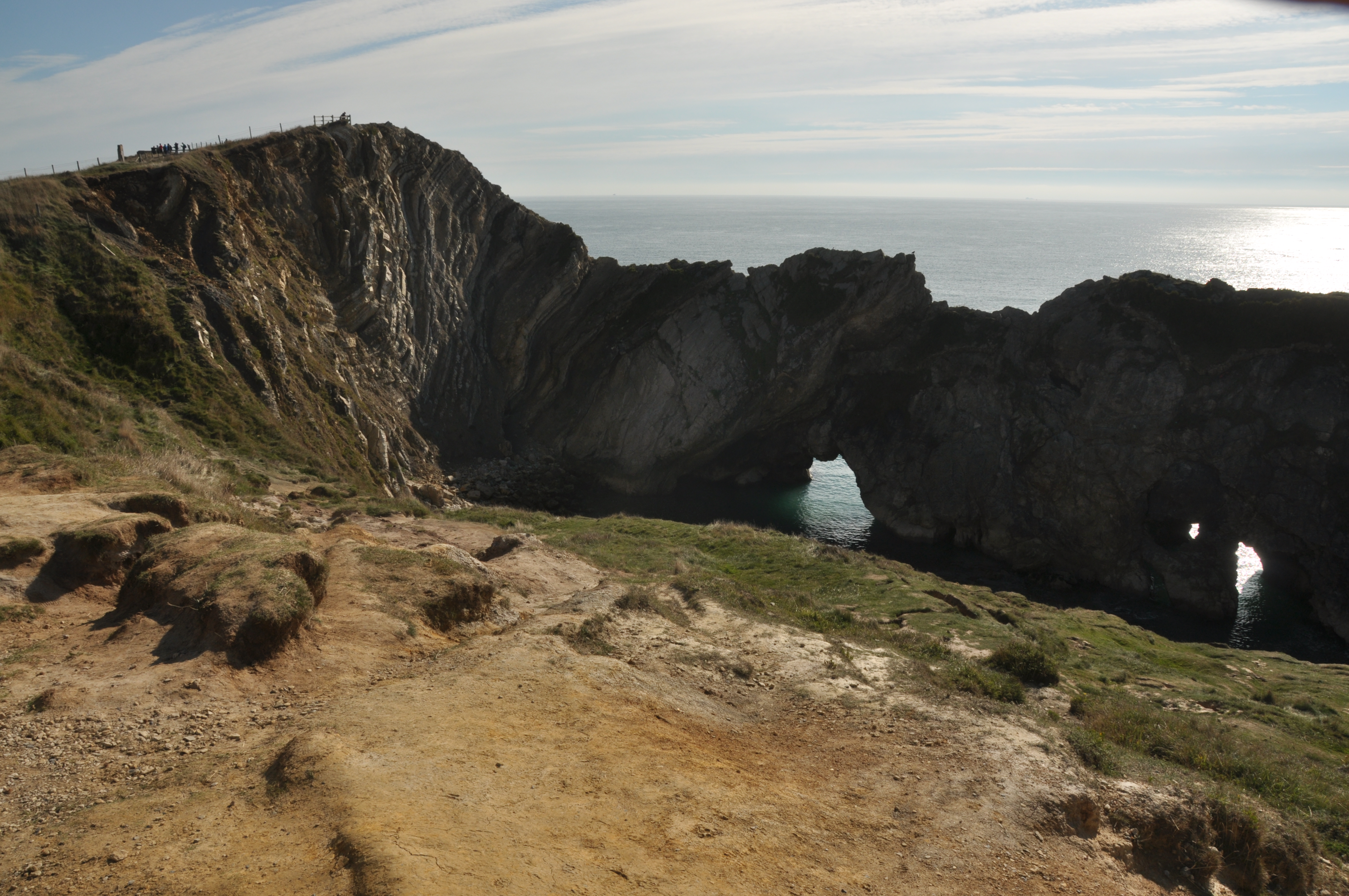
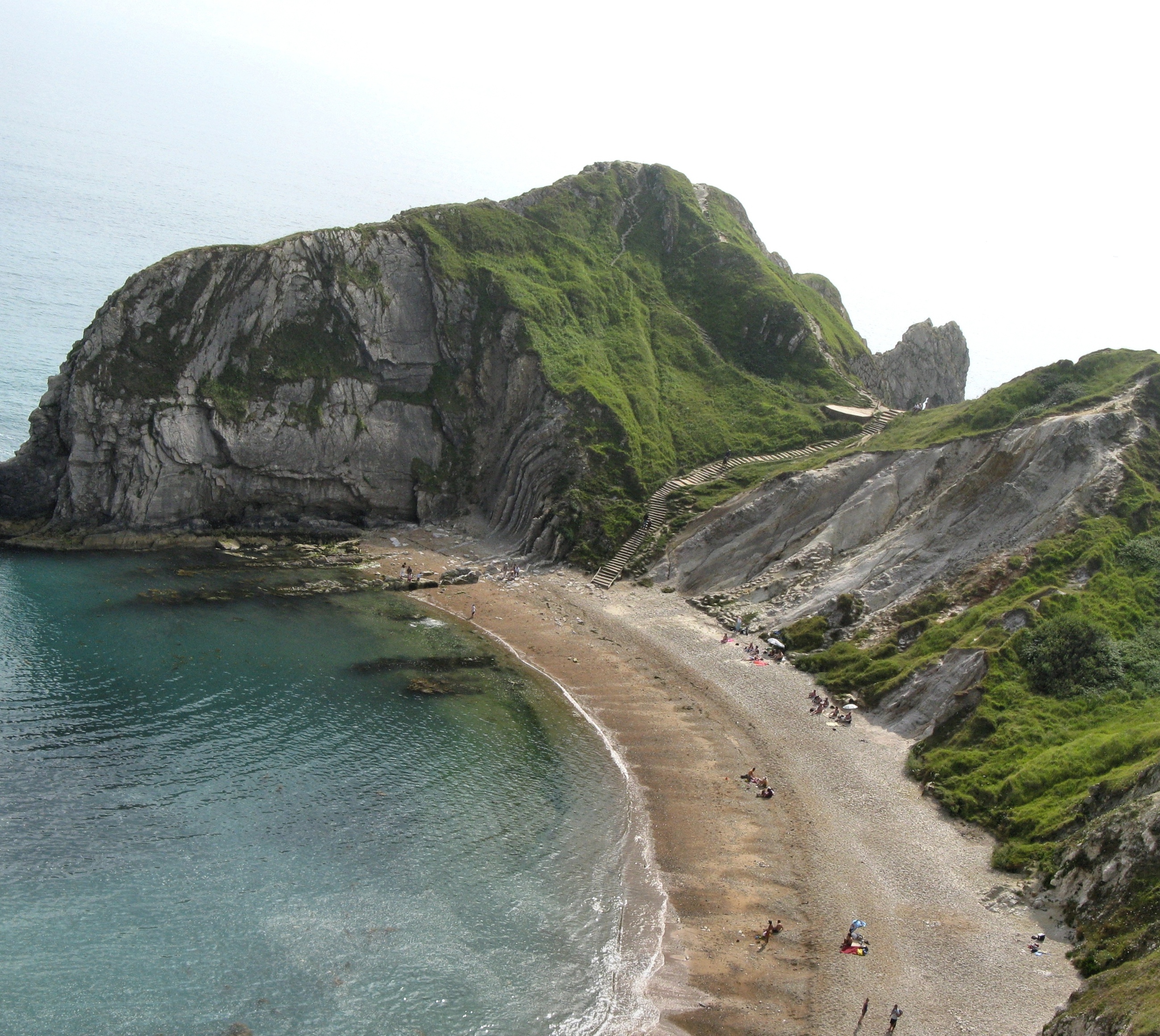
Ball Stone is a small uninhabited island located off the coast of Dorset, England. Situated in the English Channel, it is part of the Jurassic Coast, a UNESCO World Heritage Site known for its geological significance. The island is approximately 400 meters long and 200 meters wide, with a total area of around 0.02 square kilometers.

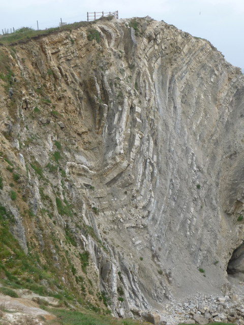
The island is predominantly composed of chalk, a soft white limestone, which is a characteristic feature of the region. It is named after a large round stone, known as the Ball Stone, which is located on its eastern side. The Ball Stone is a prominent landmark and is believed to have been deposited during the last Ice Age.

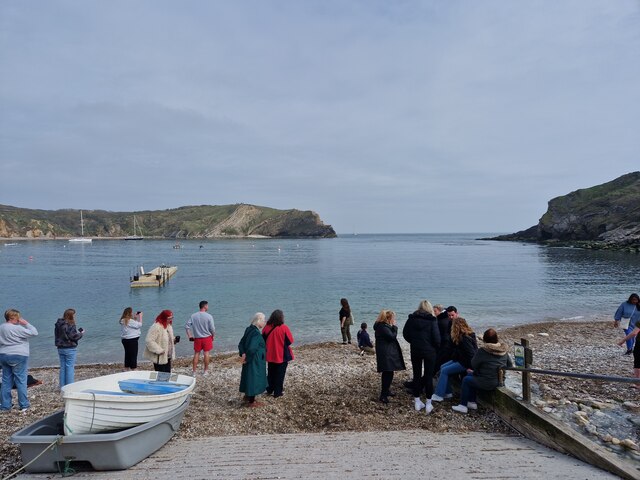
Ball Stone is a popular destination for birdwatchers, as it serves as a nesting site for various seabirds, including razorbills, guillemots, and fulmars. During the breeding season, the island is teeming with activity as these birds lay their eggs and raise their chicks.

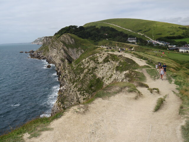
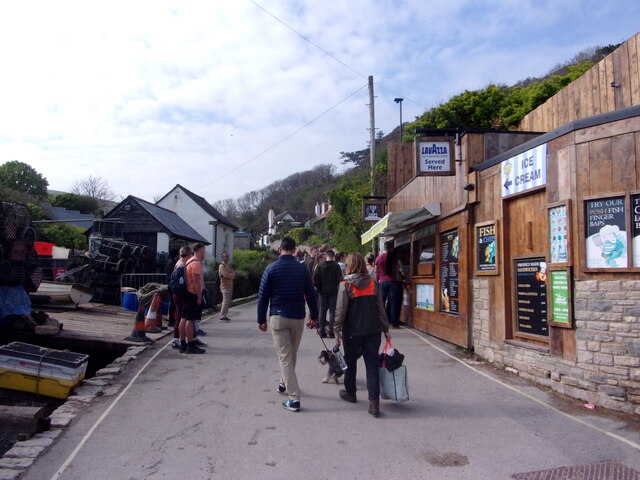
Access to Ball Stone is limited due to its protected status as a Site of Special Scientific Interest. Visitors are not permitted to land on the island without prior permission from the Dorset Wildlife Trust, which manages the area. However, the island can be observed from nearby vantage points, such as the cliffs at Durlston Country Park.

Overall, Ball Stone offers a unique glimpse into the natural beauty and biodiversity of the Jurassic Coast, providing a haven for seabirds and a valuable resource for scientific study.

If you have any feedback on the listing, please let us know in the comments section below.

Ball Stone Images

Images are sourced within 2km of 50.61802/-2.2609791 or Grid Reference SY8179. Thanks to Geograph Open Source API. All images are credited.

South West Coast Path, Lulworth Cove The South West Coast Path at Lulworth Cove, on Dorset's Jurassic coastline.
South West Coast Path, Lulworth Cove
The South West Coast Path at Lulworth Cove, on Dorset's Jurassic coastline.
Coastline at Lulworth Cove A view of Dorset's Jurassic coastline at Lulworth Cove.

The white scar on the hill in the background is a path, which forms part of the route of the South West Coast Path.
Coastline at Lulworth Cove
A view of Dorset's Jurassic coastline at Lulworth Cove. The white scar on the hill in the background is a path, which forms part of the route of the South West Coast Path.
Mouth of Lulworth Cove The mouth of Lulworth Cove, on Dorset's Jurassic coastline.
Mouth of Lulworth Cove
The mouth of Lulworth Cove, on Dorset's Jurassic coastline.
Lulworth Cove A view over part of Lulworth Cove, on Dorset's Jurassic coastline.
Lulworth Cove
A view over part of Lulworth Cove, on Dorset's Jurassic coastline.
Stair Hole, Lulworth Cove Stair Hole, adjacent to Lulworth Cove on Dorset's Jurassic coastline.  In the distance to the left of the image is the Isle of Portland.
Stair Hole, Lulworth Cove
Stair Hole, adjacent to Lulworth Cove on Dorset's Jurassic coastline. In the distance to the left of the image is the Isle of Portland.
Stair Hole, Lulworth Cove Stair Hole adjacent to Lulworth Cove on Dorset's Jurassic coastline.
Stair Hole, Lulworth Cove
Stair Hole adjacent to Lulworth Cove on Dorset's Jurassic coastline.
South West Coast Path, Lulworth Cove The South West Coast Path at Lulworth Cove in Dorset.
South West Coast Path, Lulworth Cove
The South West Coast Path at Lulworth Cove in Dorset.
South West Coast Path, Lulworth Cove The South West Coast Path at Lulworth Cove, in Dorset.
South West Coast Path, Lulworth Cove
The South West Coast Path at Lulworth Cove, in Dorset.
Lulworth Cove at dawn
West Lulworth Houses in West Lulworth.
West Lulworth
Houses in West Lulworth.
Lulworth Cove Cliffs at Lulworth.
Lulworth Cove
Cliffs at Lulworth.
Lulworth Cove
Lulworth Cove
Lulworth Cove Fairly quiet autumn day.
Lulworth Cove
Fairly quiet autumn day.
Lulworth Cove: late April 2023
Mayday Bank holiday weekend visitors at Lulworth
West Lulworth: Cove Fish A tiny building for a detached shop; it has a 1955 date stone in the gable looks as if it is a former telephone exchange. The shop has a frozen counter and is not a fish-and-chip outlet.
West Lulworth: Cove Fish
A tiny building for a detached shop; it has a 1955 date stone in the gable looks as if it is a former telephone exchange. The shop has a frozen counter and is not a fish-and-chip outlet.
West Lulworth: view over a boathouse roof Looking across the back of the Cove over the roof of a boathouse which looks as if it could do with some repairs. Opposite it at the bottom of the road from the village is the Old Boathouse, now a refreshment shop.
West Lulworth: view over a boathouse roof
Looking across the back of the Cove over the roof of a boathouse which looks as if it could do with some repairs. Opposite it at the bottom of the road from the village is the Old Boathouse, now a refreshment shop.
West Lulworth: the Lulworth Crumple A well-known geological phenomenon at Stair Hole, just by the Cove.
West Lulworth: the Lulworth Crumple
A well-known geological phenomenon at Stair Hole, just by the Cove.
Show me another place!

Ball Stone is located at Grid Ref: SY8179 (Lat: 50.61802, Lng: -2.2609791)

Unitary Authority: Dorset

Police Authority: Dorset

What 3 Words

///isolated.pulps.impaired. Near Wool, Dorset

Related Wikis

Dungy Head

Dungy Head is a coastal promontory located west of Lulworth Cove on the Jurassic Coast in Dorset, England. It forms the eastern end of St Oswald's Bay...

Hambury Tout

Hambury Tout is a large chalk hill by the coast near Lulworth, Dorset, England. It overlooks Lulworth Cove to the west. Hambury Tout is the site of an...

Stair Hole

Stair Hole is a small cove located just west of Lulworth Cove in Dorset, southern England. The folded limestone strata known as the Lulworth crumple are...
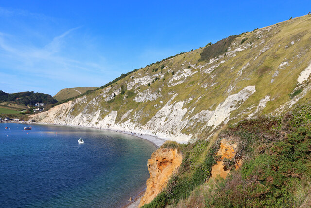
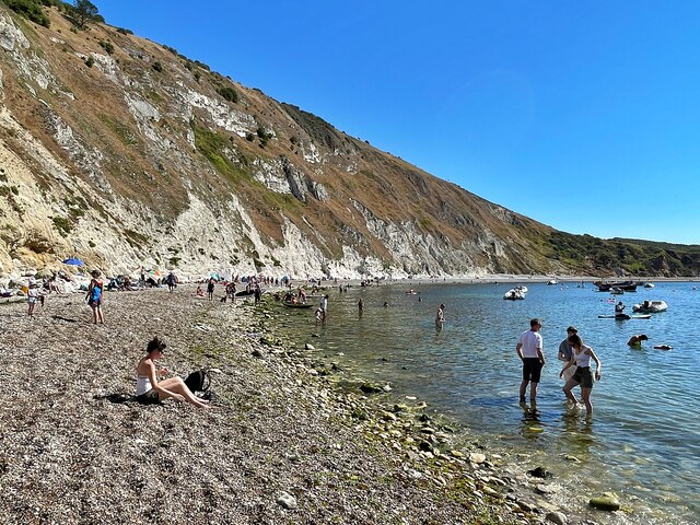
St Oswald's Bay

St Oswald's Bay is located near Lulworth on the Jurassic Coast in Dorset, England.The bay has a narrow beach of shingle with high chalk cliffs. The beach...
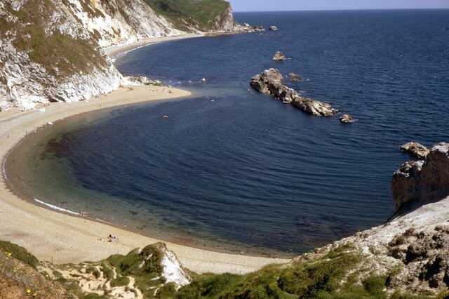
Man o' War Cove

Man o' War Cove (or Man of War Bay and similar names) lies on the Dorset coast in southern England and is flanked by the rocky, steep and slightly projecting...

Castle Inn

The Castle Inn is a public house in West Lulworth, Dorset, England, which dates from the 16th century. It was originally called The Green Man, and later...
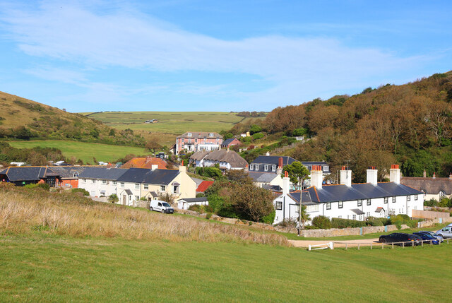
Lulworth

Lulworth is the popular name for an area on the coast of Dorset, South West England notable for its castle and cove. However, there is no actual place...

Lulworth Cove

Lulworth Cove is a cove near the village of West Lulworth, on the Jurassic Coast in Dorset, southern England. The cove is one of the world's finest examples...

Nearby Amenities

Located within 500m of 50.61802,-2.2609791
Source: PGS
Lat/Long: 50.6207773/-2.2658936
Source: PGS
Lat/Long: 50.620165/-2.264484
Source: PGS
Lat/Long: 50.6199904/-2.2640094
Source: PGS
Lat/Long: 50.6197086/-2.2633509
Source: PGS
Lat/Long: 50.6193614/-2.2625355
Source: PGS
Lat/Long: 50.6190619/-2.2622029
Source: PGS
Lat/Long: 50.6186194/-2.261763
Source: PGS
Lat/Long: 50.6183675/-2.2610657
Source: PGS
Lat/Long: 50.618211/-2.2603146
Source: PGS
Lat/Long: 50.6180272/-2.2601966
Source: PGS
Lat/Long: 50.6179591/-2.2598426
Source: PGS
Lat/Long: 50.6180953/-2.2597138
Source: PGS
Lat/Long: 50.6183675/-2.2594563
Source: PGS
Lat/Long: 50.6183607/-2.2587375
Source: PGS
Lat/Long: 50.6181497/-2.2578577
Source: PGS
Lat/Long: 50.6179659/-2.2569029
Source: PGS
Lat/Long: 50.6179764/-2.2550439
Hambury Tout
Alt Name: Nipple Hill
Ele: 138
Natural: peak
Wikidata: Q5644358
Wikipedia: en:Hambury Tout
Lat/Long: 50.622031/-2.261737
Camera Type: dome
Height: 3
Man Made: surveillance
Surveillance: public
Surveillance Type: camera
Lat/Long: 50.6196959/-2.2573264
Camera Type: dome
Height: 3
Man Made: surveillance
Surveillance: public
Surveillance Type: camera
Lat/Long: 50.619732/-2.2574011
Vending Machine
Check Date: 2022-09-05
Vending: parking_tickets
Lat/Long: 50.6199983/-2.2555339
Dungy Head
Place: locality
Lat/Long: 50.6189866/-2.2616982
Fire Hydrant
Emergency: fire_hydrant
Fire Hydrant Diameter: 75
Fire Hydrant Type: underground
Ref: 3999
Source: GPS+GLONASS
Lat/Long: 50.6197749/-2.2566558
Hambury Bottom
Location Transition: yes
Material: wood
Poles: bipole
Power: pole
Ref: 53502164
Source: GPS+GLONASS
Transformer: distribution
Voltage Primary: 11000
Voltage Secondary: 400
Voltage Tertiary: 230
Lat/Long: 50.6198005/-2.2549804
Waste Basket
Lat/Long: 50.6206494/-2.2554417
Man Made: survey_point
Lat/Long: 50.6221775/-2.2618199
Dungy Head
Ele: 61
Natural: peak
Wikidata: Q5315237
Wikipedia: en:Dungy Head
Lat/Long: 50.6188248/-2.2563882
The data included in this document is from www.openstreetmap.org. The data is made available under ODbL.

Have you been to Ball Stone?

Leave your review of Ball Stone below (or comments, questions and feedback).