Britton's Rock
Island in Devon North Devon
England
Britton's Rock
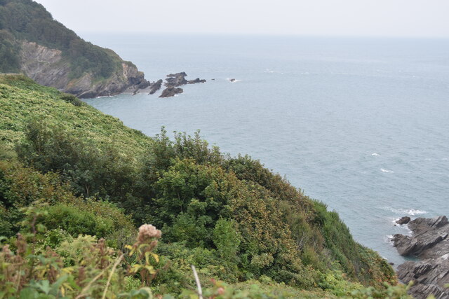
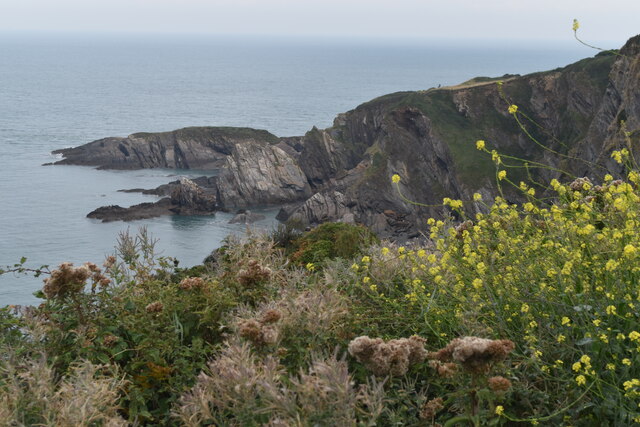
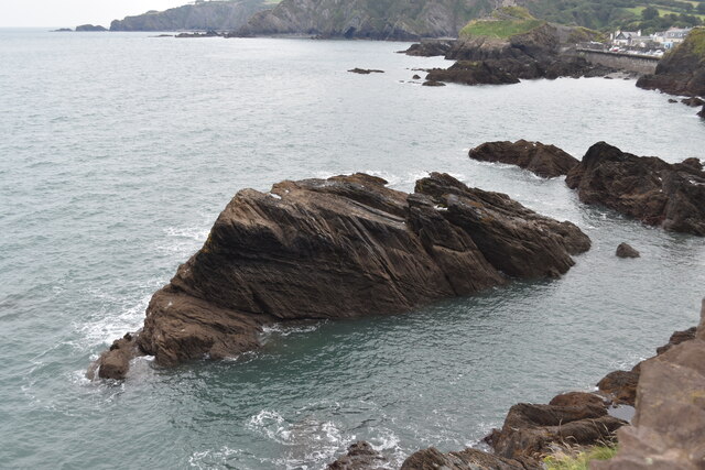
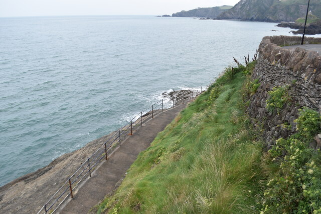
Britton's Rock is a small uninhabited island located off the coast of Devon, England. Situated in the Bristol Channel, it is part of the Lundy Island archipelago. The island is roughly 1.5 hectares in size and consists mainly of rocky cliffs and a small area of low-lying vegetation.
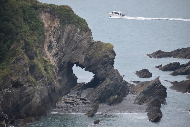
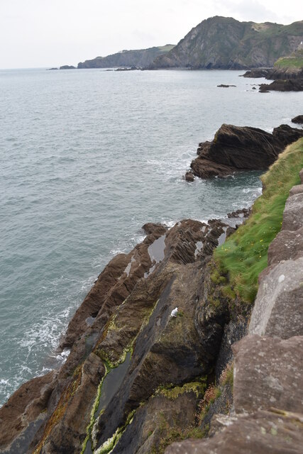
Britton's Rock is known for its rugged and isolated beauty. The cliffs, which rise up to 30 meters in some places, provide a dramatic backdrop to the surrounding waters. The island is home to a variety of seabirds, including puffins, guillemots, and razorbills, which nest in the crevices of the cliffs during the breeding season.
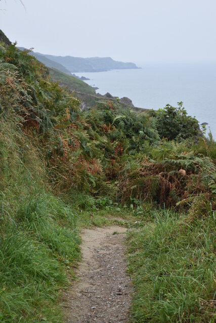
Access to Britton's Rock is limited due to its remote location and rough terrain. It is only accessible by boat, and visitors are advised to exercise caution when navigating the rocky shoreline. The island does not have any visitor facilities or accommodation, making it a destination for those seeking solitude and natural beauty.
The surrounding waters are popular among divers, as the rocky coastline provides a diverse habitat for marine life. Underwater caves and crevices are home to an array of colorful fish, crustaceans, and kelp forests, creating an underwater haven for divers to explore.
Overall, Britton's Rock is a picturesque and untouched island, offering visitors a unique opportunity to experience the untamed beauty of the Devon coastline.
If you have any feedback on the listing, please let us know in the comments section below.
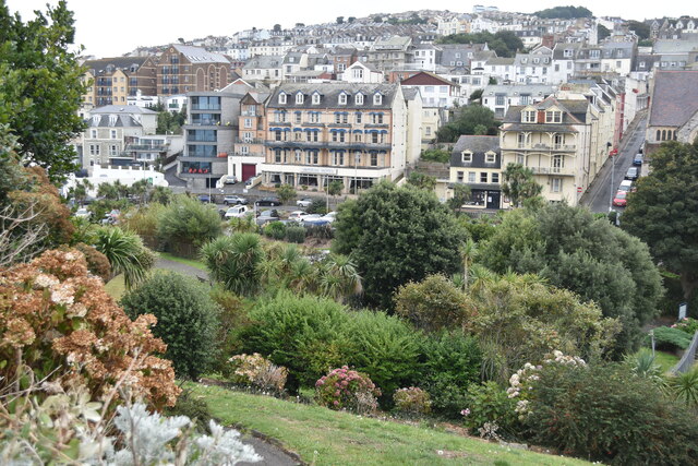
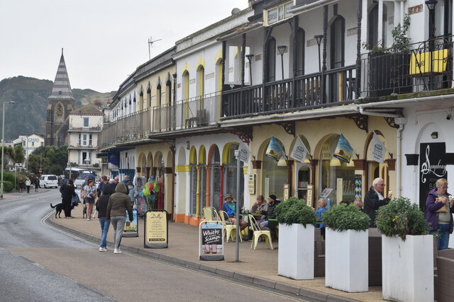
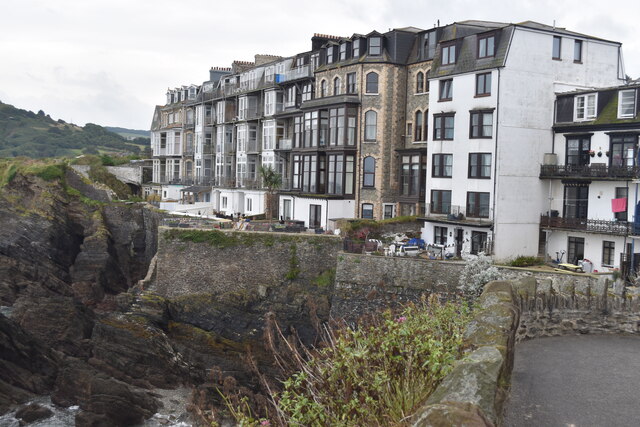
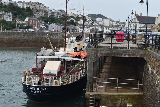
Britton's Rock Images
Images are sourced within 2km of 51.209719/-4.1106004 or Grid Reference SS5247. Thanks to Geograph Open Source API. All images are credited.
Britton's Rock is located at Grid Ref: SS5247 (Lat: 51.209719, Lng: -4.1106004)
Administrative County: Devon
District: North Devon
Police Authority: Devon and Cornwall
What 3 Words
///spelled.spaceship.lighters. Near Ilfracombe, Devon
Nearby Locations
Related Wikis
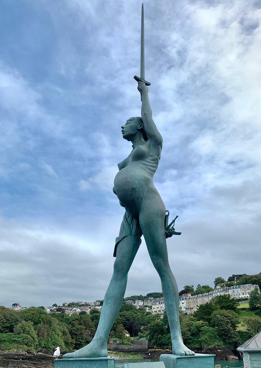
Verity (statue)
Verity is a 2012 stainless steel and bronze statue created by Damien Hirst. The 20.25-metre (66.4 ft) tall sculpture stands on the pier at the entrance...
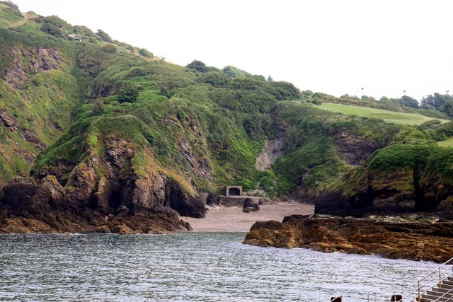
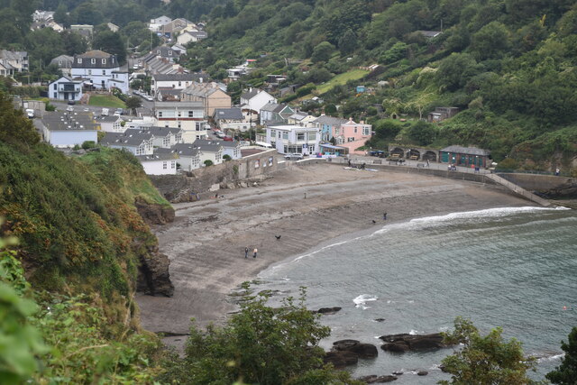
Rapparee Cove
Rapparee is a cove in the North Devon town of Ilfracombe. The cove is the site of the shipwreck of the transport London, which sank on 9 October 1796 in...

Chambercombe
Chambercombe is a hilly suburb in the North Devon town of Ilfracombe. == References == The geographic coordinates are from the Ordnance Survey. == External... ==
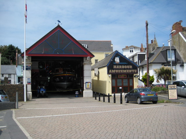
Ilfracombe Lifeboat Station
Ilfracombe Lifeboat Station is the base for Royal National Lifeboat Institution (RNLI) search and rescue operations at Ilfracombe, Devon, England. The...

Hillsborough, Devon
Hillsborough is a local nature reserve in Ilfracombe, North Devon. It is known locally as the sleeping elephant. It was bought by the local council in...

The Ilfracombe Academy
The Ilfracombe Academy is a coeducational secondary school and sixth form with academy status, located in the North Devon town of Ilfracombe, England...
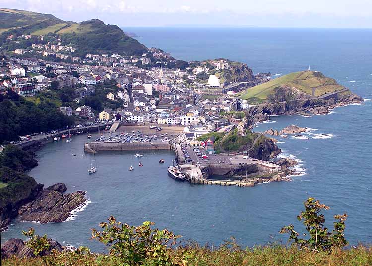
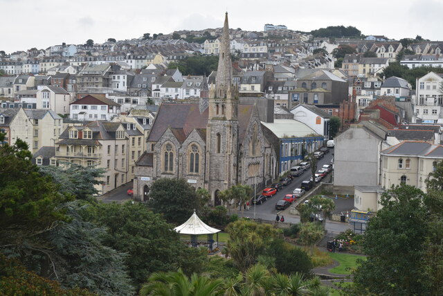
Ilfracombe
Ilfracombe ( IL-frə-koom) is a seaside resort and civil parish on the North Devon coast, England, with a small harbour surrounded by cliffs. The parish...

Hele Bay
Hele Bay is a small village and beach just to the east of the town of Ilfracombe in North Devon, England. It is on the South West Coast Path. The small...
Nearby Amenities
Located within 500m of 51.209719,-4.1106004Have you been to Britton's Rock?
Leave your review of Britton's Rock below (or comments, questions and feedback).