Rapparee Cove
Sea, Estuary, Creek in Devon North Devon
England
Rapparee Cove
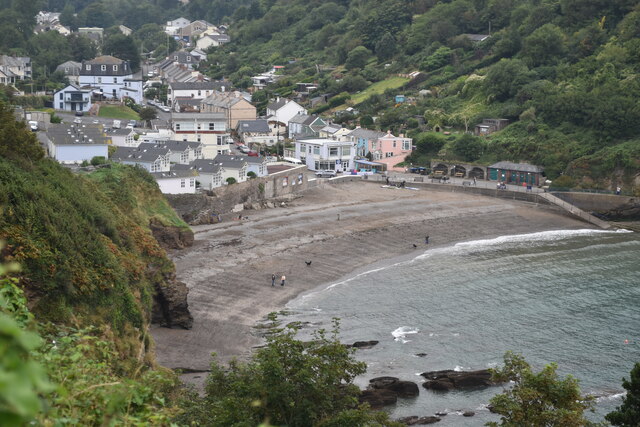
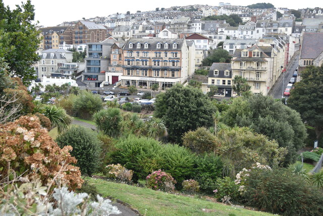
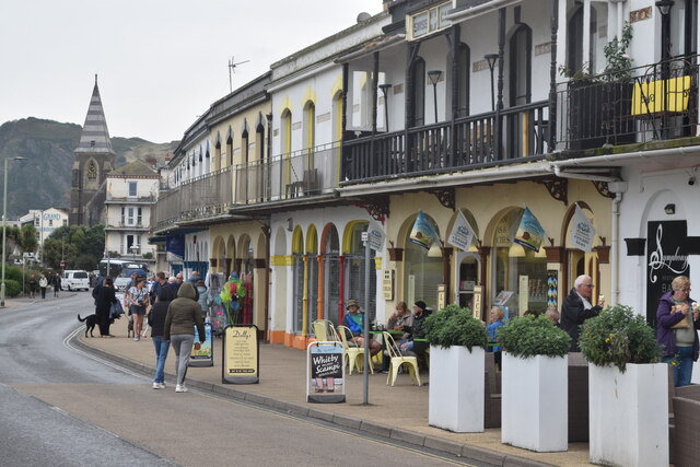
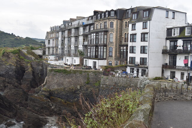
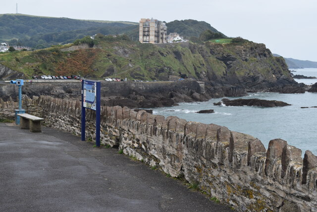
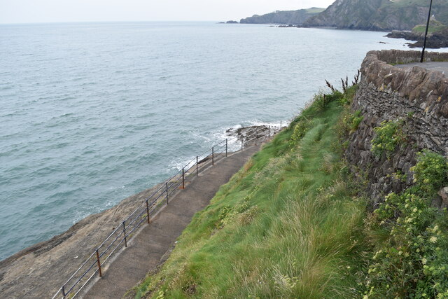
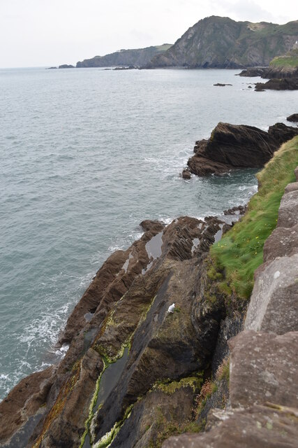
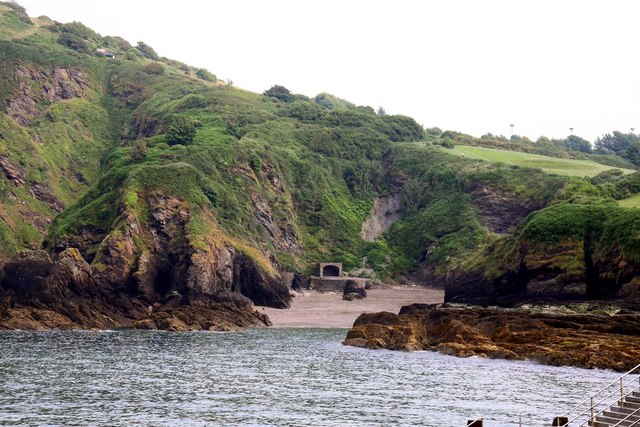
Rapparee Cove is a picturesque coastal area located in the county of Devon, England. Situated along the South West Coast Path, it is renowned for its stunning views of the sea, estuary, and creek. Nestled between the towns of Salcombe and Kingsbridge, Rapparee Cove offers a tranquil retreat for nature enthusiasts and those seeking a peaceful getaway.
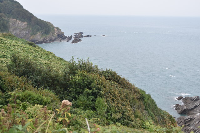
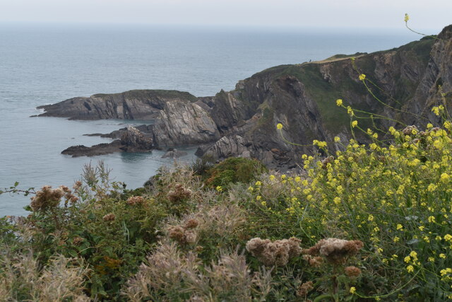
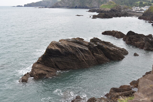
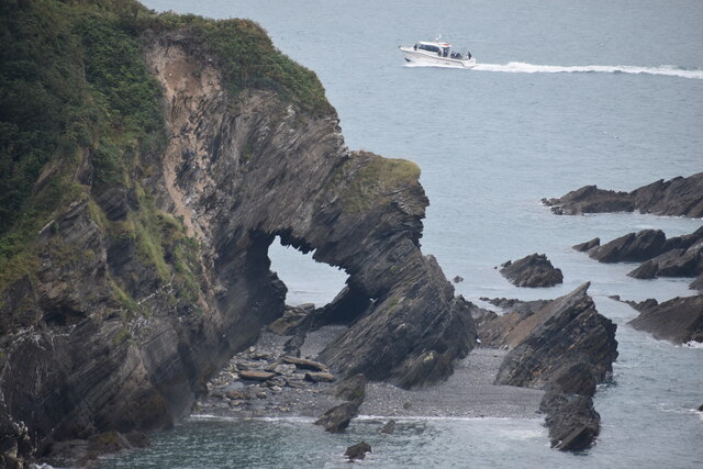
The cove is characterized by its rugged cliffs, sandy beaches, and crystal-clear waters. The sea here provides a refreshing and invigorating experience for swimmers, while also attracting surfers and sailors who take advantage of the excellent conditions. The estuary, formed by the convergence of several rivers, adds a unique charm to the area, creating a diverse ecosystem that supports a wide variety of plant and animal life.
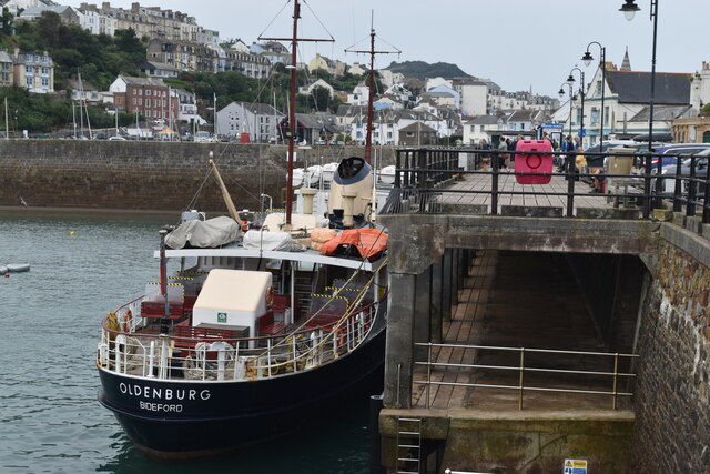
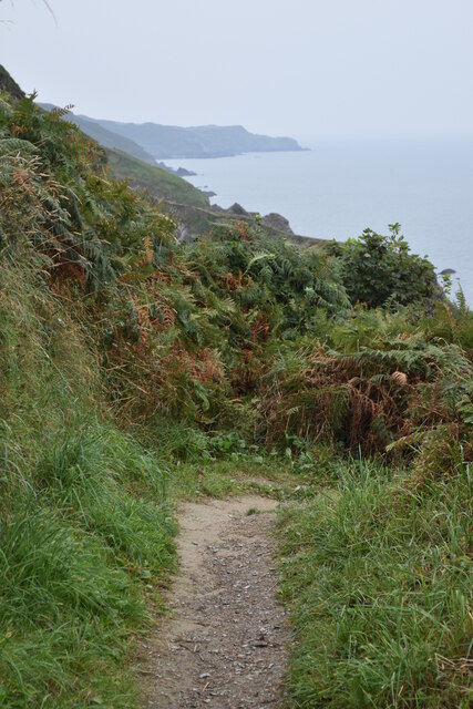
Visitors to Rapparee Cove can explore the surrounding coastal paths, taking in the breathtaking panoramic views of the sea and coastline. The area is also home to a range of wildlife, including seabirds, seals, and even the occasional dolphin or porpoise.
For those who prefer a more relaxed pace, the creek offers a peaceful setting for boating and fishing. The calm waters and sheltered bay make it an ideal spot for kayaking or paddleboarding, allowing visitors to immerse themselves in the tranquil beauty of the cove.
Overall, Rapparee Cove in Devon offers a delightful blend of natural beauty, outdoor activities, and a serene atmosphere, making it a popular destination for both locals and tourists looking to enjoy the stunning coastal scenery.
If you have any feedback on the listing, please let us know in the comments section below.
Rapparee Cove Images
Images are sourced within 2km of 51.209762/-4.1082113 or Grid Reference SS5247. Thanks to Geograph Open Source API. All images are credited.
Rapparee Cove is located at Grid Ref: SS5247 (Lat: 51.209762, Lng: -4.1082113)
Administrative County: Devon
District: North Devon
Police Authority: Devon and Cornwall
What 3 Words
///overdone.value.zealous. Near Ilfracombe, Devon
Nearby Locations
Related Wikis
Rapparee Cove
Rapparee is a cove in the North Devon town of Ilfracombe. The cove is the site of the shipwreck of the transport London, which sank on 9 October 1796 in...
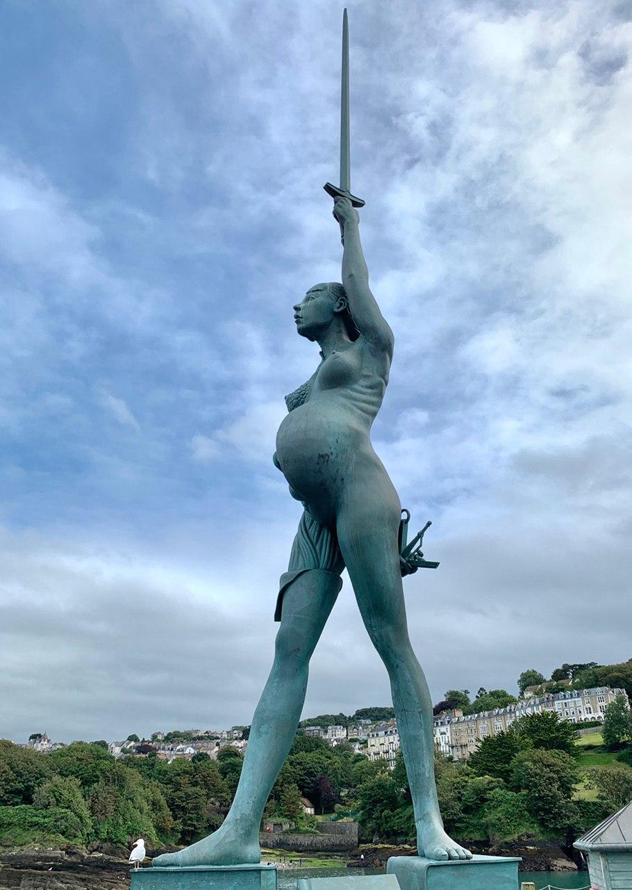
Verity (statue)
Verity is a 2012 stainless steel and bronze statue created by Damien Hirst. The 20.25-metre (66.4 ft) tall sculpture stands on the pier at the entrance...

Hillsborough, Devon
Hillsborough is a local nature reserve in Ilfracombe, North Devon. It is known locally as the sleeping elephant. It was bought by the local council in...

Chambercombe
Chambercombe is a hilly suburb in the North Devon town of Ilfracombe. == References == The geographic coordinates are from the Ordnance Survey. == External... ==
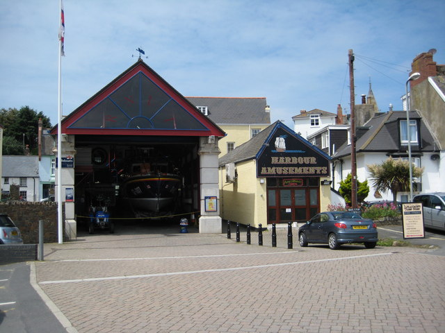
Ilfracombe Lifeboat Station
Ilfracombe Lifeboat Station is the base for Royal National Lifeboat Institution (RNLI) search and rescue operations at Ilfracombe, Devon, England. The...

Hele Bay
Hele Bay is a small village and beach just to the east of the town of Ilfracombe in North Devon, England. It is on the South West Coast Path. The small...

The Ilfracombe Academy
The Ilfracombe Academy is a coeducational secondary school and sixth form with academy status, located in the North Devon town of Ilfracombe, England...
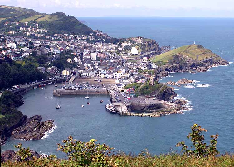
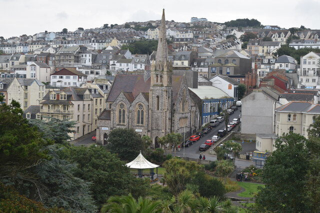
Ilfracombe
Ilfracombe ( IL-frə-koom) is a seaside resort and civil parish on the North Devon coast, England, with a small harbour surrounded by cliffs. The parish...
Nearby Amenities
Located within 500m of 51.209762,-4.1082113Have you been to Rapparee Cove?
Leave your review of Rapparee Cove below (or comments, questions and feedback).