Eilean nam Faoileag
Island in Perthshire
Scotland
Eilean nam Faoileag

The requested URL returned error: 429 Too Many Requests
If you have any feedback on the listing, please let us know in the comments section below.
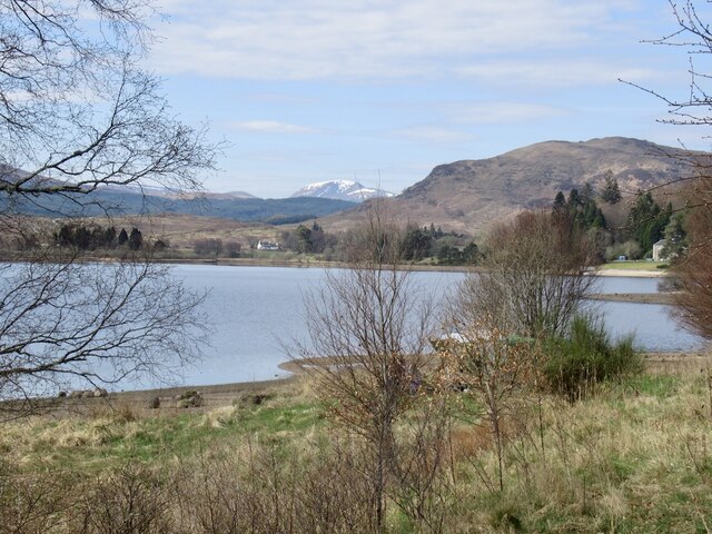
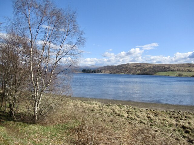
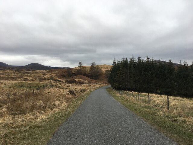
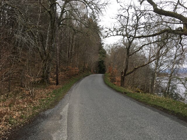
Eilean nam Faoileag Images
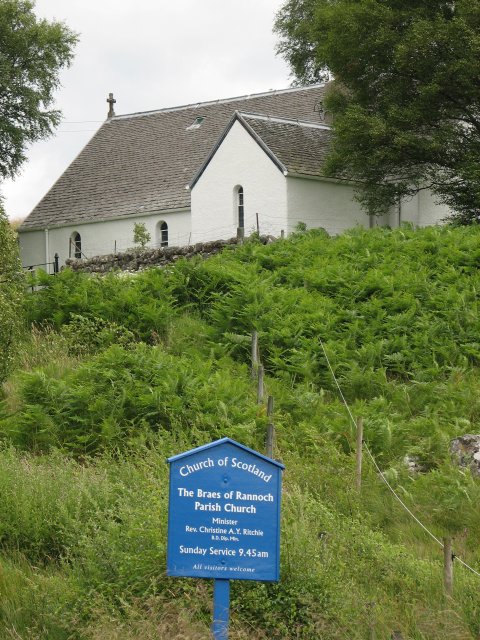
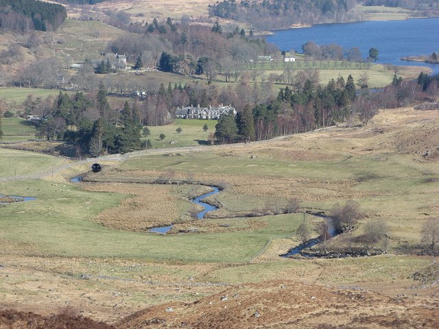
Images are sourced within 2km of 56.687838/-4.4008332 or Grid Reference NN5357. Thanks to Geograph Open Source API. All images are credited.


Eilean nam Faoileag is located at Grid Ref: NN5357 (Lat: 56.687838, Lng: -4.4008332)
Unitary Authority: Perth and Kinross
Police Authority: Tayside
What 3 Words
///swatting.hotels.pacemaker. Near Pubil, Perth & Kinross
Nearby Locations
Related Wikis
Braes of Rannoch
Braes of Rannoch (wikt:braes, slopes, Gaelic Braigh Raithneach) is a hill with a deserted hamlet and church in Perthshire. The hamlet was formerly, briefly...
Rannoch Barracks
Rannoch Barracks was a military barracks constructed in 1746 at Bridge of Gaur (Braes of Rannoch), Perthshire, Scotland, at the western end of Loch Rannoch...

River Ericht, Rannoch
The River Ericht (Scottish Gaelic: Eireachd) is a short river which flows generally southwards from the southern end of Loch Ericht for 3 miles / 5 km...

Rannoch
Rannoch (Scottish Gaelic: Raineach or Raithneach, meaning 'bracken') is an area of the Scottish Highlands between the A9 road, to the east, and the A82...
Nearby Amenities
Located within 500m of 56.687838,-4.4008332Have you been to Eilean nam Faoileag?
Leave your review of Eilean nam Faoileag below (or comments, questions and feedback).