Eilean nan Gobhar
Island in Sutherland
Scotland
Eilean nan Gobhar
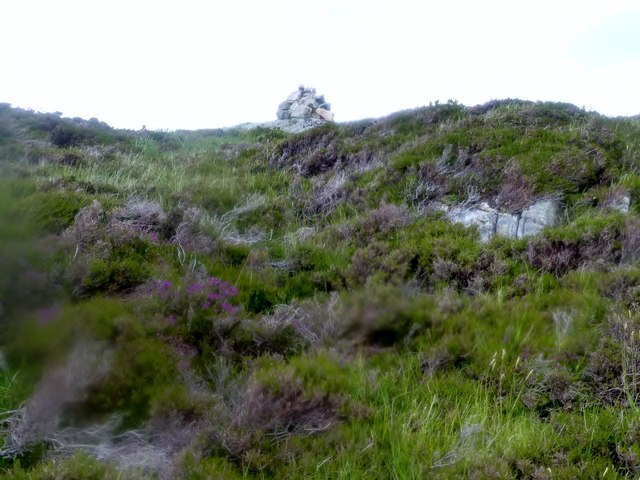
Eilean nan Gobhar, also known as the Island of the Goats, is a small uninhabited island located off the north coast of Scotland in the county of Sutherland. The island is situated in the Atlantic Ocean, about 1.5 miles from the mainland. It covers an area of approximately 22 acres and is characterized by rugged terrain and rocky cliffs.
Eilean nan Gobhar gets its name from the numerous wild goats that inhabit the island. These goats are believed to have been introduced by humans in the past, and their population has thrived due to the lack of natural predators on the island. The goats are well adapted to the harsh environment and can be seen climbing the steep cliffs with ease.
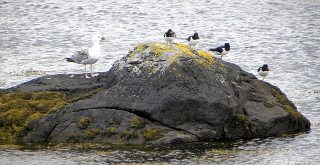
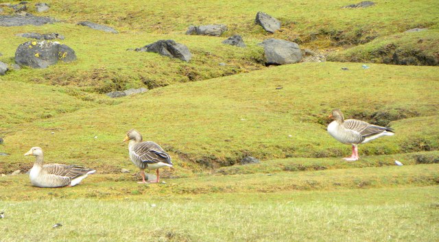
The island is a popular destination for birdwatchers, as it is home to a variety of seabirds, including puffins, guillemots, and razorbills. The surrounding waters also attract seals and dolphins, making it a great spot for wildlife enthusiasts.
Access to Eilean nan Gobhar is limited, as there are no regular boat services to the island. However, it can be reached by private boat or kayak, and visitors are advised to take necessary precautions due to the challenging sea conditions in the area.
Overall, Eilean nan Gobhar offers a unique opportunity to observe wildlife in a remote and untouched setting, making it a must-visit for nature lovers and adventurers seeking a true wilderness experience.
If you have any feedback on the listing, please let us know in the comments section below.
Eilean nan Gobhar Images
Images are sourced within 2km of 58.259937/-5.2457815 or Grid Reference NC0934. Thanks to Geograph Open Source API. All images are credited.


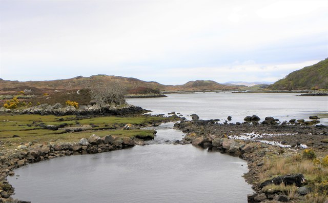

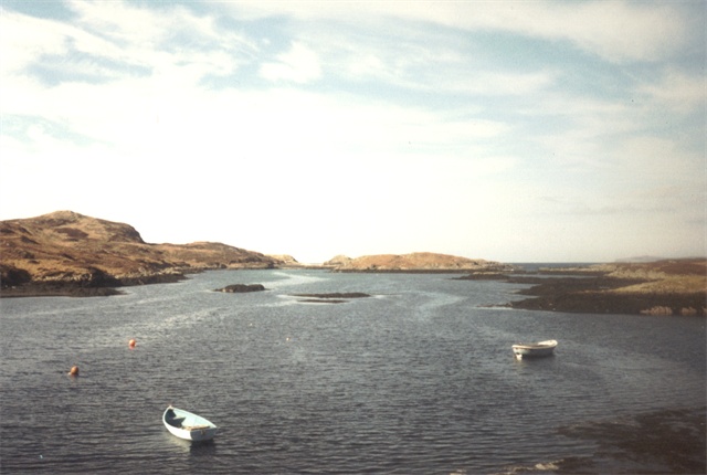
![Towards Oldany Island In the centre of the photo is the narrow channel that separates Oldany Island [right] from the mainland. I am informed that when there are low spring tides it is possible to cross at the narrowest point, but that time on Oldany is very limited before one is cut off.](https://s2.geograph.org.uk/geophotos/05/78/44/5784442_bd890c77.jpg)


Eilean nan Gobhar is located at Grid Ref: NC0934 (Lat: 58.259937, Lng: -5.2457815)
Unitary Authority: Highland
Police Authority: Highlands and Islands
What 3 Words
///directive.elders.earth. Near Clachtoll, Highland
Nearby Locations
Related Wikis

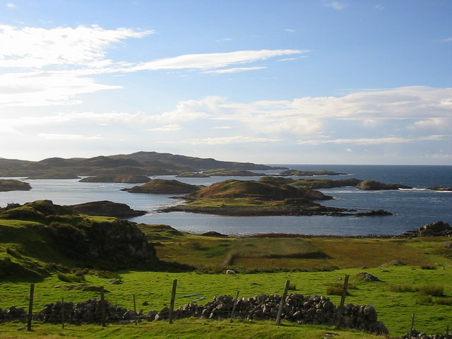
Oldany Island
Oldany Island (formerly Oldney Island) is an uninhabited island in Assynt, Sutherland, north-west Scotland. The name is Norse in origin and possibly means...

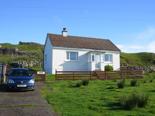
Culkein Drumbeg
Culkein Drumbeg (Scottish Gaelic: Cùl-cinn an Droma Bhig) is a remote village on the north west coast of Scotland. It is located 0.93 miles (1.50 km) north...
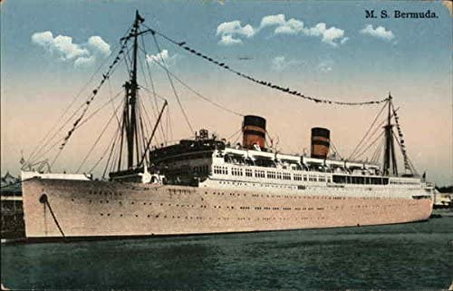
MV Bermuda
MV Bermuda was a passenger motor ship that Furness, Withy's Furness Bermuda Line operated between New York and Bermuda from 1928 until 1931. She was damaged...

Drumbeg, Sutherland
Drumbeg (Scottish Gaelic: An Druim Beag) is a remote crofting village on the north west coast of Scotland in Assynt, Sutherland, Scottish Highlands and...
Nearby Amenities
Located within 500m of 58.259937,-5.2457815Have you been to Eilean nan Gobhar?
Leave your review of Eilean nan Gobhar below (or comments, questions and feedback).