Brandis Rocks

Island in Cornwall

England

Brandis Rocks

Scrub on the cliff top on the east side of Gribbin Head In the distance is the dam and the lake at Polridmouth
Scrub on the cliff top on the east side of Gribbin Head Credit: Rod Allday

Brandis Rocks is a small island situated off the coast of Cornwall, England. It is located approximately 2 miles southwest of Land's End and is part of the Isles of Scilly archipelago. The island covers an area of around 2 acres and is uninhabited, making it a popular destination for nature enthusiasts and birdwatchers.

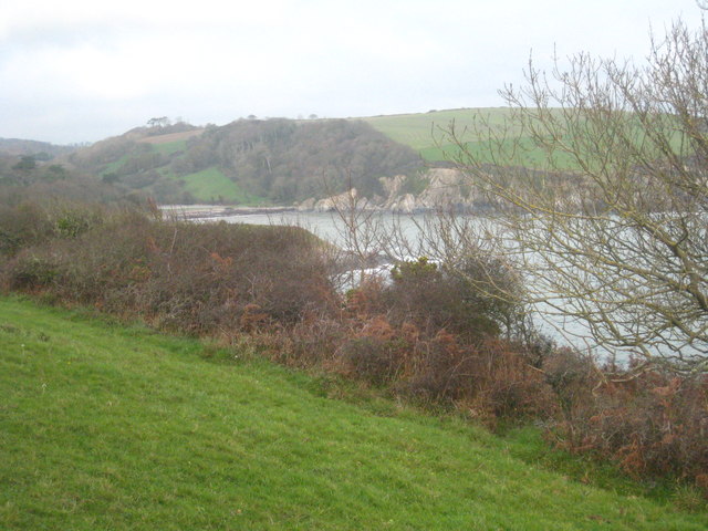
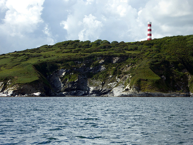
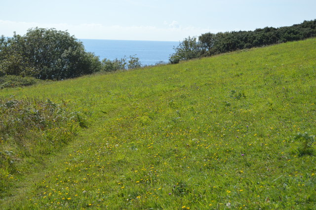
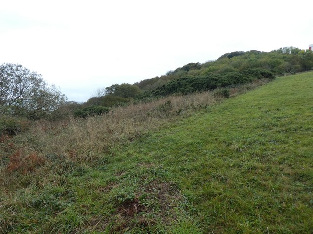
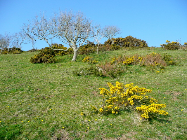
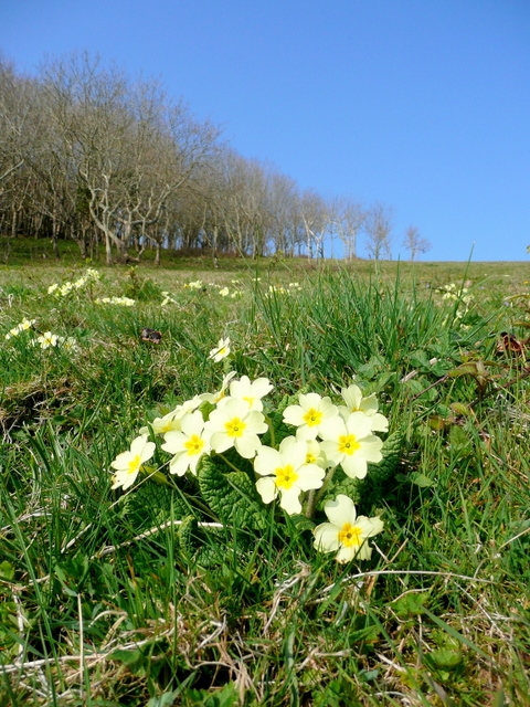
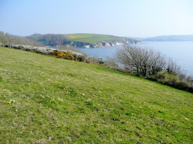
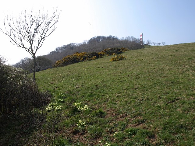
The landscape of Brandis Rocks is characterized by rugged cliffs and rocky terrain, providing a picturesque setting for visitors. The island is home to a diverse range of bird species, including puffins, razorbills, and various types of gulls. As a result, it has been designated as a Site of Special Scientific Interest (SSSI) due to its importance for breeding seabirds.

Access to Brandis Rocks is limited to boats and other watercraft. Visitors can explore the island's shoreline and observe the nesting birds from a safe distance. However, due to its size and rocky terrain, there are no designated walking trails or facilities on the island.

The surrounding waters of Brandis Rocks offer opportunities for snorkeling and diving, as the area is known for its clear waters and abundant marine life. The island is also a popular spot for fishing enthusiasts looking to catch various species of fish, including mackerel and pollock.

Overall, Brandis Rocks is a captivating island that showcases the natural beauty and wildlife of Cornwall. Its remote location and untouched landscapes make it an idyllic destination for those seeking tranquility and a connection with nature.

If you have any feedback on the listing, please let us know in the comments section below.

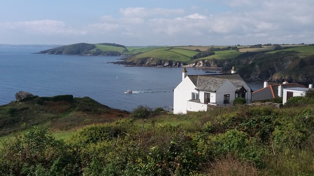
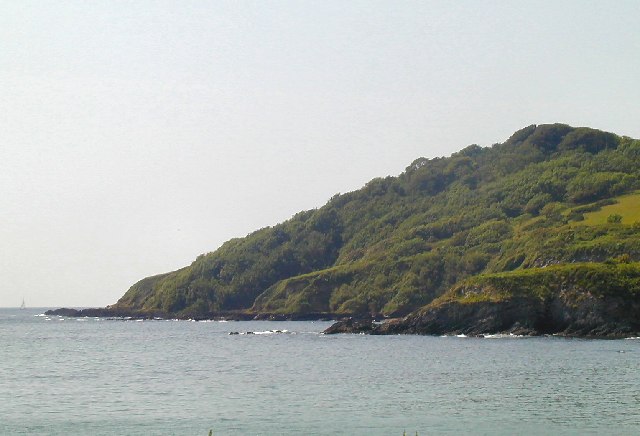
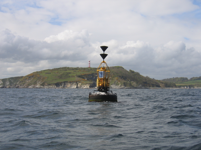
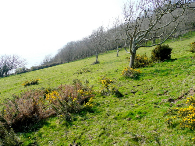
Brandis Rocks Images

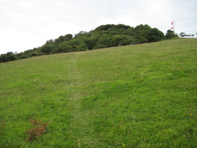
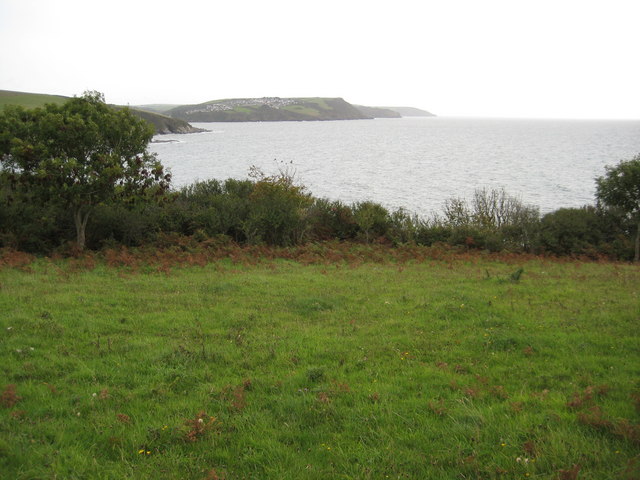
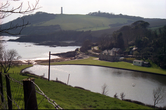
Images are sourced within 2km of 50.313548/-4.6725502 or Grid Reference SX0949. Thanks to Geograph Open Source API. All images are credited.

Scrub on the cliff top on the east side of Gribbin Head In the distance is the dam and the lake at Polridmouth
Scrub on the cliff top on the east side of Gribbin Head
In the distance is the dam and the lake at Polridmouth
Coastal Rocks at Gribbin Head These tidal rocks are on the eastern side of the headland just south of Polridmouth.
Coastal Rocks at Gribbin Head
These tidal rocks are on the eastern side of the headland just south of Polridmouth.
Cliffs on Gribbin Head Viewed from the Fowey to Mavagissey Ferry.
Cliffs on Gribbin Head
Viewed from the Fowey to Mavagissey Ferry.
Meadow, Gribbin Head
Scrub on the east side of the Gribbin Head
Gribbin Head from above Polruan
Coast near Gribbin Head Seen from the coastal footpath from Polridmouth.
Coast near Gribbin Head
Seen from the coastal footpath from Polridmouth.
Cardinal buoy for Cannis The marker buoy for the Cannis Rocks.  This underwater obstruction runs from Gribbin head out as far as this buoy although the 1:25,000 OS map only shows those parts visible at low water in the next square. The <a href="https://www.geograph.org.uk/photo/29711">SX0949 : Gribbin Daymark, Gribbin Head</a> can be seen in the background.
Cardinal buoy for Cannis
The marker buoy for the Cannis Rocks. This underwater obstruction runs from Gribbin head out as far as this buoy although the 1:25,000 OS map only shows those parts visible at low water in the next square. The SX0949 : Gribbin Daymark, Gribbin Head can be seen in the background.
Partly-wooded clifftop This is the east side of Gribbin Head, looking south.
This National Trust land is open access and the pasture is full of primroses and violets, whilst the beech woodland has bluebells and wild garlic.
Partly-wooded clifftop
This is the east side of Gribbin Head, looking south. This National Trust land is open access and the pasture is full of primroses and violets, whilst the beech woodland has bluebells and wild garlic.
Pasture at Gribbin Head This NT-owned land is on the east side of Gribbin Head.
Pasture at Gribbin Head
This NT-owned land is on the east side of Gribbin Head.
Wild primroses at Gribbin The north-west corner of the beechwood on this NT land can be seen in the distance.
Wild primroses at Gribbin
The north-west corner of the beechwood on this NT land can be seen in the distance.
Flower-rich pasture at Gribbin Looking north-east with primroses, gorse and blackthorn in flower.
Southground Point can be seen in the centre distance, and the entrance to Fowey Harbour is to the right.
Flower-rich pasture at Gribbin
Looking north-east with primroses, gorse and blackthorn in flower. Southground Point can be seen in the centre distance, and the entrance to Fowey Harbour is to the right.
Grassland slope on Gribbin Head Taken on the same day and in the same area as <a href="https://www.geograph.org.uk/photo/1231736">SX1049 : Flower-rich pasture at Gribbin</a>. <a href="https://www.geograph.org.uk/photo/1239648">SX0949 : Gribbin Tower</a> can be seen above the wood.
Grassland slope on Gribbin Head
Taken on the same day and in the same area as SX1049 : Flower-rich pasture at Gribbin. SX0949 : Gribbin Tower can be seen above the wood.
The eastern slopes of Gribbin Head The eastern slopes of Gribbin Head with the Daymarker just visible above the wood.
The eastern slopes of Gribbin Head
The eastern slopes of Gribbin Head with the Daymarker just visible above the wood.
View east from Gribbin Head View east from Gribbin Head along the Cornish coastline with Polruan visible in the middle distance.
View east from Gribbin Head
View east from Gribbin Head along the Cornish coastline with Polruan visible in the middle distance.
Daymark, Gribbin Head Day time navigation aid
Daymark, Gribbin Head
Day time navigation aid
The Gribbin Tower This daymark was erected in 1832. The seaward side is painted in red and white bands but the inland side is plain white.
The Gribbin Tower
This daymark was erected in 1832. The seaward side is painted in red and white bands but the inland side is plain white.
Gribbin Head & Tower This picture was taken from the ferry between Fowey and Mevagissey and shows Gribbin Head with its tower. The 84 feet (26 m) high square beacon tower was erected by Trinity House in 1832 to distinguish the Gribbin from Dodman Point and St Anthony’s Head, making navigation into Fowey and the harbours of St Austell Bay safer. It was never lighted, but is painted in broad red and white bands as a daymark.
Gribbin Head & Tower
This picture was taken from the ferry between Fowey and Mevagissey and shows Gribbin Head with its tower. The 84 feet (26 m) high square beacon tower was erected by Trinity House in 1832 to distinguish the Gribbin from Dodman Point and St Anthony’s Head, making navigation into Fowey and the harbours of St Austell Bay safer. It was never lighted, but is painted in broad red and white bands as a daymark.
Show me another place!

Brandis Rocks is located at Grid Ref: SX0949 (Lat: 50.313548, Lng: -4.6725502)

Unitary Authority: Cornwall

Police Authority: Devon and Cornwall

What 3 Words

///shimmered.earphones.harvest. Near Fowey, Cornwall

Related Wikis

Gribben Head

Gribbin Head (Cornish: an Gribyn) is a promontory on the south coast of Cornwall, England, UK, owned and managed by the National Trust. It separates St...
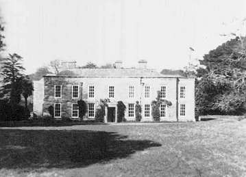
Menabilly

Menabilly (Cornish: Men Ebeli, meaning stone of colts) is a historic estate on the south coast of Cornwall, England, situated within the parish of Tywardreath...
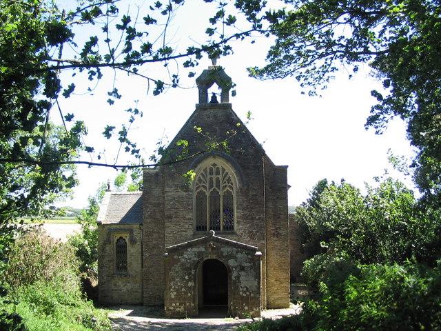
Tregaminion Church

Tregaminion Church is a Church of England church in Tregaminion, Cornwall, England, UK. The church dates to the early 19th century and is a Grade II* listed...
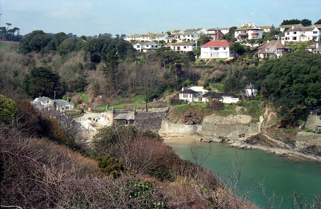
Readymoney Cove

Readymoney Cove (Cornish: Porth Mundy, meaning mineral house cove) is a sandy beach to the south of the harbour town of Fowey, Cornwall, England, United...

Nearby Amenities

Located within 500m of 50.313548,-4.6725502
Gribbin Head
Natural: cape
Source: NPE
Lat/Long: 50.3140162/-4.6728927
Source: PGS
Lat/Long: 50.3146655/-4.6754325
The Gribbin
Board Type: history
Check Date: 2022-09-09
Information: board
Tourism: information
Lat/Long: 50.3169929/-4.6731186
Bench
Backrest: yes
Survey Date: 2022-02-26
Lat/Long: 50.3159139/-4.6725904
The data included in this document is from www.openstreetmap.org. The data is made available under ODbL.

Have you been to Brandis Rocks?

Leave your review of Brandis Rocks below (or comments, questions and feedback).