Eilean Riabhach

Island in Argyllshire

Scotland

Eilean Riabhach

Private road in to Cona Glen
Private road in to Cona Glen Credit: Steven Brown

Eilean Riabhach is a small island located in Argyllshire, Scotland. It is situated in the Inner Hebrides, specifically within the Sound of Mull. The island covers an area of approximately 1.5 hectares and is uninhabited.

Eilean Riabhach is characterized by its rugged and rocky terrain, with steep cliffs and an elevation of around 40 meters above sea level. The island is predominantly covered in grasses and heather, with some scattered shrubs and wildflowers. Its remote location and untouched natural beauty make it an appealing destination for nature enthusiasts and birdwatchers.

The island is home to a variety of bird species, including puffins, razorbills, and guillemots, which use the rocky cliffs as nesting sites. Seals can also be spotted in the surrounding waters, basking on nearby rocks. Additionally, Eilean Riabhach is known for its rich marine life, with opportunities for fishing and observing dolphins and porpoises.

Access to Eilean Riabhach is mainly by boat, with ferries and private vessels providing transportation to the island. Although there are no permanent structures or facilities on the island, it is a popular spot for camping and picnicking. Visitors are advised to bring their own food, water, and camping equipment, as well as to practice responsible tourism by leaving no trace and respecting the island's fragile ecosystem.

Overall, Eilean Riabhach offers a tranquil and picturesque setting for those seeking a remote and unspoiled natural environment in the heart of Argyllshire.

If you have any feedback on the listing, please let us know in the comments section below.

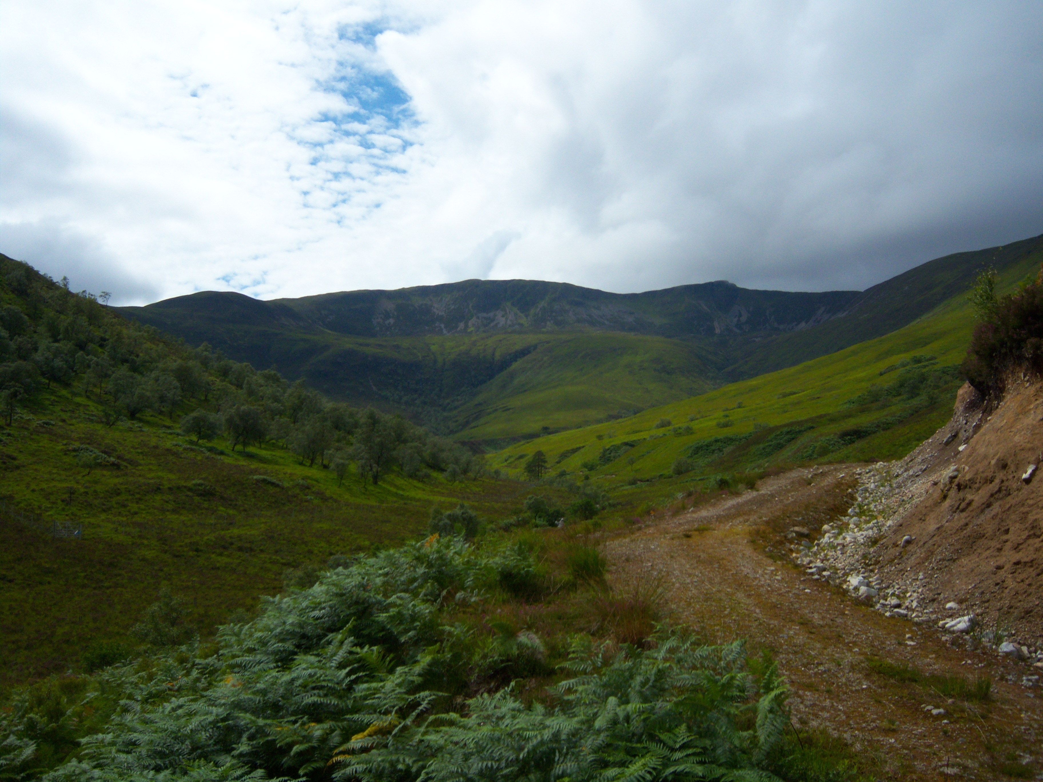
Eilean Riabhach Images

Images are sourced within 2km of 56.766392/-5.2406438 or Grid Reference NN0268. Thanks to Geograph Open Source API. All images are credited.

Private road in to Cona Glen
Track junction, Cona Glen
Man made lochan below Inverscaddle Cottage
Moorland towards Allt a' Chnaip Loch Linnhe in the far distance
Moorland towards Allt a' Chnaip
Loch Linnhe in the far distance
Allt Coire Mhàirtein Burn, Inbhir Scaddail
Allt Coire Mhàirtein
Burn, Inbhir Scaddail
Meadow, Aryhoulan At the mouth of Glen Scaddle and the Cona Glen.
Meadow, Aryhoulan
At the mouth of Glen Scaddle and the Cona Glen.
Aryhoulan new house At the junction of Glen Scaddle and the Cona Glen. I did not notice the older buildings, presumably now demolished.
Aryhoulan new house
At the junction of Glen Scaddle and the Cona Glen. I did not notice the older buildings, presumably now demolished.
Glen Scaddle road Upgraded since previous visits and work was taking place ready for removing timber from the 1980s forestry plantations mid glen.
Glen Scaddle road
Upgraded since previous visits and work was taking place ready for removing timber from the 1980s forestry plantations mid glen.
Meadow and confluence The Cona River and River Scaddle meet here. View up the Cona Glen.
Meadow and confluence
The Cona River and River Scaddle meet here. View up the Cona Glen.
Am Fasgadh Not the one that I took for my user name, that was in Glen Spean.  Meadows at the meeting of the Cona and Scaddle rivers.
Am Fasgadh
Not the one that I took for my user name, that was in Glen Spean. Meadows at the meeting of the Cona and Scaddle rivers.
Road up Glen Scaddle
River Scaddle Foam patterns in the river below a waterfall.
River Scaddle
Foam patterns in the river below a waterfall.
Waterfall, River Scaddle
View up Glen Scaddle It is a long way to the foot of Sgurr Dhomhnuill the peak in the distance.
View up Glen Scaddle
It is a long way to the foot of Sgurr Dhomhnuill the peak in the distance.
Woodland, Tom na Diollaid Birches getting established on a felled conifer block.
Woodland, Tom na Diollaid
Birches getting established on a felled conifer block.
Glen Scaddle Looking out of Glen Scaddle towards Ben Nevis.
Glen Scaddle
Looking out of Glen Scaddle towards Ben Nevis.
Start of the track to Glen Scaddle Also the start of a 20 mile walking route to Strontian. Beside the bins on the left is a re-purposed Dodgem Car.
Start of the track to Glen Scaddle
Also the start of a 20 mile walking route to Strontian. Beside the bins on the left is a re-purposed Dodgem Car.
An improved forestry track in Glen Scaddle Looking up the glen from near the junction with Cona Glen.
An improved forestry track in Glen Scaddle
Looking up the glen from near the junction with Cona Glen.
Show me another place!

Eilean Riabhach is located at Grid Ref: NN0268 (Lat: 56.766392, Lng: -5.2406438)

Unitary Authority: Highland

Police Authority: Highlands and Islands

What 3 Words

///imprints.front.chainsaw. Near Fort William, Highland

Related Wikis

Stob Coire a' Chearcaill

Stob Coire a' Chearcaill (771 m) is a mountain in the Northwest Highlands, Scotland. It lies west of Loch Linnhe in Lochaber. The peak is a familiar sight...

Inchree

Inchree (Scottish Gaelic: Innis an Ruighe) is a small hamlet, situated at the northern end of the village of Onich. It is 7 miles south of the town of...

Corran, Lochaber

Corran (Scottish Gaelic: An Corran) is a former fishing village, situated on Corran Point, on the west side of the Corran Narrows of Loch Linnhe, in Lochaber...

Corran Ferry

The Corran Ferry crosses Loch Linnhe at the Corran Narrows, south of Fort William, Scotland. == Description == Operated by Highland Council, the Corran...

Beinn na Gucaig

Beinn na Gucaig (616 m) is a mountain in the Grampian Mountains of Scotland, located south of Fort William in Lochaber. The peak takes up much of the eastern...

Druimarben

Druimarben (Scottish Gaelic: Druim Earbainn) is a hamlet on the east shore of Loch Linnhe in Inverness-shire, Scottish Highlands and is in the Scottish...

Stronchreggan

Stronchreggan (Scottish Gaelic: Sròn a' Chritheagain) is a scattered coastal hamlet, on the north eastern shores of Loch Linnhe, and is situated directly...

Ardgour

Ardgour ( ) (Scottish Gaelic: Àird Ghobhar [aːrˠʃtʲ ˈɣo.əɾ]; meaning high place of goats) is an area of the Scottish Highlands on the western shore of...

Nearby Amenities

Located within 500m of 56.766392,-5.2406438
Barrier: cattle_grid
Lat/Long: 56.7650739/-5.2429808
Barrier: cattle_grid
Source: survey
Lat/Long: 56.7642186/-5.242555
Ford: yes
Lat/Long: 56.7648497/-5.24771
Power: pole
Lat/Long: 56.7623445/-5.2414764
Material: wood
Power: pole
Lat/Long: 56.762891/-5.2423627
Material: wood
Power: pole
Lat/Long: 56.7634228/-5.2432161
Power: pole
Lat/Long: 56.7639627/-5.2441024
Power: pole
Lat/Long: 56.7644863/-5.2449558
Power: pole
Lat/Long: 56.7650295/-5.2458571
Power: pole
Lat/Long: 56.7654676/-5.2465547
Power: pole
Lat/Long: 56.7659173/-5.2472943
Power: pole
Lat/Long: 56.7664835/-5.2482106
Power: pole
Lat/Long: 56.7669733/-5.2478169
Power: pole
Lat/Long: 56.7676871/-5.247206
Power: pole
Lat/Long: 56.7683263/-5.2466835
Power: pole
Lat/Long: 56.7690688/-5.2460712
Power: pole
Lat/Long: 56.7696177/-5.24561
Power: pole
Lat/Long: 56.7704825/-5.2437236
Power: pole
Lat/Long: 56.7707007/-5.2425109
Aryhoulan
Name Gd: Àirigh Shuarlain
Place: isolated_dwelling
Lat/Long: 56.7669836/-5.246942
The data included in this document is from www.openstreetmap.org. The data is made available under ODbL.

Have you been to Eilean Riabhach?

Leave your review of Eilean Riabhach below (or comments, questions and feedback).