Ynys Dol-rhedyn
Island in Pembrokeshire
Wales
Ynys Dol-rhedyn

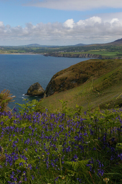
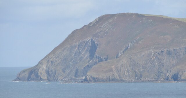
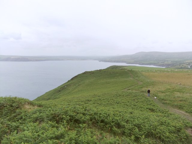
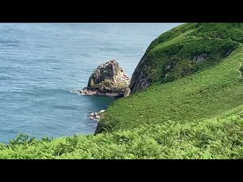
Ynys Dol-rhedyn is a small island located off the coast of Pembrokeshire, Wales. Situated in the Celtic Sea, it is part of the Skomer Island group and is known for its stunning natural beauty and wildlife. The island covers an area of approximately 40 acres and is characterized by its rugged coastline, rocky cliffs, and diverse flora and fauna.
Access to Ynys Dol-rhedyn is limited due to its protected status as a nature reserve. The island is home to a variety of bird species, including puffins, guillemots, and razorbills, making it a popular destination for birdwatching enthusiasts. Additionally, seals can often be spotted along the shores, further enhancing the island's appeal to wildlife enthusiasts.
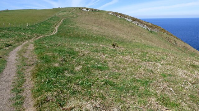
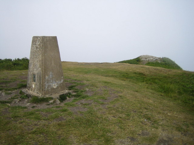
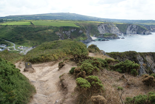
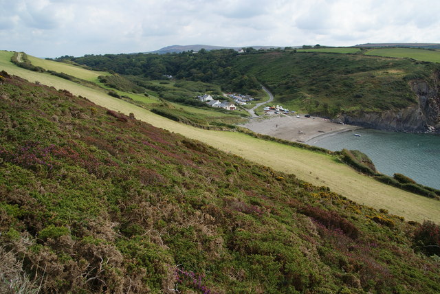
The island's terrain is primarily made up of grassy slopes and rocky outcrops, offering visitors breathtaking views of the surrounding sea and nearby islands. Ynys Dol-rhedyn also boasts a rich archaeological history, with evidence of human habitation dating back thousands of years. Ruins of ancient settlements and burial mounds can still be found on the island, providing a glimpse into its past.
Due to its protected status, visitors are required to obtain permits to visit Ynys Dol-rhedyn. This ensures the preservation of the island's fragile ecosystem and allows for controlled access to maintain its natural beauty.
If you have any feedback on the listing, please let us know in the comments section below.
Ynys Dol-rhedyn Images
Images are sourced within 2km of 52.021471/-4.8868108 or Grid Reference SN0239. Thanks to Geograph Open Source API. All images are credited.


Ynys Dol-rhedyn is located at Grid Ref: SN0239 (Lat: 52.021471, Lng: -4.8868108)
Unitary Authority: Pembrokeshire
Police Authority: Dyfed Powys
What 3 Words
///disclose.states.inner. Near Newport, Pembrokeshire
Nearby Locations
Related Wikis

Cwm-yr-Eglwys
Cwm-yr-Eglwys (English: Valley of the Church) is a hamlet in a picturesque cove on the eastern side of the Dinas Island peninsula in the community of Dinas...

Brynhenllan
Bryn-henllan, Bryn Henllan or Brynhenllan is a small settlement in the community of Dinas Cross, north Pembrokeshire, Wales, just north of the A487 road...

Cwm Dewi
Cwm Dewi is a Site of Special Scientific Interest (or SSSI) in Pembrokeshire, South Wales. It has been designated as a Site of Special Scientific Interest...

Dinas Island
Dinas Island (Welsh: Ynys Dinas) is a peninsula, partially detached from the mainland, in the community of Dinas Cross between Fishguard and Newport, Pembrokeshire...
Pwllgwaelod
Pwllgwaelod (originally Y Pwll Gwaelod, Welsh for The Bottom Cove/Creek) is a small scattered hamlet centred on a bay on the south-western side of the...

Newport Bay (Wales)
Newport Bay (Welsh: Bae Trefdraeth) is a bay on a section of the north Pembrokeshire coast, Wales, which is within the Pembrokeshire Coast National Park...

Dinas Cross
Dinas Cross (Welsh: Dinas) is both a village, a community and a former parish in Pembrokeshire, Wales. Located between Fishguard and Newport in the Pembrokeshire...

River Nevern
The River Nevern (Welsh: Afon Nyfer) is a river in Pembrokeshire, Wales. Its source is north of the village of Crymych and its length is about 11 miles...
Related Videos
Cwm yr Eglwys ⛪️
Book a holiday cottage near Cwm yr Eglwys: https://bit.ly/3NS4oPw #coast #visitwales #coastalcottages #pembrokeshire #travel ...

Listen to the sounds of this wonderful Welsh waterfall 😍
coast #visitwales #coastalcottages #pembrokeshire #travel #wales #visitpembrokeshire #holiday #beach #aberfforest #waterfall ...

Castle Inn , Newport Pembrokeshire South Wales
A Charming Welsh Escape: Castle Inn, Newport Pembrokeshire, South Wales. When it comes to exploring the hidden gems of the ...
Walk around Dinas Head, Pembrokeshire
A walk around Dinas Head in Pembrokeshire, South Wales #nationaltrust #pembrokeshire #southwales #DinasCross #walking ...
Nearby Amenities
Located within 500m of 52.021471,-4.8868108Have you been to Ynys Dol-rhedyn?
Leave your review of Ynys Dol-rhedyn below (or comments, questions and feedback).