Traeth Gwyndwn-mawr
Bay in Pembrokeshire
Wales
Traeth Gwyndwn-mawr

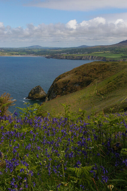
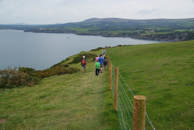
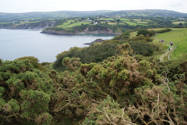
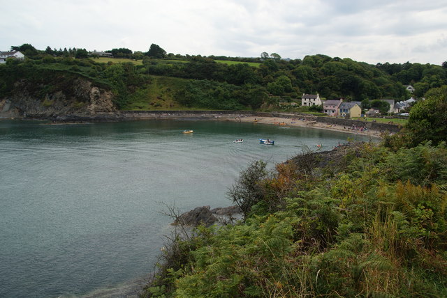
Traeth Gwyndwn-mawr, located in Pembrokeshire, Wales, is a picturesque bay known for its stunning natural beauty. Stretching along the west coast of Wales, this bay offers visitors a tranquil and idyllic retreat.
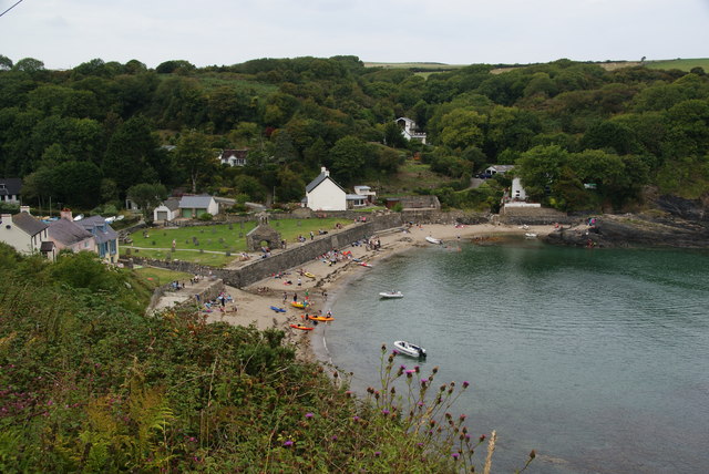
The bay is characterized by its pristine sandy beach, which extends for approximately 1.5 kilometers, providing ample space for sunbathing, beach games, and leisurely walks along the shore. The sand is soft and golden, making it a perfect spot for families to relax and unwind.
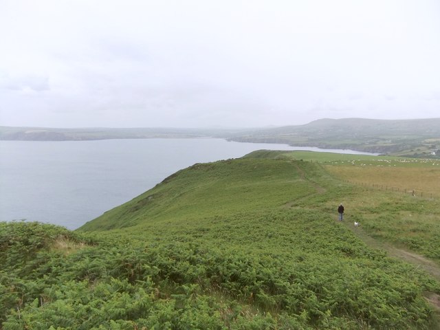
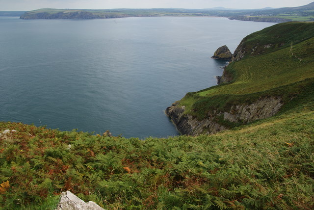
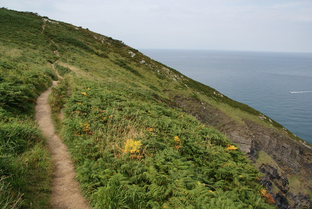
Surrounded by rolling hills and lush greenery, Traeth Gwyndwn-mawr offers breathtaking panoramic views of the surrounding countryside. The bay is also home to a variety of wildlife, including seabirds, seals, and occasionally dolphins, making it a popular spot for birdwatching and wildlife enthusiasts.
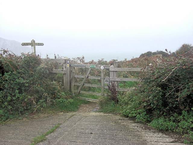
The bay is well-equipped with facilities to cater to visitors' needs. There are car parking spaces available nearby, as well as public toilets and picnic areas. It is important to note that there are no lifeguards on duty at Traeth Gwyndwn-mawr, so caution should be exercised when swimming or participating in water activities.
Traeth Gwyndwn-mawr is also an excellent location for water sports enthusiasts. The bay's calm waters make it suitable for kayaking, paddleboarding, and even windsurfing. Fishing is also a popular activity in the area, with plenty of opportunities to catch various species of fish.
Overall, Traeth Gwyndwn-mawr is a serene and captivating bay, offering visitors a perfect blend of natural beauty and recreational activities. Whether you are seeking relaxation, wildlife exploration, or outdoor adventures, this bay is sure to provide an unforgettable experience.
If you have any feedback on the listing, please let us know in the comments section below.
Traeth Gwyndwn-mawr Images
Images are sourced within 2km of 52.020537/-4.8827127 or Grid Reference SN0239. Thanks to Geograph Open Source API. All images are credited.


Traeth Gwyndwn-mawr is located at Grid Ref: SN0239 (Lat: 52.020537, Lng: -4.8827127)
Unitary Authority: Pembrokeshire
Police Authority: Dyfed Powys
What 3 Words
///dormant.combining.gurgling. Near Newport, Pembrokeshire
Nearby Locations
Related Wikis

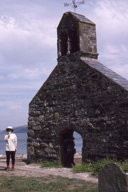
Cwm-yr-Eglwys
Cwm-yr-Eglwys (English: Valley of the Church) is a hamlet in a picturesque cove on the eastern side of the Dinas Island peninsula in the community of Dinas...

Brynhenllan
Bryn-henllan, Bryn Henllan or Brynhenllan is a small settlement in the community of Dinas Cross, north Pembrokeshire, Wales, just north of the A487 road...

Cwm Dewi
Cwm Dewi is a Site of Special Scientific Interest (or SSSI) in Pembrokeshire, South Wales. It has been designated as a Site of Special Scientific Interest...

Dinas Island
Dinas Island (Welsh: Ynys Dinas) is a peninsula, partially detached from the mainland, in the community of Dinas Cross between Fishguard and Newport, Pembrokeshire...
Pwllgwaelod
Pwllgwaelod (originally Y Pwll Gwaelod, Welsh for The Bottom Cove/Creek) is a small scattered hamlet centred on a bay on the south-western side of the...

Newport Bay (Wales)
Newport Bay (Welsh: Bae Trefdraeth) is a bay on a section of the north Pembrokeshire coast, Wales, which is within the Pembrokeshire Coast National Park...

Dinas Cross
Dinas Cross (Welsh: Dinas) is both a village, a community and a former parish in Pembrokeshire, Wales. Located between Fishguard and Newport in the Pembrokeshire...

River Nevern
The River Nevern (Welsh: Afon Nyfer) is a river in Pembrokeshire, Wales. Its source is north of the village of Crymych and its length is about 11 miles...
Nearby Amenities
Located within 500m of 52.020537,-4.8827127Have you been to Traeth Gwyndwn-mawr?
Leave your review of Traeth Gwyndwn-mawr below (or comments, questions and feedback).