Eilean Uaine

Island in Argyllshire

Scotland

Eilean Uaine

All terrain vehicle track below Creag Maoile
All terrain vehicle track below Creag Maoile Credit: Alan Reid

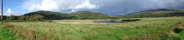
Eilean Uaine, also known as the Green Isle, is a small island located in Argyllshire, Scotland. Situated in the Inner Hebrides, it is part of a group of islands known as the Slate Islands. Eilean Uaine is approximately 1.6 kilometers long and 0.8 kilometers wide, with a total land area of about 0.64 square kilometers.

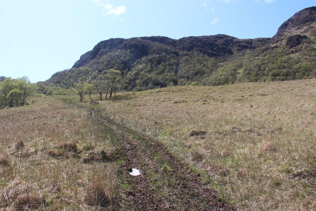
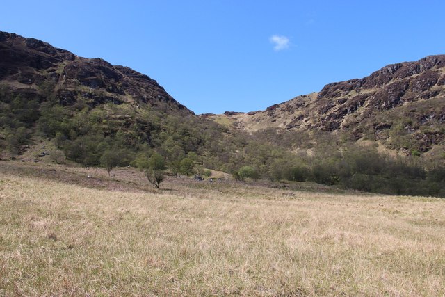
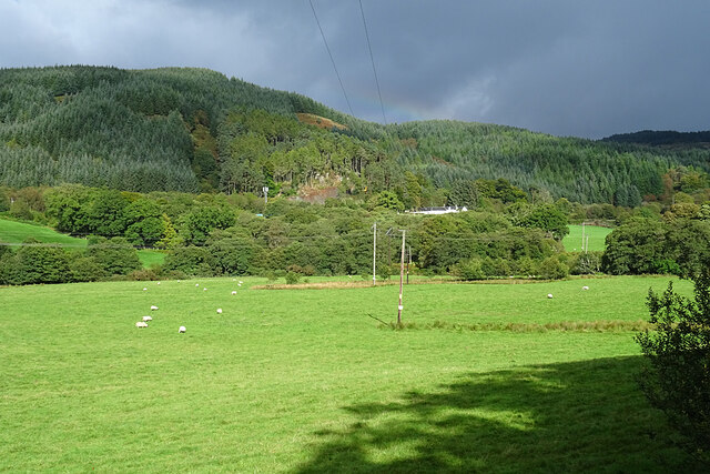
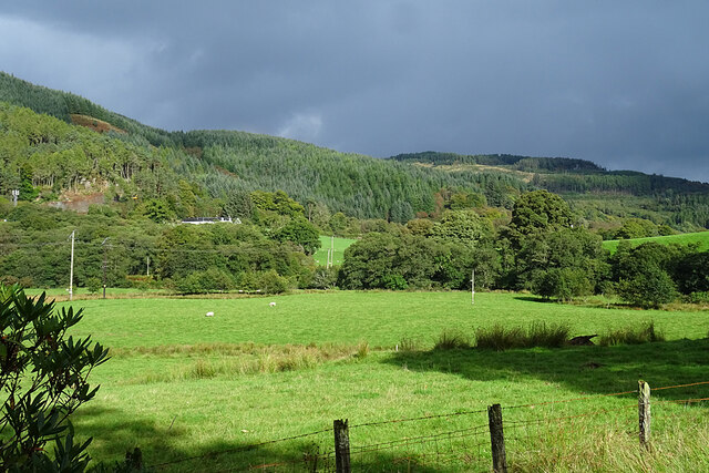
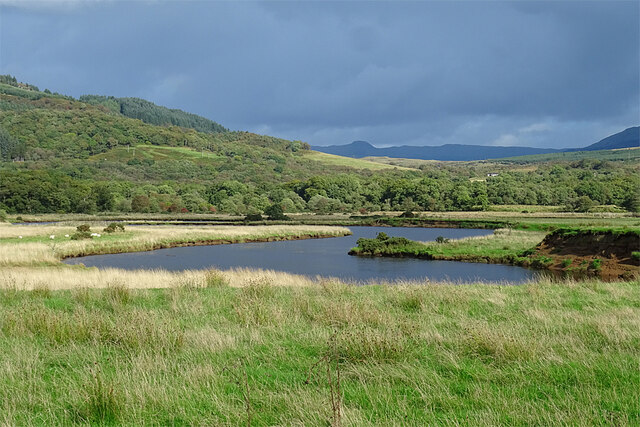
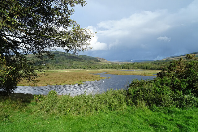
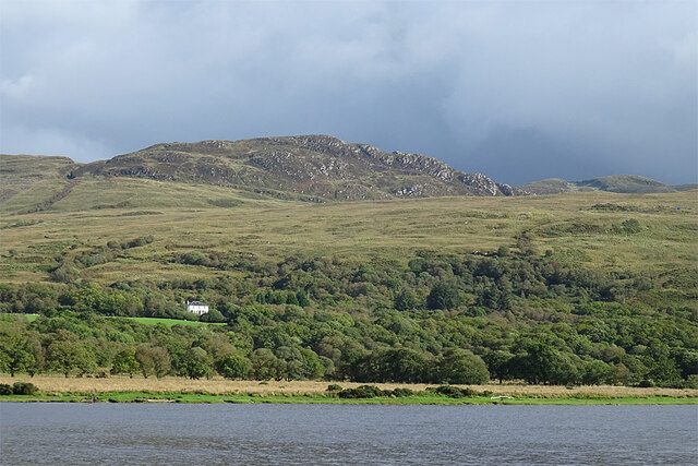
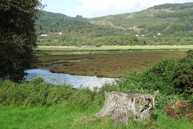
The island gets its name from the lush green vegetation that covers its landscape, providing a picturesque view for visitors. Eilean Uaine is known for its rugged coastline, rocky cliffs, and stunning views of the surrounding sea and neighboring islands.

Despite its small size, the island has a rich history. It was once inhabited by a small community, evidenced by the ruins of old stone buildings and walls scattered across the island. Eilean Uaine was primarily used for farming and fishing, with locals relying on the sea and fertile land for sustenance.

Today, the island remains uninhabited, making it a peaceful retreat for nature enthusiasts and those seeking solitude. Visitors can explore the island's natural beauty, observe various bird species, and enjoy walking along the coastal paths. The surrounding waters offer opportunities for fishing, kayaking, and even diving, as the area is known for its diverse marine life.

Access to Eilean Uaine is typically by boat, with regular ferry services operating from nearby towns. The island's serene atmosphere and unspoiled landscapes make it a hidden gem for those wanting to experience the tranquility of the Scottish islands.

If you have any feedback on the listing, please let us know in the comments section below.
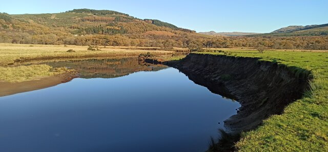
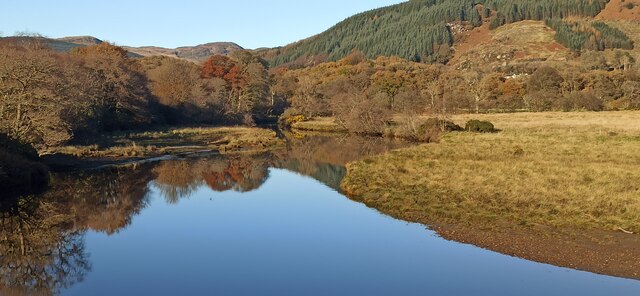
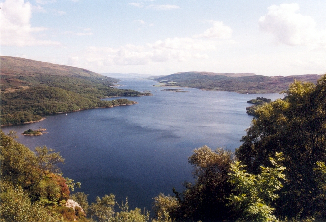
Eilean Uaine Images

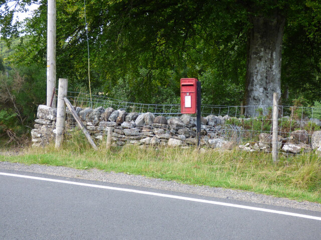
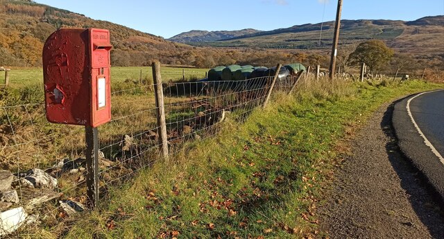
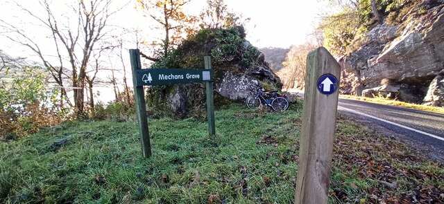
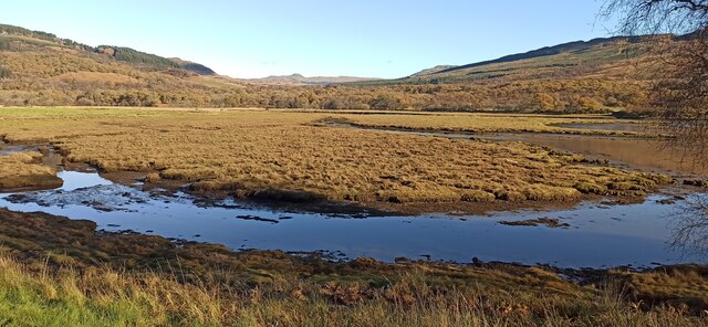
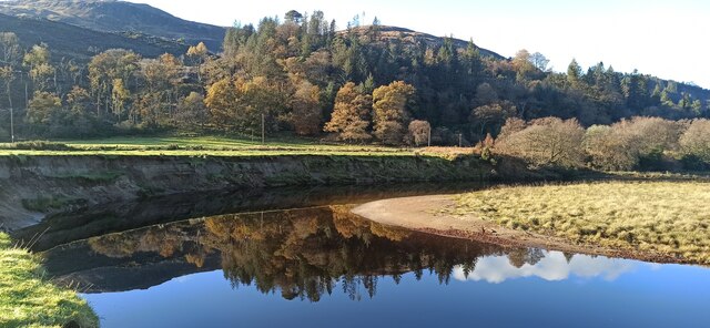
Images are sourced within 2km of 55.980849/-5.1867658 or Grid Reference NS0181. Thanks to Geograph Open Source API. All images are credited.

All terrain vehicle track below Creag Maoile
East face of Creag Mheadhonach A broad shelf of rough pasture leads into the wooded slopes. Buzzard country.
East face of Creag Mheadhonach
A broad shelf of rough pasture leads into the wooded slopes. Buzzard country.
The A8003 road near Ormidale Nearing the north end of the road.
The A8003 road near Ormidale
Nearing the north end of the road.
Postbox at Ormidale By the side of the A8003 road. See also <a href="https://www.geograph.org.uk/photo/6972784">NS0081 : Postbox at Ormidale</a>.
Postbox at Ormidale
By the side of the A8003 road. See also NS0081 : Postbox at Ormidale.
Postbox at Ormidale By the side of the A8003 road. See also <a href="https://www.geograph.org.uk/photo/6972782">NS0081 : Postbox at Ormidale</a>.
Postbox at Ormidale
By the side of the A8003 road. See also NS0081 : Postbox at Ormidale.
Haugh Land in Glen Daruel Haugh is the Scots word for a water meadow. This one lies beside the River Ruel.
Haugh Land in Glen Daruel
Haugh is the Scots word for a water meadow. This one lies beside the River Ruel.
Fields at Ormidale Fertile haugh land beside the River Ruel at Ormidale.
Fields at Ormidale
Fertile haugh land beside the River Ruel at Ormidale.
River Ruel The River Ruel meanders across flat ground shortly before it reaches the sea.
River Ruel
The River Ruel meanders across flat ground shortly before it reaches the sea.
Glen Daruel A 'panoramic' view of the final meanders of the River Ruel.
Glen Daruel
A 'panoramic' view of the final meanders of the River Ruel.
Salt Marsh Salt marsh at the head of Loch Riddon where the River Ruel enters the sea.
Salt Marsh
Salt marsh at the head of Loch Riddon where the River Ruel enters the sea.
Ardachuple Lodge Viewed from the west side of Loch Ruel.
Ardachuple Lodge
Viewed from the west side of Loch Ruel.
River Ruel The River Ruel meanders past saltmarsh and rushes in its final reach.
River Ruel
The River Ruel meanders past saltmarsh and rushes in its final reach.
Postbox at South Lodge By the side of the road near South Lodge.
Postbox at South Lodge
By the side of the road near South Lodge.
Sign for Mechan's Grave By the side of the A8003 road. The grave itself is on the shore of Loch Riddon.
Sign for Mechan's Grave
By the side of the A8003 road. The grave itself is on the shore of Loch Riddon.
The head of Loch Riddon  Salt marsh at the head of the Loch.
The head of Loch Riddon
Salt marsh at the head of the Loch.
Meander on the River Ruel Looking upstream, with recently fallen grass clumps visible on the cliff face.
Meander on the River Ruel
Looking upstream, with recently fallen grass clumps visible on the cliff face.
Meander on the River Ruel Looking downstream from the apex of the meander.
Meander on the River Ruel
Looking downstream from the apex of the meander.
Meander on the River Ruel Looking upstream from the apex of the meander.
Meander on the River Ruel
Looking upstream from the apex of the meander.
Show me another place!

Eilean Uaine is located at Grid Ref: NS0181 (Lat: 55.980849, Lng: -5.1867658)

Unitary Authority: Argyll and Bute

Police Authority: Argyll and West Dunbartonshire

What 3 Words

///arching.falls.asked. Near Sandbank, Argyll & Bute

Related Wikis

Auchenbreck Castle

Auchenbreck Castle (also spelt Auchinbreck) is located in Argyll and Bute, Scotland. Its remains are situated in Kilmodan parish, near the mouth of Glendaruel...

Loch Ruel

Loch Ruel or Loch Riddon; extends north from the Kyles of Bute and is a sea loch in Argyll and Bute, Scotland. == See also == River Ruel == References... ==

Glendaruel

Glendaruel (Gaelic: Gleann Dà Ruadhail) is a glen in the Cowal peninsula in Argyll and Bute, Scotland. The main settlement in Glendaruel is the Clachan...

Eilean Dearg, Loch Ruel

Eilean Dearg is a small island in Loch Ruel (or Loch Riddon) in Argyll, Scotland. The island was once home to a castle, which was destroyed by naval action...

Nearby Amenities

Located within 500m of 55.980849,-5.1867658
Created By: dmgroom_coastlines
Source: PGS
Lat/Long: 55.979283/-5.193773
Source: PGS
Lat/Long: 55.9796848/-5.1937752
Source: PGS
Lat/Long: 55.9801533/-5.1940735
Source: PGS
Lat/Long: 55.9808733/-5.1939179
Source: PGS
Lat/Long: 55.9811023/-5.1925254
Source: PGS
Lat/Long: 55.9814132/-5.191003
Source: PGS
Lat/Long: 55.9816743/-5.18987
Source: PGS
Lat/Long: 55.9823701/-5.1885349
Source: PGS
Lat/Long: 55.9828732/-5.1870429
Source: PGS
Lat/Long: 55.9797568/-5.1881222
Source: PGS
Lat/Long: 55.9793123/-5.1890203
Created By: dmgroom_coastlines
Source: PGS
Lat/Long: 55.978209/-5.189371
Source: PGS
Lat/Long: 55.9777366/-5.1891672
Source: PGS
Lat/Long: 55.9772239/-5.18859
Source: PGS
Lat/Long: 55.9770366/-5.1885149
Source: PGS
Lat/Long: 55.9765216/-5.1870429
Source: PGS
Lat/Long: 55.9764225/-5.1867822
Passing Place
Lat/Long: 55.9812408/-5.1943447
The data included in this document is from www.openstreetmap.org. The data is made available under ODbL.

Have you been to Eilean Uaine?

Leave your review of Eilean Uaine below (or comments, questions and feedback).