Eilean an Daraich

Island in Argyllshire

Scotland

Eilean an Daraich

Felled conifers, Glen Scaddle
Felled conifers, Glen Scaddle Credit: Richard Webb

The requested URL returned error: 429 Too Many Requests

If you have any feedback on the listing, please let us know in the comments section below.

Eilean an Daraich Images

Images are sourced within 2km of 56.769788/-5.2541805 or Grid Reference NN0168. Thanks to Geograph Open Source API. All images are credited.

Felled conifers, Glen Scaddle
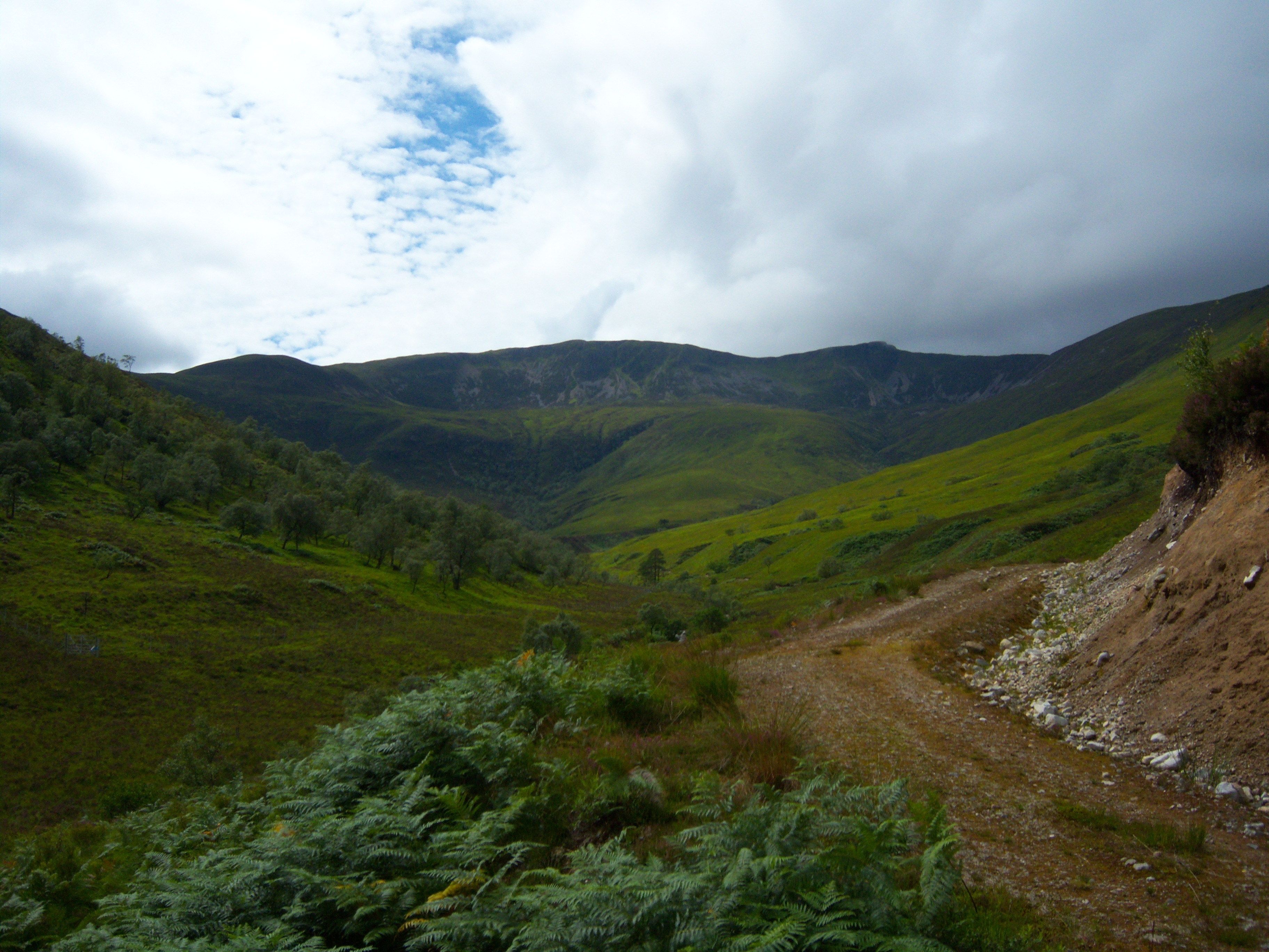
Road, Glen Scaddle Improved for timber haulage.
Road, Glen Scaddle
Improved for timber haulage.
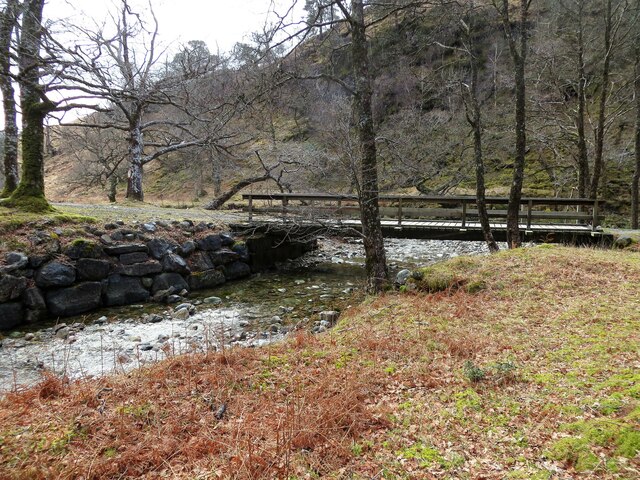
Beside the river, Glen Scaddle
Creag Mhòr The steep wooded southern side of Glen Scaddle
Creag Mhòr
The steep wooded southern side of Glen Scaddle
Track in Glen Scaddle An estate road running up Glen Scaddle. The river is flanked mainly by alder but there are some oaks here as well.
Track in Glen Scaddle
An estate road running up Glen Scaddle. The river is flanked mainly by alder but there are some oaks here as well.
River Scaddle Tree lined river in Glen Scaddle.
River Scaddle
Tree lined river in Glen Scaddle.
Private road in to Cona Glen
Track junction, Cona Glen
Bridge and ford over Allt a' Chnaip
Road up Cona Glen
Road up Cona Glen
Man made lochan below Inverscaddle Cottage
Bridge over Allt a' Chnaip
Waterfall on Allt a' Chnaip
Allt a' Choire Leith and Allt a' Chnaip unite to become one
Moorland towards Allt a' Chnaip Loch Linnhe in the far distance
Moorland towards Allt a' Chnaip
Loch Linnhe in the far distance
Allt Coire Mhàirtein Burn, Inbhir Scaddail
Allt Coire Mhàirtein
Burn, Inbhir Scaddail
Meadow, Aryhoulan At the mouth of Glen Scaddle and the Cona Glen.
Meadow, Aryhoulan
At the mouth of Glen Scaddle and the Cona Glen.
Aryhoulan new house At the junction of Glen Scaddle and the Cona Glen. I did not notice the older buildings, presumably now demolished.
Aryhoulan new house
At the junction of Glen Scaddle and the Cona Glen. I did not notice the older buildings, presumably now demolished.
Show me another place!

Eilean an Daraich is located at Grid Ref: NN0168 (Lat: 56.769788, Lng: -5.2541805)

Unitary Authority: Highland

Police Authority: Highlands and Islands

What 3 Words

///suppers.perfumed.denser. Near Fort William, Highland

Related Wikis

Stob Coire a' Chearcaill

Stob Coire a' Chearcaill (771 m) is a mountain in the Northwest Highlands, Scotland. It lies west of Loch Linnhe in Lochaber. The peak is a familiar sight...

Inchree

Inchree (Scottish Gaelic: Innis an Ruighe) is a small hamlet, situated at the northern end of the village of Onich. It is 7 miles south of the town of...

Corran, Lochaber

Corran (Scottish Gaelic: An Corran) is a former fishing village, situated on Corran Point, on the west side of the Corran Narrows of Loch Linnhe, in Lochaber...

Corran Ferry

The Corran Ferry crosses Loch Linnhe at the Corran Narrows, south of Fort William, Scotland. == Description == Operated by Highland Council, the Corran...

Nearby Amenities

Located within 500m of 56.769788,-5.2541805
Power: pole
Lat/Long: 56.7669733/-5.2478169
Power: pole
Lat/Long: 56.7676871/-5.247206
Power: pole
Lat/Long: 56.7683263/-5.2466835
Inverscaddle
Name Gd: Inbhir Scaddail
Place: hamlet
Lat/Long: 56.7703282/-5.2463132
The data included in this document is from www.openstreetmap.org. The data is made available under ODbL.

Have you been to Eilean an Daraich?

Leave your review of Eilean an Daraich below (or comments, questions and feedback).