Cadycrowse Rock
Island in Cornwall
England
Cadycrowse Rock

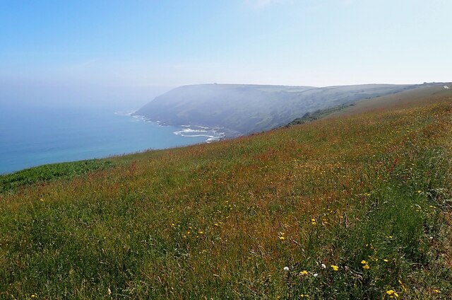
Cadycrowse Rock is a small, uninhabited island located off the coast of Cornwall, England. Situated in the Celtic Sea, it lies approximately 1.5 kilometers south of St Michael's Mount, near the town of Marazion. The island is a prominent feature of the landscape and is visible from various viewpoints along the coastline.
Measuring around 150 meters in length and 50 meters in width, Cadycrowse Rock is composed primarily of granite, a characteristic geological formation in the region. The island is surrounded by treacherous waters, with strong currents and submerged rocks posing a significant hazard to passing boats. Consequently, it is inaccessible to visitors, and public access is strictly prohibited.
Despite its small size, Cadycrowse Rock plays an important role in supporting local wildlife. The island is a designated Site of Special Scientific Interest, providing a sanctuary for various seabird species, including cormorants, shags, and gulls. These birds use the rock as a nesting site and forage in the surrounding waters, benefiting from the rich marine ecosystem.
The isolation of Cadycrowse Rock contributes to its untouched beauty, with its rugged cliffs and natural rock formations providing a habitat for diverse flora and fauna. The island's remote location also adds to its mystical appeal and has inspired local folklore and legends over the years.
Overall, Cadycrowse Rock is a striking natural landmark in Cornwall, contributing to the region's rich coastal environment and serving as a vital sanctuary for local seabird populations.
If you have any feedback on the listing, please let us know in the comments section below.
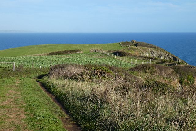
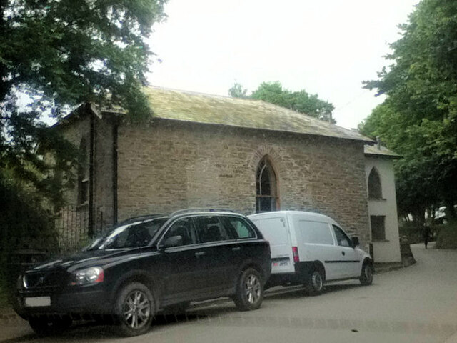
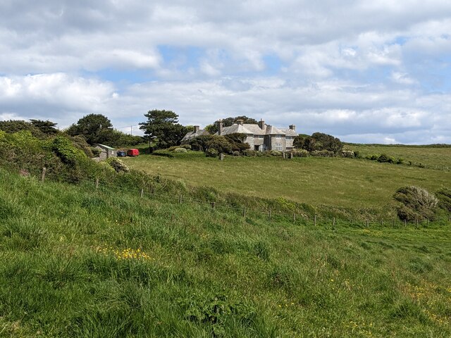
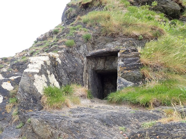
Cadycrowse Rock Images
Images are sourced within 2km of 50.240647/-4.7856419 or Grid Reference SX0141. Thanks to Geograph Open Source API. All images are credited.


Cadycrowse Rock is located at Grid Ref: SX0141 (Lat: 50.240647, Lng: -4.7856419)
Unitary Authority: Cornwall
Police Authority: Devon and Cornwall
What 3 Words
///expand.adding.surcharge. Near Mevagissey, Cornwall
Related Wikis
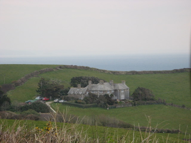
Lamledra
Lamledra is a house near Gorran Haven in Cornwall, England, UK. It is situated immediately above Vault Beach. It was built in 1911 by the barrister, John...
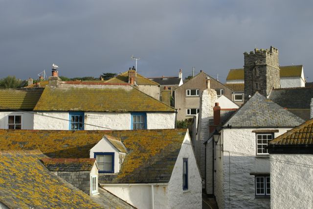
Gorran Haven
Gorran Haven (Cornish: Porthust) is a fishing village, in the civil parish of St Goran, on the south coast of Cornwall, England, UK. It is about 2 miles...

Vault Beach
Vault Beach (also Bow Beach) is situated on the south coast of Cornwall, England, UK, near Gorran Haven. The beach consists mainly of shingle but does...

Gorran Churchtown
Gorran Churchtown is a village in the parish of St Goran (where the 2011 census population was included ), Cornwall, England. Gorran Churchtown is situated...
Related Videos
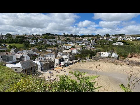
Gorran Haven, nr Mevagissey to Dodman Point - "Two dogs wide!" A summer walk in Cornwall.
In this video we visit Gorran Haven and try a 4 mile circular walk which takes us to Dodman Point one of Cornwall's most ...
A Holiday Park Like No Other | Seaview Gorran Haven
Discover a whole new world at Seaview Gorran Haven. Surrounded by the sea and countryside, it truly is a holiday park like no ...

Discover the Luxury Holiday Park Lifestyle | Seaview Gorran Haven
Are you thinking about acquiring a second holiday home in Cornwall? If so, then look no further than Seaview Gorran Haven!

Nearby Amenities
Located within 500m of 50.240647,-4.7856419Have you been to Cadycrowse Rock?
Leave your review of Cadycrowse Rock below (or comments, questions and feedback).