Auchenbreck Wood
Wood, Forest in Argyllshire
Scotland
Auchenbreck Wood
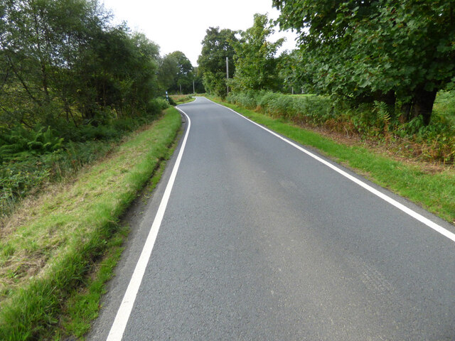
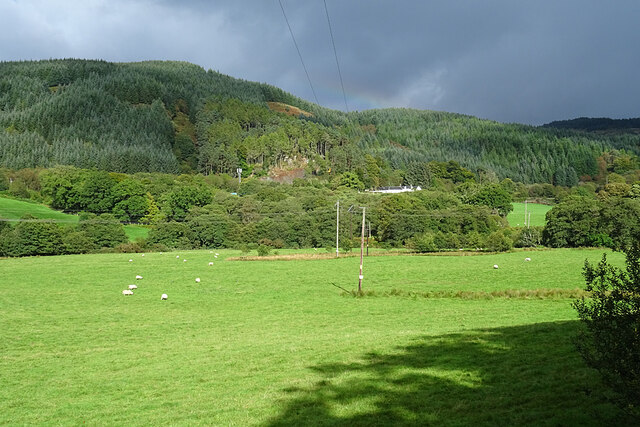
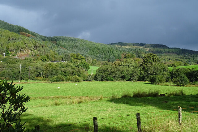
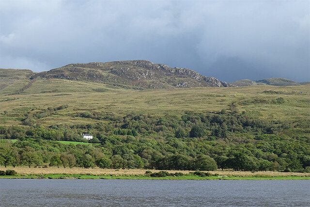
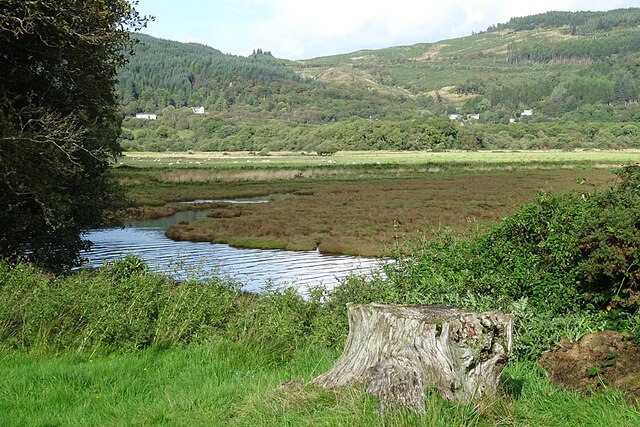
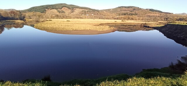
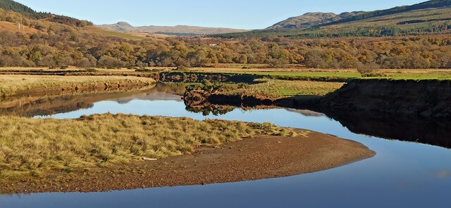
Auchenbreck Wood is a picturesque forest located in Argyllshire, Scotland. Spanning approximately 100 acres, it is nestled amidst the breathtaking landscape of the Scottish Highlands. The wood is situated near the village of Strachur, making it easily accessible for locals and visitors alike.
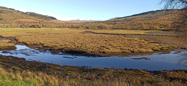
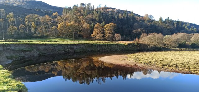
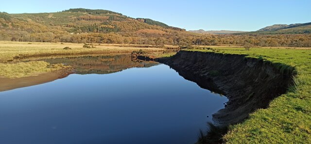
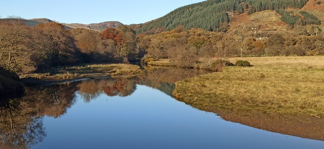
Auchenbreck Wood is characterized by its diverse range of tree species, including oak, birch, beech, and Scots pine. These majestic trees create a dense canopy, providing a tranquil and shaded environment for visitors to explore. The forest floor is covered in a rich carpet of ferns, mosses, and wildflowers, adding to the enchanting atmosphere.
The wood is crisscrossed by a network of walking trails, allowing nature enthusiasts and hikers to immerse themselves in the beauty of their surroundings. As visitors wander through the forest, they may encounter various wildlife species such as red squirrels, deer, and a variety of bird species including woodpeckers and owls.
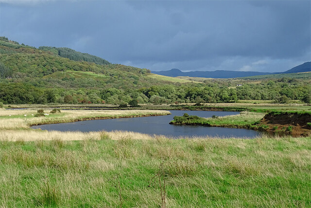
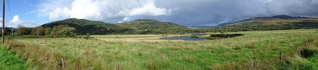
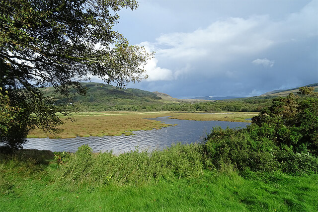
The wood also features a small stream that meanders through its heart, adding to its natural charm. This stream provides a habitat for numerous aquatic creatures and adds to the overall tranquility of the woodland setting.
Auchenbreck Wood offers a peaceful retreat for those seeking solace in nature. Its well-maintained trails, diverse flora, and fauna, and scenic beauty make it a popular destination for outdoor enthusiasts, photographers, and nature lovers. Whether one seeks a leisurely stroll, a picnic spot, or a place to reconnect with nature, Auchenbreck Wood is sure to provide a memorable experience in the heart of Argyllshire.
If you have any feedback on the listing, please let us know in the comments section below.
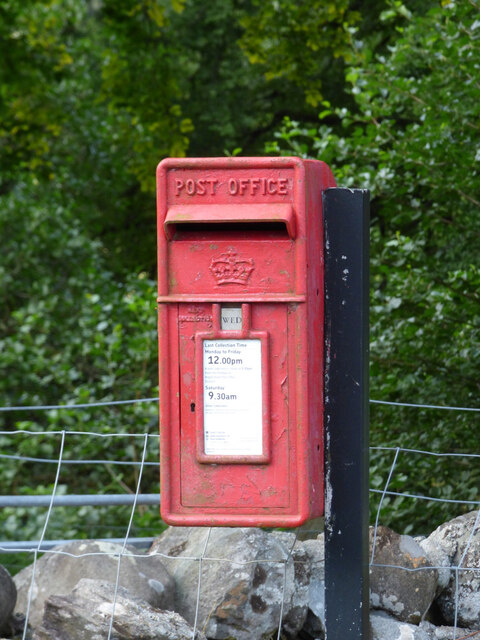
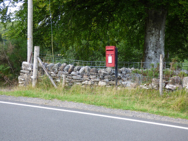
Auchenbreck Wood Images
Images are sourced within 2km of 55.982889/-5.1815778 or Grid Reference NS0181. Thanks to Geograph Open Source API. All images are credited.
Auchenbreck Wood is located at Grid Ref: NS0181 (Lat: 55.982889, Lng: -5.1815778)
Unitary Authority: Argyll and Bute
Police Authority: Argyll and West Dunbartonshire
What 3 Words
///cookery.dreamers.latest. Near Sandbank, Argyll & Bute
Nearby Locations
Related Wikis

Auchenbreck Castle
Auchenbreck Castle; (or Auchinbreck) is located in Argyll and Bute, Scotland. Its remains are situated in Kilmodan parish, near the mouth of Glendaruel...

Glendaruel
Glendaruel (Gaelic: Gleann Dà Ruadhail) is a glen in the Cowal peninsula in Argyll and Bute, Scotland. The main settlement in Glendaruel is the Clachan...

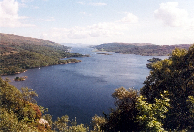
Loch Ruel
Loch Ruel or Loch Riddon; extends north from the Kyles of Bute and is a sea loch in Argyll and Bute, Scotland. == See also == River Ruel == References... ==
Eilean Dearg, Loch Ruel
Eilean Dearg is a small island in Loch Ruel (or Loch Riddon) in Argyll, Scotland. The island was once home to a castle, which was destroyed by naval action...
Ardtaraig
Ardtaraig is a hamlet lying at the head of Loch Striven on the Cowal peninsula, Argyll and Bute, West of Scotland. The hamlet is on the single track B836...

Eilean Dubh, Kyles of Bute
This particular Eilean Dubh (Scottish Gaelic: Black Island) is sometimes known as Glen Caladh Island and lies just off the Cowal peninsula in the Kyles...

Kyles of Bute
The Kyles of Bute (Scottish Gaelic: Na Caoil Bhòdach) form a narrow sea channel that separates the northern end of the Isle of Bute from the Cowal peninsula...

Burnt Islands
The Burnt Islands (Scottish Gaelic: Na h-Eileanan Loisgte) are three small islands that lie in the Kyles of Bute, on the Cowal Peninsula, Argyll and Bute...
Nearby Amenities
Located within 500m of 55.982889,-5.1815778Have you been to Auchenbreck Wood?
Leave your review of Auchenbreck Wood below (or comments, questions and feedback).