Eileach an Naoimh
Island in Argyllshire
Scotland
Eileach an Naoimh
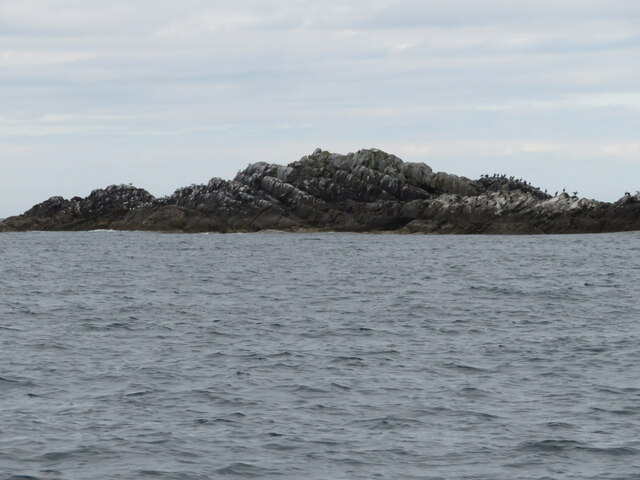
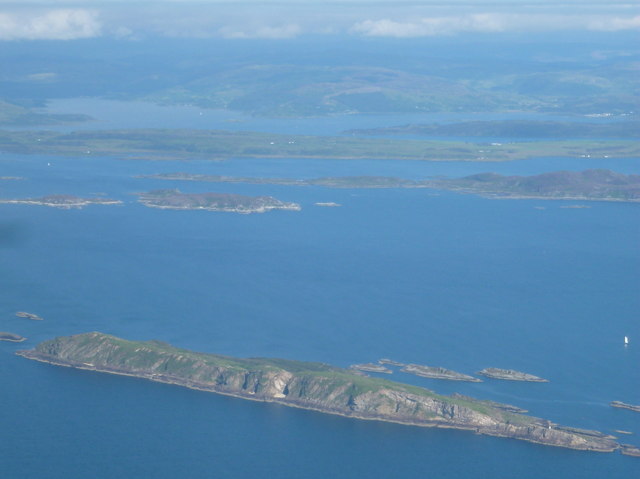
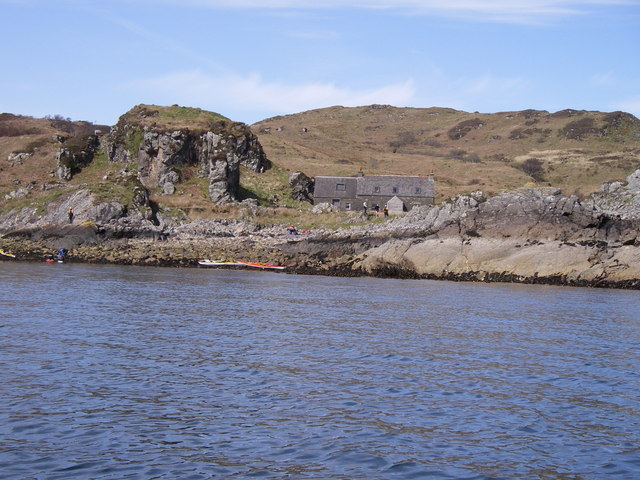
![Eileach an Naoimh The southern end of the southernmost Garvellach Islands. To the right of centre is a small light, which does not seem to be mainstream light, but is maintained as a tourist attraction [!] by the Northern Lighthouse Board.](https://s0.geograph.org.uk/geophotos/06/93/63/6936312_b4a6f209.jpg)
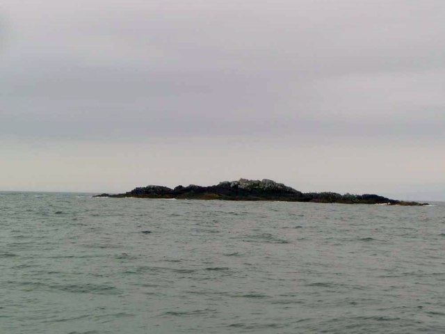
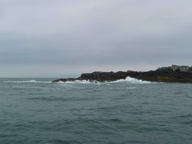
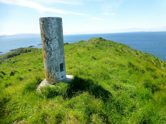
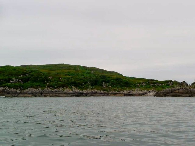
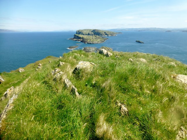
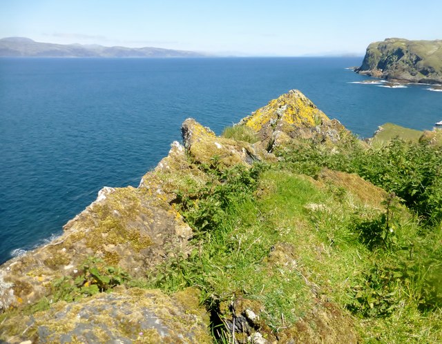
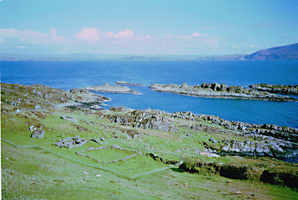
Eileach an Naoimh is a small uninhabited island located in the Argyll and Bute council area of Scotland. Situated in the Inner Hebrides, it is part of the Garvellachs archipelago. The island measures approximately 0.2 square kilometers and is characterized by its rugged, rocky terrain.
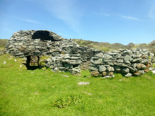
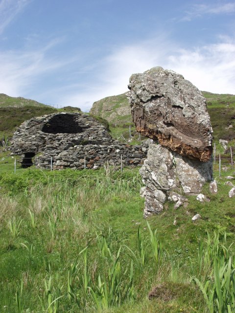
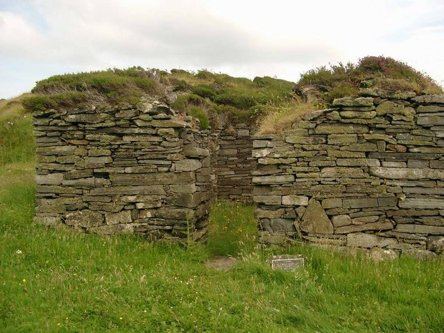
The name "Eileach an Naoimh" translates to "Island of the Saints" in Gaelic, which is fitting given the island's historical and religious significance. It is believed to have been a site of Christian worship since the 6th century, with ruins of an ancient monastery still visible. The monastery was established by St. Brendan, a renowned Irish saint, and served as a spiritual retreat for monks.
Today, visitors to Eileach an Naoimh can explore the remains of the monastery, including the foundations of the church, cells, and a possible hermit's cave. The island also features several early Christian crosses, some of which have been restored. These artifacts provide valuable insights into the religious and cultural practices of the early Christian period.
In addition to its historical significance, Eileach an Naoimh offers stunning natural beauty. The island is home to a variety of seabirds, including guillemots, razorbills, and puffins, making it a popular destination for birdwatching enthusiasts. The surrounding waters are teeming with marine life, making it an excellent spot for diving and snorkeling.
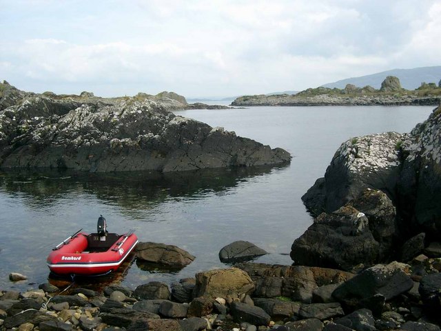
Access to Eileach an Naoimh is by private boat or ferry, and visitors are advised to check local tide times and weather conditions before planning a trip. The island's remote and untouched nature makes it an ideal destination for those seeking tranquility and a connection with Scotland's rich history.
If you have any feedback on the listing, please let us know in the comments section below.
Eileach an Naoimh Images
Images are sourced within 2km of 56.222625/-5.8064561 or Grid Reference NM6409. Thanks to Geograph Open Source API. All images are credited.

Eileach an Naoimh is located at Grid Ref: NM6409 (Lat: 56.222625, Lng: -5.8064561)
Unitary Authority: Argyll and Bute
Police Authority: Argyll and West Dunbartonshire
What 3 Words
///expensive.furnish.movements. Near Lochbuie, Argyll & Bute
Nearby Locations
Related Wikis

Eileach an Naoimh
Eileach an Naoimh, also known as Holy Isle, is an uninhabited island in the Inner Hebrides of the west coast of Scotland. It is the southernmost of the...

Garvellachs
The Garvellachs (Scottish Gaelic: Garbh Eileaich) or Isles of the Sea form a small archipelago in the Inner Hebrides of Scotland. Part of the Argyll and...
Garbh Eileach
Garbh Eileach is an uninhabited island in the Inner Hebrides of the west coast of Scotland. It is the largest of the Garvellachs and lies in the Firth...
Dùn Chonnuill
Dùn Chonnuill is a small island in the Garvellachs in the Firth of Lorn, Scotland. Dùn Chonnuill lies north east of Garbh Eileach, the largest of the archipelago...
Nearby Amenities
Located within 500m of 56.222625,-5.8064561Have you been to Eileach an Naoimh?
Leave your review of Eileach an Naoimh below (or comments, questions and feedback).