Eilean an Dùin
Island in Argyllshire
Scotland
Eilean an Dùin
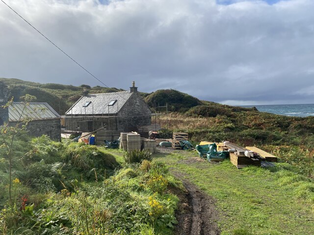
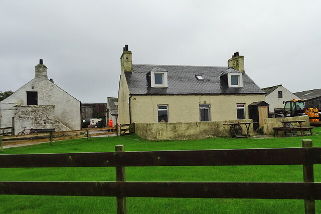
Eilean an Dùin, also known as Castle Island, is a small uninhabited island located in the Inner Hebrides of Scotland. Situated off the coast of Argyllshire, it is surrounded by the crystal-clear waters of Loch Melfort. The island is approximately 1.5 acres in size and is accessible by boat.
The most prominent feature of Eilean an Dùin is the ruins of a medieval castle, which gives the island its name. The castle was built in the 15th century and served as a stronghold for the Clan MacDougall. Although it fell into disrepair over the centuries, the castle's remains still stand, offering visitors a glimpse into its storied past.
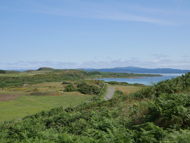
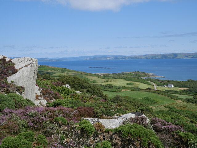
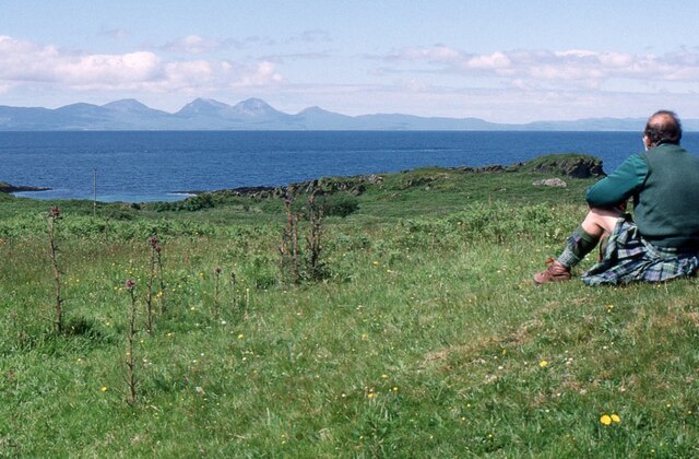
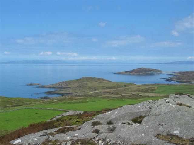
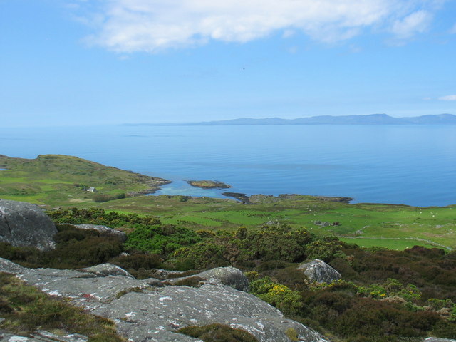
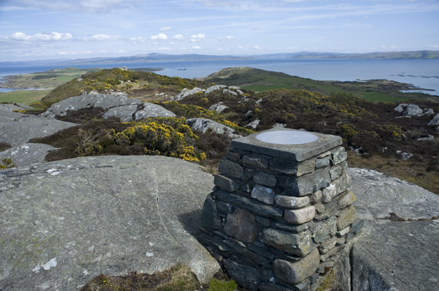
The island itself is covered in lush green vegetation and offers breathtaking views of the surrounding landscapes. It is a haven for wildlife, with various species of birds, including puffins and guillemots, making it their home. The waters surrounding Eilean an Dùin are also rich in marine life, attracting divers and snorkelers from all over.
For those who enjoy outdoor activities, Eilean an Dùin is a perfect destination for exploring and hiking. The island's rugged terrain and coastal paths provide opportunities for adventurous walks and picnics with stunning vistas.
Due to its historical significance and natural beauty, Eilean an Dùin attracts tourists and history enthusiasts alike. It offers a tranquil escape from the bustling mainland, allowing visitors to immerse themselves in the island's rich history and picturesque surroundings.
If you have any feedback on the listing, please let us know in the comments section below.
Eilean an Dùin Images
Images are sourced within 2km of 55.693227/-5.7567055 or Grid Reference NR6450. Thanks to Geograph Open Source API. All images are credited.


Eilean an Dùin is located at Grid Ref: NR6450 (Lat: 55.693227, Lng: -5.7567055)
Unitary Authority: Argyll and Bute
Police Authority: Argyll and West Dunbartonshire
What 3 Words
///adopting.recap.pumps. Near Craighouse, Argyll & Bute
Nearby Locations
Related Wikis

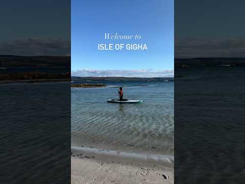
Gigha
Gigha (; Scottish Gaelic: Giogha; Scots: Gigha) or the Isle of Gigha (and formerly Gigha Island) is an island off the west coast of Kintyre in Scotland...

Kilchattan Chapel
Kilchattan Chapel (St Cathan's Chapel) is a ruined medieval chapel near Ardminish, Isle of Gigha, Argyll and Bute, Scotland. Built in the 13th century...

Achamore House
Achamore House is a mansion on the Isle of Gigha, Scotland. It was built in 1884 for Lt-Col William James Scarlett, and the extensive gardens were laid...

Ardminish
Ardminish (Scottish Gaelic: Aird Mhèanais) is the sole village on the Isle of Gigha in the Inner Hebrides, in Argyll and Bute, Scotland, and considered...

Sound of Gigha
The Sound of Gigha is a sound between the Inner Hebridean Isle of Gigha and Kintyre. It forms part of the Atlantic Ocean. == External links ==

St Fionnlagh's Chapel
St Fionnlagh's Chapel (St Finla's Chapel) is a ruined medieval chapel on Cara Island, Argyll and Bute, Scotland. First recorded in the 15th century, the...
Cara Island
Cara Island (Scottish Gaelic: Cara) is a small island which is located off the west coast of Kintyre in Scotland. == Geography and etymology == Cara is...

Tayinloan
Tayinloan (Scottish Gaelic: Taigh an Lòin, pronounced [t̪ɤj ə ˈl̪ˠɔːɲ]) is a village situated on the west coast of the Kintyre peninsula in Argyll and...
Related Videos

SAILING Islay to Gigha | WALKING Creag Bhan | Sailing Scotland
A delightful journey from Port Ellen, Islay, to the charming Ardminish Bay in Gigha proved to be a short yet incredibly enjoyable ...

Isle of Gigha 😍 (4K)
Beautiful island, which world class scenic beaches, lovely gardens, and stunning scenery. Feel free to buy me a coffee for my ...

Water Scarcity - Keep The Water Flowing
With drier winters, hotter summers and a rapid increase in seasonal tourism, how does Scottish Water keep drinking water ...
Nearby Amenities
Located within 500m of 55.693227,-5.7567055Have you been to Eilean an Dùin?
Leave your review of Eilean an Dùin below (or comments, questions and feedback).