Mill Loch

Lake, Pool, Pond, Freshwater Marsh in Argyllshire

Scotland

Mill Loch

Descending Creag Bhàn The descent of Creag Bhàn offers a fine view over the south and west of the Isle of Gigha, and a distant Islay.  In this view, Ardailly can be noted, with the covered Gigha service reservoir below.  Mill Loch and High Loch can be noted to the left in the near and far distance, respectively.

This photograph was taken during the Coronavirus (COVID-19) pandemic of 2020/21.
Descending Creag Bhàn Credit: James T M Towill

Mill Loch is a picturesque freshwater lake located in the scenic region of Argyllshire, Scotland. Nestled amidst rolling hills and verdant landscapes, this tranquil water body stretches over an area of approximately 100 acres. The loch is situated just a few miles away from the village of Lochgilphead, making it easily accessible for visitors.

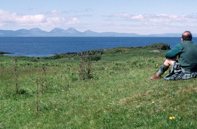
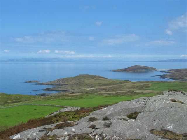
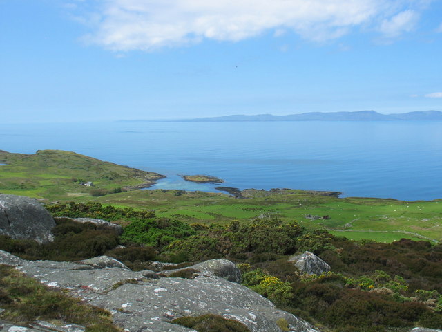
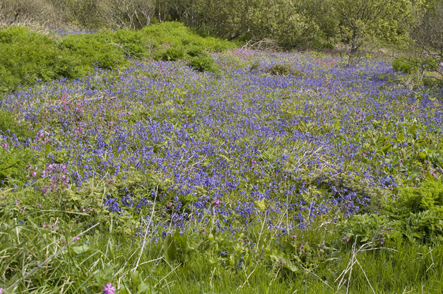
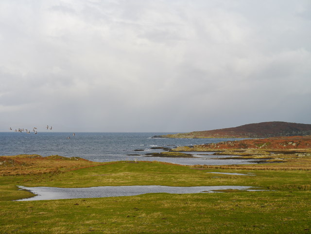
Mill Loch is renowned for its crystal-clear waters, which are sourced from surrounding streams and springs. The lake is surrounded by lush vegetation, including reeds and bulrushes, giving it a serene and natural ambiance. The diverse flora and fauna found in and around the loch make it a haven for nature enthusiasts and bird watchers.

The loch is home to a variety of freshwater fish species, including brown trout, pike, and perch, making it a popular spot for anglers. Fishing enthusiasts can be seen casting their lines from the banks of the loch, hoping to catch a prized fish.

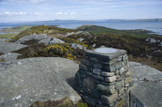
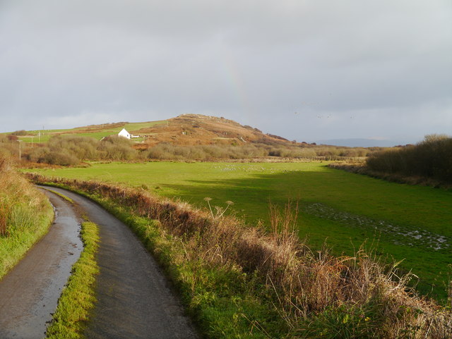
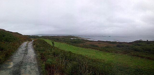
Visitors can also explore the surrounding area on foot, as there are several walking trails and paths that offer breathtaking views of the loch and its surroundings. The peaceful atmosphere and idyllic scenery make Mill Loch an ideal destination for picnicking, photography, or simply relaxing amidst nature.

Overall, Mill Loch in Argyllshire is a hidden gem that offers a serene and tranquil escape from the hustle and bustle of everyday life. Its unspoiled beauty, diverse wildlife, and abundance of recreational activities make it a must-visit destination for nature lovers and outdoor enthusiasts.

If you have any feedback on the listing, please let us know in the comments section below.
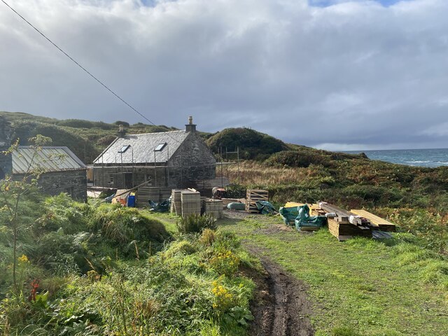
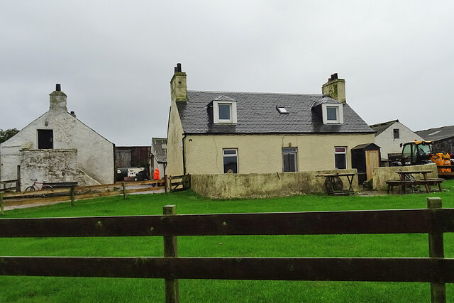
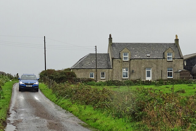
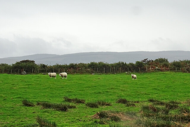
Mill Loch Images

Images are sourced within 2km of 55.689349/-5.749138 or Grid Reference NR6450. Thanks to Geograph Open Source API. All images are credited.

Descending Creag Bhàn The descent of Creag Bhàn offers a fine view over the south and west of the Isle of Gigha, and a distant Islay.  In this view, Ardailly can be noted, with the covered Gigha service reservoir below.  Mill Loch and High Loch can be noted to the left in the near and far distance, respectively.

This photograph was taken during the Coronavirus (COVID-19) pandemic of 2020/21.
Descending Creag Bhàn
The descent of Creag Bhàn offers a fine view over the south and west of the Isle of Gigha, and a distant Islay. In this view, Ardailly can be noted, with the covered Gigha service reservoir below. Mill Loch and High Loch can be noted to the left in the near and far distance, respectively. This photograph was taken during the Coronavirus (COVID-19) pandemic of 2020/21.
Ardailly Mill and miller's cottage At the far end of a long and winding track on the Isle of Gigha stands Ardailly  Mill. It's in an idyllic spot on Gigha's remote west shore, looking out to the neighbouring islands of Islay and Jura. In this photograph it is seen with building works under way, transforming the old millers cottage into someone's dream house.....
Ardailly Mill and miller's cottage
At the far end of a long and winding track on the Isle of Gigha stands Ardailly Mill. It's in an idyllic spot on Gigha's remote west shore, looking out to the neighbouring islands of Islay and Jura. In this photograph it is seen with building works under way, transforming the old millers cottage into someone's dream house.....
Tarbert Farm The farm houses and steading are set back a little from the road.
Tarbert Farm
The farm houses and steading are set back a little from the road.
Druimyeon More Farm The name of this farm by the roadside is curious. The spelling is not Gaelic; perhaps it's a mangled version of Druim an Eoin Mòr 'The ridge of the big bird'?
Druimyeon More Farm
The name of this farm by the roadside is curious. The spelling is not Gaelic; perhaps it's a mangled version of Druim an Eoin Mòr 'The ridge of the big bird'?
Bedraggled Sheep Even the sheep look a bit dispirited on this horrible wet day.
Bedraggled Sheep
Even the sheep look a bit dispirited on this horrible wet day.
Grassland near Ardailly Looking towards the west coast of Gigha and beyond to the Paps of Jura. Just visible (towards the left) are the gables of the ruined old water mill at Port An Duin, which dates from the 18th century.
Grassland near Ardailly
Looking towards the west coast of Gigha and beyond to the Paps of Jura. Just visible (towards the left) are the gables of the ruined old water mill at Port An Duin, which dates from the 18th century.
Looking towards the Paps of Jura From near Ardailly on the west coast of Gigha.
Looking towards the Paps of Jura
From near Ardailly on the west coast of Gigha.
Approaching Rain at Creag Bhan, Gigha
Gigha trig point at Creag Bhan
North east view from Gigha trig point
East view from Gigha trig point
North view from Gigha trig point
West view from Gigha trig point
Summit of Creag Bhan The toposcope or topograph on the summit of Creag Bhan the highest point on Gigha
Summit of Creag Bhan
The toposcope or topograph on the summit of Creag Bhan the highest point on Gigha
Small flower meadow A small field full of wild flowers mainly Bluebell and Campion near Druimyeon Farm.
Small flower meadow
A small field full of wild flowers mainly Bluebell and Campion near Druimyeon Farm.
Pasture At Druimyeon More A small pasture which also featured a flock of nearly 100 Greylag Geese.
Pasture At Druimyeon More
A small pasture which also featured a flock of nearly 100 Greylag Geese.
Grazing Land At Tarbert Farm Flooded grazing land at Tarbert Farm, with a small skein of Greenland White-fronted Geese in the left of shot.  In the distance, West Tarbert Bay can be noted.
Grazing Land At Tarbert Farm
Flooded grazing land at Tarbert Farm, with a small skein of Greenland White-fronted Geese in the left of shot. In the distance, West Tarbert Bay can be noted.
The Road to Highfield A small track on the East of Gigha leading to a salmon farm.
The Road to Highfield
A small track on the East of Gigha leading to a salmon farm.
Show me another place!

Mill Loch is located at Grid Ref: NR6450 (Lat: 55.689349, Lng: -5.749138)

Unitary Authority: Argyll and Bute

Police Authority: Argyll and West Dunbartonshire

What 3 Words

///loves.mixed.materials. Near Craighouse, Argyll & Bute

Related Wikis

Gigha

Gigha (; Scottish Gaelic: Giogha; Scots: Gigha) or the Isle of Gigha (and formerly Gigha Island) is an island off the west coast of Kintyre in Scotland...

Kilchattan Chapel

Kilchattan Chapel (St Cathan's Chapel) is a ruined medieval chapel near Ardminish, Isle of Gigha, Argyll and Bute, Scotland. Built in the 13th century...

Achamore House

Achamore House is a mansion on the Isle of Gigha, Scotland. It was built in 1884 for Lt-Col William James Scarlett, and the extensive gardens were laid...

Sound of Gigha

The Sound of Gigha is a sound between the Inner Hebridean Isle of Gigha and Kintyre. It forms part of the Atlantic Ocean. == External links ==

Ardminish

Ardminish (Scottish Gaelic: Aird Mhèanais) is the sole village on the Isle of Gigha in the Inner Hebrides, in Argyll and Bute, Scotland, and considered...

St Fionnlagh's Chapel

St Fionnlagh's Chapel (St Finla's Chapel) is a ruined medieval chapel on Cara Island, Argyll and Bute, Scotland. First recorded in the 15th century, the...

Cara Island

Cara Island (Scottish Gaelic: Cara) is a small island which is located off the west coast of Kintyre in Scotland. == Geography and etymology == Cara is...

Tayinloan

Tayinloan (Scottish Gaelic: Taigh an Lòin, pronounced [t̪ɤj ə ˈl̪ˠɔːɲ]) is a village situated on the west coast of the Kintyre peninsula in Argyll and...

Nearby Amenities

Located within 500m of 55.689349,-5.749138
Gigha Mill
Man Made: watermill
Survey: visual
Lat/Long: 55.6919332/-5.7544534
Man Made: mast
Lat/Long: 55.6918107/-5.7518933
Power: pole
Lat/Long: 55.6898016/-5.7482607
Power: pole
Lat/Long: 55.6921752/-5.7515559
Power: pole
Lat/Long: 55.6922704/-5.7504417
Power: pole
Lat/Long: 55.6918398/-5.7486776
Power: pole
Lat/Long: 55.6919678/-5.7539793
Power: pole
Lat/Long: 55.691617/-5.7477645
Power: pole
Lat/Long: 55.6913787/-5.7467607
Power: pole
Lat/Long: 55.6911038/-5.7456182
Power: pole
Lat/Long: 55.6909156/-5.7471965
Power: pole
Lat/Long: 55.6903094/-5.7477602
Power: pole
Lat/Long: 55.6912721/-5.7449289
Power: pole
Lat/Long: 55.6915899/-5.7433233
Ardailly
Place: hamlet
Lat/Long: 55.6920286/-5.7523547
The data included in this document is from www.openstreetmap.org. The data is made available under ODbL.

Have you been to Mill Loch?

Leave your review of Mill Loch below (or comments, questions and feedback).