Creag Bhàn

Hill, Mountain in Argyllshire

Scotland

Creag Bhàn

Descending Creag Bhàn The descent of Creag Bhàn offers a fine view over the south and west of the Isle of Gigha, and a distant Islay.  In this view, Ardailly can be noted, with the covered Gigha service reservoir below.  Mill Loch and High Loch can be noted to the left in the near and far distance, respectively.

This photograph was taken during the Coronavirus (COVID-19) pandemic of 2020/21.
Descending Creag Bhàn Credit: James T M Towill

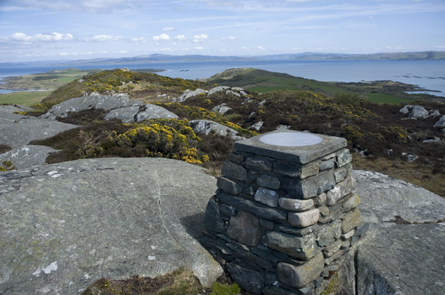
Creag Bhàn is a hill located in Argyllshire, Scotland. It is part of the stunning landscape of the Scottish Highlands, with its rolling green hills and rugged terrain. Creag Bhàn stands at an elevation of approximately 200 meters, making it a moderate challenge for hikers and climbers looking to explore the area.

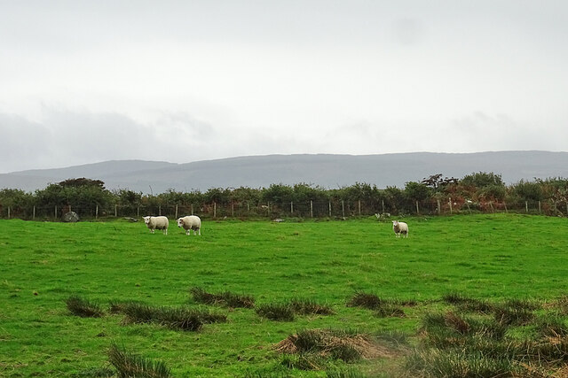
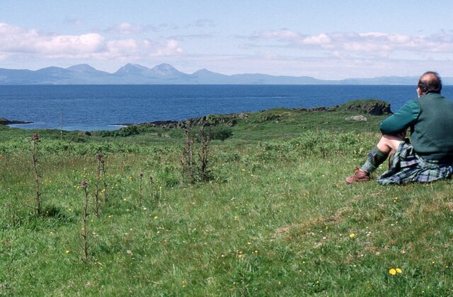
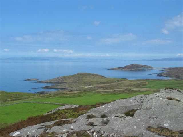
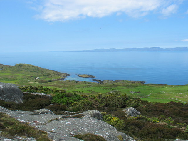
The hill is known for its breathtaking views of the surrounding countryside, including nearby lochs and forests. The terrain of Creag Bhàn is varied, with steep slopes and rocky outcrops adding to the challenge of reaching the summit. The hill is a popular destination for outdoor enthusiasts looking to experience the beauty of the Scottish wilderness.

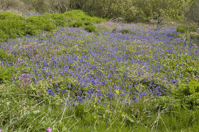
Creag Bhàn is home to a variety of wildlife, including birds of prey and deer, making it a great spot for nature lovers to observe the local flora and fauna. The hill is easily accessible by foot, with a network of trails leading to the summit. Overall, Creag Bhàn is a must-visit destination for anyone looking to experience the natural beauty of Argyllshire and the Scottish Highlands.

If you have any feedback on the listing, please let us know in the comments section below.
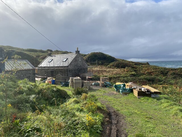
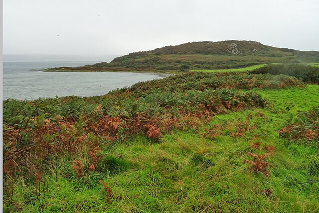
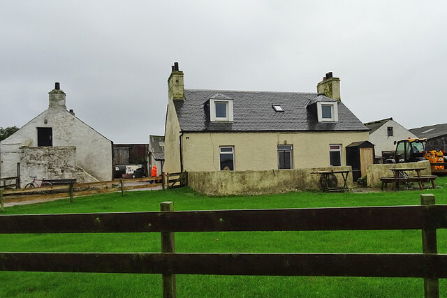
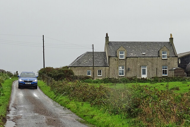
Creag Bhàn Images

Images are sourced within 2km of 55.694423/-5.7443704 or Grid Reference NR6450. Thanks to Geograph Open Source API. All images are credited.

Descending Creag Bhàn The descent of Creag Bhàn offers a fine view over the south and west of the Isle of Gigha, and a distant Islay.  In this view, Ardailly can be noted, with the covered Gigha service reservoir below.  Mill Loch and High Loch can be noted to the left in the near and far distance, respectively.

This photograph was taken during the Coronavirus (COVID-19) pandemic of 2020/21.
Descending Creag Bhàn
The descent of Creag Bhàn offers a fine view over the south and west of the Isle of Gigha, and a distant Islay. In this view, Ardailly can be noted, with the covered Gigha service reservoir below. Mill Loch and High Loch can be noted to the left in the near and far distance, respectively. This photograph was taken during the Coronavirus (COVID-19) pandemic of 2020/21.
Ardailly Mill and miller's cottage At the far end of a long and winding track on the Isle of Gigha stands Ardailly  Mill. It's in an idyllic spot on Gigha's remote west shore, looking out to the neighbouring islands of Islay and Jura. In this photograph it is seen with building works under way, transforming the old millers cottage into someone's dream house.....
Ardailly Mill and miller's cottage
At the far end of a long and winding track on the Isle of Gigha stands Ardailly Mill. It's in an idyllic spot on Gigha's remote west shore, looking out to the neighbouring islands of Islay and Jura. In this photograph it is seen with building works under way, transforming the old millers cottage into someone's dream house.....
Carragh an Tarbert A distinctive standing stone beside the road at Tarbert on the Isle of Gigha. It is also known as the Druids' Stone, and A Thom, author of 'The standing stones in Argyllshire' and 'Megalithic lunar observatories', considers it to be a lunar obervatory dating from the 1st millennium BC.
Carragh an Tarbert
A distinctive standing stone beside the road at Tarbert on the Isle of Gigha. It is also known as the Druids' Stone, and A Thom, author of 'The standing stones in Argyllshire' and 'Megalithic lunar observatories', considers it to be a lunar obervatory dating from the 1st millennium BC.
East Tarbert Bay In the bay are an offshore fish farm. The ship seems to have been there for at least several days.
East Tarbert Bay
In the bay are an offshore fish farm. The ship seems to have been there for at least several days.
Looking over Tràigh Bhàn If the tide were not so high, the white sand that gives the beach its name would be visible here. The hummock is Cnoc Largie, in the next square.
Looking over Tràigh Bhàn
If the tide were not so high, the white sand that gives the beach its name would be visible here. The hummock is Cnoc Largie, in the next square.
Tarbert Farm The farm houses and steading are set back a little from the road.
Tarbert Farm
The farm houses and steading are set back a little from the road.
Druimyeon More Farm The name of this farm by the roadside is curious. The spelling is not Gaelic; perhaps it's a mangled version of Druim an Eoin Mòr 'The ridge of the big bird'?
Druimyeon More Farm
The name of this farm by the roadside is curious. The spelling is not Gaelic; perhaps it's a mangled version of Druim an Eoin Mòr 'The ridge of the big bird'?
Bedraggled Sheep Even the sheep look a bit dispirited on this horrible wet day.
Bedraggled Sheep
Even the sheep look a bit dispirited on this horrible wet day.
Grassland near Ardailly Looking towards the west coast of Gigha and beyond to the Paps of Jura. Just visible (towards the left) are the gables of the ruined old water mill at Port An Duin, which dates from the 18th century.
Grassland near Ardailly
Looking towards the west coast of Gigha and beyond to the Paps of Jura. Just visible (towards the left) are the gables of the ruined old water mill at Port An Duin, which dates from the 18th century.
Looking towards the Paps of Jura From near Ardailly on the west coast of Gigha.
Looking towards the Paps of Jura
From near Ardailly on the west coast of Gigha.
Approaching Rain at Creag Bhan, Gigha
Gigha trig point at Creag Bhan
North east view from Gigha trig point
East view from Gigha trig point
North view from Gigha trig point
West view from Gigha trig point
Summit of Creag Bhan The toposcope or topograph on the summit of Creag Bhan the highest point on Gigha
Summit of Creag Bhan
The toposcope or topograph on the summit of Creag Bhan the highest point on Gigha
Small flower meadow A small field full of wild flowers mainly Bluebell and Campion near Druimyeon Farm.
Small flower meadow
A small field full of wild flowers mainly Bluebell and Campion near Druimyeon Farm.
Show me another place!

Creag Bhàn is located at Grid Ref: NR6450 (Lat: 55.694423, Lng: -5.7443704)

Unitary Authority: Argyll and Bute

Police Authority: Argyll and West Dunbartonshire

What 3 Words

///barstool.topic.calms. Near Craighouse, Argyll & Bute

Related Wikis

Gigha

Gigha (; Scottish Gaelic: Giogha; Scots: Gigha) or the Isle of Gigha (and formerly Gigha Island) is an island off the west coast of Kintyre in Scotland...

Kilchattan Chapel

Kilchattan Chapel (St Cathan's Chapel) is a ruined medieval chapel near Ardminish, Isle of Gigha, Argyll and Bute, Scotland. Built in the 13th century...

Achamore House

Achamore House is a mansion on the Isle of Gigha, Scotland. It was built in 1884 for Lt-Col William James Scarlett, and the extensive gardens were laid...

Sound of Gigha

The Sound of Gigha is a sound between the Inner Hebridean Isle of Gigha and Kintyre. It forms part of the Atlantic Ocean. == External links ==

Nearby Amenities

Located within 500m of 55.694423,-5.7443704
Creag Bhan
Corbett: no
Ele: 100
Graham: no
Marilyn: no
Munro: no
Natural: peak
Lat/Long: 55.6952432/-5.743694
Power: pole
Lat/Long: 55.6922704/-5.7504417
Power: pole
Lat/Long: 55.6918398/-5.7486776
Power: pole
Lat/Long: 55.691617/-5.7477645
Power: pole
Lat/Long: 55.6913787/-5.7467607
Power: pole
Lat/Long: 55.6911038/-5.7456182
Power: pole
Lat/Long: 55.6909156/-5.7471965
Power: pole
Lat/Long: 55.6912721/-5.7449289
Power: pole
Lat/Long: 55.6915899/-5.7433233
Power: pole
Lat/Long: 55.6918445/-5.7421572
Power: pole
Lat/Long: 55.6924215/-5.7393684
Power: pole
Lat/Long: 55.6920963/-5.740942
Power: pole
Lat/Long: 55.6927677/-5.7377985
The data included in this document is from www.openstreetmap.org. The data is made available under ODbL.

Have you been to Creag Bhàn?

Leave your review of Creag Bhàn below (or comments, questions and feedback).