Cnoc a' Mhuilinn Mòr
Hill, Mountain in Argyllshire
Scotland
Cnoc a' Mhuilinn Mòr

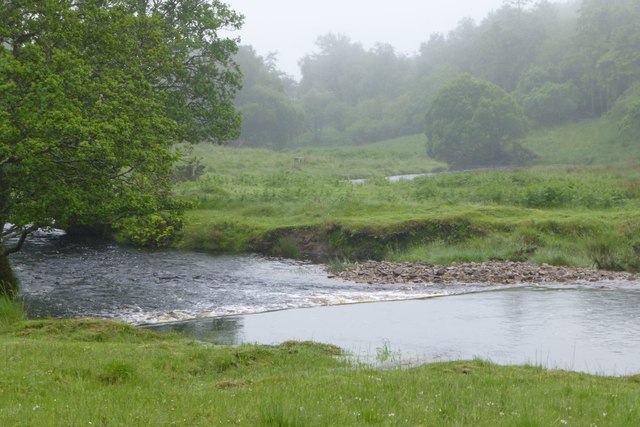
Cnoc a' Mhuilinn Mòr is a prominent hill located in Argyllshire, a region in western Scotland. Standing at an elevation of approximately 288 meters (945 feet), it offers breathtaking panoramic views of the surrounding countryside and the nearby Loch Awe.
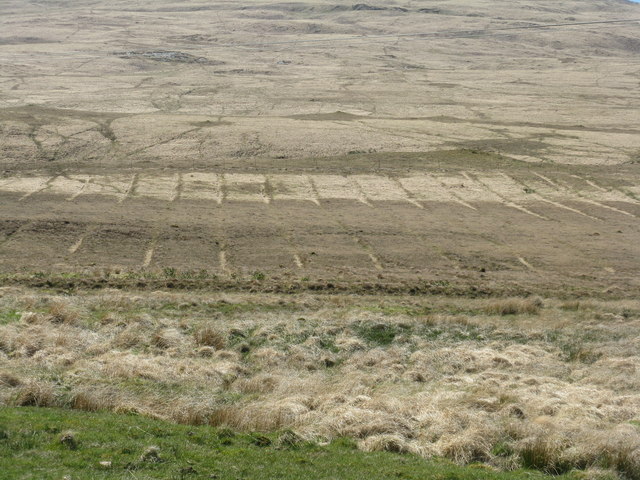
Situated within the picturesque landscape of the Scottish Highlands, Cnoc a' Mhuilinn Mòr is a popular destination for outdoor enthusiasts and nature lovers. The hill is covered with lush green vegetation, which includes a variety of heather, grasses, and wildflowers, adding to its natural beauty.
Hikers and walkers can access the hill via well-maintained trails that wind through the countryside. The ascent is moderate and suitable for individuals of varying fitness levels. Along the way, visitors can observe the diverse wildlife that inhabits the area, including red deer, golden eagles, and various species of birds.
The summit of Cnoc a' Mhuilinn Mòr offers stunning vistas, allowing visitors to admire the expansive Loch Awe and the surrounding mountains. On a clear day, the views stretch far into the distance, showcasing the rugged grandeur of the Scottish landscape.
For those interested in local history, the hill is also home to the ruins of an ancient mill, providing a glimpse into the region's past. The site offers a fascinating insight into the traditional way of life in Argyllshire.
Overall, Cnoc a' Mhuilinn Mòr is a captivating natural landmark, offering both recreational opportunities and a chance to immerse oneself in the rich history and stunning scenery of Argyllshire.
If you have any feedback on the listing, please let us know in the comments section below.
Cnoc a' Mhuilinn Mòr Images
Images are sourced within 2km of 56.041259/-5.7780499 or Grid Reference NR6489. Thanks to Geograph Open Source API. All images are credited.


Cnoc a' Mhuilinn Mòr is located at Grid Ref: NR6489 (Lat: 56.041259, Lng: -5.7780499)
Unitary Authority: Argyll and Bute
Police Authority: Argyll and West Dunbartonshire
What 3 Words
///magpie.uncle.bride. Near Ardrishaig, Argyll & Bute
Nearby Locations
Related Wikis

Ardlussa Fishing Loch
The Ardlussa Fishing Loch is an impounding reservoir, located 2 kilometres north of Lussagiven on a remote part of the Ardlussa Estate on Jura, Argyll...

Ardlussa
Ardlussa is a hamlet and estate on The Long Road, just north of the Lussa River, overlooking Ardlussa Bay on the east coast of the island of Jura, in the...

Inverlussa
Inverlussa is a hamlet 1 mile (1.6 km) southwest of Ardlussa and 14 miles from Craighouse at the mouth of Lussa River on the east coast of the island of...

Jura, Scotland
Jura ( JOOR-ə; Scottish Gaelic: Diùra) is an island in the Inner Hebrides of Scotland, adjacent to and northeast of Islay. With an area of 36,692 hectares...
Sound of Jura
The Sound of Jura (Scottish Gaelic: An Linne Rosach) is a strait in Argyll and Bute, Scotland. It is one of the several Sounds of Scotland. It is to the...
Tarbert, Jura
Tarbert is a hamlet on Tarbert Bay, on the east coast of the island of Jura, in the council area of Argyll and Bute, Scotland. The Tarbert estate is owned...

Barnhill, Jura
Barnhill is a farmhouse in the north of the island of Jura in the Scottish Inner Hebrides overlooking the Sound of Jura. It stands on the site of a larger...

Taynish National Nature Reserve
Taynish National Nature Reserve (Scottish Gaelic: Tèarmann Nàdair Nàiseanta Taighnis) is situated southwest of the village of Tayvallich in the council...
Nearby Amenities
Located within 500m of 56.041259,-5.7780499Have you been to Cnoc a' Mhuilinn Mòr?
Leave your review of Cnoc a' Mhuilinn Mòr below (or comments, questions and feedback).