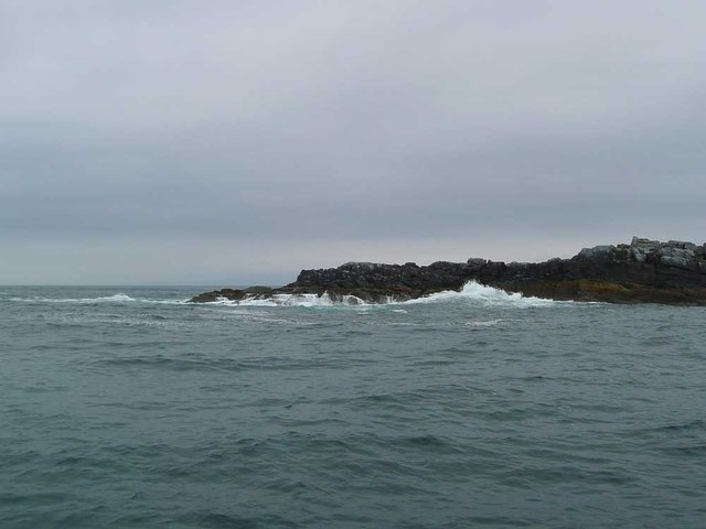
Geodha Iain
Coastal Feature, Headland, Point in Argyllshire
Scotland
Geodha Iain
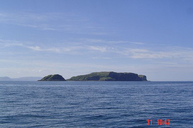
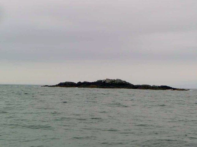
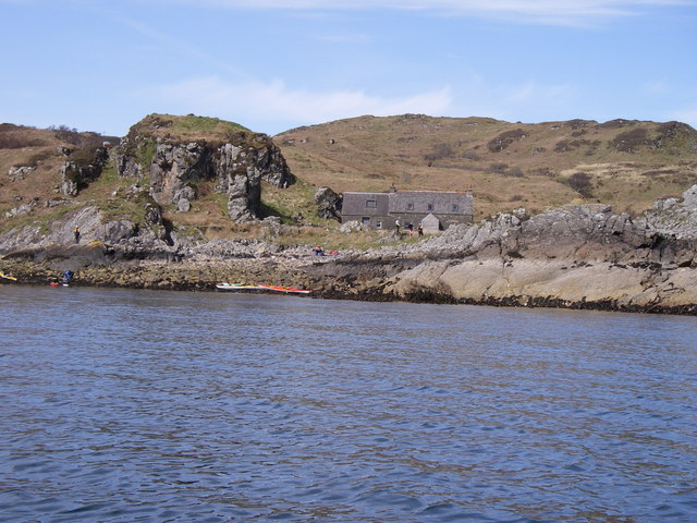
![Eileach an Naoimh The southern end of the southernmost Garvellach Islands. To the right of centre is a small light, which does not seem to be mainstream light, but is maintained as a tourist attraction [!] by the Northern Lighthouse Board.](https://s0.geograph.org.uk/geophotos/06/93/63/6936312_b4a6f209.jpg)
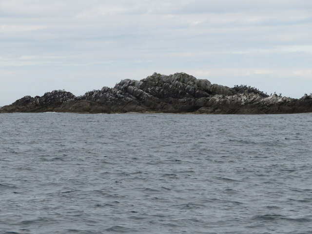
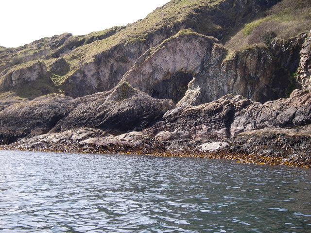
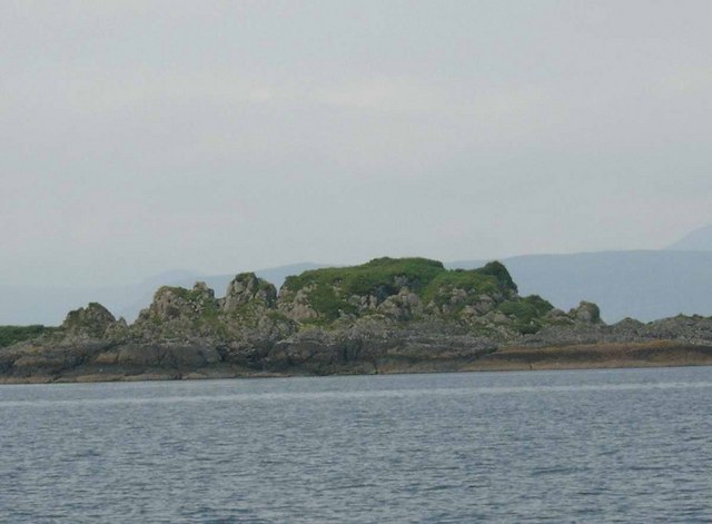
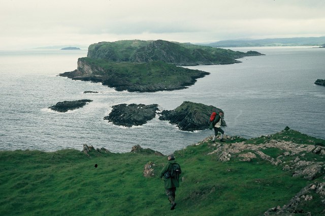
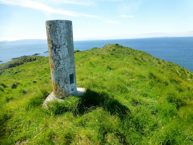
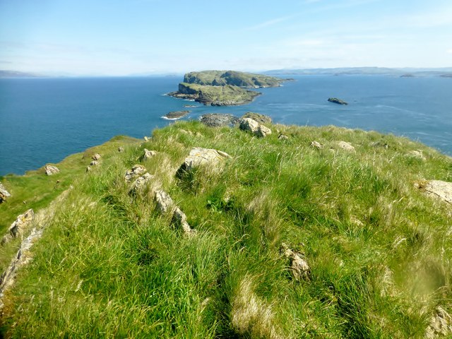
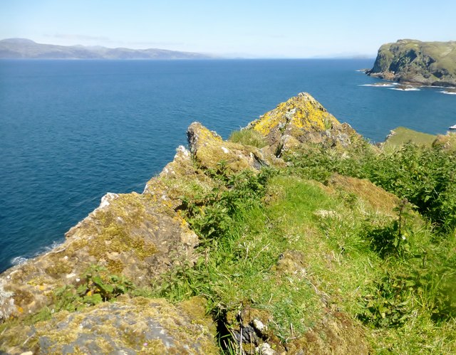
Geodha Iain is a coastal feature located in Argyllshire, Scotland. It is known for its stunning views and rugged landscape. The headland juts out into the sea, offering panoramic vistas of the surrounding area. The point is characterized by rocky cliffs and dramatic rock formations, making it a popular destination for hikers and nature enthusiasts.
Geodha Iain is also home to a variety of wildlife, including seabirds and seals, adding to the area's natural beauty. Visitors can often spot seabirds nesting on the cliffs or seals basking in the sun along the shoreline.
The headland is accessible by foot, with a walking path leading visitors along the coastline and providing opportunities to explore the rocky terrain. The area is popular for photography and birdwatching, with many visitors drawn to the unique landscape and abundant wildlife.
Overall, Geodha Iain is a picturesque coastal feature in Argyllshire, offering visitors a chance to experience the rugged beauty of Scotland's coastline.
If you have any feedback on the listing, please let us know in the comments section below.
Geodha Iain Images
Images are sourced within 2km of 56.223286/-5.8007597 or Grid Reference NM6409. Thanks to Geograph Open Source API. All images are credited.

Geodha Iain is located at Grid Ref: NM6409 (Lat: 56.223286, Lng: -5.8007597)
Unitary Authority: Argyll and Bute
Police Authority: Argyll and West Dunbartonshire
What 3 Words
///lyricism.stammer.yummy. Near Lochbuie, Argyll & Bute
Nearby Locations
Related Wikis

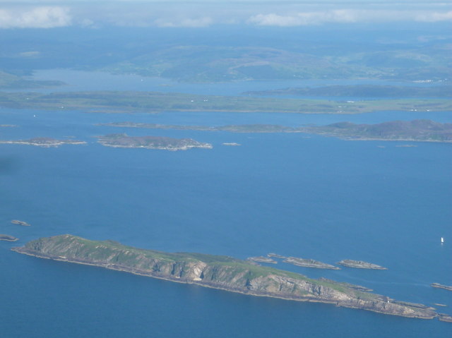
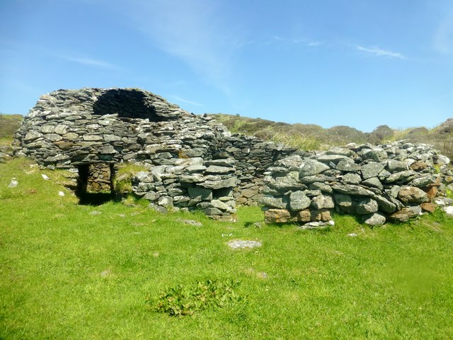
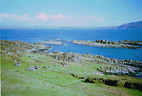
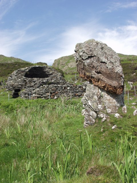
Eileach an Naoimh
Eileach an Naoimh, also known as Holy Isle, is an uninhabited island in the Inner Hebrides of the west coast of Scotland. It is the southernmost of the...

Garvellachs
The Garvellachs (Scottish Gaelic: Garbh Eileaich) or Isles of the Sea form a small archipelago in the Inner Hebrides of Scotland. Part of the Argyll and...
Garbh Eileach
Garbh Eileach is an uninhabited island in the Inner Hebrides of the west coast of Scotland. It is the largest of the Garvellachs and lies in the Firth...
Dùn Chonnuill
Dùn Chonnuill is a small island in the Garvellachs in the Firth of Lorn, Scotland. Dùn Chonnuill lies north east of Garbh Eileach, the largest of the archipelago...
Related Videos
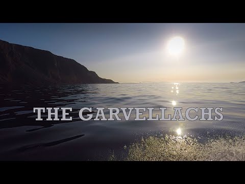
Garvellachs Part 2
In this Video I travel to Loch Buie on Mull before returning to the Garvallach Islands then explore the Black Islands and the Slate ...

Beehive Shaped Double Cell On Eileach an Naoimh Island On Visit To The Inner Hebrides Scotland
Tour Scotland travel video clip, with Scottish music, of a beehive shaped double cell on Eileach an Naoimh Island on ancestry visit ...
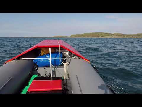
Garvellachs Part 1
It was almost the end of September ..and the forecast indicated a few days on "Indian Summer" so I took the boat back to the Oban ...
Nearby Amenities
Located within 500m of 56.223286,-5.8007597Have you been to Geodha Iain?
Leave your review of Geodha Iain below (or comments, questions and feedback).