Rubha Mhic-phi

Coastal Feature, Headland, Point in Argyllshire

Scotland

Rubha Mhic-phi

A Welcome Sight Arriving at Glengarrisdale Bothy on the wild west coast of Jura. A welcome sight and great location to brew up before tackling the walk onwards.
A Welcome Sight Credit: Adam Ward

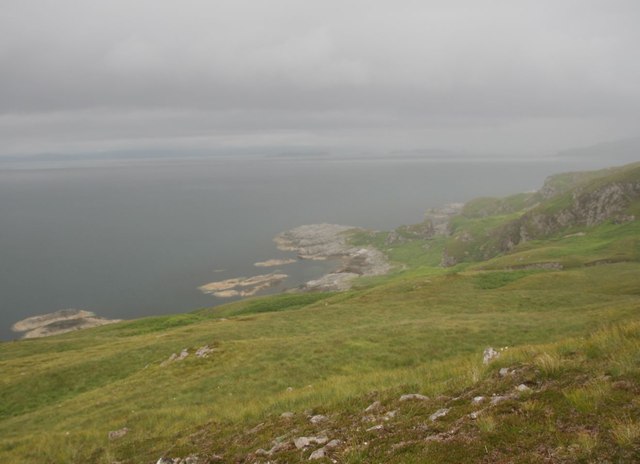
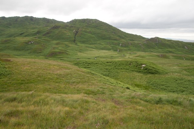
Rubha Mhic-phi is a prominent headland located in Argyllshire, Scotland. Situated on the western coast of the country, it juts out into the Atlantic Ocean, offering breathtaking views of the surrounding landscape.

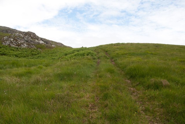
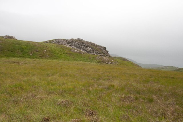
The headland is characterized by its rugged cliffs and rocky terrain, which are a result of millions of years of erosion by the powerful waves of the Atlantic. The cliffs provide a nesting ground for a variety of seabirds, including puffins, guillemots, and razorbills, making it a popular spot for birdwatching enthusiasts.

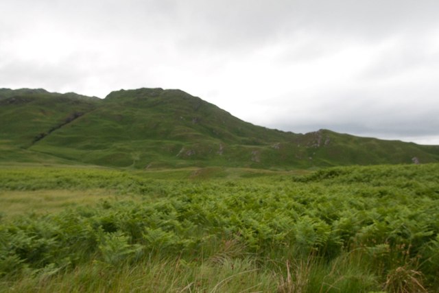
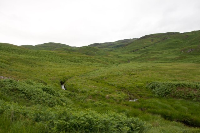
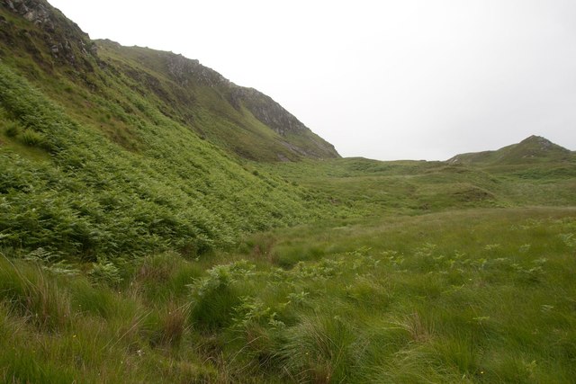
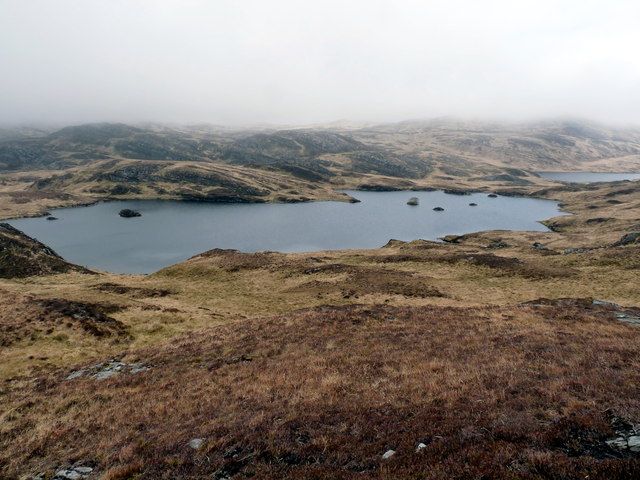
Rubha Mhic-phi is also home to a diverse range of flora and fauna. The headland is covered in heather and grasses, while the surrounding waters are teeming with marine life. Seals can often be spotted basking on the nearby rocks, while dolphins and porpoises frequently swim in the waters offshore.

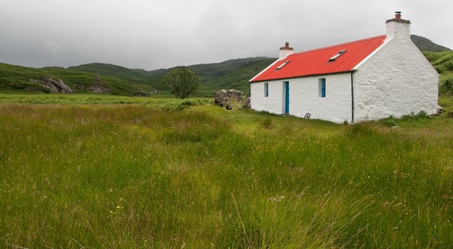
The headland is easily accessible to visitors, with a well-maintained coastal path that offers stunning views of the surrounding landscape. It is a popular spot for hikers and nature lovers, who come to explore the rugged beauty of the area.

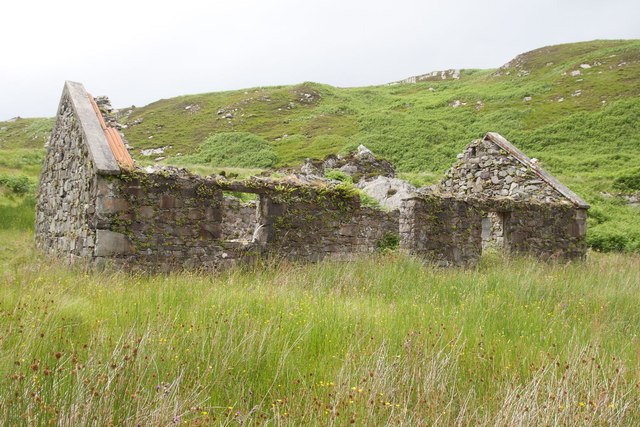
In addition to its natural attractions, Rubha Mhic-phi is also of historical significance. The headland is home to the ruins of an ancient fort, which dates back to the Iron Age. Visitors can explore the remains of the fort and imagine what life was like for its inhabitants thousands of years ago.

Overall, Rubha Mhic-phi is a captivating coastal feature that offers a unique combination of natural beauty, wildlife, and historical significance. It is a must-visit destination for anyone exploring the Argyllshire region of Scotland.

If you have any feedback on the listing, please let us know in the comments section below.

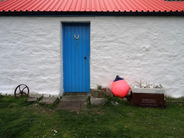
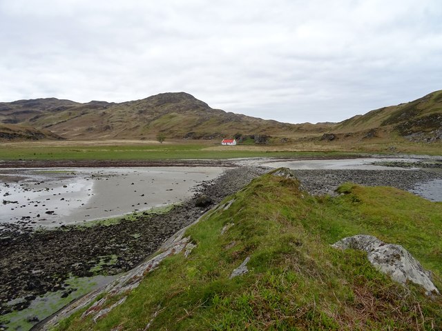
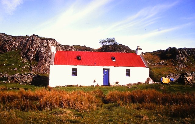
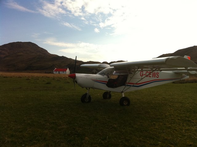
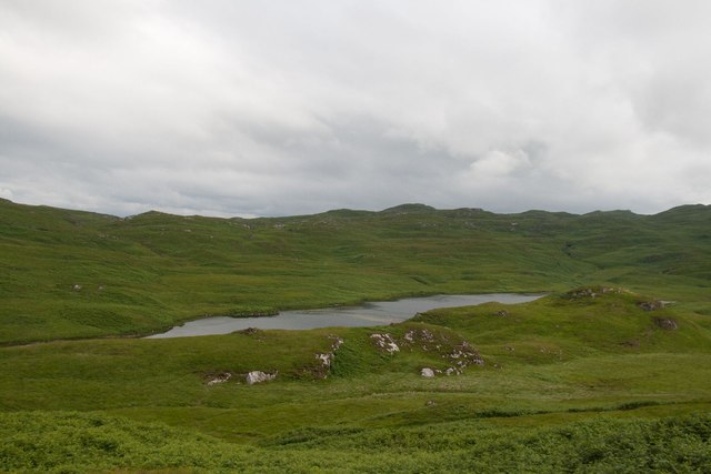
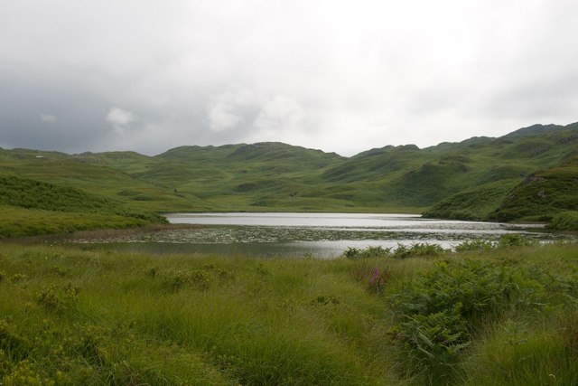
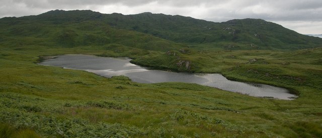
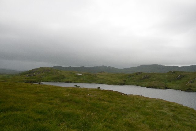
Rubha Mhic-phi Images

Images are sourced within 2km of 56.111111/-5.7902595 or Grid Reference NR6497. Thanks to Geograph Open Source API. All images are credited.

A Welcome Sight Arriving at Glengarrisdale Bothy on the wild west coast of Jura. A welcome sight and great location to brew up before tackling the walk onwards.
A Welcome Sight
Arriving at Glengarrisdale Bothy on the wild west coast of Jura. A welcome sight and great location to brew up before tackling the walk onwards.
Glengarrisdale Bay Glengarrisdale Bothy from rocky outcrop out in Glengarrisdale Bay on a balmy spring day.
Glengarrisdale Bay
Glengarrisdale Bothy from rocky outcrop out in Glengarrisdale Bay on a balmy spring day.
Glengarrisdale Bothy Glengarrisdale Bothy, maintained by The Mountain Bothies Association.
Glengarrisdale Bothy
Glengarrisdale Bothy, maintained by The Mountain Bothies Association.
Glengarrisdale plane  visit Flying from Craighouse back to Oban, spotted this place, landed and was greeted by a walker who was staying at the bothy,  gave me a cup of tea; then it was up and away!
Glengarrisdale plane visit
Flying from Craighouse back to Oban, spotted this place, landed and was greeted by a walker who was staying at the bothy, gave me a cup of tea; then it was up and away!
Carraig Alasdair, Glengarrisdale, Jura We were very relieved to finally reach the west coast of Jura after hours of traipsing across pathless bog, moorland and long grass.
Carraig Alasdair, Glengarrisdale, Jura
We were very relieved to finally reach the west coast of Jura after hours of traipsing across pathless bog, moorland and long grass.
Clachaig Mheadhoin, Jura
Glengarrisdale Bothy, Jura A welcome retreat for walkers, especially after walking across from the east, as we did from Barnhill.
Glengarrisdale Bothy, Jura
A welcome retreat for walkers, especially after walking across from the east, as we did from Barnhill.
Glengarrisdale River, Jura
Loch Doire na h-Achlaise, Jura
Loch nan Eilean, Jura We saw Red-throated Diver on this small loch.
Loch nan Eilean, Jura
We saw Red-throated Diver on this small loch.
ATV track near Clachaig Mheadhoin, Jura We were very glad to discover this veritable track ran all the way from Glengarrisdale back to the road at Lealt, having traipsed from Barnhill across long grass, bog and moorland.
ATV track near Clachaig Mheadhoin, Jura
We were very glad to discover this veritable track ran all the way from Glengarrisdale back to the road at Lealt, having traipsed from Barnhill across long grass, bog and moorland.
Rounding Clachaig Mhòr, Jura
Clachaig Mhòr, Jura
Clachaig Mhòr, Jura
Ruin at Glengarrisdale, Jura
Looking towards Clachaig Mhòr, Jura
Loch nan Eilean with Loch a' Bhurra beyond Loch nan Eilean with Loch a' Bhurra beyond on Jura
Loch nan Eilean with Loch a' Bhurra beyond
Loch nan Eilean with Loch a' Bhurra beyond on Jura
Show me another place!

Rubha Mhic-phi is located at Grid Ref: NR6497 (Lat: 56.111111, Lng: -5.7902595)

Unitary Authority: Argyll and Bute

Police Authority: Argyll and West Dunbartonshire

What 3 Words

///rigid.haystack.tinted. Near Lochgilphead, Argyll & Bute

Related Wikis

Jura, Scotland

Jura ( JOOR-ə; Scottish Gaelic: Diùra) is an island in the Inner Hebrides of Scotland, adjacent to and northeast of Islay. With an area of 36,692 hectares...

Barnhill, Jura

Barnhill is a farmhouse in the north of the island of Jura in the Scottish Inner Hebrides overlooking the Sound of Jura. It stands on the site of a larger...

Kinuachdrachd

Kinuachdrachd or Kinuachdrach is a place about 22 miles from Craighouse on the island of Jura, in the council area of Argyll and Bute, Scotland. It comprises...

Gulf of Corryvreckan

The Gulf of Corryvreckan (from the Gaelic Coire Bhreacain, meaning 'cauldron of the speckled seas' or 'cauldron of the plaid'), also called the Strait...

Nearby Amenities

Located within 500m of 56.111111,-5.7902595
Source: PGS
Lat/Long: 56.1101982/-5.7858833
Source: PGS
Lat/Long: 56.1104157/-5.7857997
Created By: dmgroom_coastlines
Source: PGS
Lat/Long: 56.110522/-5.785975
Source: PGS
Lat/Long: 56.1106944/-5.7851604
Source: PGS
Lat/Long: 56.1102381/-5.7849804
Source: PGS
Lat/Long: 56.1100846/-5.7850225
Source: PGS
Lat/Long: 56.1099957/-5.7850788
Source: PGS
Lat/Long: 56.1099036/-5.7852979
Source: PGS
Lat/Long: 56.1089383/-5.7843639
Source: PGS
Lat/Long: 56.1087055/-5.7849815
Source: PGS
Lat/Long: 56.1085441/-5.7854965
Source: PGS
Lat/Long: 56.1085017/-5.7866139
Source: PGS
Lat/Long: 56.1089084/-5.7874422
Source: PGS
Lat/Long: 56.1088408/-5.7881008
Source: PGS
Lat/Long: 56.1086907/-5.7887631
Source: PGS
Lat/Long: 56.1088274/-5.7899916
Source: PGS
Lat/Long: 56.1114263/-5.7914198
Source: PGS
Lat/Long: 56.1116551/-5.7915418
Glengarrisdale Bay
Natural: bay
Source: OS_OpenData_StreetView
Lat/Long: 56.1122379/-5.7870069
Rubha Mhic-phi
Natural: cape
Source: OS_OpenData_StreetView
Lat/Long: 56.1112843/-5.7898377
Sgeir Mhor
Natural: cliff
Source: OS_OpenData_StreetView
Lat/Long: 56.1102301/-5.785379
Sgeir na Faolinn
Natural: cliff
Source: OS_OpenData_StreetView
Lat/Long: 56.110562/-5.7857138
Sgeir na Fhigheddair
Natural: cliff
Source: OS_OpenData_StreetView
Lat/Long: 56.1132666/-5.7954447
Tobar Clach nan Arm
Man Made: water_well
Lat/Long: 56.108131/-5.7926363
Uamh Carraig Alasdair
Natural: cave_entrance
Source: OS_OpenData_StreetView
Lat/Long: 56.1108031/-5.7831206
Uamh Mhic-phi
Natural: cave_entrance
Source: OS_OpenData_StreetView
Lat/Long: 56.1103852/-5.7916661
Uamh Mhor Aird Rachdaig
Natural: cave_entrance
Source: OS_OpenData_StreetView
Lat/Long: 56.1114172/-5.7923459
The data included in this document is from www.openstreetmap.org. The data is made available under ODbL.

Have you been to Rubha Mhic-phi?

Leave your review of Rubha Mhic-phi below (or comments, questions and feedback).