Eilean an Rubha

Island in Argyllshire

Scotland

Eilean an Rubha

From Croc na h-Iolaire East coast of Jura.
From Croc na h-Iolaire Credit: Andrew Spenceley

Eilean an Rubha, also known as Rubha Island, is a small island located off the west coast of Scotland in Argyllshire. It is situated near the village of Arduaine, approximately 20 miles south of Oban. The island is accessible by boat, with a short crossing from Arduaine Pier.

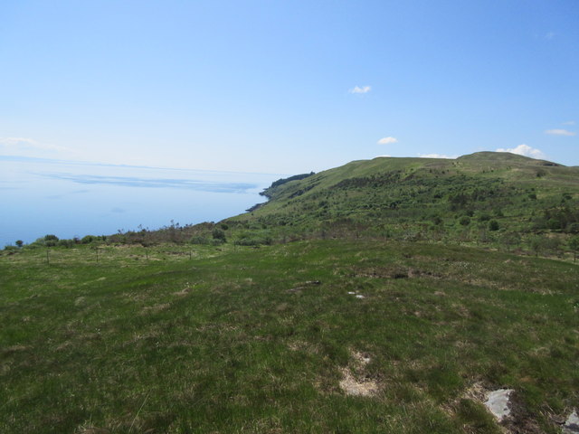
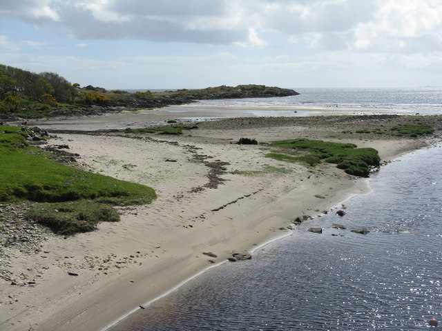
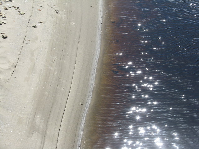
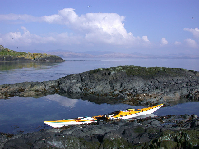
Covering an area of around 10 acres, Eilean an Rubha boasts stunning natural beauty and is a popular destination for nature lovers and birdwatchers. The island is home to a diverse range of flora and fauna, including various seabirds, seals, and otters. The rugged coastline, with its rocky cliffs and hidden coves, offers breathtaking views of the surrounding sea and nearby islands.

On the island, there is a small, picturesque lighthouse that has been operational since 1859. The lighthouse, perched on top of a granite rock, stands 87 feet tall and serves as a navigational aid for ships passing through the Sound of Jura. It is a notable landmark and a popular subject for photographers.

Eilean an Rubha provides a tranquil escape from the hustle and bustle of city life. Visitors can enjoy leisurely walks along the island's well-maintained paths, taking in the stunning scenery and observing the abundant wildlife. The island is also a great spot for picnics and offers a peaceful atmosphere for relaxation and contemplation.

Overall, Eilean an Rubha is a hidden gem in Argyllshire, offering a unique and enchanting experience for those seeking natural beauty and tranquility.

If you have any feedback on the listing, please let us know in the comments section below.

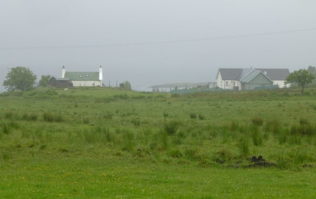
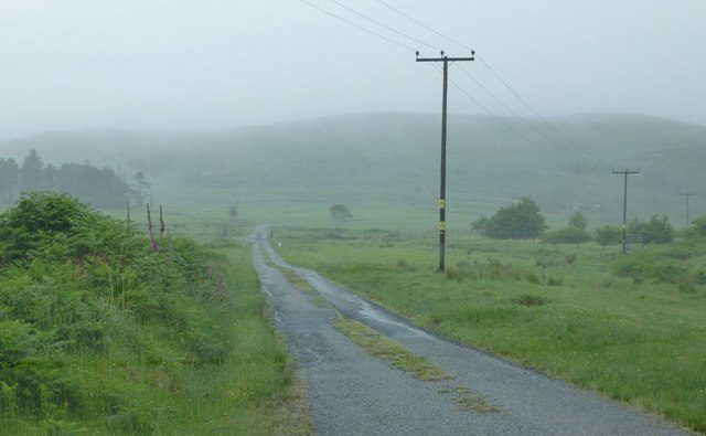
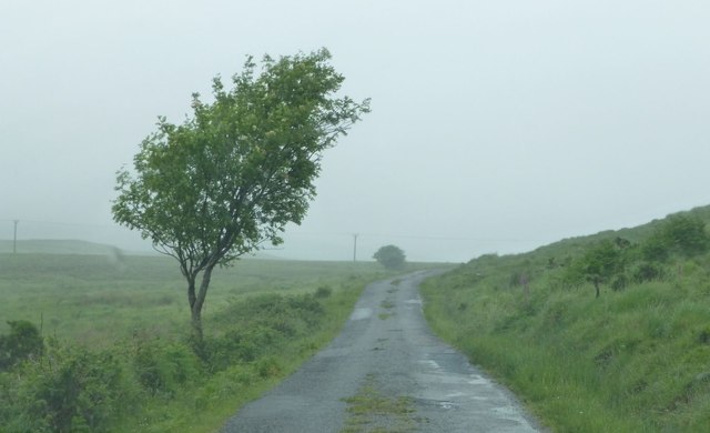
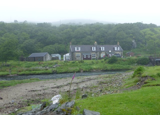
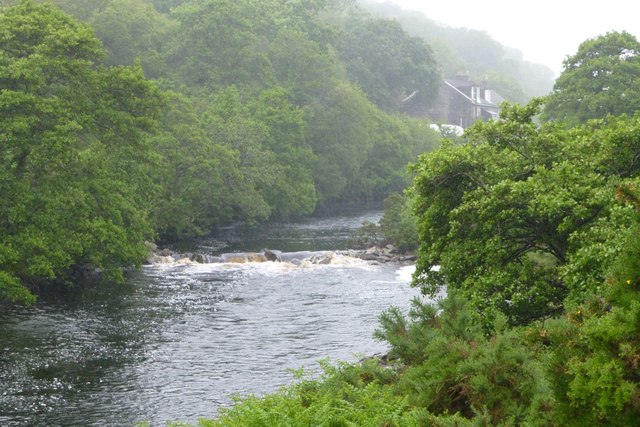
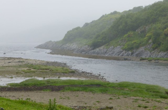
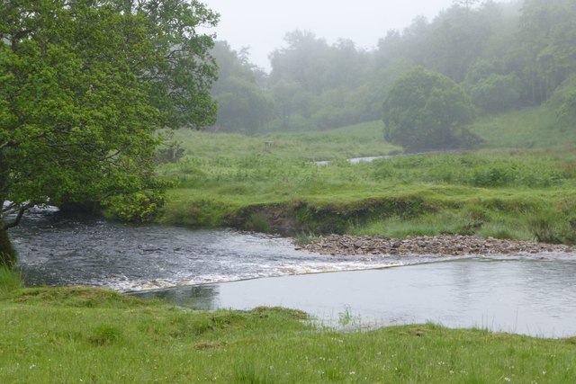
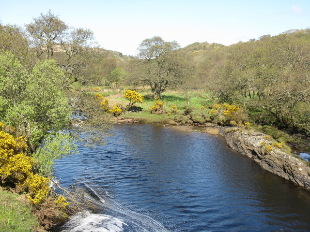
Eilean an Rubha Images

Images are sourced within 2km of 56.013274/-5.783966 or Grid Reference NR6486. Thanks to Geograph Open Source API. All images are credited.

From Croc na h-Iolaire East coast of Jura.
From Croc na h-Iolaire
East coast of Jura.
Inverlussa: a boat moored on the bridge A small boat is moored from the railings of the bridge which carries the road to the few houses in the hamlet. The Lussa River nears its journey's end just behind us as it enters the sea at Lussa Bay.
Inverlussa: a boat moored on the bridge
A small boat is moored from the railings of the bridge which carries the road to the few houses in the hamlet. The Lussa River nears its journey's end just behind us as it enters the sea at Lussa Bay.
Inverlussa: the village from across the Lussa River Looking towards the heart of Inverlussa - really just a handful of houses - across the Lussa River as it reaches Lussa Bay and thus the end of its journey. It is a rather low tide so one can happily meander across the sand of the bay.
Inverlussa: the village from across the Lussa River
Looking towards the heart of Inverlussa - really just a handful of houses - across the Lussa River as it reaches Lussa Bay and thus the end of its journey. It is a rather low tide so one can happily meander across the sand of the bay.
Inverlussa: towards the phone box from across the river A view across the Lussa River at Inverlussa. Opposite is a red telephone box, suggesting that the adjacent house was once the post office. This supposition is confirmed by a local, although it was not the final location of the post office.

Inverlussa Post Office was opened on 1 July 1947 (at the time - it seems impossible to believe nowadays - this was the third post office on Jura) at the pictured premises, and the telephone box is thus alongside. The post office subsequently moved to one of the terraced houses out of shot to the right; it closed on 1 October 1984.
Inverlussa: towards the phone box from across the river
A view across the Lussa River at Inverlussa. Opposite is a red telephone box, suggesting that the adjacent house was once the post office. This supposition is confirmed by a local, although it was not the final location of the post office. Inverlussa Post Office was opened on 1 July 1947 (at the time - it seems impossible to believe nowadays - this was the third post office on Jura) at the pictured premises, and the telephone box is thus alongside. The post office subsequently moved to one of the terraced houses out of shot to the right; it closed on 1 October 1984.
Inverlussa: postbox № PA60 1 and telephone box One of the remotest places from which to communicate, either telephonically or postally, this is the northernmost postbox on the island of Jura. It stands outside the cottages of which one was the post office before it closed in 1984 (see <a href="https://www.geograph.org.uk/photo/5074264">NR6486 : Inverlussa: towards the phone box from across the river</a> for more discussion).

The collection times of the six postboxes on the island get gradually later as one travels north, so this one has the latest time - 4pm on weekdays. However, as explained by the asterisks on the information plate, it has already missed the boat by then so items are not dispatched until the next working day.
Inverlussa: postbox № PA60 1 and telephone box
One of the remotest places from which to communicate, either telephonically or postally, this is the northernmost postbox on the island of Jura. It stands outside the cottages of which one was the post office before it closed in 1984 (see NR6486 : Inverlussa: towards the phone box from across the river for more discussion). The collection times of the six postboxes on the island get gradually later as one travels north, so this one has the latest time - 4pm on weekdays. However, as explained by the asterisks on the information plate, it has already missed the boat by then so items are not dispatched until the next working day.
Inverlussa: two deer cross the road These two deer were in the trees on the left and presumably were unsettled by the sound of my car - luckily I had seen them from the previous corner and half expected them to dash off.
Inverlussa: two deer cross the road
These two deer were in the trees on the left and presumably were unsettled by the sound of my car - luckily I had seen them from the previous corner and half expected them to dash off.
Heading down to Lussagiven Is that a loch or just a flooding Struthen Glac na Dunaich?
Heading down to Lussagiven
Is that a loch or just a flooding Struthen Glac na Dunaich?
Follow the electricity poles! To Lussagiven.
Follow the electricity poles!
To Lussagiven.
Lussagiven Lussa Bay beyond in the mist!
Lussagiven
Lussa Bay beyond in the mist!
Arriving at Lussagiven In the rain.
Arriving at Lussagiven
In the rain.
Climbing again beside Cnoc Ruairidh Heading for Ardlussa.
Climbing again beside Cnoc Ruairidh
Heading for Ardlussa.
Cottages at Inverlussa Across the Lussa River.
We were here 42 years ago - not much has changed!
Cottages at Inverlussa
Across the Lussa River. We were here 42 years ago - not much has changed!
Weir on the Lussa River Viewed from the bridge at Inverlussa.
In the rain!
Weir on the Lussa River
Viewed from the bridge at Inverlussa. In the rain!
Lussa River Flows into Lussa Bay.
Lussa River
Flows into Lussa Bay.
Weir on the Lussa River  At Ardlussa.
Weir on the Lussa River
At Ardlussa.
The Lussa River Looking upstream from the bridge at Inverlussa
The Lussa River
Looking upstream from the bridge at Inverlussa
Lussa Bay Seen from the bridge at Inverlussa.
Lussa Bay
Seen from the bridge at Inverlussa.
Sand and light on the Lussa River Just where the river enters the sea at Lussa Bay. Very fine sand is sorted as the tide rises and falls, and sunlight sparkles on the water.
Sand and light on the Lussa River
Just where the river enters the sea at Lussa Bay. Very fine sand is sorted as the tide rises and falls, and sunlight sparkles on the water.
Show me another place!

Eilean an Rubha is located at Grid Ref: NR6486 (Lat: 56.013274, Lng: -5.783966)

Unitary Authority: Argyll and Bute

Police Authority: Argyll and West Dunbartonshire

What 3 Words

///pinging.change.settled. Near Ardrishaig, Argyll & Bute

Related Wikis

Inverlussa

Inverlussa is a hamlet 1 mile (1.6 km) southwest of Ardlussa and 14 miles from Craighouse at the mouth of Lussa River on the east coast of the island of...

Ardlussa

Ardlussa is a hamlet and estate on The Long Road, just north of the Lussa River, overlooking Ardlussa Bay on the east coast of the island of Jura, in the...

Ardlussa Fishing Loch

The Ardlussa Fishing Loch is an impounding reservoir, located 2 kilometres north of Lussagiven on a remote part of the Ardlussa Estate on Jura, Argyll...

Sound of Jura

The Sound of Jura (Scottish Gaelic: An Linne Rosach) is a strait in Argyll and Bute, Scotland. It is one of the several Sounds of Scotland. It is to the...

Nearby Amenities

Located within 500m of 56.013274,-5.783966
Bus Stop
Inverlussa
Lat/Long: 56.0167872/-5.7836871
Booth: K6
Covered: booth
Disused Amenity: telephone
Man Made: telephone_box
Lat/Long: 56.0164973/-5.7842628
Post Box
Brand: Royal Mail
Brand Wikidata: Q638098
Operator: Royal Mail
Operator Wikidata: Q638098
Post Box Type: lamp
Ref: PA60 1
Royal Cypher: scottish_crown
Lat/Long: 56.0167482/-5.7837335
Inverlussa
Is In: Jura
Name Gd: Inbhir Lusa
Place: hamlet
Lat/Long: 56.0170265/-5.7835672
Material: wood
Power: pole
Lat/Long: 56.0156414/-5.7815659
Power: pole
Lat/Long: 56.0173422/-5.7839048
Power: pole
Lat/Long: 56.0171841/-5.7850823
Power: pole
Lat/Long: 56.0170656/-5.7860801
Power: pole
Lat/Long: 56.0169157/-5.7871261
Power: pole
Lat/Long: 56.0168303/-5.7879442
Power: pole
Lat/Long: 56.0166751/-5.7889943
Power: pole
Lat/Long: 56.0150317/-5.7910564
Cafe
Tea On The Beach
Authentication Membership Card: yes
Capacity: 2
Changing Table: no
Fee: no
Internet Access: no
Opening Hours: 24/7
Socket Chademo: 1
Socket Type2: 1
Socket Type2 Combo: 1
Toilets: no
Wheelchair: yes
Lat/Long: 56.0166469/-5.7827991
The data included in this document is from www.openstreetmap.org. The data is made available under ODbL.

Have you been to Eilean an Rubha?

Leave your review of Eilean an Rubha below (or comments, questions and feedback).