Stac
Island in Ross-shire
Scotland
Stac
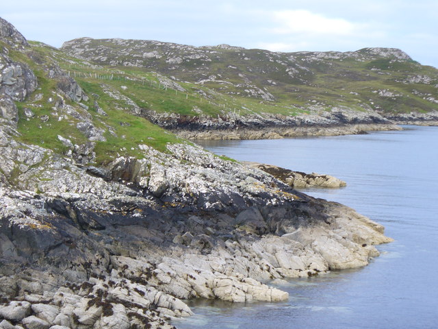
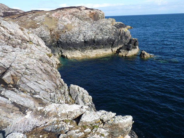
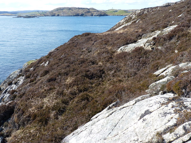
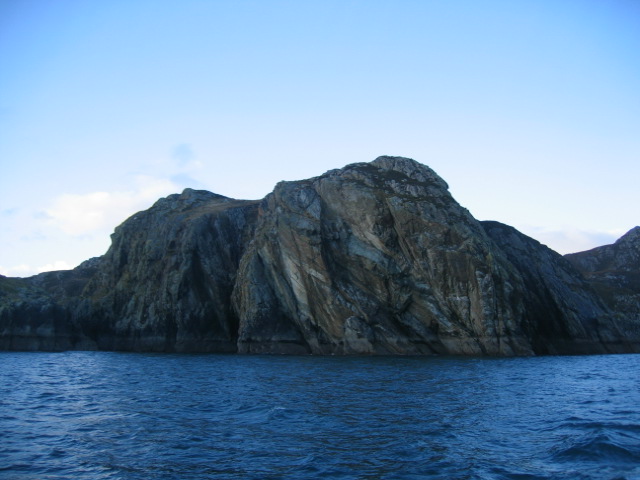
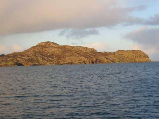
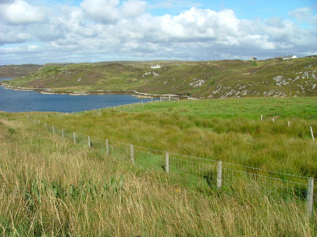
Stac, Ross-shire is a small island located off the northwest coast of Scotland. It is part of the Outer Hebrides archipelago and is situated in the North Atlantic Ocean. The island is known for its rugged and dramatic landscape, with sheer cliffs rising up from the sea.
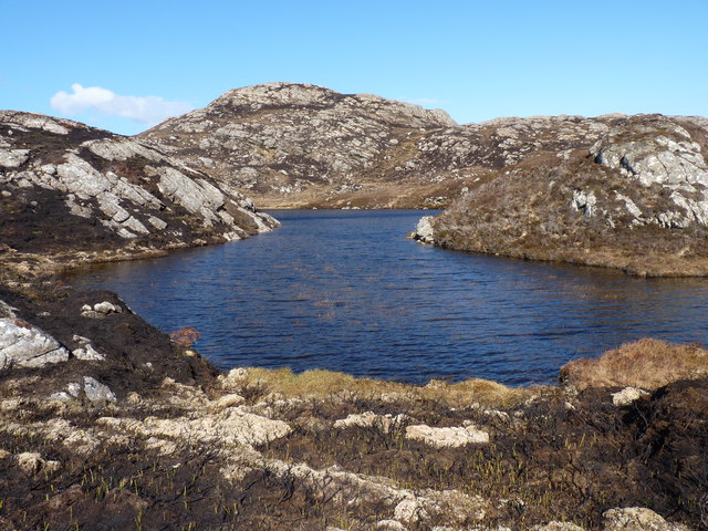
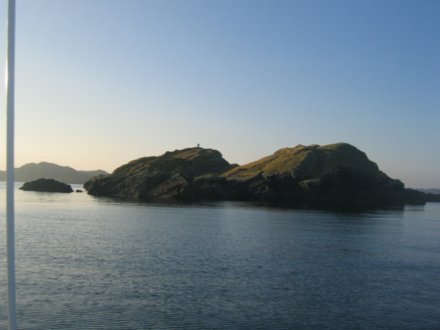
Stac is a uninhabited island, measuring approximately 200 meters in length and 60 meters in height. It is composed mainly of volcanic rock, with jagged formations and steep slopes dominating the terrain. The island's cliffs are home to a variety of seabirds, including puffins, guillemots, and razorbills, making it a popular spot for birdwatching enthusiasts.
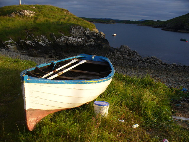
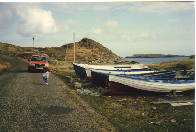
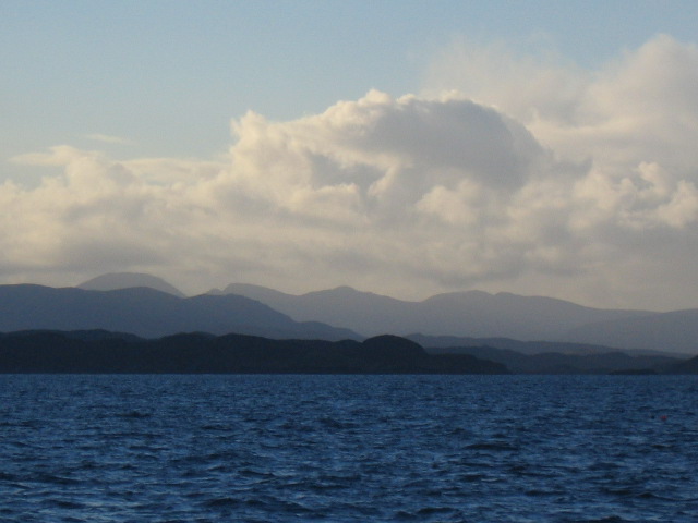
Access to Stac is challenging due to its remote location and treacherous waters. It is primarily visited by adventurous hikers and experienced climbers who are drawn to its unique natural beauty. The island offers stunning panoramic views of the surrounding ocean and neighboring islands, making it a picturesque destination for photography.
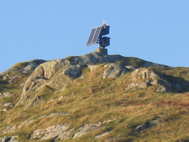
Stac is protected as a nature reserve, ensuring the preservation of its flora and fauna. Visitors are encouraged to respect the island's fragile ecosystem and to adhere to responsible tourism practices. Camping is not permitted on the island to minimize human impact, and visitors are advised to bring their own supplies and take any waste with them when leaving.
In conclusion, Stac, Ross-shire is a captivating uninhabited island with towering cliffs, breathtaking views, and abundant birdlife. Its remote location and challenging access contribute to its allure, attracting outdoor enthusiasts seeking an adventure in a pristine natural environment.
If you have any feedback on the listing, please let us know in the comments section below.
Stac Images
Images are sourced within 2km of 58.130988/-6.3707132 or Grid Reference NB4224. Thanks to Geograph Open Source API. All images are credited.


Stac is located at Grid Ref: NB4224 (Lat: 58.130988, Lng: -6.3707132)
Unitary Authority: Na h-Eileanan an Iar
Police Authority: Highlands and Islands
What 3 Words
///quiet.surpassed.respected. Near Leurbost, Na h-Eileanan Siar
Related Wikis

Cromore
Cromore (Scottish Gaelic: Crò Mòr) is a crofting township on the Isle of Lewis in the district of Pairc, in the Outer Hebrides, Scotland. The settlement...

Crossbost
Crossbost is a village on the Isle of Lewis in the parish of North Lochs, in the Outer Hebrides, Scotland. It is located approximately ten miles away...
North Lochs
North Lochs, (Scottish Gaelic: Ceann a Tuath nan Loch), an area in eastern Lewis, Outer Hebrides, Scotland, is named for the many lochans (small lochs...
Eilean Chaluim Chille
Eilean Chaluim Chille (Gaelic: island of Saint Columba, Calum Cille) is an unpopulated island in the Outer Hebrides. It lies off the east coast of Lewis...

Rainish Eilean Mòr
Rainish Eilean Mòr is an uninhabited island in Loch Orasaigh, north of the village of Leurbost in the area of South Lochs on the Isle of Lewis, Lewis and...

Leurbost
Leurbost (Scottish Gaelic: Liùrbost) is a village on the east coast of the Isle of Lewis in the Outer Hebrides of Scotland. It is approximately 6 miles...

HMY Iolaire
HMY Iolaire was an Admiralty Yacht that sank at the entrance to Stornoway harbour on 1 January 1919, with the loss of at least 201 men out of the 283 on...

Calbost
Calbost (Scottish Gaelic: Calabost) is a village on the Isle of Lewis in the Outer Hebrides, Scotland. Calbost is within the parish of Lochs, and within...
Nearby Amenities
Located within 500m of 58.130988,-6.3707132Have you been to Stac?
Leave your review of Stac below (or comments, questions and feedback).