Cnoc Breac Geodh' nan Cuiseag
Hill, Mountain in Ross-shire
Scotland
Cnoc Breac Geodh' nan Cuiseag
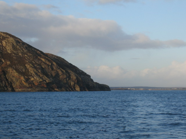
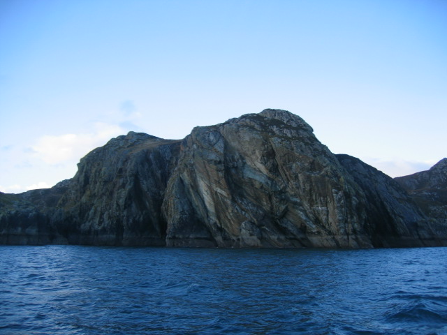
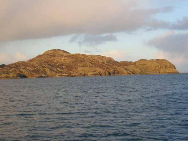
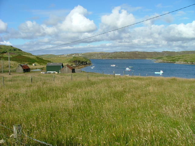
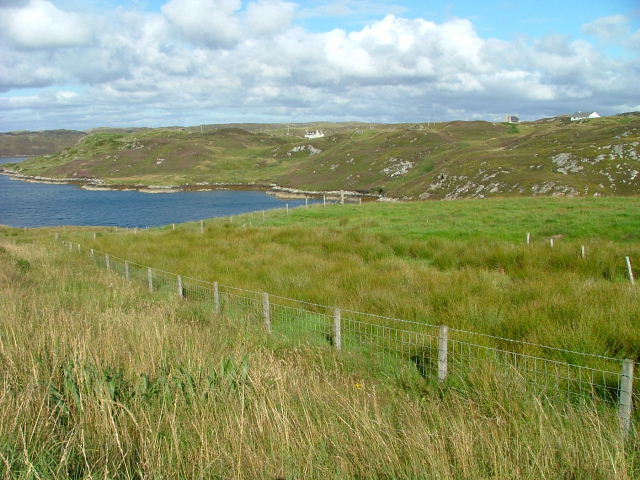
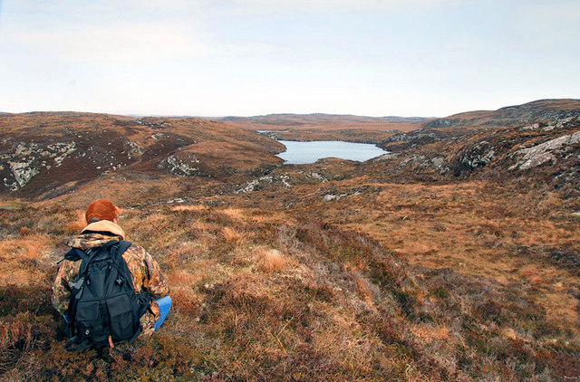
Cnoc Breac Geodh' nan Cuiseag is a prominent hill/mountain located in Ross-shire, Scotland. Situated in the Northwest Highlands, it stands at an elevation of approximately 852 meters (2,795 feet) above sea level. The name "Cnoc Breac Geodh' nan Cuiseag" translates to "Speckled Hill of the Caves of the Flies" in English, which reflects the unique geological features and wildlife found in the area.
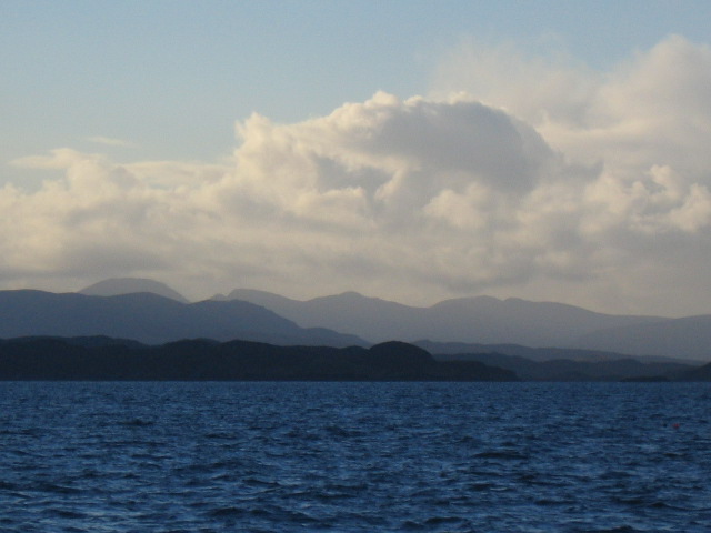
This hill/mountain is characterized by its rugged and rocky terrain, typical of the Scottish Highlands. It is composed of several peaks and ridges, providing stunning panoramic views of the surrounding landscape. On a clear day, one can see the nearby Loch Broom and the distant mountains of Torridon.
Cnoc Breac Geodh' nan Cuiseag is a popular destination for outdoor enthusiasts, particularly hikers and climbers. There are various routes to reach the summit, each offering a different level of difficulty and challenge. The hill/mountain also attracts geologists and nature lovers due to its geological significance and diverse flora and fauna. The area is home to a variety of plant species, including heather, mosses, and wildflowers, while the surrounding forests provide habitat for numerous bird species and mammals such as red deer and mountain hares.
Overall, Cnoc Breac Geodh' nan Cuiseag is a majestic and picturesque hill/mountain that offers a rewarding experience for those seeking adventure and natural beauty in the Scottish Highlands.
If you have any feedback on the listing, please let us know in the comments section below.
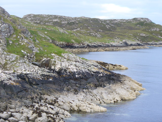
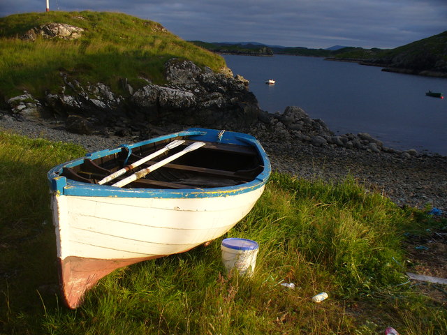
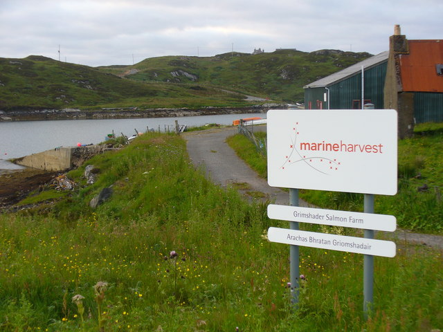
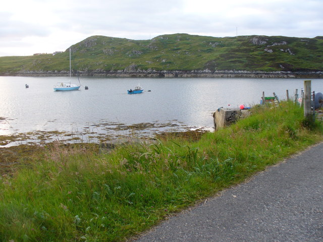
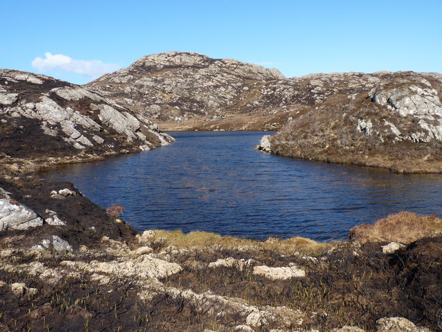
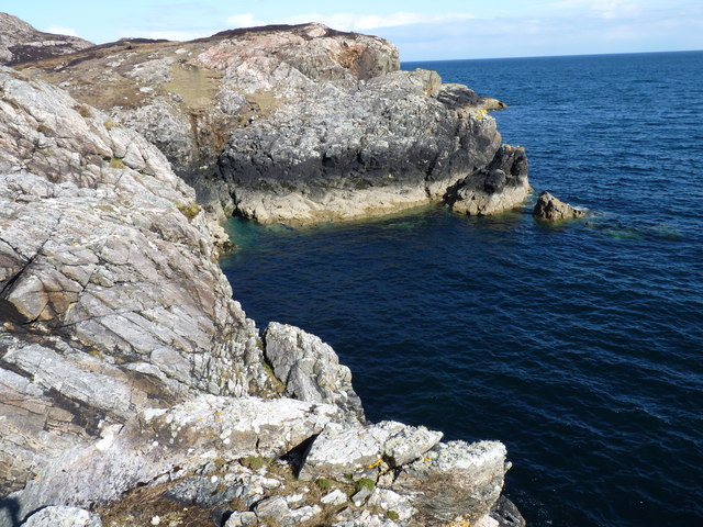
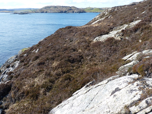
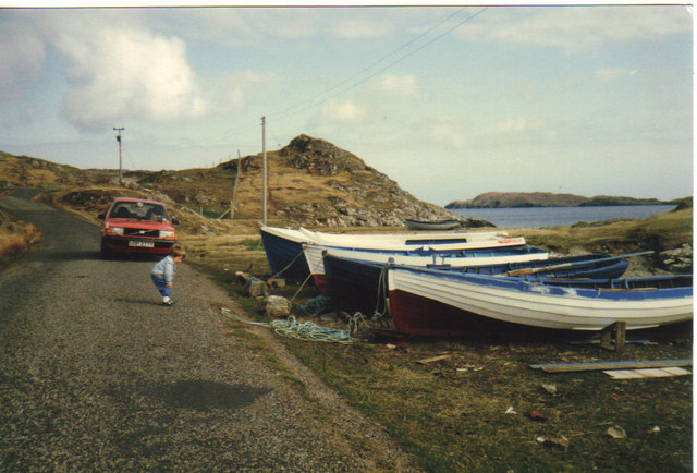
Cnoc Breac Geodh' nan Cuiseag Images
Images are sourced within 2km of 58.137845/-6.3716399 or Grid Reference NB4224. Thanks to Geograph Open Source API. All images are credited.

Cnoc Breac Geodh' nan Cuiseag is located at Grid Ref: NB4224 (Lat: 58.137845, Lng: -6.3716399)
Unitary Authority: Na h-Eileanan an Iar
Police Authority: Highlands and Islands
What 3 Words
///bliss.hissing.provoking. Near Leurbost, Na h-Eileanan Siar
Related Wikis

Crossbost
Crossbost is a village on the Isle of Lewis in the parish of North Lochs, in the Outer Hebrides, Scotland. It is located approximately ten miles away...
North Lochs
North Lochs, (Scottish Gaelic: Ceann a Tuath nan Loch), an area in eastern Lewis, Outer Hebrides, Scotland, is named for the many lochans (small lochs...

Cromore
Cromore (Scottish Gaelic: Crò Mòr) is a crofting township on the Isle of Lewis in the district of Pairc, in the Outer Hebrides, Scotland. The settlement...

Rainish Eilean Mòr
Rainish Eilean Mòr is an uninhabited island in Loch Orasaigh, north of the village of Leurbost in the area of South Lochs on the Isle of Lewis, Lewis and...
Eilean Chaluim Chille
Eilean Chaluim Chille (Gaelic: island of Saint Columba, Calum Cille) is an unpopulated island in the Outer Hebrides. It lies off the east coast of Lewis...

HMY Iolaire
HMY Iolaire was an Admiralty Yacht that sank at the entrance to Stornoway harbour on 1 January 1919, with the loss of at least 201 men out of the 283 on...

Leurbost
Leurbost (Scottish Gaelic: Liùrbost) is a village on the east coast of the Isle of Lewis in the Outer Hebrides of Scotland. It is approximately 6 miles...

Holm, Lewis
Holm Village (Scottish Gaelic: Tolm) is a village in the Scottish Outer Hebrides, on the Isle of Lewis near Stornoway. The modern area of Holm can be split...
Nearby Amenities
Located within 500m of 58.137845,-6.3716399Have you been to Cnoc Breac Geodh' nan Cuiseag?
Leave your review of Cnoc Breac Geodh' nan Cuiseag below (or comments, questions and feedback).