Loch Lighigeag

Lake, Pool, Pond, Freshwater Marsh in Ross-shire

Scotland

Loch Lighigeag

Shore at  Cuidhir Rocky shoreline backed by equally rocky hills at the Cuidhir road end.
Shore at Cuidhir Credit: Colin Smith

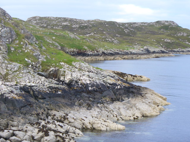
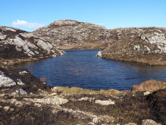
Loch Lighigeag is a small freshwater loch located in Ross-shire, Scotland. Situated amidst stunning Highland scenery, the loch is nestled within the heart of the Scottish Highlands. With a surface area of approximately 10 acres, it is considered a relatively small body of water.

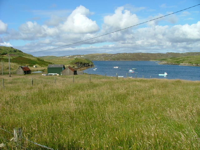
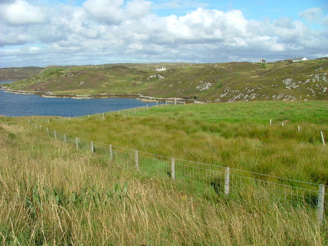
Surrounded by rolling hills and lush greenery, Loch Lighigeag offers a picturesque and tranquil setting for visitors. The loch is known for its crystal-clear waters, which reflect the surrounding landscape, creating a captivating and serene atmosphere.

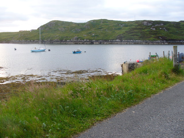
The loch serves as a valuable habitat for various species of wildlife. Birdwatchers are often drawn to the area, as Loch Lighigeag is home to a diverse range of bird species. Common sightings include ducks, swans, and various waterfowl. The loch's reed beds and surrounding marshland provide a suitable habitat for these birds, attracting them in large numbers.

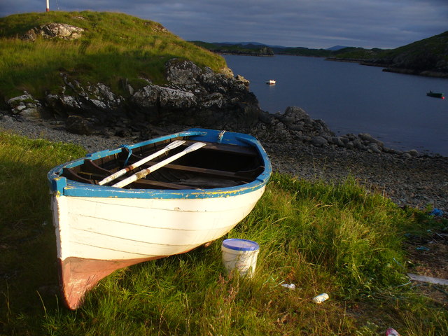
Additionally, Loch Lighigeag is a popular spot for fishing enthusiasts. The loch is inhabited by several species of fish, including trout and perch, making it an ideal location for angling. Fishing permits are available for visitors who wish to engage in this recreational activity.

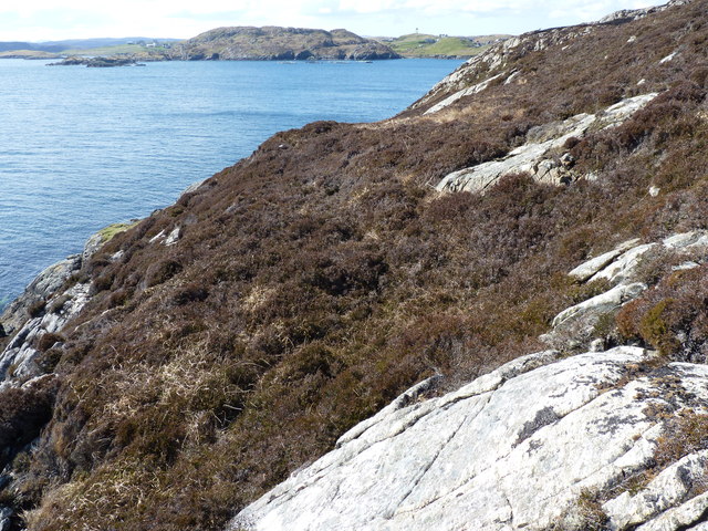
The area surrounding Loch Lighigeag offers various walking trails and hiking opportunities. Nature lovers and outdoor enthusiasts can explore the nearby forests, hills, and moorland, enjoying the breathtaking views and peaceful surroundings.

Overall, Loch Lighigeag is a hidden gem in the Scottish Highlands, offering a tranquil retreat for those seeking natural beauty and wildlife encounters. Whether you are interested in birdwatching, fishing, or simply immersing yourself in nature, Loch Lighigeag is a must-visit destination.

If you have any feedback on the listing, please let us know in the comments section below.

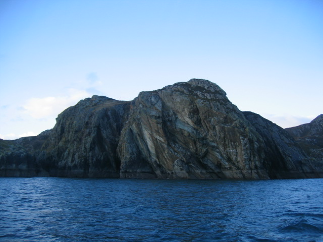
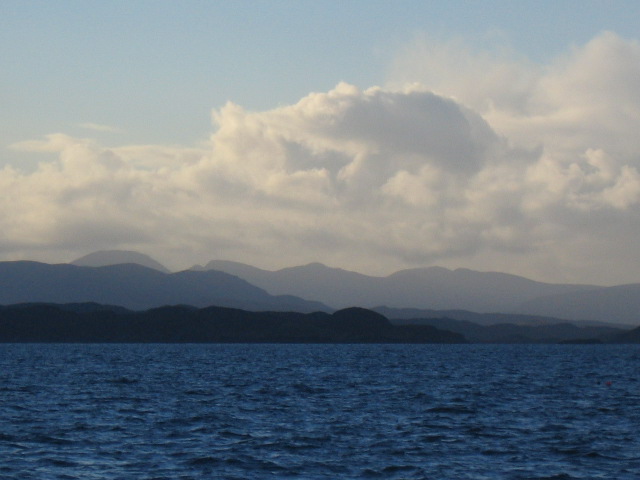
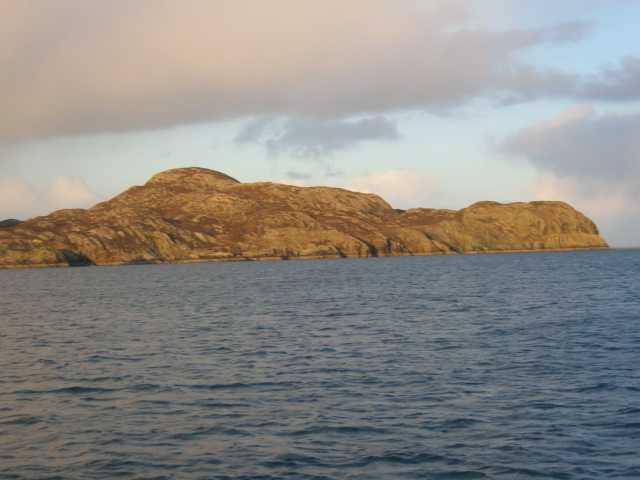
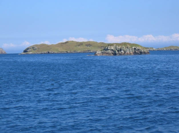
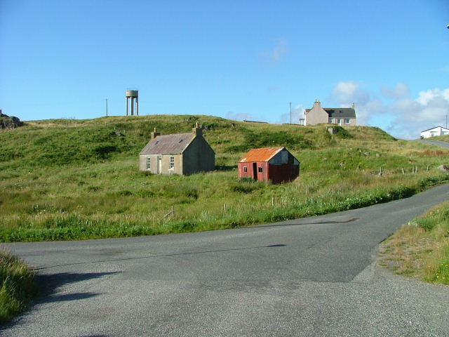
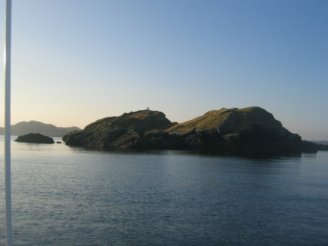
Loch Lighigeag Images

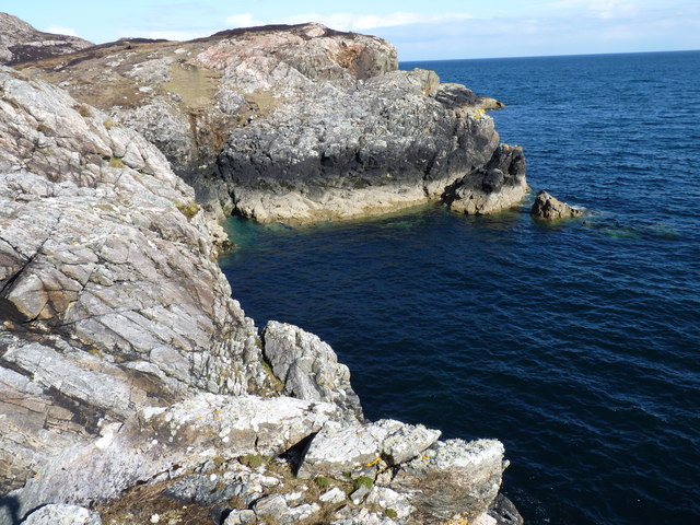
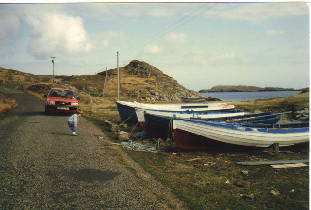
Images are sourced within 2km of 58.13287/-6.3790371 or Grid Reference NB4224. Thanks to Geograph Open Source API. All images are credited.

Shore at  Cuidhir Rocky shoreline backed by equally rocky hills at the Cuidhir road end.
Shore at Cuidhir
Rocky shoreline backed by equally rocky hills at the Cuidhir road end.
Evening at Cuidhir Rowing boat, in the evening sunshine, pulled up onto the grass above the small, rocky cove at Cuidhir.
Evening at Cuidhir
Rowing boat, in the evening sunshine, pulled up onto the grass above the small, rocky cove at Cuidhir.
Grimshader Salmon Farm Marine Harvest - Arachas Bhratan Griomshadair. Sea loch industry on the shores of Loch Griomsiadair.
Grimshader Salmon Farm
Marine Harvest - Arachas Bhratan Griomshadair. Sea loch industry on the shores of Loch Griomsiadair.
Loch Griomsiadair Yacht and lobster boat moored in the sheltered sea loch at Grimshader which is also used for salmon farming.
Loch Griomsiadair
Yacht and lobster boat moored in the sheltered sea loch at Grimshader which is also used for salmon farming.
Loch Lighigeag with Beinn-Mhòr in the background
Small inlet near Eilean Glas
Coastline
Coastline
Boats at Cuidhir Loch Leurbost The Islands of Tabhaidh Bheag and Tabhaidh are clearly seen in distance.
Boats at Cuidhir Loch Leurbost
The Islands of Tabhaidh Bheag and Tabhaidh are clearly seen in distance.
Entrance to Loch Grimshader Loch Grimshader is the first Sea Loch South of Stornoway.
Ben Casgro prominent on North Side of Loch.
Entrance to Loch Grimshader
Loch Grimshader is the first Sea Loch South of Stornoway. Ben Casgro prominent on North Side of Loch.
Stac and Beinn Mhor Prominent Land Mark at the North side of Loch Erisort
Stac and Beinn Mhor
Prominent Land Mark at the North side of Loch Erisort
Tabhaidh Mhor As the name suggests Tabhaidh Mhor is a large Island in outer Loch Erisort and rises to 41 metres above sea level. It is used for grazing sheep from the nearby villages. Stac Tabhaidh can be seen to the left of the picture.
Tabhaidh Mhor
As the name suggests Tabhaidh Mhor is a large Island in outer Loch Erisort and rises to 41 metres above sea level. It is used for grazing sheep from the nearby villages. Stac Tabhaidh can be seen to the left of the picture.
Entrance to Loch Erisort Eilean Cholum Chille (St.Columba's Isle) in mid picture and Clisham 799m -highest hill in Hebrides in distance to left of frame
Entrance to Loch Erisort
Eilean Cholum Chille (St.Columba's Isle) in mid picture and Clisham 799m -highest hill in Hebrides in distance to left of frame
Rubha Raernis This headland forms the Southern Shore of Loch Grimshader and the Northern Shore of Loch Leurbost and leads to the entrance of Loch Erisort
Rubha Raernis
This headland forms the Southern Shore of Loch Grimshader and the Northern Shore of Loch Leurbost and leads to the entrance of Loch Erisort
Eilean Bhatarsaidh Unnamed Islet in foreground and Stac at Loch Erisort Entrance in distance (left of frame). Collectively these Islands are referred to as Na h-Eileanan Bairclin or Barkin Isles.
Eilean Bhatarsaidh
Unnamed Islet in foreground and Stac at Loch Erisort Entrance in distance (left of frame). Collectively these Islands are referred to as Na h-Eileanan Bairclin or Barkin Isles.
Old croft buildings at Ranais
Grazing land at Ranais Overlooking Loch Griomsiadar.
Grazing land at Ranais
Overlooking Loch Griomsiadar.
Loch Sgeireach On Aird Raerinis.
Loch Sgeireach
On Aird Raerinis.
Tabhaigh Beag The navigation light can be seen on the hillock to the left of the photograph
Tabhaigh Beag
The navigation light can be seen on the hillock to the left of the photograph
Show me another place!

Loch Lighigeag is located at Grid Ref: NB4224 (Lat: 58.13287, Lng: -6.3790371)

Unitary Authority: Na h-Eileanan an Iar

Police Authority: Highlands and Islands

What 3 Words

///linguists.advising.reward. Near Leurbost, Na h-Eileanan Siar

Related Wikis

Crossbost

Crossbost is a village on the Isle of Lewis in the parish of North Lochs, in the Outer Hebrides, Scotland. It is located approximately ten miles away...

Cromore

Cromore (Scottish Gaelic: Crò Mòr) is a crofting township on the Isle of Lewis in the district of Pairc, in the Outer Hebrides, Scotland. The settlement...

North Lochs

North Lochs, (Scottish Gaelic: Ceann a Tuath nan Loch), an area in eastern Lewis, Outer Hebrides, Scotland, is named for the many lochans (small lochs...

Eilean Chaluim Chille

Eilean Chaluim Chille (Gaelic: island of Saint Columba, Calum Cille) is an unpopulated island in the Outer Hebrides. It lies off the east coast of Lewis...

Nearby Amenities

Located within 500m of 58.13287,-6.3790371
Ele: 104
Natural: peak
Source: OS7
Lat/Long: 58.1340207/-6.3757449
The data included in this document is from www.openstreetmap.org. The data is made available under ODbL.

Have you been to Loch Lighigeag?

Leave your review of Loch Lighigeag below (or comments, questions and feedback).