Leum na Làire
Coastal Feature, Headland, Point in Ross-shire
Scotland
Leum na Làire
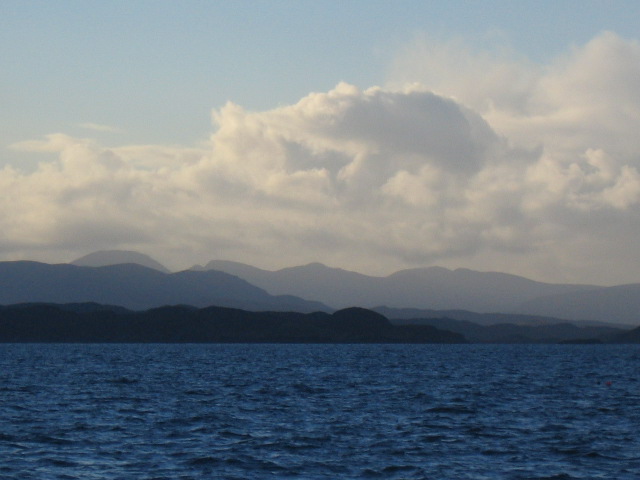
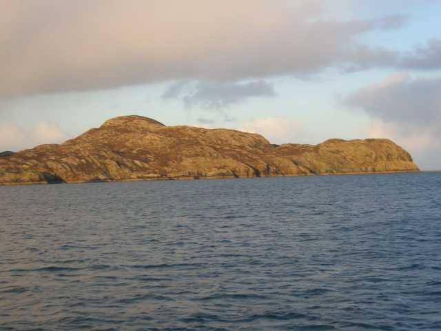
Leum na Làire is a prominent coastal feature located in Ross-shire, Scotland. It is classified as a headland or point, jutting out into the North Atlantic Ocean. The name "Leum na Làire" is derived from Scottish Gaelic, meaning "the leap of the mare."
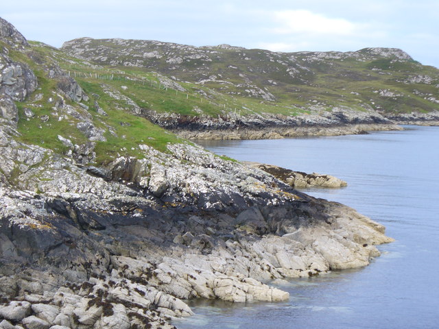
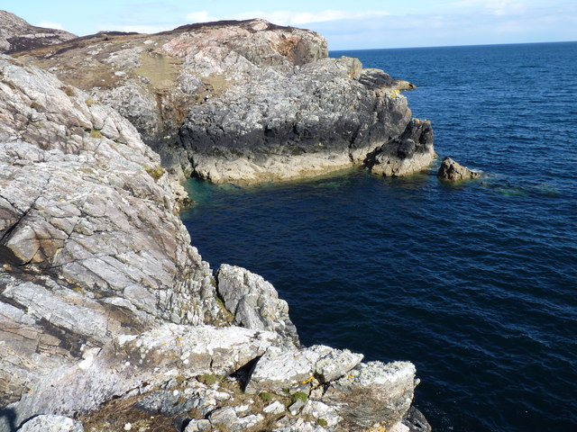
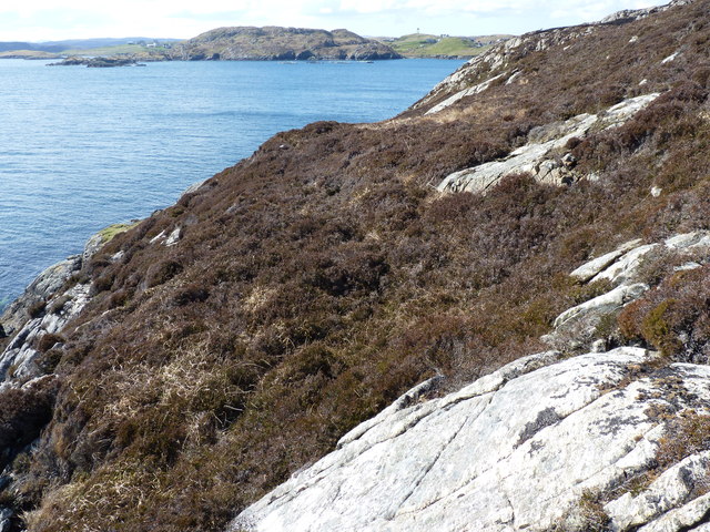
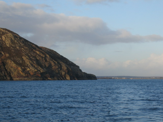
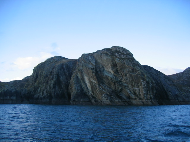
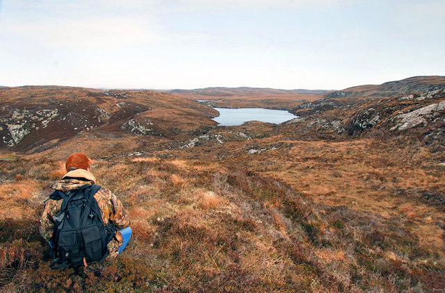
This headland is characterized by its rugged and dramatic cliffs, which rise steeply from the sea, offering breathtaking views of the surrounding landscape. The cliffs are composed of sedimentary rocks, mainly sandstone and shale, which showcase various hues of red and brown.
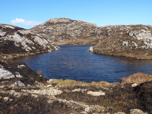
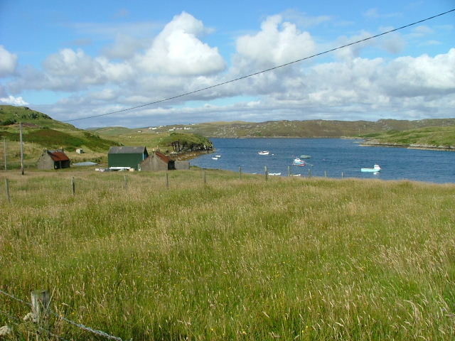
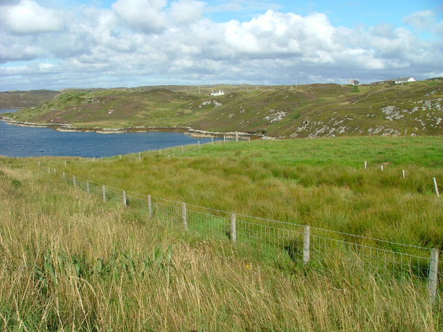
At the top of the headland, there is a small grassy plateau, providing an ideal spot for visitors to admire the panoramic vistas of the ocean and the coastal scenery. The plateau is often frequented by seabirds, including gulls, puffins, and razorbills, making it a popular destination for birdwatchers.
Leum na Làire is also known for its rich marine life. The area is home to a diverse range of species, such as seals, dolphins, and occasional sightings of whales. The surrounding waters offer excellent opportunities for fishing and diving, attracting enthusiasts from near and far.
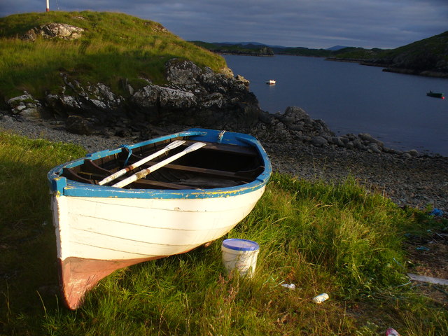
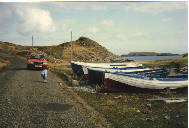
Access to Leum na Làire is available via a well-maintained footpath that leads from a nearby village. The headland is a popular destination for hikers, nature lovers, and photographers, who are drawn to its natural beauty and tranquil atmosphere.
In summary, Leum na Làire is a striking headland in Ross-shire, Scotland, offering stunning cliffs, diverse wildlife, and remarkable panoramic views of the North Atlantic Ocean.
If you have any feedback on the listing, please let us know in the comments section below.
Leum na Làire Images
Images are sourced within 2km of 58.135788/-6.3697549 or Grid Reference NB4224. Thanks to Geograph Open Source API. All images are credited.


Leum na Làire is located at Grid Ref: NB4224 (Lat: 58.135788, Lng: -6.3697549)
Unitary Authority: Na h-Eileanan an Iar
Police Authority: Highlands and Islands
What 3 Words
///shut.united.verb. Near Leurbost, Na h-Eileanan Siar
Nearby Locations
Related Wikis

Crossbost
Crossbost is a village on the Isle of Lewis in the parish of North Lochs, in the Outer Hebrides, Scotland. It is located approximately ten miles away...

Cromore
Cromore (Scottish Gaelic: Crò Mòr) is a crofting township on the Isle of Lewis in the district of Pairc, in the Outer Hebrides, Scotland. The settlement...
North Lochs
North Lochs, (Scottish Gaelic: Ceann a Tuath nan Loch), an area in eastern Lewis, Outer Hebrides, Scotland, is named for the many lochans (small lochs...

Rainish Eilean Mòr
Rainish Eilean Mòr is an uninhabited island in Loch Orasaigh, north of the village of Leurbost in the area of South Lochs on the Isle of Lewis, Lewis and...
Eilean Chaluim Chille
Eilean Chaluim Chille (Gaelic: island of Saint Columba, Calum Cille) is an unpopulated island in the Outer Hebrides. It lies off the east coast of Lewis...

Leurbost
Leurbost (Scottish Gaelic: Liùrbost) is a village on the east coast of the Isle of Lewis in the Outer Hebrides of Scotland. It is approximately 6 miles...

HMY Iolaire
HMY Iolaire was an Admiralty Yacht that sank at the entrance to Stornoway harbour on 1 January 1919, with the loss of at least 201 men out of the 283 on...

Holm, Lewis
Holm Village (Scottish Gaelic: Tolm) is a village in the Scottish Outer Hebrides, on the Isle of Lewis near Stornoway. The modern area of Holm can be split...
Nearby Amenities
Located within 500m of 58.135788,-6.3697549Have you been to Leum na Làire?
Leave your review of Leum na Làire below (or comments, questions and feedback).