Beinn Bhreac

Hill, Mountain in Argyllshire

Scotland

Beinn Bhreac
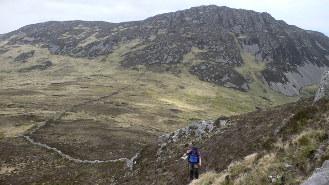
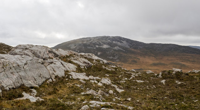
Heading up the NE ridge of Glas Bheinn with Sgorr nan Faoileann in the background
Heading up the NE ridge of Glas Bheinn with Sgorr nan Faoileann in the background Credit: Peter Edwards

The requested URL returned error: 429 Too Many Requests

If you have any feedback on the listing, please let us know in the comments section below.

Beinn Bhreac Images

Images are sourced within 2km of 55.778055/-6.103413 or Grid Reference NR4261. Thanks to Geograph Open Source API. All images are credited.

Heading up the NE ridge of Glas Bheinn with Sgorr nan Faoileann in the background
Sunlit grassed knoll The strikingly lit grassy knoll lies to the east of the house at Storakaig on ground rising eastwards ultimately to the mountain, Sgorr nam Faoileann. Bheinn Bhàn is the distant cloud-shadowed mountain.
Sunlit grassed knoll
The strikingly lit grassy knoll lies to the east of the house at Storakaig on ground rising eastwards ultimately to the mountain, Sgorr nam Faoileann. Bheinn Bhàn is the distant cloud-shadowed mountain.
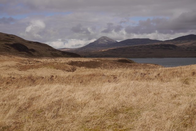
Knoll on western slopes Sgorr nam Faoileann Long moorland slopes rise from the vicinity of Storakaig towards Sgorr nam Faoileann; there are many knolls in the area and this image was recorded from one of them. Beinn Dubh, beyond is sunlit; the more distant cloud-shadowed mountain is probably Dubh Bheinn on Jura.
Knoll on western slopes Sgorr nam Faoileann
Long moorland slopes rise from the vicinity of Storakaig towards Sgorr nam Faoileann; there are many knolls in the area and this image was recorded from one of them. Beinn Dubh, beyond is sunlit; the more distant cloud-shadowed mountain is probably Dubh Bheinn on Jura.
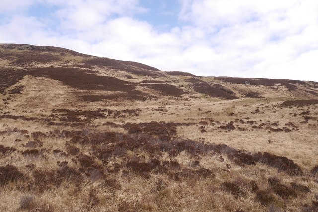
Rocks of upper slope of Sgorr nam Faoileann The lower western slopes of Sgorr nam Faoileann are of boggy moorland but as height is gained the ground becomes more firm with heather and rock outcrops.
Rocks of upper slope of Sgorr nam Faoileann
The lower western slopes of Sgorr nam Faoileann are of boggy moorland but as height is gained the ground becomes more firm with heather and rock outcrops.
Rocks of west ridge of Sgorr nam Faoileann The approach to Sgorr nam Faoileann from the west is initially over boggy moorland but eventually the ground becomes less wet and rock outcrops appear; those here are on the west ridge of the mountain. Glas Bheinn is in the distance.
Rocks of west ridge of Sgorr nam Faoileann
The approach to Sgorr nam Faoileann from the west is initially over boggy moorland but eventually the ground becomes less wet and rock outcrops appear; those here are on the west ridge of the mountain. Glas Bheinn is in the distance.
Rock outcrop west of summit of Sgorr nam Faoileann The rocks are at a height of around 380 metres, rather less than 50 metres below the mountain summit. Glas Bheinn is beyond.
Rock outcrop west of summit of Sgorr nam Faoileann
The rocks are at a height of around 380 metres, rather less than 50 metres below the mountain summit. Glas Bheinn is beyond.
Ground rising on west ridge of Sgorr nam Faoileann The west ridge of Sgorr nam Faoileann is grassy lower down but above the location in the image it becomes progressively rockier on its way to the mountain's summit.
Ground rising on west ridge of Sgorr nam Faoileann
The west ridge of Sgorr nam Faoileann is grassy lower down but above the location in the image it becomes progressively rockier on its way to the mountain's summit.
Bog land by Storakaig Looking across the flat boggy col at the head of Glen Logan towards the limestone enriched greenery around Goirtain an Uruisge.
Bog land by Storakaig
Looking across the flat boggy col at the head of Glen Logan towards the limestone enriched greenery around Goirtain an Uruisge.
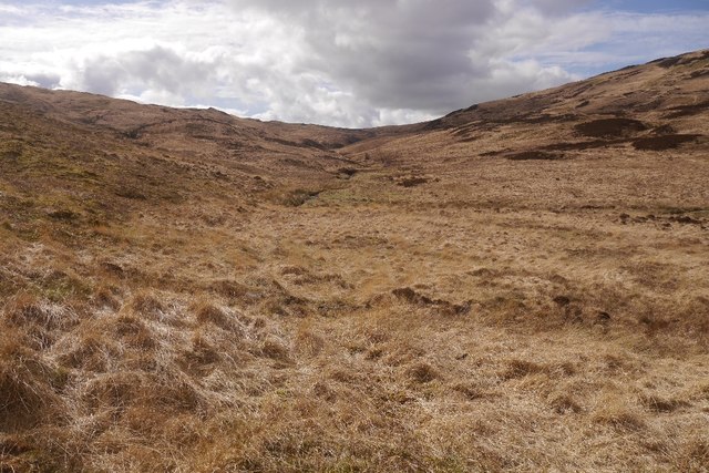
Southern slopes of Beinn Dubh Rough ground with deep moor grass.
Southern slopes of Beinn Dubh
Rough ground with deep moor grass.
Old boundaries, Glen Logan The overgrown remains of farming infrastructure at the head of Glen Logan.
Old boundaries, Glen Logan
The overgrown remains of farming infrastructure at the head of Glen Logan.
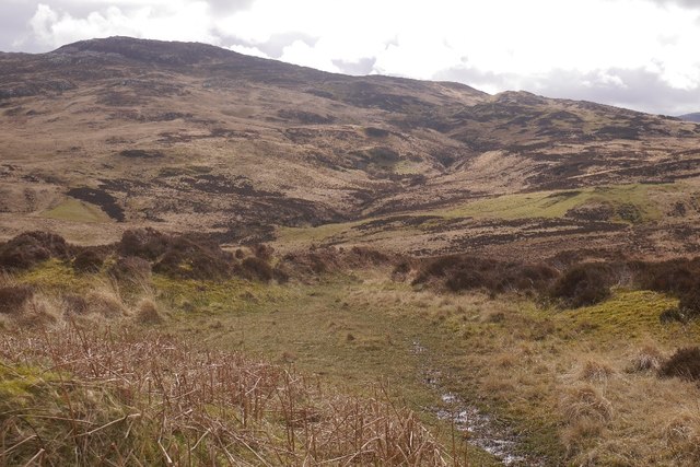
Glen Logan Greenery in the foreground is due to limestone bed rock and there are ruins here. Most of the glen is infertile.
Glen Logan
Greenery in the foreground is due to limestone bed rock and there are ruins here. Most of the glen is infertile.
Abhainn Gleann Logain Glen Logan is infertile, mostly covered in deep moor grass and bog.  The odd green patch such as the big one here at Goirtean and Uruisge show outcrops of limestone.
Abhainn Gleann Logain
Glen Logan is infertile, mostly covered in deep moor grass and bog. The odd green patch such as the big one here at Goirtean and Uruisge show outcrops of limestone.
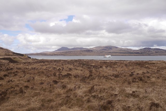
A ferry passes Glen Logan Finlaggan, heading for Port Askaig.
A ferry passes Glen Logan
Finlaggan, heading for Port Askaig.
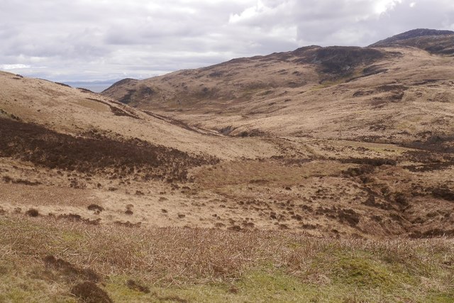
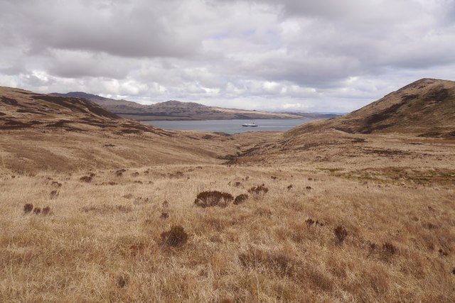
Glen Logan View up the glen, an expanse of moorgrass, slippery underfoot.
Glen Logan
View up the glen, an expanse of moorgrass, slippery underfoot.
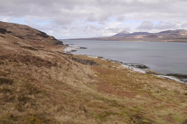
Glen Logan A view towards Beinn a' Chaolais along the Sound of Islay.
Glen Logan
A view towards Beinn a' Chaolais along the Sound of Islay.
Lùb Gleann Logain The mouth of Glen Logan on the Sound of Islay. There is a fine example of a raised beach here.
Lùb Gleann Logain
The mouth of Glen Logan on the Sound of Islay. There is a fine example of a raised beach here.
A ferry passes Glen Logan Finlaggan in the Sound of Islay, heading for Kennacraig.
A ferry passes Glen Logan
Finlaggan in the Sound of Islay, heading for Kennacraig.
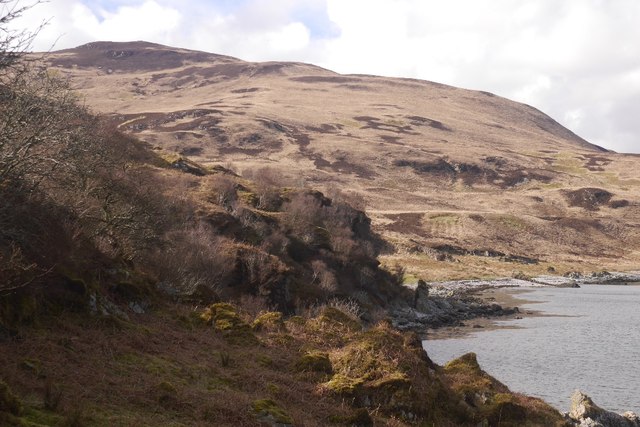
Raised beach, Sound of Islay Near the outlet of Glen Logan with Beinn Dubh in the background.  The going along the shoreline is quite difficult in places, especially at high water.
Raised beach, Sound of Islay
Near the outlet of Glen Logan with Beinn Dubh in the background. The going along the shoreline is quite difficult in places, especially at high water.
Show me another place!

Beinn Bhreac is located at Grid Ref: NR4261 (Lat: 55.778055, Lng: -6.103413)

Unitary Authority: Argyll and Bute

Police Authority: Argyll and West Dunbartonshire

What 3 Words

///successor.accented.index. Near Ballygrant, Argyll & Bute

Nearby Locations

Beinn Bhreac

Related Wikis

Islay

Islay ( EYE-lə; Scottish Gaelic: Ìle, Scots: Ila) is the southernmost island of the Inner Hebrides of Scotland. Known as "The Queen of the Hebrides",...

Claig Castle

Claig Castle was a stronghold of the Clan Donald or MacDonald in the south of Scotland. == History == The castle was once a massive fort described as a...

Beinn Bheigeir

Beinn Bheigeir (occasionally anglicised as "Ben Vicar") is a hill on the island of Islay in Scotland, UK. At 491 m, it is the highest of the seven 'Marilyn...

Dun Guaidhre

Dun Guaidhre, also known as Dùn Ghùaidhre, is an Iron Age fort southwest of Kilmeny, Islay, Scotland. It is protected as a scheduled monument.Local tradition...

Have you been to Beinn Bhreac?

Leave your review of Beinn Bhreac below (or comments, questions and feedback).