Eilean an Fhuarain

Island in Argyllshire

Scotland

Eilean an Fhuarain

Garden doorway At Glen Gorm Castle.
Garden doorway Credit: Andrew Abbott

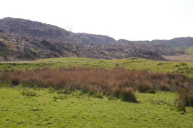
Eilean an Fhuarain, located in Argyllshire, Scotland, is a small island situated in the Firth of Lorn. Also known as "The Island of the Cold Point," it covers an area of approximately 20 hectares. The island is uninhabited and is mainly composed of rocky terrain, with sparse vegetation and a rugged coastline.

Eilean an Fhuarain is known for its stunning natural beauty, offering breathtaking views of the surrounding seascape and the nearby mainland. The island is surrounded by crystal-clear waters, making it a popular spot for divers and snorkelers who come to explore the rich marine life and underwater caves.

The island boasts a diverse range of wildlife, including seabirds such as gulls, fulmars, and cormorants, as well as seals and otters that can often be spotted lounging on the rocky shores. The surrounding waters are also home to an abundance of fish, attracting anglers from afar.

Access to Eilean an Fhuarain is primarily by boat, with no regular ferry services available. The island remains largely untouched by human presence, providing a peaceful and tranquil escape from the bustling mainland. Visitors can explore the island's rugged landscape, take in the panoramic views, and experience the serenity of this remote piece of land.

Eilean an Fhuarain is a hidden gem, offering nature enthusiasts and adventure seekers a unique opportunity to immerse themselves in the unspoiled beauty of Scotland's west coast.

If you have any feedback on the listing, please let us know in the comments section below.

Eilean an Fhuarain Images

Images are sourced within 2km of 56.643086/-6.1975478 or Grid Reference NM4258. Thanks to Geograph Open Source API. All images are credited.

Garden doorway At Glen Gorm Castle.
Garden doorway
At Glen Gorm Castle.
Garden Cottage At Glen Gorm Castle.
Garden Cottage
At Glen Gorm Castle.
Glengorm Castle Category B listed. Listing number LB11014. 
Dating from 1860. Architects Kinnear and Peddie. Scots Baronial style. Built for James Forsyth of Quinish who acquired Mishnish 1856 and cleared away the township on the estate.
Glengorm Castle
Category B listed. Listing number LB11014. Dating from 1860. Architects Kinnear and Peddie. Scots Baronial style. Built for James Forsyth of Quinish who acquired Mishnish 1856 and cleared away the township on the estate.
Glengorm coffee shop Formerly the kennels for Glengorm Castle.
Glengorm coffee shop
Formerly the kennels for Glengorm Castle.
Glengorm Castle Every time I see a castle like this that has been turned into a hotel I think of Christopher Brookmyre's Be My Enemy...
Glengorm Castle
Every time I see a castle like this that has been turned into a hotel I think of Christopher Brookmyre's Be My Enemy...
Glengorm stone row Three standing stones represent the remains of a prehistoric stone row.
<span class="nowrap"><a title="https://stonerows.wordpress.com/gazetteer/region/argyll-and-isles/glengorm/" rel="nofollow ugc noopener" href="https://stonerows.wordpress.com/gazetteer/region/argyll-and-isles/glengorm/">Link</a><img style="margin-left:2px;" alt="External link" title="External link - shift click to open in new window" src="https://s1.geograph.org.uk/img/external.png" width="10" height="10"/></span>
Glengorm stone row
Three standing stones represent the remains of a prehistoric stone row. LinkExternal link
Dùn Ara Ruined castle above a ring of basalt crags. A popular walking destination from Glengorm Castle.
Dùn Ara
Ruined castle above a ring of basalt crags. A popular walking destination from Glengorm Castle.
Rhododendron clearance, Glengorm Castle Big houses in the Highlands are often surrounded by a Rhododendron ponticum infestation. There has been a lot of clearing work here recently.
Rhododendron clearance, Glengorm Castle
Big houses in the Highlands are often surrounded by a Rhododendron ponticum infestation. There has been a lot of clearing work here recently.
Track in front of Glengorm Castle One of the very popular walks from the cafe and visitor centre.
Track in front of Glengorm Castle
One of the very popular walks from the cafe and visitor centre.
Lambing, Glengorm Castle The quadbike is doing the rounds, Ardnamurchan forms the background.
Lambing, Glengorm Castle
The quadbike is doing the rounds, Ardnamurchan forms the background.
Tracks, Glengorm Castle Looking towards the standing stones.
Tracks, Glengorm Castle
Looking towards the standing stones.
Standing stones, Glengorm Castle A much altered site, two of the stones have been reerected and a modern enclosure of stones built around them.
Standing stones, Glengorm Castle
A much altered site, two of the stones have been reerected and a modern enclosure of stones built around them.
Felled area, Glengorm Castle A conifer plantation has been recently felled.
Felled area, Glengorm Castle
A conifer plantation has been recently felled.
Standing stones, Glengorm Castle A much altered site, two of the stones had fallen and the stone enclosure is modern.
Standing stones, Glengorm Castle
A much altered site, two of the stones had fallen and the stone enclosure is modern.
Druim Reidh Ewes and lambs amongst basalt scenery, Glengorm Castle.
Druim Reidh
Ewes and lambs amongst basalt scenery, Glengorm Castle.
Basalt landscape, Glengorm Castle Small craggy hills are common in this part of Mull, the eroded remains of Tertiary lava flows.
Basalt landscape, Glengorm Castle
Small craggy hills are common in this part of Mull, the eroded remains of Tertiary lava flows.
Dùn Ara An important archaeological site surrounds the basalt crag and its ruined fort. There are the remains of a dock, houses and industrial activity here, a former McKinnon stronghold. The summit ruins are a good viewpoint.
Dùn Ara
An important archaeological site surrounds the basalt crag and its ruined fort. There are the remains of a dock, houses and industrial activity here, a former McKinnon stronghold. The summit ruins are a good viewpoint.
Torr na h-Aithne An isolated tower formed from a Tertiary lava flow.  The similar Dùn Ara is in the background.
Torr na h-Aithne
An isolated tower formed from a Tertiary lava flow. The similar Dùn Ara is in the background.
Show me another place!

Eilean an Fhuarain is located at Grid Ref: NM4258 (Lat: 56.643086, Lng: -6.1975478)

Unitary Authority: Argyll and Bute

Police Authority: Argyll and West Dunbartonshire

What 3 Words

///shields.clothed.charts. Near Dervaig, Argyll & Bute

Nearby Locations

Eilean an Fhuarain

Related Wikis

Glengorm Castle

Glengorm Castle, also known as Castle Sorn, is a 19th-century country house on the Isle of Mull, Scotland. Located in Mishnish, 6 kilometres (4 mi) northwest...

Battle of Bloody Bay

The Battle of Bloody Bay, or Blàr Bàgh na Fala in Scottish Gaelic, was a naval battle fought near Tobermory, Scotland. It was fought on the coast of Mull...

Dervaig

Dervaig (Scottish Gaelic: Dearbhaig) is a small village on the Isle of Mull off the west coast of Scotland. The village is within the parish of Kilninian...

Rubha nan Gall

Rubha nan Gall lighthouse is located north of Tobermory on the Isle of Mull beside the Sound of Mull. The name means "Stranger's Point" in Scottish Gaelic...

Calgary, Mull

Calgary is a hamlet on the northwest coast of the Isle of Mull, in Argyll and Bute, Scotland, United Kingdom. The hamlet is within the parish of Kilninian...

Tobermory High School

Tobermory High School (Scottish Gaelic: Àrd-sgoil Thobar Mhoire) is the only secondary school on the Isle of Mull. It is located in Tobermory, at the northern...

Tobermory distillery

Tobermory distillery is a Scotch whisky distillery situated on the Hebridean island of Mull, Scotland in the town of Tobermory. The distillery, which...
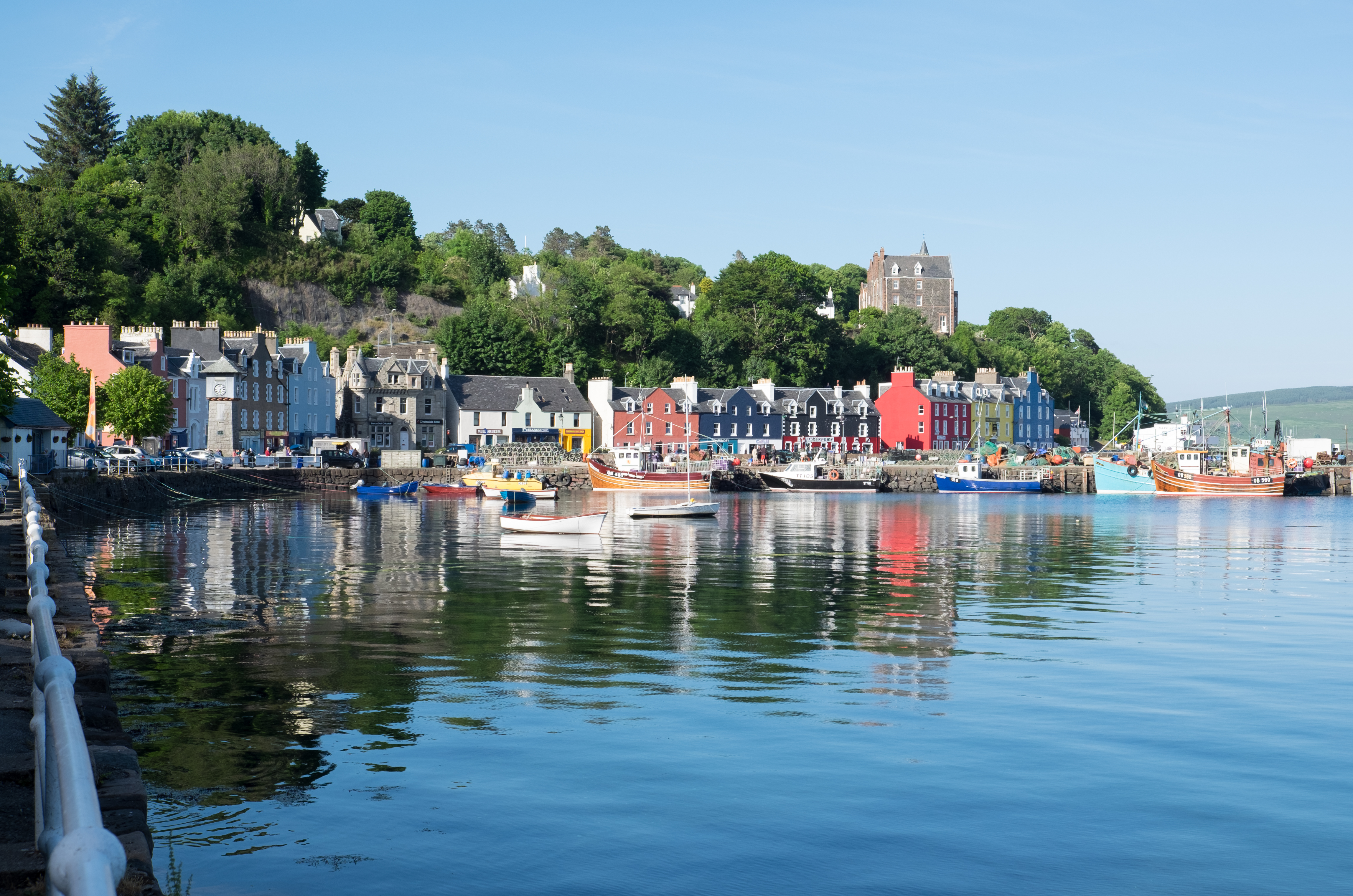
Tobermory, Mull

Tobermory (; Scottish Gaelic: Tobar Mhoire) is the capital of, and until 1973 the only burgh on, the Isle of Mull in the Scottish Inner Hebrides. It is...

Nearby Amenities

Located within 500m of 56.643086,-6.1975478
Source: PGS
Lat/Long: 56.6391413/-6.1979016
Dun 'Ara Fort
Historic: ruins
Lat/Long: 56.6403433/-6.1978513
Sorne Point
Wikidata: Q24637466
Lat/Long: 56.6418986/-6.1996005
The data included in this document is from www.openstreetmap.org. The data is made available under ODbL.

Have you been to Eilean an Fhuarain?

Leave your review of Eilean an Fhuarain below (or comments, questions and feedback).