An Dubh-Eilean
Island in Argyllshire
Scotland
An Dubh-Eilean

An Dubh-Eilean, also known as Black Island, is a small island located in Argyllshire, Scotland. Situated in the Inner Hebrides, it lies in the Sound of Mull, just off the western coast of the mainland. The island covers an area of about 1.5 square miles and has a population of around 50 people.
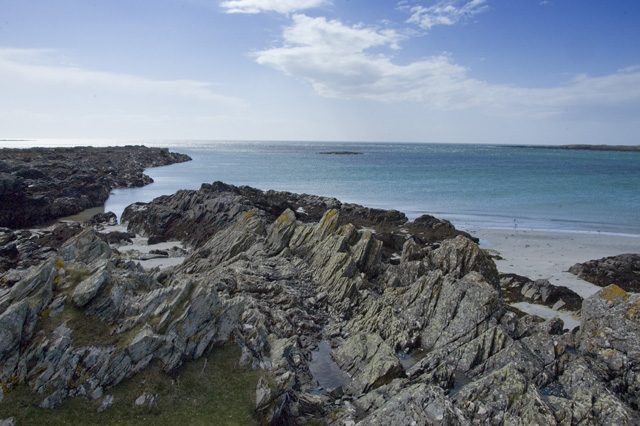
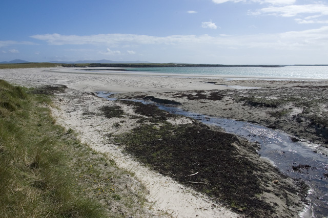
An Dubh-Eilean is renowned for its natural beauty, with rugged cliffs, pristine beaches, and lush greenery. The island is dominated by a prominent summit known as Beinn a' Ghraig, which offers stunning panoramic views of the surrounding landscape. The island's coastline is dotted with numerous sea caves and rock formations, providing a haven for marine wildlife such as seals and seabirds.
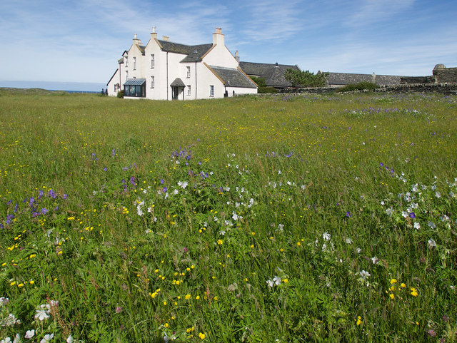
The main settlement on the island is Port Ramsay, a picturesque fishing village that serves as a hub for the local community. The village is characterized by traditional stone houses, a small harbor, and a lively pub that serves as a gathering place for residents and visitors alike.
An Dubh-Eilean's economy largely relies on fishing, agriculture, and tourism. The island attracts visitors from across the globe who come to enjoy its unspoiled natural environment, undertake outdoor activities such as hiking, birdwatching, and fishing, or simply relax in the tranquil surroundings.
Although remote, An Dubh-Eilean is easily accessible by ferry from the nearby town of Oban. The island offers a unique escape from the bustling mainland, providing a peaceful retreat in the heart of Scotland's stunning west coast.
If you have any feedback on the listing, please let us know in the comments section below.
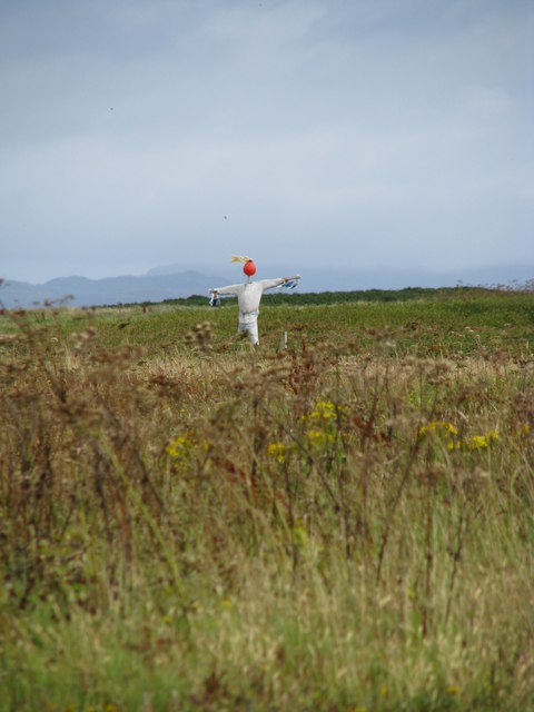
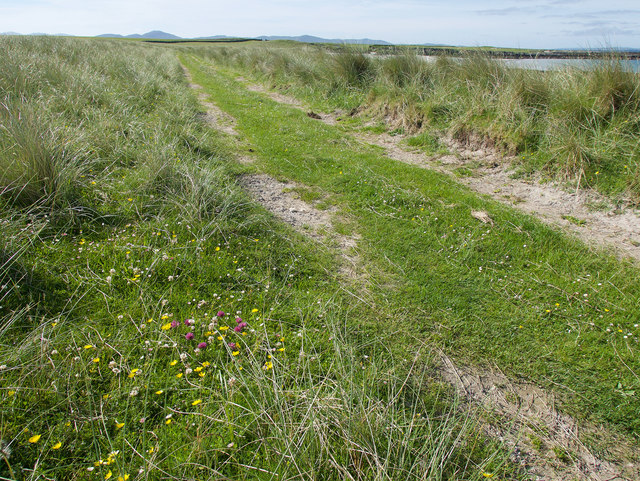
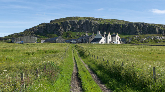
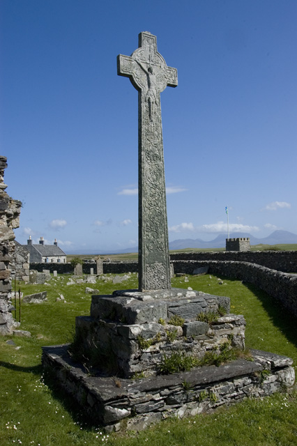
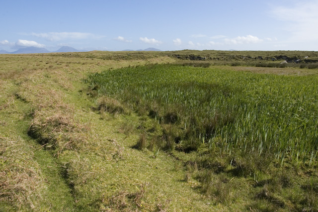
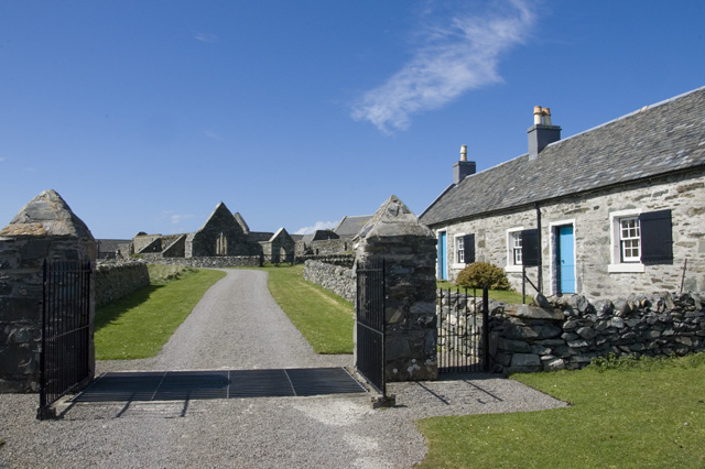
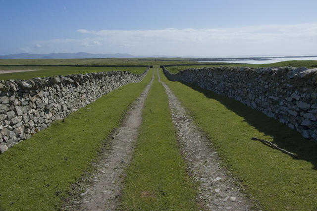
An Dubh-Eilean Images
Images are sourced within 2km of 56.016107/-6.2717062 or Grid Reference NR3388. Thanks to Geograph Open Source API. All images are credited.


An Dubh-Eilean is located at Grid Ref: NR3388 (Lat: 56.016107, Lng: -6.2717062)
Unitary Authority: Argyll and Bute
Police Authority: Argyll and West Dunbartonshire
What 3 Words
///deck.hindered.bottled. Near Scalasaig, Argyll & Bute
Nearby Locations
Related Wikis

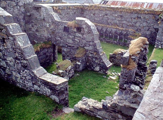
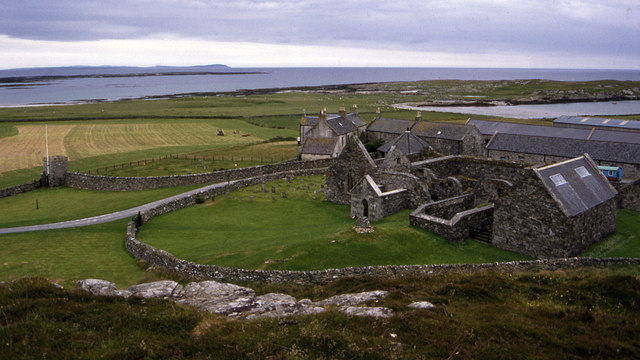
Oronsay Priory
Oronsay Priory was a monastery of canons regular on the island of Oronsay, Inner Hebrides, Argyll, off the coast of Scotland. It was in existence by 1353...

Oronsay, Colonsay
Oronsay (Scottish Gaelic: Orasaigh), also sometimes spelt and pronounced Oransay by the local community, is a small tidal island south of Colonsay in the...

Ardskenish
Ardskenish is a hamlet on the island of Colonsay, in the civil parish of Colonsay and Oronsay, in the council area of Argyll and Bute, Scotland. ��2�...

Dùn Galláin
Dùn Galláin (English: Fort of the Strangers) is a promontory fort located on the Inner Hebridean island of Colonsay, Scotland. The site is located at grid...
Nearby Amenities
Located within 500m of 56.016107,-6.2717062Have you been to An Dubh-Eilean?
Leave your review of An Dubh-Eilean below (or comments, questions and feedback).