Eilean nan Corp
Island in Argyllshire
Scotland
Eilean nan Corp

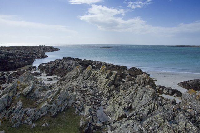
Eilean nan Corp, also known as the Island of Corpses, is a small uninhabited island located off the coast of Argyllshire in western Scotland. Situated in Loch Linnhe, it is part of the Inner Hebrides archipelago. The island, which measures approximately 200 meters in length and 100 meters in width, is characterized by rugged and rocky terrain.
The name "Eilean nan Corp" originates from the historical association of the island with burial practices. It is believed that in ancient times, the island was used as a burial ground for victims of the plague, shipwrecks, and other disasters. This eerie past has given the island its macabre reputation.
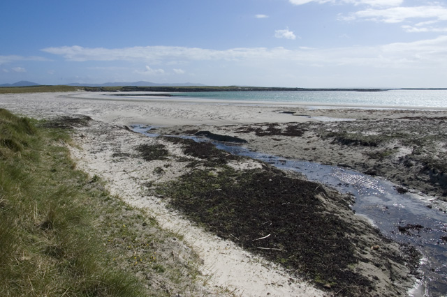
Due to its small size and lack of amenities, Eilean nan Corp is not open to visitors. However, it can be seen from various vantage points in the surrounding area, attracting tourists who are intrigued by its mysterious history. The island is covered in vegetation, with grasses and heather dominating the landscape.
The waters surrounding the island are known for their rich marine life, making it a popular spot for fishing and wildlife enthusiasts. Seals, dolphins, and various seabirds can often be spotted in the vicinity.
Overall, Eilean nan Corp remains a remote and enigmatic location, shrouded in its past as a resting place for the deceased. Its isolated nature and haunting ambiance continue to captivate the imagination of those who catch a glimpse of it from afar.
If you have any feedback on the listing, please let us know in the comments section below.
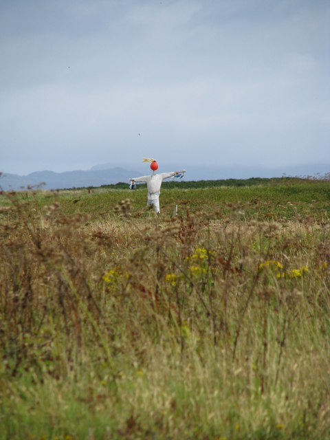
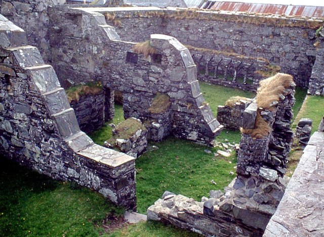
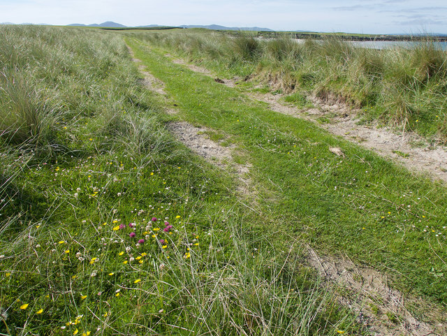
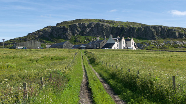
Eilean nan Corp Images
Images are sourced within 2km of 56.019027/-6.2764612 or Grid Reference NR3388. Thanks to Geograph Open Source API. All images are credited.


Eilean nan Corp is located at Grid Ref: NR3388 (Lat: 56.019027, Lng: -6.2764612)
Unitary Authority: Argyll and Bute
Police Authority: Argyll and West Dunbartonshire
What 3 Words
///postage.digests.shapeless. Near Scalasaig, Argyll & Bute
Nearby Locations
Related Wikis

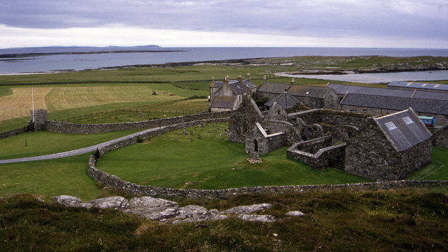
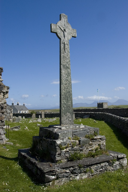
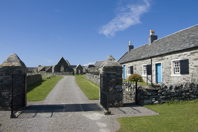
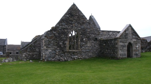
Oronsay Priory
Oronsay Priory was a monastery of canons regular on the island of Oronsay, Inner Hebrides, Argyll, off the coast of Scotland. It was in existence by 1353...

Oronsay, Colonsay
Oronsay (Scottish Gaelic: Orasaigh), also sometimes spelt and pronounced Oransay by the local community, is a small tidal island south of Colonsay in the...

Ardskenish
Ardskenish is a hamlet on the island of Colonsay, in the civil parish of Colonsay and Oronsay, in the council area of Argyll and Bute, Scotland. ��2�...

Dùn Galláin
Dùn Galláin (English: Fort of the Strangers) is a promontory fort located on the Inner Hebridean island of Colonsay, Scotland. The site is located at grid...
Nearby Amenities
Located within 500m of 56.019027,-6.2764612Have you been to Eilean nan Corp?
Leave your review of Eilean nan Corp below (or comments, questions and feedback).