Eilean Rainich

Island in Inverness-shire

Scotland

Eilean Rainich

Jetty and boat on Loch Sgealtair
Jetty and boat on Loch Sgealtair Credit: Alan Pickup

Eilean Rainich is a small island located in the Inner Hebrides archipelago, specifically in Inverness-shire, Scotland. Also known as the Isle of Raasay, it spans an area of approximately 14 square miles and is situated between the Isle of Skye and the mainland of Scotland. The island is separated from Skye by the narrow Sound of Raasay.

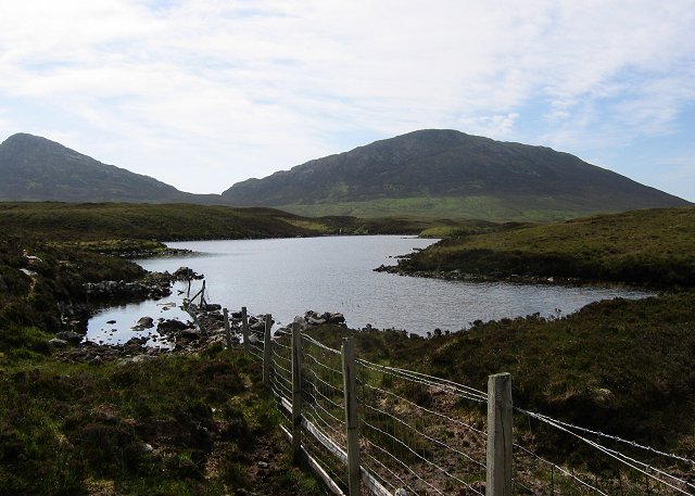
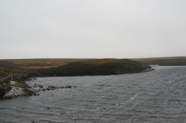
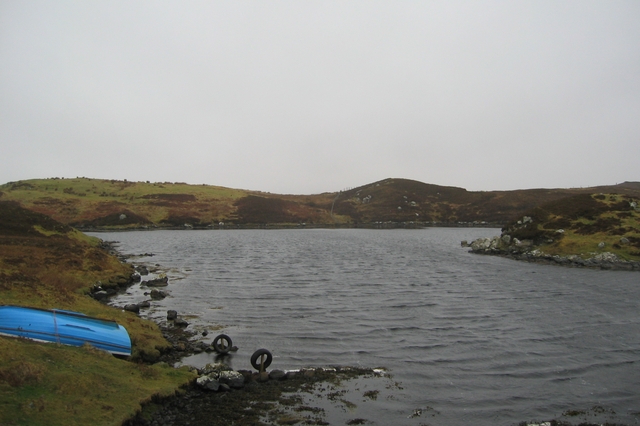
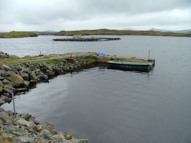
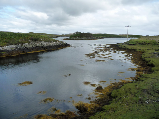
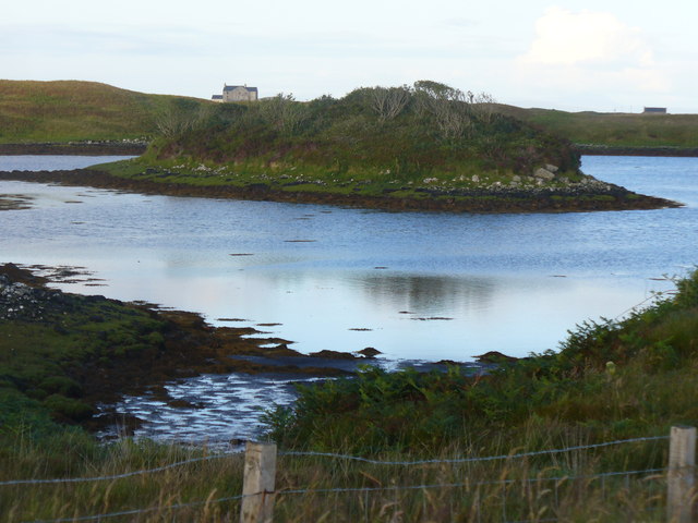
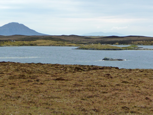
Eilean Rainich boasts a stunning landscape, characterized by rugged cliffs, rolling hills, and picturesque coastline. The highest point on the island is the summit of Dun Caan, standing at 1,451 feet above sea level. It offers panoramic views of the surrounding area, including the Cuillin mountain range on Skye.

Historically, Eilean Rainich has been inhabited since prehistoric times, with evidence of ancient settlements and chambered cairns. The island's name derives from the Gaelic word "Ratharsair," meaning "Isle of the Roe Deer." It has a rich cultural heritage, with connections to the Clan MacLeod and Clan MacInnes.

In terms of wildlife, Eilean Rainich is home to various species of birds, including sea eagles, golden eagles, and puffins. The island also boasts diverse flora, with heather, bluebells, and orchids found throughout.

Eilean Rainich is a popular destination for outdoor enthusiasts, offering opportunities for hiking, wildlife spotting, and photography. Visitors can explore the island's trails, visit the ruins of Brochel Castle, or simply enjoy the tranquility of its natural surroundings.

Overall, Eilean Rainich is a picturesque island with a rich history and diverse wildlife, making it a must-visit destination for nature lovers and those seeking a peaceful retreat in the heart of the Inner Hebrides.

If you have any feedback on the listing, please let us know in the comments section below.

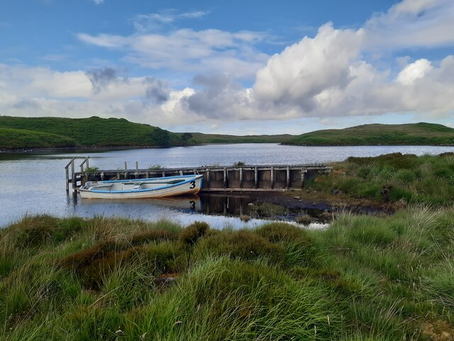
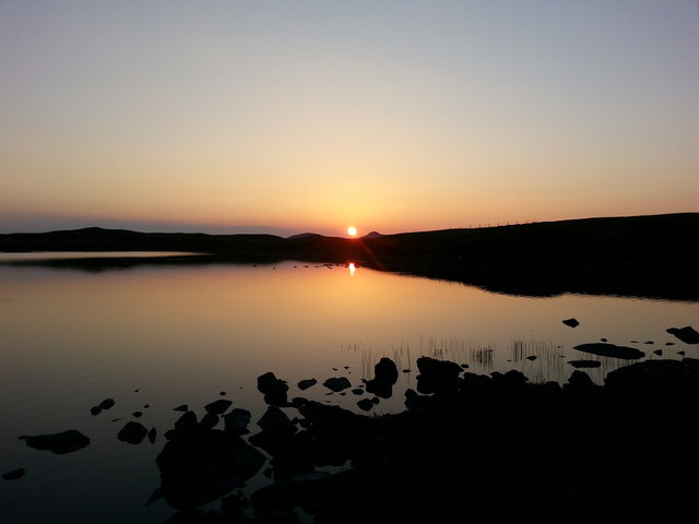
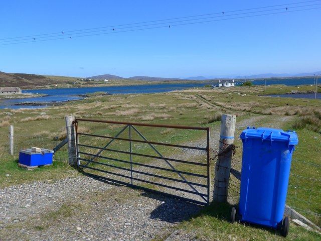
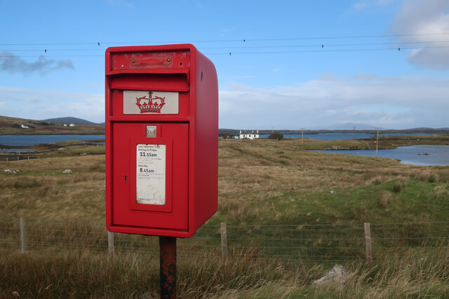
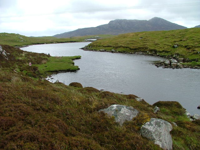
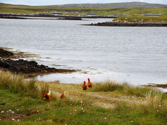
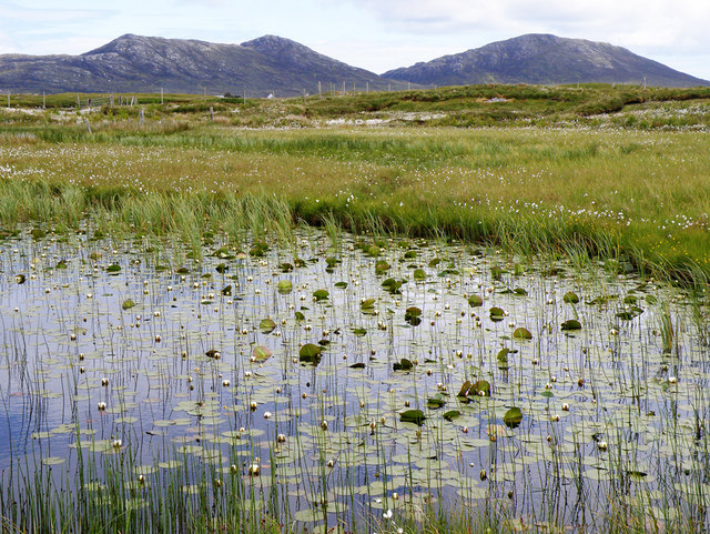
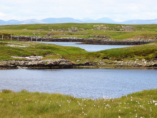
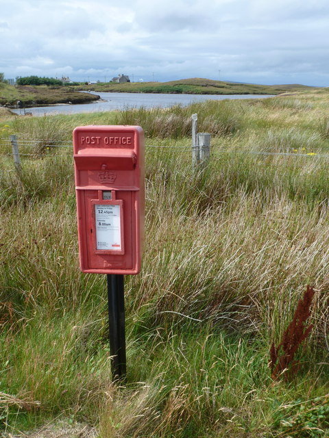
Eilean Rainich Images

Images are sourced within 2km of 57.602804/-7.2022454 or Grid Reference NF8968. Thanks to Geograph Open Source API. All images are credited.

Jetty and boat on Loch Sgealtair
Loch nan Geireann A view across Loch nan Geireann, with the peaked hill of Sgeallrabhal to the left of the setting sun.
Loch nan Geireann
A view across Loch nan Geireann, with the peaked hill of Sgeallrabhal to the left of the setting sun.
Track leading off the A865 The water beyond is the sea loch, Loch Blathaisbhal.
Track leading off the A865
The water beyond is the sea loch, Loch Blathaisbhal.
South Lee and an unnamed lochan by Bagh Leireabhagh Moorland lochan on the rough walk to the Lees.
South Lee and an unnamed lochan by Bagh Leireabhagh
Moorland lochan on the rough walk to the Lees.
Inlet of Loch Mhidhinis Desolate looking on a grey April day.
Inlet of Loch Mhidhinis
Desolate looking on a grey April day.
Loch an Struth Mhòir This is the narrow inlet to a substantial loch just north of Lochmaddy.
Loch an Struth Mhòir
This is the narrow inlet to a substantial loch just north of Lochmaddy.
Jetty on Loch Sgealtair. Used mainly for the fish farm.
Jetty on Loch Sgealtair.
Used mainly for the fish farm.
Loch Shir Thomais One of the many inlets of Loch Nam Madadh (Loch Maddy)
Loch Shir Thomais
One of the many inlets of Loch Nam Madadh (Loch Maddy)
Free range hebridean chickens Just how free range I'm not sure, the closest house was quite a way away over a Loch
Free range hebridean chickens
Just how free range I'm not sure, the closest house was quite a way away over a Loch
Lilies on a Loch I was surprised at just how many of the lochs have water lilies, this one also has Li a Tuath and Li a Deas in the distance
Lilies on a Loch
I was surprised at just how many of the lochs have water lilies, this one also has Li a Tuath and Li a Deas in the distance
Loch Midhinis In the distance can be seen the hills of the Isle of Harris
Loch Midhinis
In the distance can be seen the hills of the Isle of Harris
Road Junction near Sruth Mor On the way south from the ferry from Harris, the A865 meets the A867.  The black house on the left of the picture has been rescued from ruin by the addition of a corrugated-iron roof, but the windows are blocked-up, so at best it is used for storage.
Road Junction near Sruth Mor
On the way south from the ferry from Harris, the A865 meets the A867. The black house on the left of the picture has been rescued from ruin by the addition of a corrugated-iron roof, but the windows are blocked-up, so at best it is used for storage.
Channel to Loch Houran The narrow channel linking Lochs an Struth Mhòir and Houran.
Channel to Loch Houran
The narrow channel linking Lochs an Struth Mhòir and Houran.
"In need of some modernisation" A semi-ruined cottage by the road into Lochmaddy, badly in need of some TLC!
"In need of some modernisation"
A semi-ruined cottage by the road into Lochmaddy, badly in need of some TLC!
Loch Houram Tidal inlet of the larger sea loch, Loch nam Madadh.
Loch Houram
Tidal inlet of the larger sea loch, Loch nam Madadh.
Loch an t-Struith Mhòir A large loch in North Uist's confusion of sea and land. The large island is Eilean nam Faoileag. The hill on the left is Eabhal in NF8960.
Loch an t-Struith Mhòir
A large loch in North Uist's confusion of sea and land. The large island is Eilean nam Faoileag. The hill on the left is Eabhal in NF8960.
Strumore: postbox № HS6 4 A small postbox for a small, scattered village on the outskirts of Lochmaddy. It is emptied at 12:45 on weekdays and at 8am on Saturdays.
Strumore: postbox № HS6 4
A small postbox for a small, scattered village on the outskirts of Lochmaddy. It is emptied at 12:45 on weekdays and at 8am on Saturdays.
Show me another place!

Eilean Rainich is located at Grid Ref: NF8968 (Lat: 57.602804, Lng: -7.2022454)

Unitary Authority: Na h-Eileanan an Iar

Police Authority: Highlands and Islands

What 3 Words

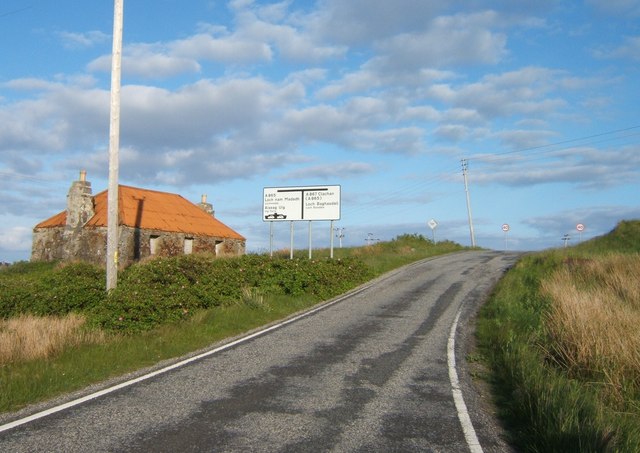
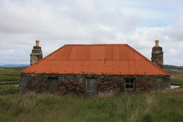
///glosses.beaters.suave. Near Lochmaddy, Na h-Eileanan Siar

Related Wikis

Lochmaddy

Lochmaddy (Scottish Gaelic: Loch nam Madadh [l̪ˠɔx nə ˈmat̪əɣ], "Loch of the Hounds") is the administrative centre of North Uist in the Outer Hebrides...

Taigh Chearsabhagh

Taigh Chearsabhagh is an arts centre and museum in Lochmaddy on the island of North Uist, Scotland.Taigh Chearsabhagh was built in 1741 and originally...

Na Fir Bhrèige

Na Fir Bhrèige (pronounced [nə fiɾʲ ˈvɾʲeːkʲə]; can be translated from Gaelic into English as "The False Men") is a set of three standing stones on the...

Loch Sgadabhagh

Loch Sgadabhagh or Loch Scadavay is a body of water on the island of North Uist, Scotland. The name may be of Old Norse derivation meaning "lake of tax...

Have you been to Eilean Rainich?

Leave your review of Eilean Rainich below (or comments, questions and feedback).