Loch na Maighdein

Lake, Pool, Pond, Freshwater Marsh in Inverness-shire

Scotland

Loch na Maighdein

Jetty and boat on Loch Sgealtair
Jetty and boat on Loch Sgealtair Credit: Alan Pickup

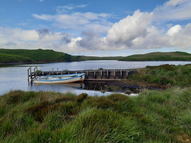
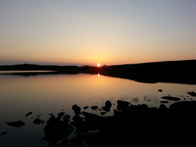
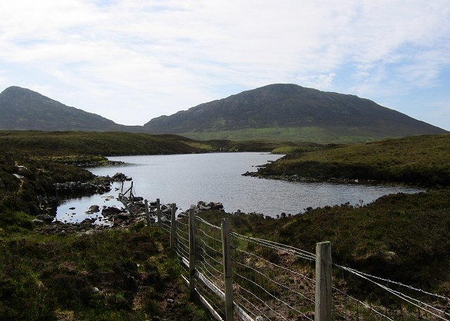
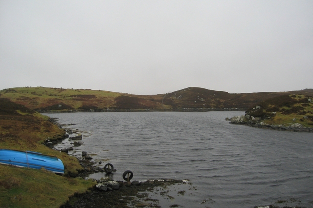
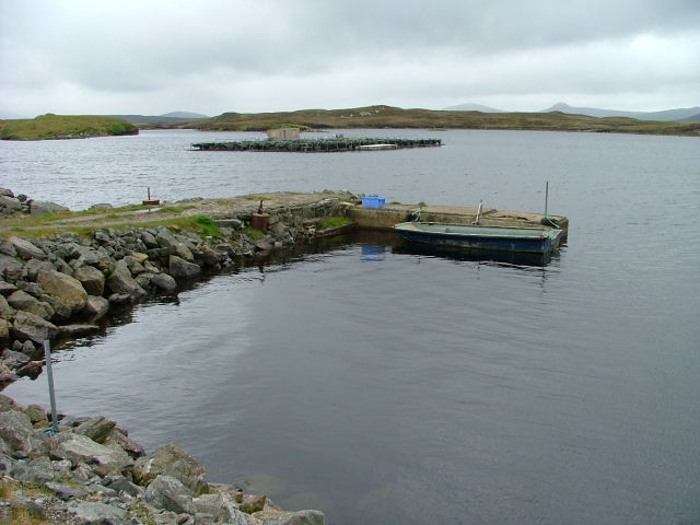
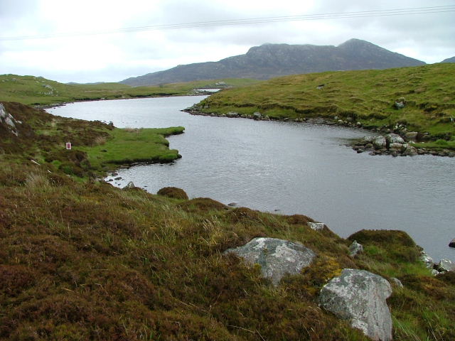
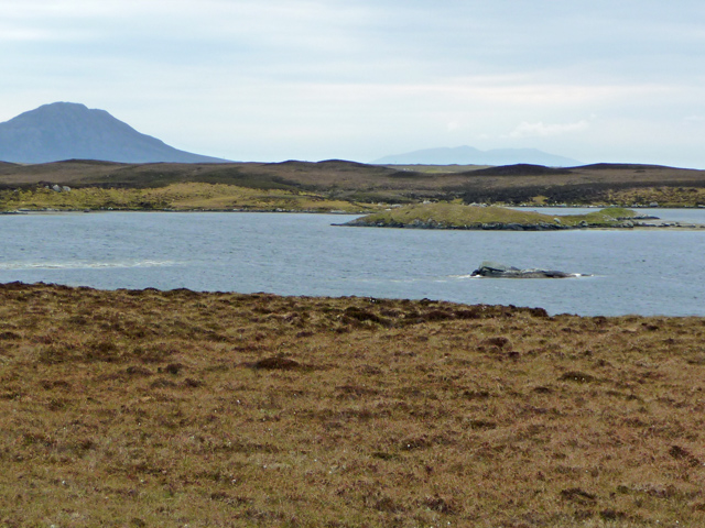
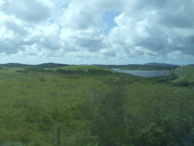
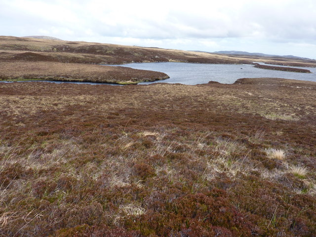
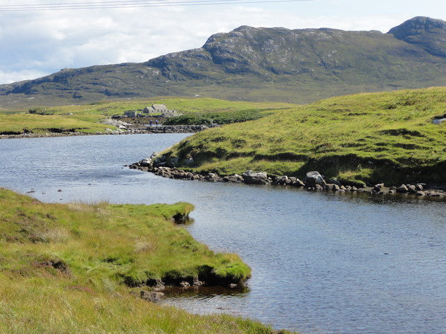
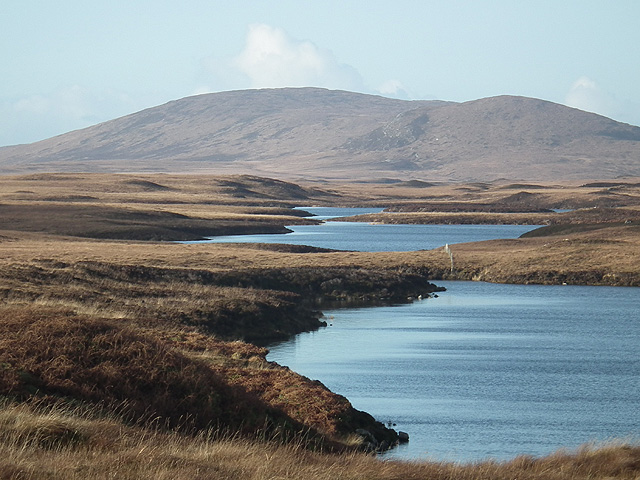
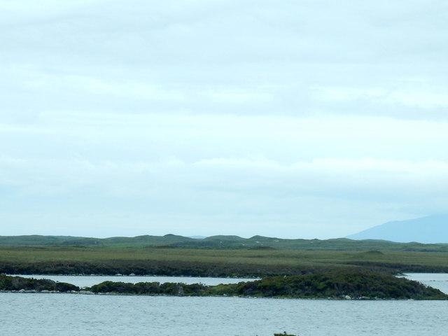
Loch na Maighdein is a picturesque freshwater lake located in the Inverness-shire region of Scotland. Nestled amidst the stunning Scottish Highlands, this serene body of water offers a peaceful escape for locals and tourists alike.

Covering an area of approximately 10 hectares, Loch na Maighdein is surrounded by lush greenery and rolling hills, creating a truly enchanting setting. The lake's crystal-clear waters are fed by numerous small streams and springs that flow down from the surrounding mountains, ensuring a constant supply of fresh water.

The lake is known for its diverse ecosystem, supporting a wide range of flora and fauna. The surrounding wetlands and marshes provide a habitat for various species of waterfowl, including ducks, geese, and swans. Additionally, the lake is home to several species of fish, such as trout and perch, making it a popular spot for anglers.

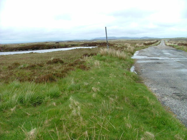
Loch na Maighdein is also a haven for nature enthusiasts and outdoor adventurers. The surrounding area offers numerous walking trails and hiking routes, allowing visitors to explore the breathtaking scenery and enjoy panoramic views of the lake and surrounding mountains.

For those seeking tranquility and relaxation, Loch na Maighdein is an ideal destination. The calm waters and peaceful atmosphere make it a perfect spot for boating, kayaking, or simply enjoying a picnic by the shore. Whether visitors are looking to connect with nature or simply unwind in a serene environment, Loch na Maighdein offers a truly unforgettable experience.

If you have any feedback on the listing, please let us know in the comments section below.

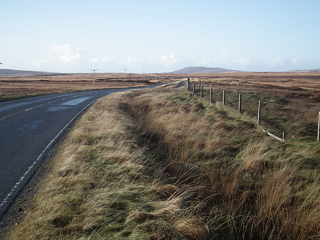
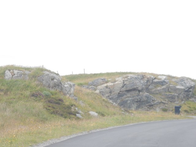
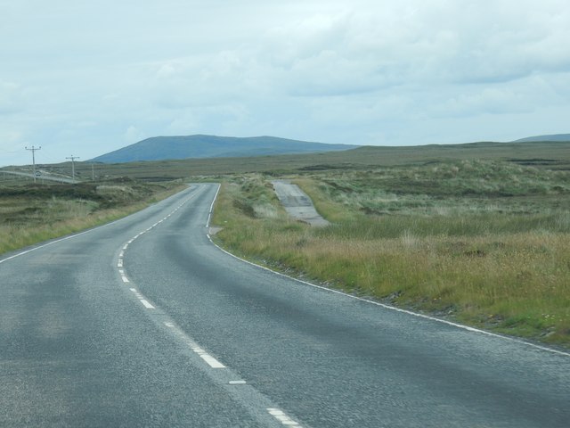
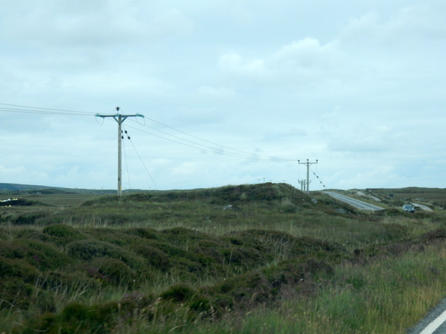
Loch na Maighdein Images

Images are sourced within 2km of 57.596408/-7.2034916 or Grid Reference NF8968. Thanks to Geograph Open Source API. All images are credited.

Jetty and boat on Loch Sgealtair
Loch nan Geireann A view across Loch nan Geireann, with the peaked hill of Sgeallrabhal to the left of the setting sun.
Loch nan Geireann
A view across Loch nan Geireann, with the peaked hill of Sgeallrabhal to the left of the setting sun.
South Lee and an unnamed lochan by Bagh Leireabhagh Moorland lochan on the rough walk to the Lees.
South Lee and an unnamed lochan by Bagh Leireabhagh
Moorland lochan on the rough walk to the Lees.
Loch an Struth Mhòir This is the narrow inlet to a substantial loch just north of Lochmaddy.
Loch an Struth Mhòir
This is the narrow inlet to a substantial loch just north of Lochmaddy.
Jetty on Loch Sgealtair. Used mainly for the fish farm.
Jetty on Loch Sgealtair.
Used mainly for the fish farm.
Loch Shir Thomais One of the many inlets of Loch Nam Madadh (Loch Maddy)
Loch Shir Thomais
One of the many inlets of Loch Nam Madadh (Loch Maddy)
Loch an t-Struith Mhòir A large loch in North Uist's confusion of sea and land. The large island is Eilean nam Faoileag. The hill on the left is Eabhal in NF8960.
Loch an t-Struith Mhòir
A large loch in North Uist's confusion of sea and land. The large island is Eilean nam Faoileag. The hill on the left is Eabhal in NF8960.
North Uist moorland The enlarged A867 crosses a landscape evenly divided between peat bog and loch.
North Uist moorland
The enlarged A867 crosses a landscape evenly divided between peat bog and loch.
Loch an Struth Mhoir
Where Garbh-abhainn Ard flows into Loch na Garbh-abhainn Ard
Loch na Ciste View of the loch from the small causeway.
Loch na Ciste
View of the loch from the small causeway.
Typical North Uist landscape With many lochs and some respectable hills. In the foreground is Loch na Maighdein.
Typical North Uist landscape
With many lochs and some respectable hills. In the foreground is Loch na Maighdein.
Looking west on the A867 road out of Lochmaddy
Outcrop near Loch Maddy Taken just after you leave Loch Maddy going south
Outcrop near Loch Maddy
Taken just after you leave Loch Maddy going south
Old road For a number of miles, another road runs next to main road. I assume it was the original road south.
Old road
For a number of miles, another road runs next to main road. I assume it was the original road south.
Power cables I think these are bring the power from the south up to Loch Maddy.
Power cables
I think these are bring the power from the south up to Loch Maddy.
Islands in the loch One of the many lochs along the A867 as it goes south from Loch Maddy.
Islands in the loch
One of the many lochs along the A867 as it goes south from Loch Maddy.
The Old A867 Looking north.
The Old A867
Looking north.
Show me another place!

Loch na Maighdein is located at Grid Ref: NF8968 (Lat: 57.596408, Lng: -7.2034916)

Unitary Authority: Na h-Eileanan an Iar

Police Authority: Highlands and Islands

What 3 Words

///rugs.laying.poorly. Near Lochmaddy, Na h-Eileanan Siar

Related Wikis

Lochmaddy

Lochmaddy (Scottish Gaelic: Loch nam Madadh [l̪ˠɔx nə ˈmat̪əɣ], "Loch of the Hounds") is the administrative centre of North Uist in the Outer Hebrides...

Taigh Chearsabhagh

Taigh Chearsabhagh is an arts centre and museum in Lochmaddy on the island of North Uist, Scotland.Taigh Chearsabhagh was built in 1741 and originally...

Loch Sgadabhagh

Loch Sgadabhagh or Loch Scadavay is a body of water on the island of North Uist, Scotland. The name may be of Old Norse derivation meaning "lake of tax...

Na Fir Bhrèige

Na Fir Bhrèige (pronounced [nə fiɾʲ ˈvɾʲeːkʲə]; can be translated from Gaelic into English as "The False Men") is a set of three standing stones on the...

Nearby Amenities

Located within 500m of 57.596408,-7.2034916
Parking
Parking: surface
Lat/Long: 57.5941522/-7.2042927
Passing Place
Lat/Long: 57.5937411/-7.2083425
Description: Hebridean Way - Pointing W : Lochmaddy, 1.3 miles. Pointing W: North Lee Walk. Pointing E: Langass 5 miles
Information: guidepost
Tourism: information
Lat/Long: 57.5942606/-7.2016465
Power: pole
Lat/Long: 57.5945604/-7.1961898
Power: pole
Lat/Long: 57.5944224/-7.1977562
Power: pole
Lat/Long: 57.594283/-7.1993494
Power: pole
Lat/Long: 57.5940559/-7.200712
Power: pole
Lat/Long: 57.5939035/-7.2024554
Power: pole
Lat/Long: 57.5937712/-7.2038931
Power: pole
Lat/Long: 57.5936218/-7.2056338
Power: pole
Lat/Long: 57.593478/-7.2073343
Power: pole
Lat/Long: 57.5933558/-7.2088471
The data included in this document is from www.openstreetmap.org. The data is made available under ODbL.

Have you been to Loch na Maighdein?

Leave your review of Loch na Maighdein below (or comments, questions and feedback).