Loch Deòireabhat
Lake, Pool, Pond, Freshwater Marsh in Inverness-shire
Scotland
Loch Deòireabhat
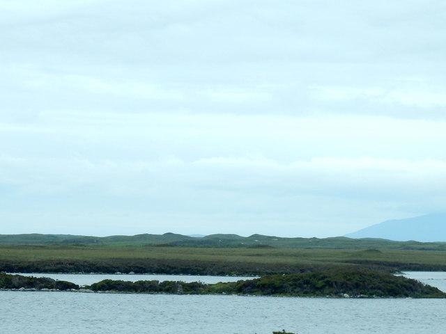
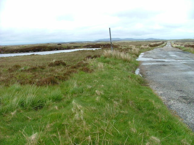
Loch Deòireabhat is a picturesque freshwater loch located in Inverness-shire, Scotland. Surrounded by stunning natural beauty, the loch is nestled within the mountainous region of the Scottish Highlands, providing a tranquil and serene environment for visitors.
Stretching over an area of approximately 10 hectares, Loch Deòireabhat is characterized by its clear, pristine waters. The loch is fed by several small streams and has a maximum depth of around 10 meters. Its water is primarily sourced from rainfall and melting snow from the surrounding mountains.
The shores of Loch Deòireabhat are adorned with lush greenery, creating a rich habitat for a variety of plant and animal species. The loch is home to a diverse range of aquatic wildlife, including various species of fish, such as trout and salmon. Birdwatchers can also spot a multitude of bird species, including waterfowl, waders, and even the occasional osprey.
The surrounding area of Loch Deòireabhat is a haven for outdoor enthusiasts. There are several walking trails and hiking routes that allow visitors to explore the beautiful surroundings. Fishing is a popular activity on the loch, with anglers drawn to its abundant fish population.
The remote location of Loch Deòireabhat adds to its charm, providing a peaceful escape for those seeking solace in nature. Whether it's for a leisurely stroll, a fishing trip, or simply to enjoy the breathtaking scenery, Loch Deòireabhat offers a truly unforgettable experience for visitors to Inverness-shire.
If you have any feedback on the listing, please let us know in the comments section below.
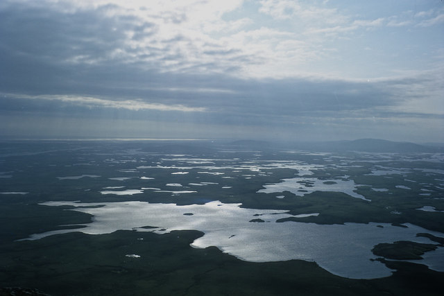
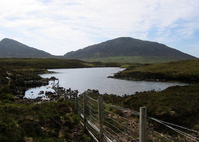
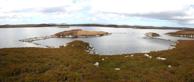
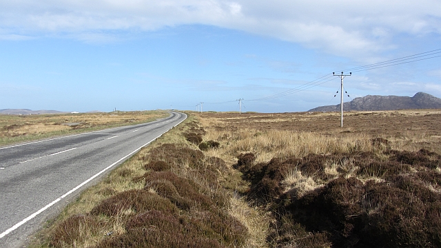
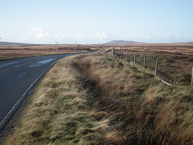
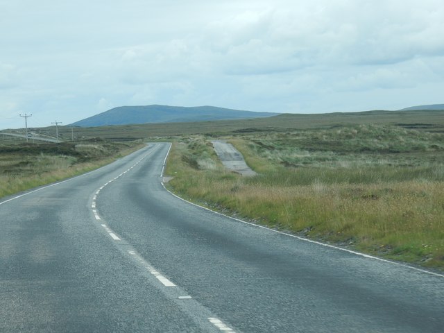
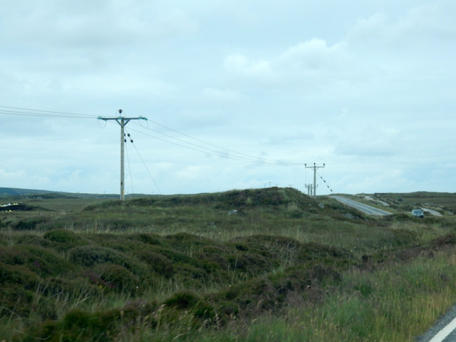
Loch Deòireabhat Images
Images are sourced within 2km of 57.5772/-7.200374 or Grid Reference NF8966. Thanks to Geograph Open Source API. All images are credited.


Loch Deòireabhat is located at Grid Ref: NF8966 (Lat: 57.5772, Lng: -7.200374)
Unitary Authority: Na h-Eileanan an Iar
Police Authority: Highlands and Islands
What 3 Words
///rail.dignitary.cowboy. Near Lochmaddy, Na h-Eileanan Siar
Nearby Locations
Related Wikis

Lochmaddy
Lochmaddy (Scottish Gaelic: Loch nam Madadh [l̪ˠɔx nə ˈmat̪əɣ], "Loch of the Hounds") is the administrative centre of North Uist in the Outer Hebrides...

Taigh Chearsabhagh
Taigh Chearsabhagh is an arts centre and museum in Lochmaddy on the island of North Uist, Scotland.Taigh Chearsabhagh was built in 1741 and originally...

Loch Sgadabhagh
Loch Sgadabhagh or Loch Scadavay is a body of water on the island of North Uist, Scotland. The name may be of Old Norse derivation meaning "lake of tax...

Na Fir Bhrèige
Na Fir Bhrèige (pronounced [nə fiɾʲ ˈvɾʲeːkʲə]; can be translated from Gaelic into English as "The False Men") is a set of three standing stones on the...
Have you been to Loch Deòireabhat?
Leave your review of Loch Deòireabhat below (or comments, questions and feedback).