Cnoc an Amhaire
Hill, Mountain in Inverness-shire
Scotland
Cnoc an Amhaire
Cnoc an Amhaire is a prominent hill located in Inverness-shire, Scotland. Situated in the northern region of the country, it is part of the Scottish Highlands. The hill is located near the village of Invermoriston, approximately 27 miles southwest of Inverness.
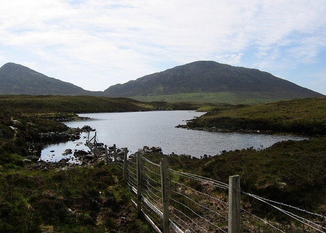
Standing at an elevation of 305 meters (1001 feet), Cnoc an Amhaire offers breathtaking panoramic views of the surrounding countryside. With its gently sloping sides and grassy terrain, it is a popular destination for hikers and nature enthusiasts. The summit provides a vantage point to admire the stunning landscapes, including nearby Loch Ness and the Great Glen.
The hill is part of a larger network of walking trails, making it accessible to visitors of all fitness levels. The routes leading to the summit are well-maintained and offer a mix of open moorland, heather-covered slopes, and woodland. Along the way, hikers may encounter various wildlife species, including red deer, golden eagles, and red squirrels.
Cnoc an Amhaire is also steeped in history and folklore. It is said to be the site of ancient burial mounds and has connections to Celtic mythology. The hill's name translates to the "Hill of the Shepherd" in Gaelic, reflecting its historical significance as a grazing ground for sheep.
Overall, Cnoc an Amhaire is a picturesque hill in Inverness-shire, offering visitors a chance to immerse themselves in Scotland's natural beauty and rich cultural heritage.
If you have any feedback on the listing, please let us know in the comments section below.
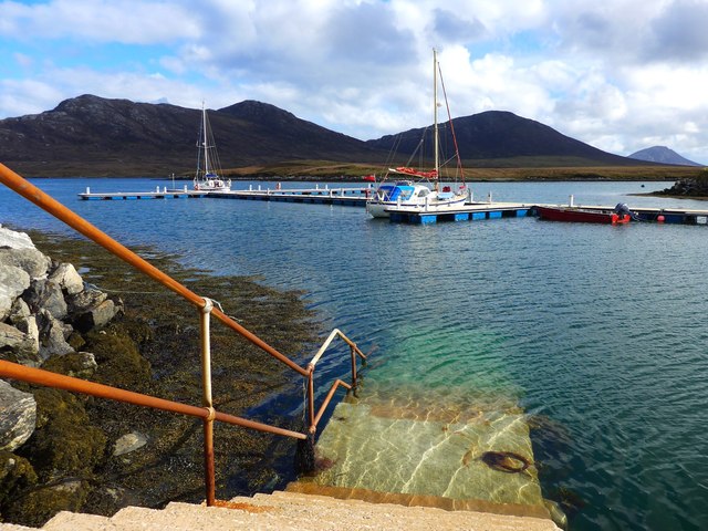
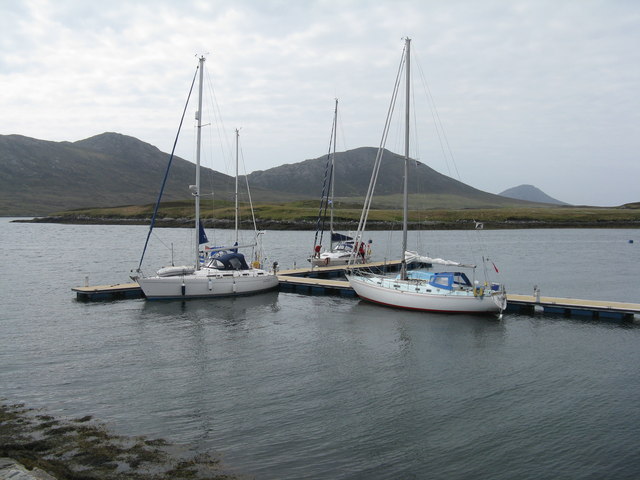
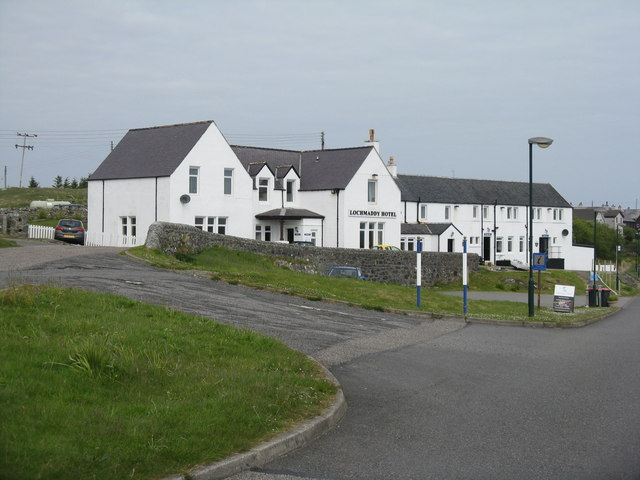
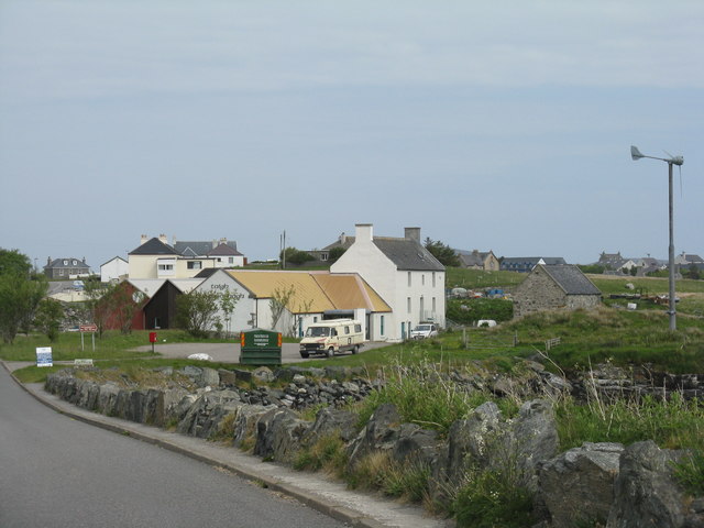
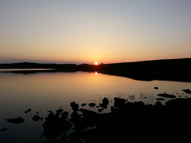
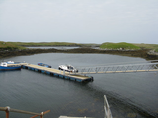
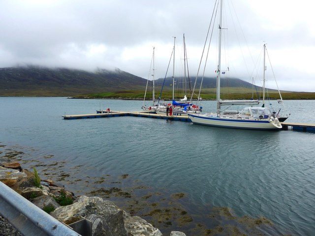
Cnoc an Amhaire Images
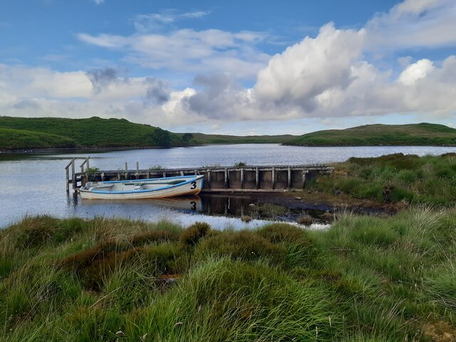
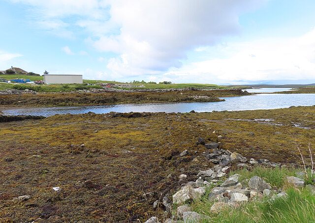
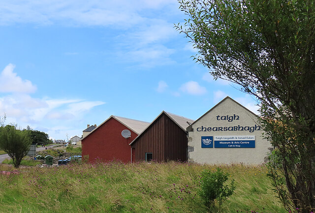
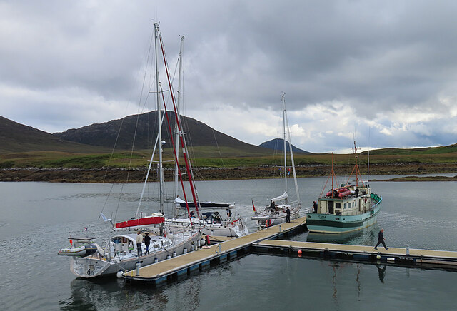
Images are sourced within 2km of 57.595287/-7.1907622 or Grid Reference NF8968. Thanks to Geograph Open Source API. All images are credited.


Cnoc an Amhaire is located at Grid Ref: NF8968 (Lat: 57.595287, Lng: -7.1907622)
Unitary Authority: Na h-Eileanan an Iar
Police Authority: Highlands and Islands
What 3 Words
///intensely.ever.typhoon. Near Lochmaddy, Na h-Eileanan Siar
Related Wikis

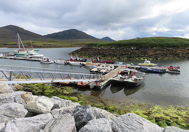
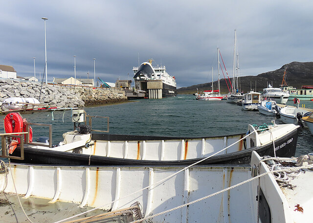
Lochmaddy
Lochmaddy (Scottish Gaelic: Loch nam Madadh [l̪ˠɔx nə ˈmat̪əɣ], "Loch of the Hounds") is the administrative centre of North Uist in the Outer Hebrides...

Taigh Chearsabhagh
Taigh Chearsabhagh is an arts centre and museum in Lochmaddy on the island of North Uist, Scotland.Taigh Chearsabhagh was built in 1741 and originally...

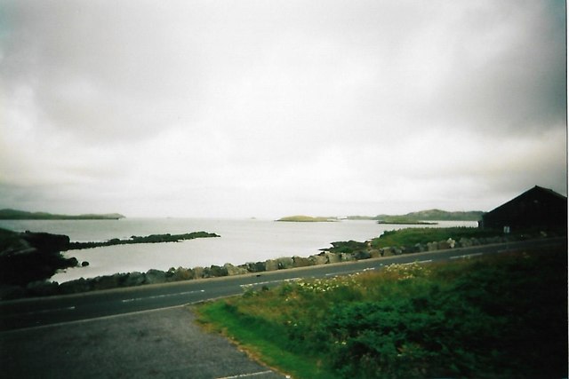
Loch Sgadabhagh
Loch Sgadabhagh or Loch Scadavay is a body of water on the island of North Uist, Scotland. The name may be of Old Norse derivation meaning "lake of tax...

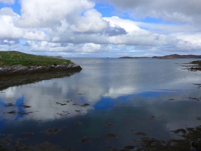
Ceallasaigh Beag
Ceallasaigh Beag (or Keallasay Beg) is a low-lying island in Loch Maddy off North Uist in the Outer Hebrides of Scotland. This an area of shallow lagoons...
Nearby Amenities
Located within 500m of 57.595287,-7.1907622Have you been to Cnoc an Amhaire?
Leave your review of Cnoc an Amhaire below (or comments, questions and feedback).