Linktown
Settlement in Fife
Scotland
Linktown
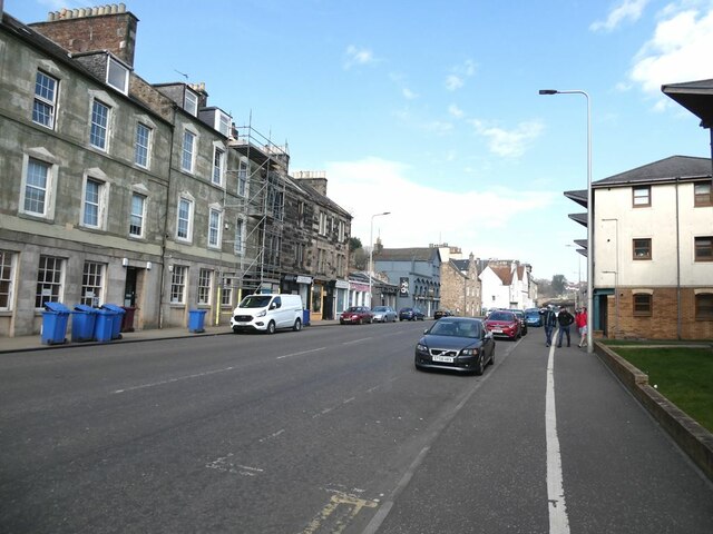
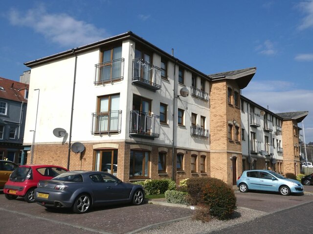
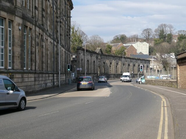
Linktown is a historical town located in Fife, Scotland. Situated on the eastern coast of the country, it is part of the larger town of Kirkcaldy. With a population of over 20,000 residents, Linktown is a vibrant and bustling community.
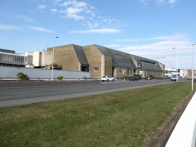
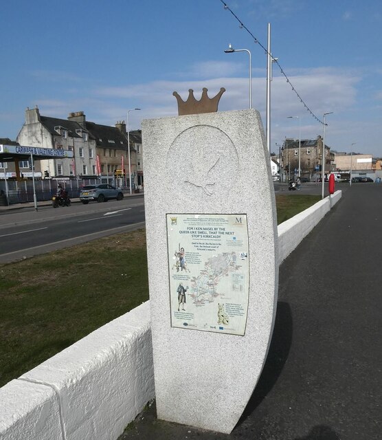
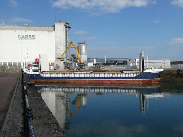
The town has a rich history that dates back to the 12th century, and it played a significant role in Scotland's industrial revolution. Linktown was a hub for the linen industry, with several mills and factories operating in the area during the 18th and 19th centuries. Today, the remnants of this industrial past can still be seen in the form of some well-preserved buildings and landmarks.
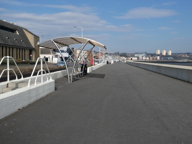
Linktown offers a range of amenities and services to its residents. The town center is home to various shops, supermarkets, and local businesses, providing ample opportunities for shopping and leisure activities. The area also boasts a number of green spaces, including parks and gardens, where residents can enjoy outdoor activities and relaxation.
Education is well catered for in Linktown, with several primary and secondary schools available to local children. The town is also served by public transportation, making it easy to commute to nearby areas or access larger cities such as Edinburgh or Dundee.
Linktown has a strong sense of community, with various local organizations and clubs offering social and recreational activities for residents of all ages. The town also hosts regular events and festivals throughout the year, attracting visitors from across Fife and beyond.
Overall, Linktown is a charming and thriving town in Fife, offering a combination of historical significance, modern amenities, and a welcoming community spirit.
If you have any feedback on the listing, please let us know in the comments section below.
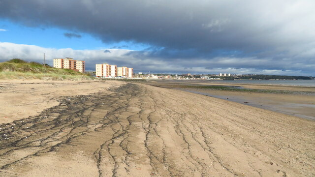
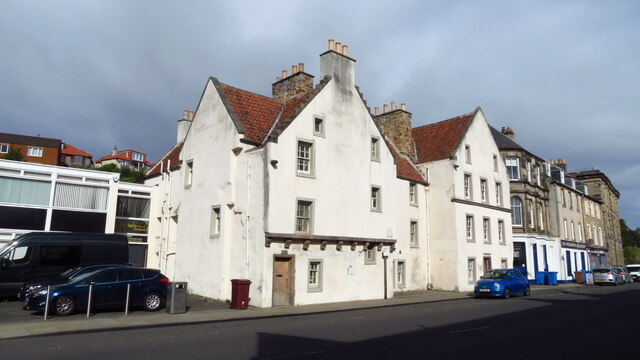
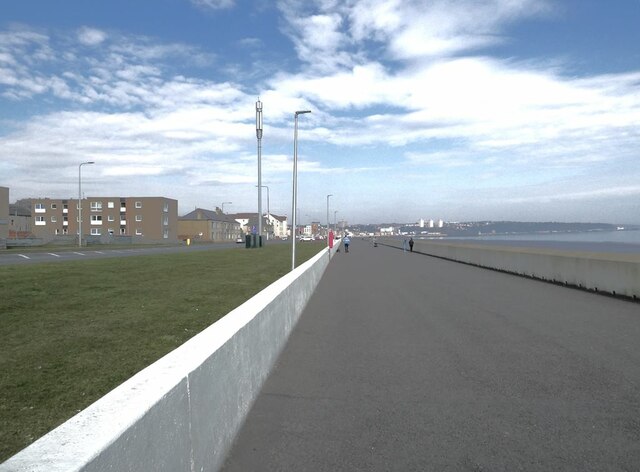
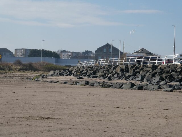
Linktown Images
Images are sourced within 2km of 56.10059/-3.162755 or Grid Reference NT2790. Thanks to Geograph Open Source API. All images are credited.


Linktown is located at Grid Ref: NT2790 (Lat: 56.10059, Lng: -3.162755)
Unitary Authority: Fife
Police Authority: Fife
What 3 Words
///caged.safety.index. Near Kirkcaldy, Fife
Nearby Locations
Related Wikis

Stark's Park
Stark's Park is a football stadium in Kirkcaldy, Scotland. It is the home ground of Raith Rovers, who have played there since 1891. The ground has an all...
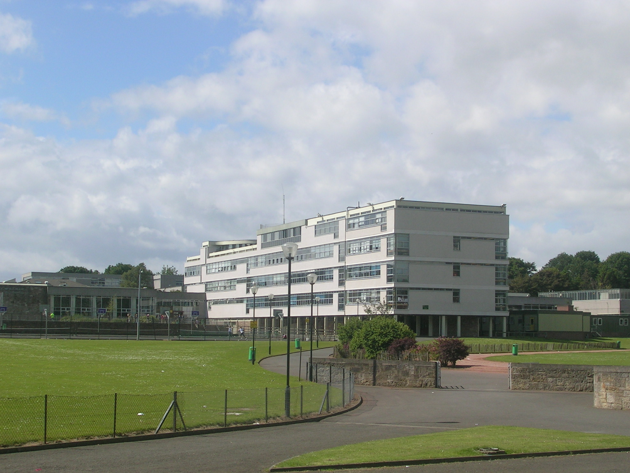
Balwearie High School
Balwearie High School is a non-denominational comprehensive secondary school at the west end of Kirkcaldy in Scotland. Balwearie serves around 1500 pupils...

Links Market
The Links Market in Kirkcaldy, Fife is Europe's longest street fair and the oldest in Scotland. Established in 1304, the annual six-day event attracts...

Kirkcaldy RFC
Kirkcaldy Rugby Football Club is a rugby union club from Kirkcaldy, Fife, Scotland. The men's side currently plays in Scottish National League Division...
Nearby Amenities
Located within 500m of 56.10059,-3.162755Have you been to Linktown?
Leave your review of Linktown below (or comments, questions and feedback).