Linksness

Settlement in Orkney

Scotland

Linksness

Farm road down to the Taing of Redbanks Deer Sound in the distance.
Farm road down to the Taing of Redbanks Credit: Oliver Dixon

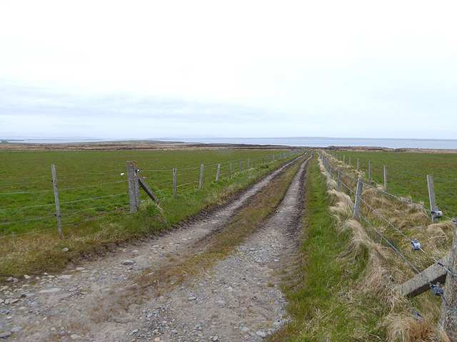
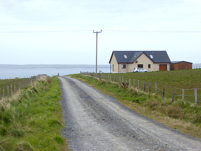
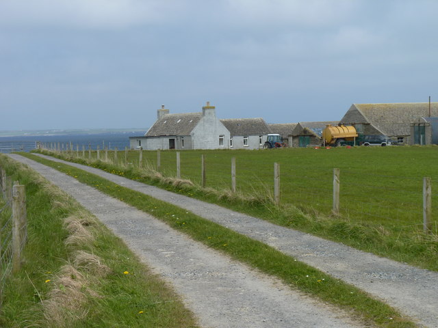
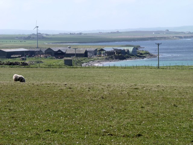
Linksness is a small coastal village located on the island of South Ronaldsay in the Orkney archipelago of Scotland. Situated on the eastern side of the island, it overlooks the North Sea and boasts breathtaking views of the surrounding landscape.

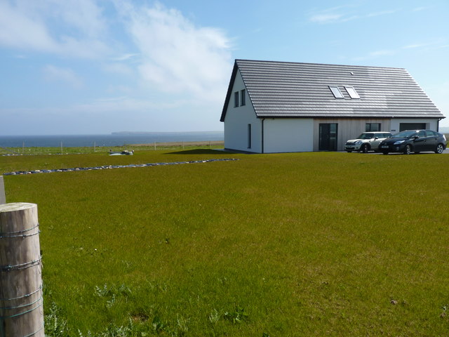
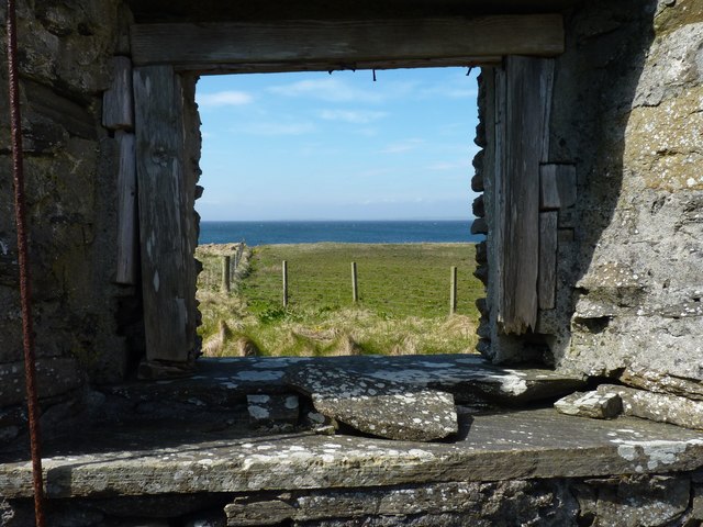
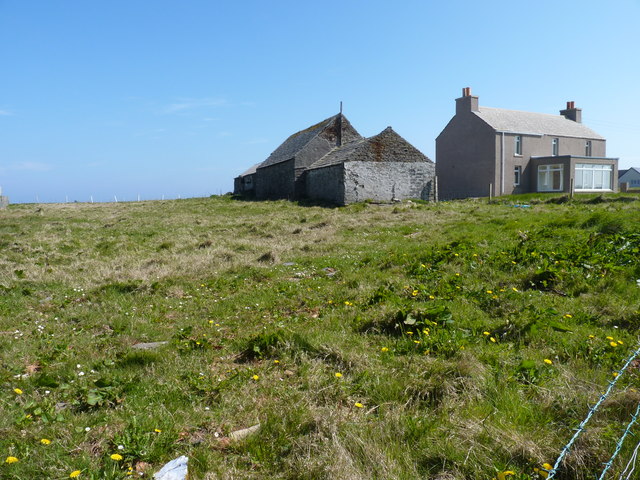
The village is characterized by its serene and picturesque atmosphere, with its charming cottages dotted along the coastline. The peacefulness of Linksness is complemented by the unspoiled sandy beaches and rugged cliffs that provide an ideal setting for nature enthusiasts and outdoor activities.

The village is home to a close-knit community, with a population of approximately 200 residents. Although small in size, Linksness offers essential amenities such as a local shop and a primary school, ensuring that the needs of its inhabitants are met.

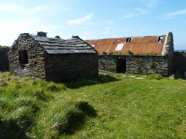
Historically, Linksness has been associated with fishing, and remnants of the fishing industry can still be seen today. The village is also known for its strong maritime heritage, with the nearby Pentland Skerries Lighthouse serving as a prominent landmark.

The surrounding area offers several attractions for visitors to explore. The nearby Tomb of the Eagles, a Neolithic chambered tomb, offers a fascinating glimpse into the island's ancient past. Additionally, the nearby Italian Chapel, built during World War II by Italian prisoners of war, is a testament to the resilience and creativity of its builders.

Overall, Linksness is a tranquil village in the heart of Orkney that offers a perfect blend of natural beauty, community spirit, and historical significance, making it a cherished destination for both residents and visitors alike.

If you have any feedback on the listing, please let us know in the comments section below.

Linksness Images

Images are sourced within 2km of 58.974566/-2.8191907 or Grid Reference HY5310. Thanks to Geograph Open Source API. All images are credited.

Farm road down to the Taing of Redbanks Deer Sound in the distance.
Farm road down to the Taing of Redbanks
Deer Sound in the distance.
Cott of Holland Farm on the Tankerness peninsula.
Cott of Holland
Farm on the Tankerness peninsula.
Farm of Redbanks Seen from a different angle to <a href="https://www.geograph.org.uk/photo/234748">HY5210 : Farm of Redbanks</a>.
Farm of Redbanks
Seen from a different angle to HY5210 : Farm of Redbanks.
Heatherhouse New bungalow on the Tankerness peninsula. The waters of Deer Sound can be seen beyond.
Heatherhouse
New bungalow on the Tankerness peninsula. The waters of Deer Sound can be seen beyond.
Ploughed field on Skibbowick Hill The houses on the skyline are off the Tankerness Hall Road <a href="https://www.geograph.org.uk/gridref/HY5309">HY5309</a>. The bungalow with the red roof can be seen in closeup in <a href="https://www.geograph.org.uk/photo/4524566">HY5309 : Modern bungalow on Fea Hill</a>.
Ploughed field on Skibbowick Hill
The houses on the skyline are off the Tankerness Hall Road HY5309. The bungalow with the red roof can be seen in closeup in HY5309 : Modern bungalow on Fea Hill.
Tankerness Hall Road The eastern end of the road is a cul de sac leading to Holland and Boondatoon only.
Tankerness Hall Road
The eastern end of the road is a cul de sac leading to Holland and Boondatoon only.
Daisy field Looking towards Yinstay Head.
Daisy field
Looking towards Yinstay Head.
Redbanks Farm The water in the background is Shapinsay Sound.
Redbanks Farm
The water in the background is Shapinsay Sound.
Disused enclosure The walls that remain are of substantial looking dry stone construction.
Disused enclosure
The walls that remain are of substantial looking dry stone construction.
Modern house On the road towards Rerwick Head. The island on the horizon is Stronsay.
Modern house
On the road towards Rerwick Head. The island on the horizon is Stronsay.
Farm buildings at Heatherhouse Seen from the road to Rerwick Head.
Farm buildings at Heatherhouse
Seen from the road to Rerwick Head.
Room with a view The room may have vanished but the view (of Shapinsay Sound) is still there.
Room with a view
The room may have vanished but the view (of Shapinsay Sound) is still there.
Abandoned croft Buildings at Rerwick.
Abandoned croft
Buildings at Rerwick.
Grunkeys farm On the OS map it is named Boondatoon but there is a signeboard in the garden beside it with the name Grunkeys.
Grunkeys farm
On the OS map it is named Boondatoon but there is a signeboard in the garden beside it with the name Grunkeys.
Field, Aikers Improved grassland here, but not so good ground near the shore. All finding favour with the waders, especially curlews.
Field, Aikers
Improved grassland here, but not so good ground near the shore. All finding favour with the waders, especially curlews.
Redbanks Pasture, Tankerness
Redbanks
Pasture, Tankerness
Ditch, Tankerness
Ditch, Tankerness
Ditch digging, Tankerness
Show me another place!

Linksness is located at Grid Ref: HY5310 (Lat: 58.974566, Lng: -2.8191907)

Unitary Authority: Orkney Islands

Police Authority: Highlands and Islands

What 3 Words

///aimed.witless.family. Near Tankerness, Orkney Islands

Nearby Locations

Linksness

Related Wikis

Loch of Tankerness

Loch of Tankerness is a large, lowland, freshwater loch on the Orkney mainland in Scotland. The loch is roughly triangular in shape and is shallow with...

St Andrews, Orkney

St Andrews is a parish on Mainland, Orkney in Scotland. It is located east of the town of Kirkwall and the parish of St Ola and lies north of Holm and...

Tankerness

Tankerness is a district in the St Andrews parish in Mainland, Orkney, Scotland. Essentially a peninsula, it is about 13 kilometres (8 mi) south-east of...

Toab, Orkney

Toab is a parish on the Orkney Mainland, situated in the East Mainland. Toab is located off the A960 road at the head of Deer Sound on the Mainland, Orkney...

Nearby Amenities

Located within 500m of 58.974566,-2.8191907
Passing Place
Lat/Long: 58.9709832/-2.8238736
Passing Place
Lat/Long: 58.9727363/-2.8225154
Passing Place
Lat/Long: 58.9736878/-2.8197967
Skibbowick Hill
Place: locality
Lat/Long: 58.976339/-2.8140986
Fea Hill
Ele: 42
Natural: peak
Lat/Long: 58.9721057/-2.8144602
Power: pole
Lat/Long: 58.9737214/-2.8213086
Power: pole
Lat/Long: 58.9744042/-2.8218301
Power: pole
Lat/Long: 58.9747753/-2.8222813
Power: pole
Lat/Long: 58.9755707/-2.8232566
Power: pole
Lat/Long: 58.9763079/-2.8242142
Power: pole
Lat/Long: 58.9770935/-2.8252309
Power: pole
Lat/Long: 58.9737745/-2.8122676
The data included in this document is from www.openstreetmap.org. The data is made available under ODbL.

Have you been to Linksness?

Leave your review of Linksness below (or comments, questions and feedback).