West Mills Plantation
Wood, Forest in Fife
Scotland
West Mills Plantation
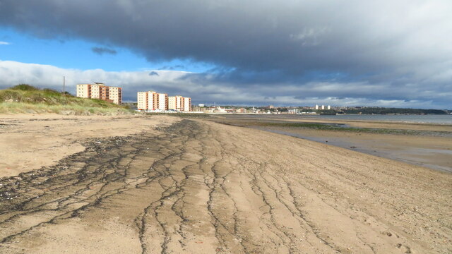
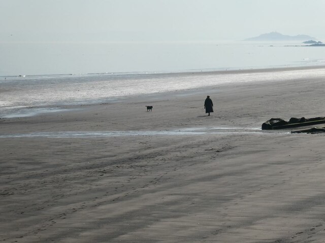
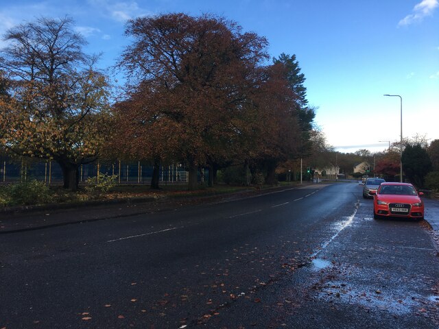
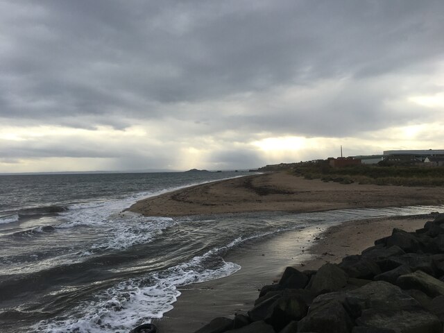
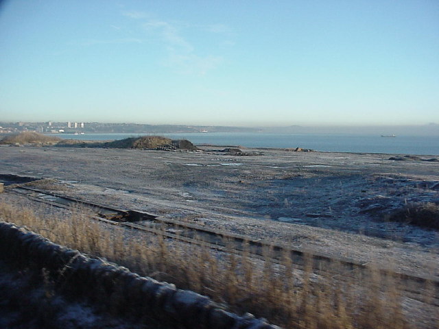
West Mills Plantation, located in Fife, Scotland, is a picturesque woodland area known for its serene beauty and rich history. Spanning over a vast expanse of land, this plantation is nestled amidst a lush and diverse forest, offering a haven for nature enthusiasts and historians alike.
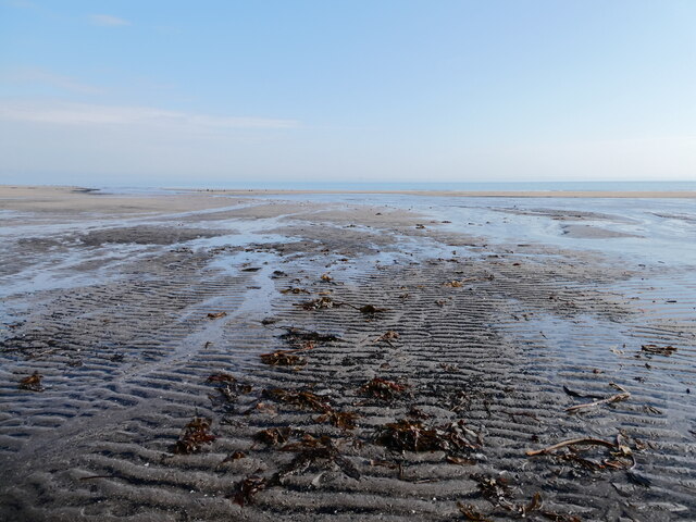
The plantation is characterized by its dense woodlands, which consist of a variety of tree species, including oak, beech, and pine. These trees not only provide a stunning backdrop but also support a thriving ecosystem, making it a prime location for wildlife spotting. Visitors can catch glimpses of red squirrels, deer, and a plethora of bird species as they explore the trails and footpaths that wind through the plantation.
West Mills Plantation is also steeped in history, with evidence of human activity dating back centuries. The site was once home to a bustling water mill, which operated from the late 18th century to the early 20th century. Although the mill no longer stands, remnants of its foundation can still be seen, offering a glimpse into the area's industrial past.
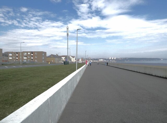
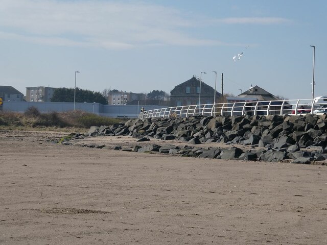
Today, the plantation is managed by a team of dedicated conservationists who work tirelessly to preserve its natural beauty and protect its wildlife. The site is open to the public, offering a range of activities such as walking, cycling, and picnicking. Interpretive signs are strategically placed throughout the plantation, providing visitors with information about the flora, fauna, and historical significance of the area.
West Mills Plantation is a true gem of Fife, offering a tranquil escape from the hustle and bustle of modern life while providing an opportunity to connect with nature and explore the region's rich heritage.
If you have any feedback on the listing, please let us know in the comments section below.
West Mills Plantation Images
Images are sourced within 2km of 56.099981/-3.1745884 or Grid Reference NT2790. Thanks to Geograph Open Source API. All images are credited.


West Mills Plantation is located at Grid Ref: NT2790 (Lat: 56.099981, Lng: -3.1745884)
Unitary Authority: Fife
Police Authority: Fife
What 3 Words
///crops.tests.form. Near Kirkcaldy, Fife
Nearby Locations
Related Wikis
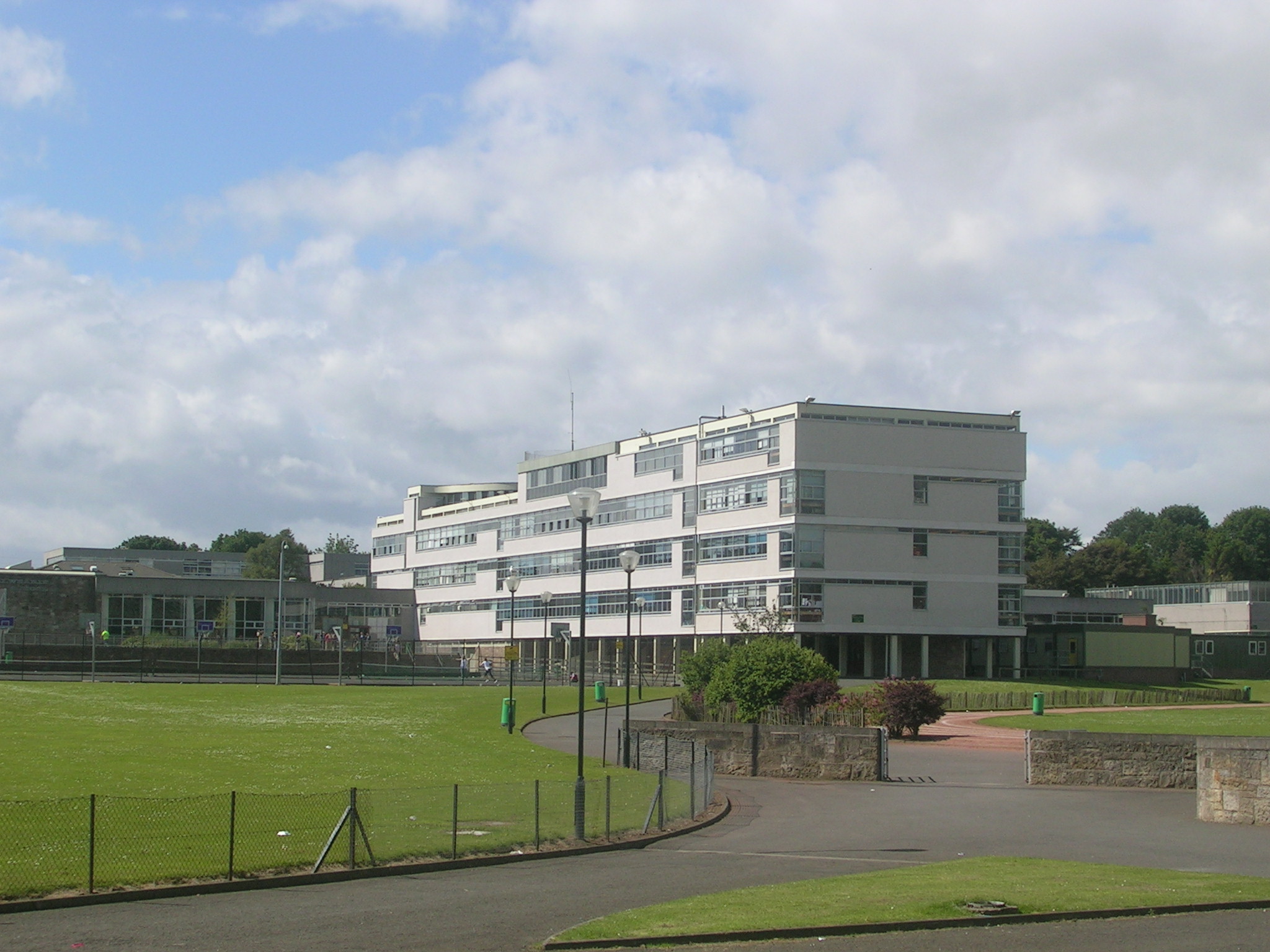
Balwearie High School
Balwearie High School is a non-denominational comprehensive secondary school at the west end of Kirkcaldy in Scotland. Balwearie serves around 1500 pupils...

Stark's Park
Stark's Park is a football stadium in Kirkcaldy, Scotland. It is the home ground of Raith Rovers, who have played there since 1891. The ground has an all...

Kirkcaldy RFC
Kirkcaldy Rugby Football Club is a rugby union club from Kirkcaldy, Fife, Scotland. The men's side currently plays in Scottish National League Division...
Seafield Colliery
Seafield Colliery was in Kirkcaldy, Fife, Scotland. Work on the colliery was started on 12 May 1954 and production began in 1966. On 10 May 1973, five...

Links Market
The Links Market in Kirkcaldy, Fife is Europe's longest street fair and the oldest in Scotland. Established in 1304, the annual six-day event attracts...

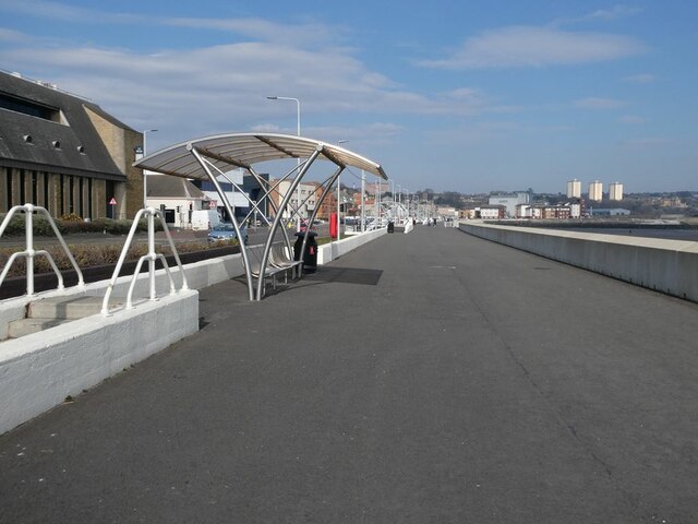
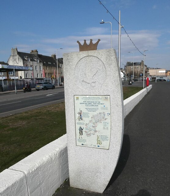
Kirkcaldy
Kirkcaldy ( kur-KAW-dee; Scots: Kirkcaldy; Scottish Gaelic: Cair Chaladain) is a town and former royal burgh in Fife, on the east coast of Scotland. It...

Kirkcaldy Town House
Kirkcaldy Town House is a Scandinavian influenced town hall located in Kirkcaldy, Fife, Scotland. The current town house was begun in 1937, from a competition...

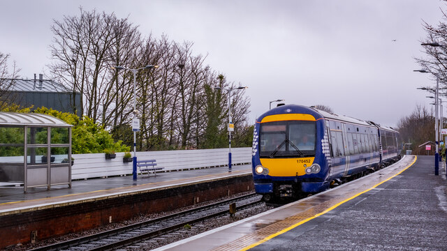
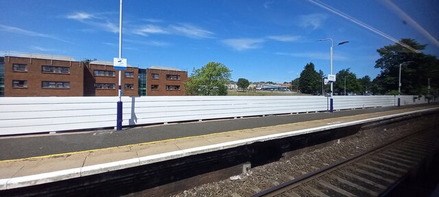
Kirkcaldy railway station
Kirkcaldy railway station is a railway station in the town of Kirkcaldy, Fife, Scotland. The station is managed by ScotRail and is on the Fife Circle Line...
Nearby Amenities
Located within 500m of 56.099981,-3.1745884Have you been to West Mills Plantation?
Leave your review of West Mills Plantation below (or comments, questions and feedback).