Redstones Wood
Wood, Forest in Dumfriesshire
Scotland
Redstones Wood
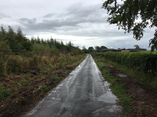
Redstones Wood is a picturesque forest located in Dumfriesshire, a region in southwest Scotland. Covering an area of approximately 500 acres, this enchanting wood is well-known for its natural beauty and diverse wildlife.
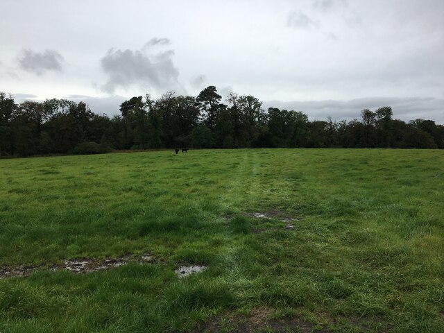
The wood consists mainly of deciduous trees, such as oak, beech, and birch, which create a stunning canopy during the warmer months. The forest floor is adorned with a variety of wildflowers, including bluebells and primroses, adding a splash of color to the landscape.
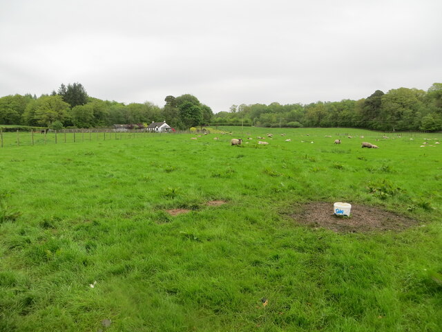
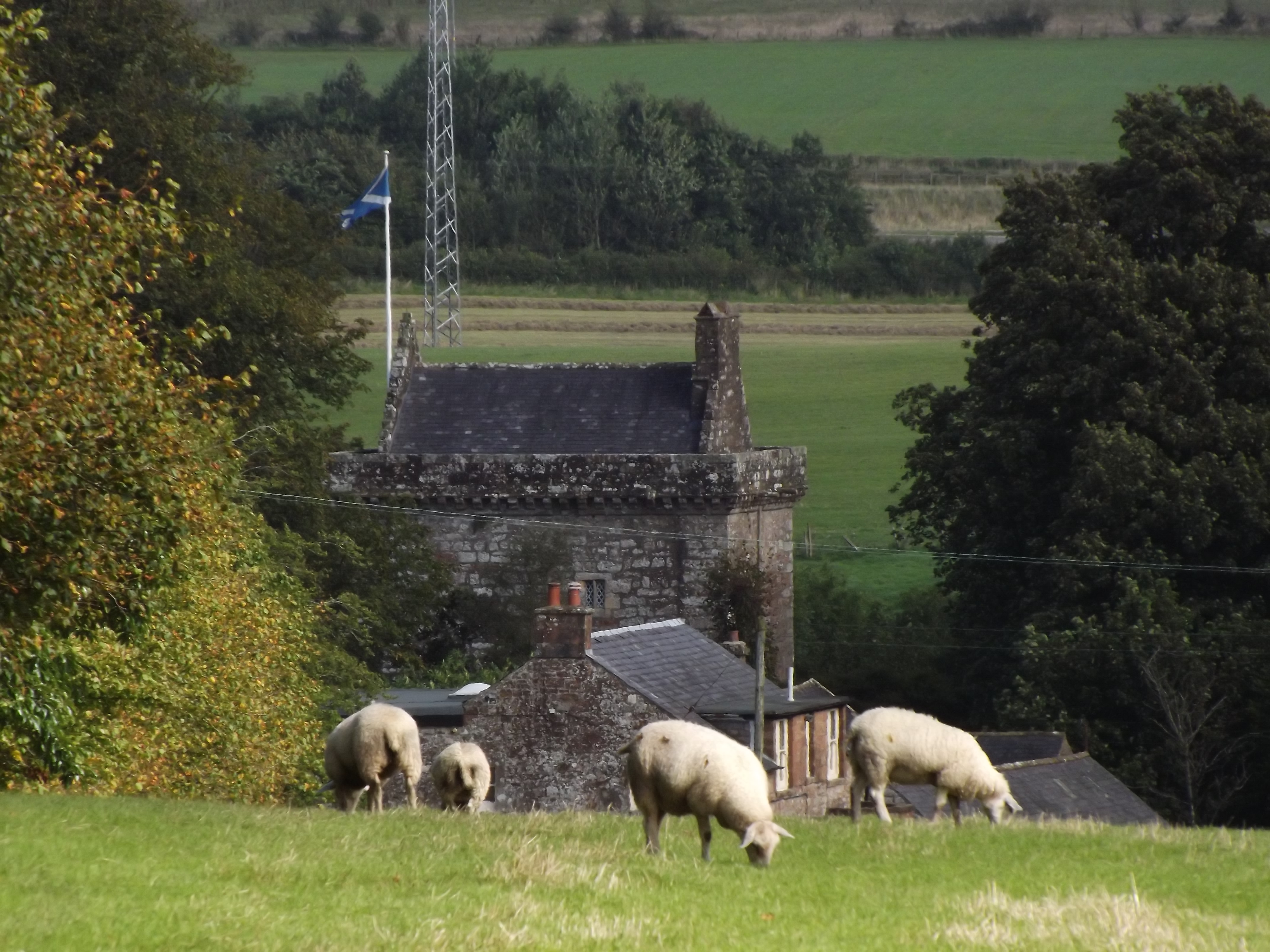
Redstones Wood is a haven for nature enthusiasts and avid birdwatchers. It is home to a wide range of bird species, including woodpeckers, owls, and various songbirds. Visitors can often catch sight of these feathered creatures perched on branches or soaring through the canopy.
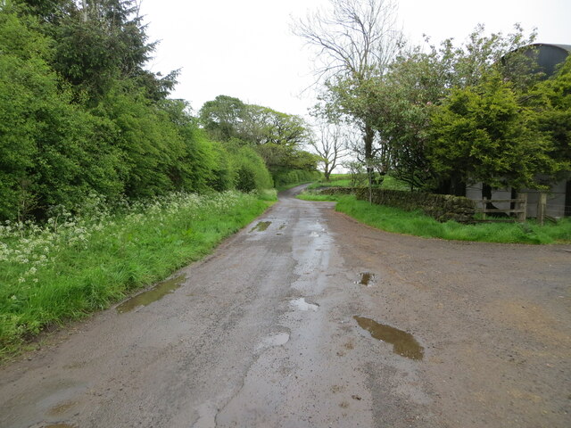
The wood offers several walking trails, allowing visitors to explore the forest at their own pace. These paths wind through ancient trees and lead to hidden clearings, providing a tranquil atmosphere for relaxation and contemplation. In addition to walking, the forest is also popular for cycling and horseback riding.
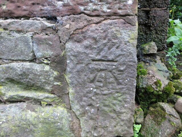
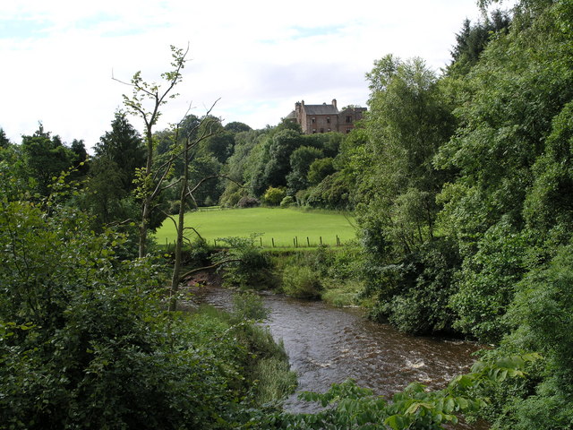
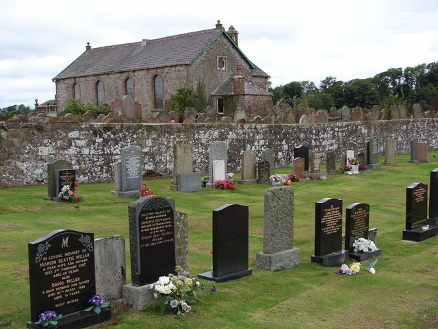
Beyond its natural beauty, Redstones Wood holds historical significance. It is believed that the forest has been in existence for centuries and has witnessed various events throughout history. The wood is dotted with remnants of old stone walls, indicating human habitation in the past.
Overall, Redstones Wood is a captivating destination that offers a blend of natural splendor, wildlife, and historical intrigue. It provides visitors with an opportunity to immerse themselves in the tranquility of nature while exploring the rich heritage of Dumfriesshire.
If you have any feedback on the listing, please let us know in the comments section below.
Redstones Wood Images
Images are sourced within 2km of 55.069974/-3.1442506 or Grid Reference NY2775. Thanks to Geograph Open Source API. All images are credited.


Redstones Wood is located at Grid Ref: NY2775 (Lat: 55.069974, Lng: -3.1442506)
Unitary Authority: Dumfries and Galloway
Police Authority: Dumfries and Galloway
What 3 Words
///unfilled.trader.coder. Near Eastriggs, Dumfries & Galloway
Nearby Locations
Related Wikis

Eaglesfield, Dumfries and Galloway
Eaglesfield is a village in south east Dumfriesshire in the local authority area of Dumfries and Galloway, Scotland. == History == Eaglesfield is of ancient...

Kirtlebridge
Kirtlebridge is a village in Dumfries and Galloway, southern Scotland. It is located 8 kilometres (5.0 mi) north-east of Annan, 5 kilometres (3.1 mi) north...
Bonshaw Tower
Bonshaw Tower is an oblong tower house, probably dating from the mid-16th century, one mile south of Kirtlebridge, Dumfries and Galloway, Scotland, above...
Robgill Tower
Robgill Tower is a tower house near Kirkpatrick Fleming on the banks of the river Kirtle. It was one of a number of towers built along the border as protection...

Kirtlebridge railway station
Kirtlebridge railway station was a station which served the rural area around Kirtlebridge and Eaglesfield, north of Annan in Dumfriesshire, Scotland;...

Kirtlebridge rail crash
The Kirtlebridge rail crash took place in 1872 at Kirtlebridge railway station in Dumfriesshire. An express passenger train ran into a goods train that...
Kirkpatrick-Fleming
Kirkpatrick-Fleming (Scottish Gaelic: Cill Phàdraig) is a village and civil parish in Dumfries and Galloway, south-west Scotland. It is located between...

Blatobulgium
Blatobulgium was a Roman fort, located at the modern-day site known as Birrens, in Dumfriesshire, Scotland. == Name == Blatobulgium is recorded in the...
Related Videos

The Adventures Of Sinclair - Springkell Hotel
Bank Holiday Short Break.

Nearby Amenities
Located within 500m of 55.069974,-3.1442506Have you been to Redstones Wood?
Leave your review of Redstones Wood below (or comments, questions and feedback).